Yasinia — to Kvasy village, via Dragobrat, Mount Blyznytsia, Lake Ivor
Unmarked trailmore
It may be partly marked. Unmarked trails have no information boards, signposts or auxiliary signs (water, campsite, etc.). The decision to walk the trail is entirely your own responsibility.
Trail map
Where to stay nearby


About the trail
Route Yasinia, via Dragobrat, Mount Blyznytsia and Lake Ivor to Kvasy village. Along the route you will see: Mount Stih (Dragobrat), Mount Bliznytsia.
At a glance
A one-day route of 24.3 km with 1,743 m of ascent from Yasinia to Kvasy village. Estimated walking time: about 9 h, not counting stops. Difficulty: hard. Waymarking is missing or partial.
Route stages
- 0–9 kmClimb of 1,020 m to Mount Stih (1,704 m)
- 9–15 kmAlong the ridge at 1,520–1,840 m, past Mount Drahobrat, Mount Bliznytsia
- 15–23 kmDescent of 1,240 m (down to 600 m)
- 23–24 kmGentle ups and downs at 540–600 m
Steepest kilometre: km 8–9, a climb of 320 m (≈32%), near Mount Stih.
Water and overnight stays
Springs near the trail: at km 3, 10, 14, 16, 18, 19, 22, 23 and 24. Some springs run low or dry up in late summer.
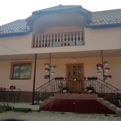
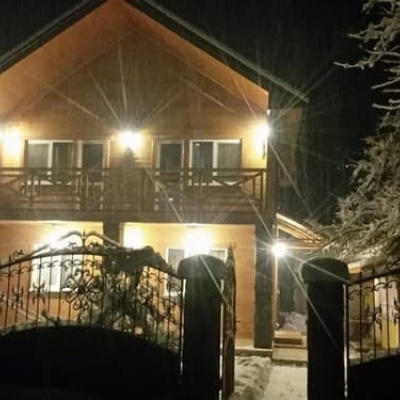
Huts and shelters near the trail: Shepherds' hut (Trostyanets) (km 19), Hut on Polonyna Braivka (km 19). Places to stay near the start: Yasinya; near the finish: Kvasy.
When to go
Best time: June to September. In winter only for experienced hikers with proper gear: avalanche danger is possible. About 9 km of the route runs above 1,500 m, where the weather changes quickly — check the forecast.
Getting there
Start: Yasinia. Most places to stay near the start are in Yasinya. This is a one-way route: the finish is 9 km from the start in a straight line, so plan your way back in advance.
FAQ
- How long does the route take?
- Estimated walking time: about 9 h, not counting stops.
- Is there water on the route?
- Springs near the trail: at km 3, 10, 14, 16, 18, 19, 22, 23 and 24. Some springs run low or dry up in late summer.
- Where can I stay overnight?
- Huts and shelters near the trail: Shepherds' hut (Trostyanets) (km 19), Hut on Polonyna Braivka (km 19). Places to stay near the start: Yasinya; near the finish: Kvasy.
Water and shelter on the route
- Spring (Yasinya)km 3.2 from the start · Not verified · 793 m
- Spring below Mount Stih (15)km 9.6 from the start · 270 m off the path · Weak flow · 1 558 m
- Spring below Mount Stih (16)km 10.2 from the start · 40 m off the path · Not verified · 1 534 m
- Spring below Mount Blyznytsia (3)km 13.3 from the start · 180 m off the path · Not verified · 1 581 m
- Spring below Mount Blyznytsia (5)km 15.5 from the start · Weak flow · 1 759 m
- Spring (Trostyanets, 24)km 17.3 from the start · 160 m off the path · Not verified · 1 474 m
- Spring (Trostyanets, 22)km 18.1 from the start · 150 m off the path · Not verified · 1 384 m
- Spring (Trostyanets, 21)km 18.6 from the start · 80 m off the path · Not verified · 1 283 m
- Shepherds' hut (Trostyanets)km 19 from the start · Not verified · 1 219 m
- Hut on Polonyna Braivkakm 19 from the start · Poor condition · 1 214 m
- Spring (Trostyanets, 25)km 21.3 from the start · 190 m off the path · Not verified · 801 m
- Spring (Trostyanets, 26)km 22.1 from the start · Not verified · 665 m
- Drinking water (Trostyanets, 3)km 22.8 from the start · 50 m off the path · Not verified · 549 m
- Mineral spring “Burkut-3”km 23.8 from the start · Not verified · 550 m
Comments
What to see on the trail
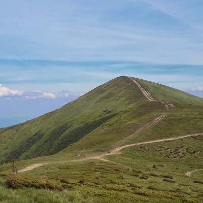 Mount Stih (Dragobrat)altitude 1 704 mStig (locally known as Stug) is a peak of the Ukrainian Carpathians, located in the Rakhiv district of Zakarpattia region in the northeastern part...
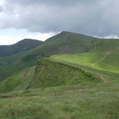 Mount Bliznytsiaaltitude 1 883 mBlyznytsia (also called Bliznytsia, Blyzhnytsia) are two mountains of the Ukrainian Carpathians, located in the eastern part of the Svydovets...
Trails nearby
All trails HardMulti-dayMarkedTranscarpathian Tourist TrailElevation profile198–2 031 m393.2 kmascent 30 283 m
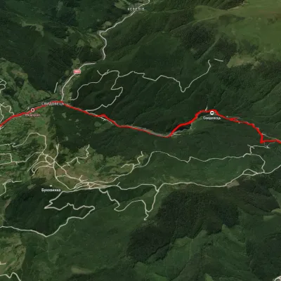 ModerateOne-dayUnmarkedYasinia DragobratElevation profile628–1 344 m13 kmascent 768 m≈ 5 h walking
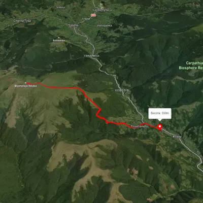 HardTwo-dayUnmarkedKvasy village loopvia Mount BlyznytsiaElevation profile545–1 858 m20.2 kmascent 1 498 m≈ 8 h walking