Bystrytsia villageloop, via Mount Hropa
Unmarked trailmore
It may be partly marked. Unmarked trails have no information boards, signposts or auxiliary signs (water, campsite, etc.). The decision to walk the trail is entirely your own responsibility.
Trail map
About the trail
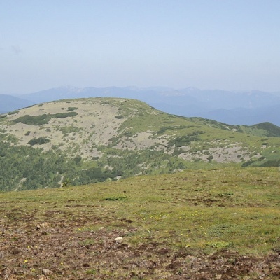
Route Bystrytsia village – Mount Hropa – Bystrytsia village. Along the route you will see: Mount Hropa.
At a glance
A one-day loop route of 14.9 km with 957 m of ascent, starting and finishing at Bystrytsia village. Estimated walking time: about 5.5 h, not counting stops. Difficulty: moderate. Waymarking is missing or partial.
Route stages
- 0–7 kmClimb of 870 m to Mount Hropa (1,759 m)
- 7–8 kmAlong the ridge at 1,640–1,740 m
- 8–15 kmDescent of 790 m (down to 857 m)
Steepest kilometre: km 9–10, a descent of 310 m (≈29%), near Hut below Mount Hropa.
Water and overnight stays
Our map shows no springs near the trail — bring your own water (at least 3 l).
Huts and shelters near the trail: Hut below Mount Hropa (km 11).
When to go
Best time: June to September. In winter only for experienced hikers with proper gear: avalanche danger is possible. About 3 km of the route runs above 1,500 m, where the weather changes quickly — check the forecast.
Getting there
Start: Bystrytsia village. This is a loop: it brings you back to the start.
FAQ
- How long does the route take?
- Estimated walking time: about 5.5 h, not counting stops.
- Is there water on the route?
- Our map shows no springs near the trail — bring your own water (at least 3 l).
- Where can I stay overnight?
- Huts and shelters near the trail: Hut below Mount Hropa (km 11).
Water and shelter on the route
- Hut below Mount Hropakm 10.1 from the start · 50 m off the path · Not verified · 1 090 m
Comments
What to see on the trail
Trails nearby
All trails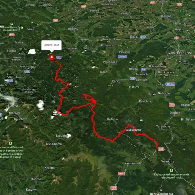 HardMulti-dayUnmarkedTatariv village to Myslivka villagevia Mount Syniak, Mount Dovbushanka +6Elevation profile671–1 792 m171.1 kmascent 9 973 m
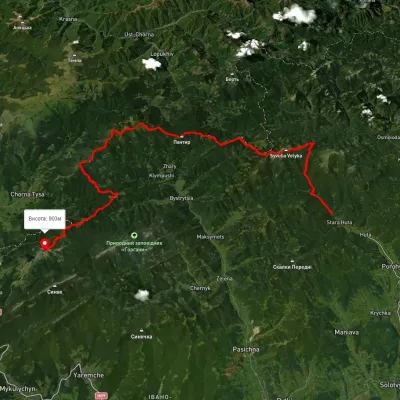 HardMulti-dayUnmarkedStara Huta village to Polianytsia villagevia Mount Syvulia, Legioniv Pass +4Elevation profile705–1 796 m67.5 kmascent 3 798 m
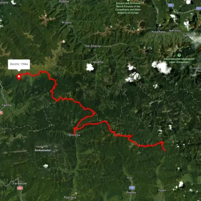 HardMulti-dayUnmarkedOsmoloda village to Dragobratvia Mount Ihrovets, Mount Syvulia +4Elevation profile687–1 824 m116.7 kmascent 4 557 m