Dzembronia village, via Mount Vukhatyi Kamin and Mount Smotrych to Dzembronia village
About the route:
Route Dzembronia village, via Mount Vukhatyi Kamin and Mount Smotrych to Dzembronia village. Warning! This route is unmarked (it may be partially marked)! Unmarked routes are not equipped with: information boards; signposts; auxiliary signs (water, campsite, etc.). The decision to take the route is entirely your own responsibility! Trail length 14356m. Lowest point - 844m., highest point - 1933m. Total elevation gain 1203m. Along the route you will see: Mount Smotrych.
🎮 3D hike
Walk this route in 3D
Real terrain, satellite map, Carpathian forests
Play →
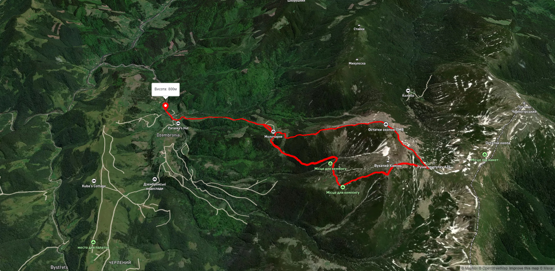
To add a comment you can: login or register.
What to see along the route:
48.06947292207556,24.64425712100831 | Altitude: 1898м
Mount Smotrych
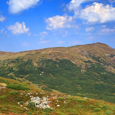 Mount Smotrych (also known as Smotrets) is an 1898-meter peak of the Ukrainian Carpathians. It is located in the Carpathian National Nature Park on the Chornohora mountain range in the Verkhovyna district of Ivano-Frankivsk region.
... More...
Mount Smotrych (also known as Smotrets) is an 1898-meter peak of the Ukrainian Carpathians. It is located in the Carpathian National Nature Park on the Chornohora mountain range in the Verkhovyna district of Ivano-Frankivsk region.
... More...


