Lazeshchyna village, via Kozmeshchyk and Mount Petros to Yasinia
About the route:
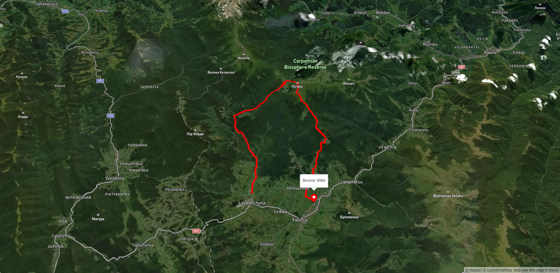
Route Lazeshchyna village, via Kozmeshchyk and Mount Petros to Yasinia. Warning! This route is unmarked (it may be partially marked)! Unmarked routes are not equipped with: information boards; signposts; auxiliary signs (water, campsite, etc.). The decision to take the route is entirely your own responsibility! Trail length 30894m. Lowest point - 662m., highest point - 2007m. Total elevation gain 1455m. Along the route you will see: Mount Petros, Mount Petrosul, Strukivska (Ascension) Church, Yasinia.
🎮 3D hike
Walk this route in 3D
Real terrain, satellite map, Carpathian forests
Play →
To add a comment you can: login or register.
What to see along the route:
48.17186346999781,24.421140246313485 | Altitude: 2020м
Mount Petros
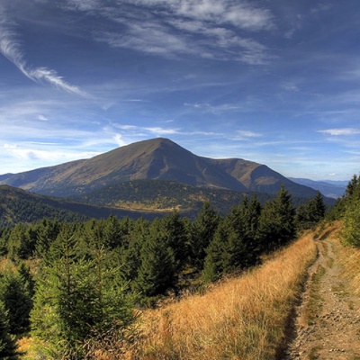 Mount Petros is the fourth highest (2020 m) peak of the Ukrainian Carpathians after Hoverla (2061), Brebeneskul (2035 m) and Pop Ivan Chornohirsky (2028 m). It is located in Rakhiv district of Zakarpattia region.
... More...
Mount Petros is the fourth highest (2020 m) peak of the Ukrainian Carpathians after Hoverla (2061), Brebeneskul (2035 m) and Pop Ivan Chornohirsky (2028 m). It is located in Rakhiv district of Zakarpattia region.
... More...
48.18101746825811,24.419016838122598 | Altitude: 1855м
Mount Petrosul
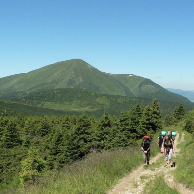 Petrosul is an 1855-meter peak of the Ukrainian Carpathians, which is the "neighboring mountain" of Petros, as it is located "at arm's length" from it (in the northern direction).
... More...
Petrosul is an 1855-meter peak of the Ukrainian Carpathians, which is the "neighboring mountain" of Petros, as it is located "at arm's length" from it (in the northern direction).
... More...
48.2595628,24.345073700000057 | Altitude: 663м
Strukivska (Ascension) Church, Yasinia
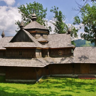 The Church of the Ascension or Strukiv is the real pride of the village of Yasinia and the entire Hutsul region. It was built in the beginning of 1824 on the slopes of Kosterivka, a surprisingly beautiful mountain.
... More...
The Church of the Ascension or Strukiv is the real pride of the village of Yasinia and the entire Hutsul region. It was built in the beginning of 1824 on the slopes of Kosterivka, a surprisingly beautiful mountain.
... More...


