Bushtyno — to Mount Manchul, via Zanivka tract
Unmarked trailmore
It may be partly marked. Unmarked trails have no information boards, signposts or auxiliary signs (water, campsite, etc.). The decision to walk the trail is entirely your own responsibility.
Trail map
Where to stay nearby



About the trail
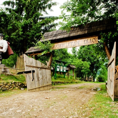
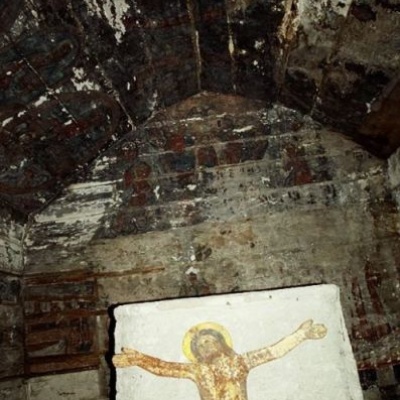
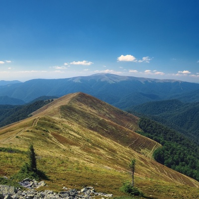
Route Bushtyno, via Zanivka tract to Mount Manchul. Along the route you will see: Church of St. Nicholas the Wonderworker, Kolodne, Mount Manchul.
At a glance
A multi-day route of 45.5 km with 2,066 m of ascent from Bushtyno to Mount Manchul. Estimated time: 2 days of 7–8 h of walking (about 15 h in total, not counting stops). Difficulty: hard. Waymarking is missing or partial.
Route stages
- 0–11 kmGentle ups and downs at 200–450 m
- 11–13 kmDescent of 170 m (down to 275 m)
- 13–19 kmGentle ups and downs at 270–500 m
- 19–22 kmDescent of 190 m (down to 305 m)
- 22–32 kmGentle ups and downs at 300–420 m
- 32–46 kmClimb of 1,080 m to Mount Manchul (1,501 m)
Steepest kilometre: km 36–37, a climb of 190 m (≈19%).
Water and overnight stays
Springs near the trail: at km 35 and 41. There are no springs between km 0 and 35 — carry at least 5.5 l of water.
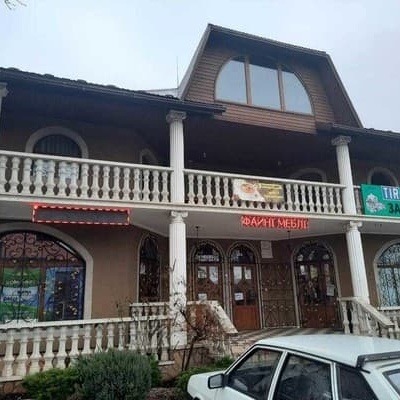
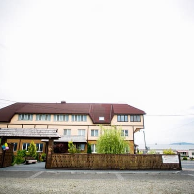
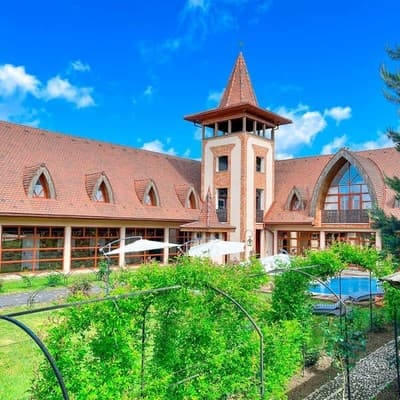
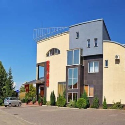
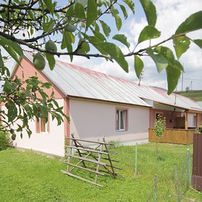
Places to stay near the start: Tyachiv.
A possible split into days:
- Day 1: km 0–25, ≈7.5 h — overnight: no shelter nearby on the map, bring a tent
- Day 2: km 25–46, ≈7.5 h — finish
When to go
Best time: May to October. In winter deep snow is possible, so experience and winter gear are needed.
Getting there
Start: Bushtyno. Most places to stay near the start are in Tyachiv. This is a one-way route: the finish is 33 km from the start in a straight line, so plan your way back in advance.
FAQ
- How long does the route take?
- Estimated time: 2 days of 7–8 h of walking (about 15 h in total, not counting stops).
- Is there water on the route?
- Springs near the trail: at km 35 and 41. There are no springs between km 0 and 35 — carry at least 5.5 l of water.
- Where can I stay overnight?
- Places to stay near the start: Tyachiv.
Water and shelter on the route
- Spring (Drahovo)km 33.7 from the start · 70 m off the path · Not verified · 659 m
- Spring (Vilshany, 6)km 39.5 from the start · 280 m off the path · Not verified · 1 031 m
Comments
What to see on the trail
Trails nearby
All trails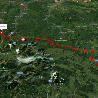 HardMulti-dayUnmarkedSkotarske village to Vilshanske reservoirvia Borzhava polonyna, Palenyi Hrun polonynaElevation profile315–1 504 m72.3 kmascent 3 487 m
 ModerateTwo-dayUnmarkedMount Topas to Kolochava villagevia Mereshor villageElevation profile459–1 531 m21.8 kmascent 434 m≈ 6.5 h walking
 HardMulti-dayUnmarkedUst-Chorna village to Kolochava villagevia Mount Klymova, Mount Syhlianskyi +1Elevation profile522–1 558 m42.1 kmascent 1 698 m≈ 14 h walking