Krasnyk village, via the Krynta–Skupova ridge to Zelene village
About the route:
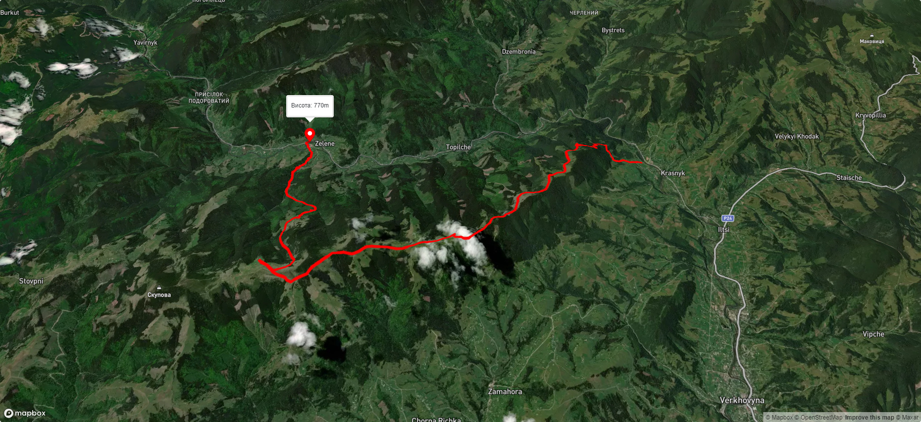
Route Krasnyk village, via the Krynta–Skupova ridge to Zelene village. Warning! This route is unmarked (it may be partially marked)! Unmarked routes are not equipped with: information boards; signposts; auxiliary signs (water, campsite, etc.). The decision to take the route is entirely your own responsibility! Trail length 23141m. Lowest point - 671m., highest point - 1395m. Total elevation gain 960m. Along the route you will see: Museum of Hutsul life, Krasnyk, Polonyna Krinta (Krenta), Polonyna Lukovytsia.
🎮 3D hike
Walk this route in 3D
Real terrain, satellite map, Carpathian forests
Play →
To add a comment you can: login or register.
What to see along the route:
48.140746019224295,24.738887333312977 | Altitude: 699м
Museum of Hutsul life, Krasnyk
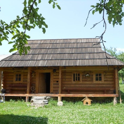 The museum has been open since 2011. It is housed in a Hutsul house, which was built in 2009 on the model of the eighteenth century.
... More...
The museum has been open since 2011. It is housed in a Hutsul house, which was built in 2009 on the model of the eighteenth century.
... More...
48.112963293659796,24.757620503305056 | Altitude: 1300м
Polonyna Krinta (Krenta)
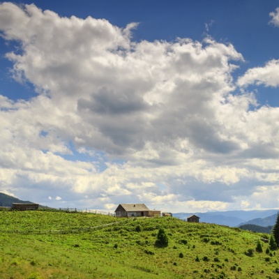 "Polonyna Krynta is a place where you can taste the authentic taste of Hutsul cheese, various museums, rafting on the Cheremosh, Prut, and Black Tisza rivers, mountain hiking, horseback riding, biking, and trips to meadows.
... More...
"Polonyna Krynta is a place where you can taste the authentic taste of Hutsul cheese, various museums, rafting on the Cheremosh, Prut, and Black Tisza rivers, mountain hiking, horseback riding, biking, and trips to meadows.
... More...
48.0615596,24.8211382 | Altitude: 1300м
Polonyna Lukovytsia
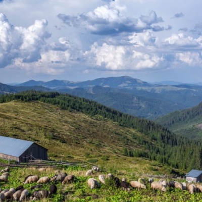 The height of the meadow is more than 1300 meters above sea level. Incredible landscapes that take your breath away. The charms of the meadow are the pawed fir trees, fresh air and lush greenery. We rebuilt the rye for shepherds who not only care for, graze and shear sheep, but also prepare a delicious product - Budz.
... More...
The height of the meadow is more than 1300 meters above sea level. Incredible landscapes that take your breath away. The charms of the meadow are the pawed fir trees, fresh air and lush greenery. We rebuilt the rye for shepherds who not only care for, graze and shear sheep, but also prepare a delicious product - Budz.
... More...


