Mount Strymba
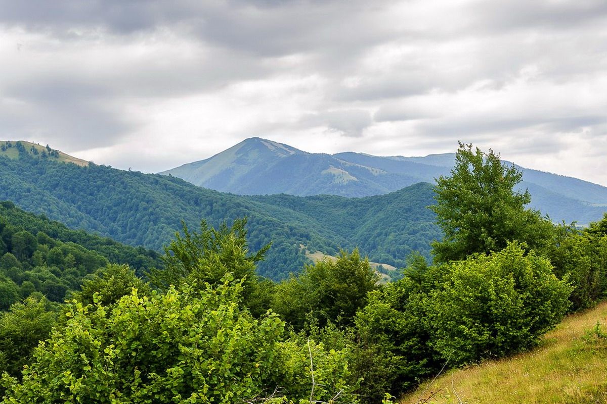
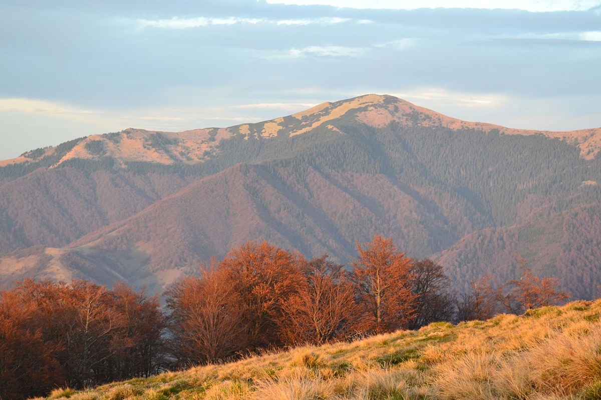
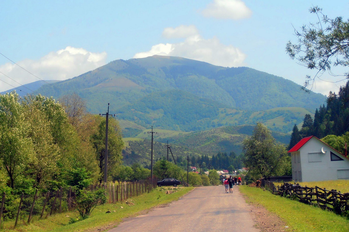
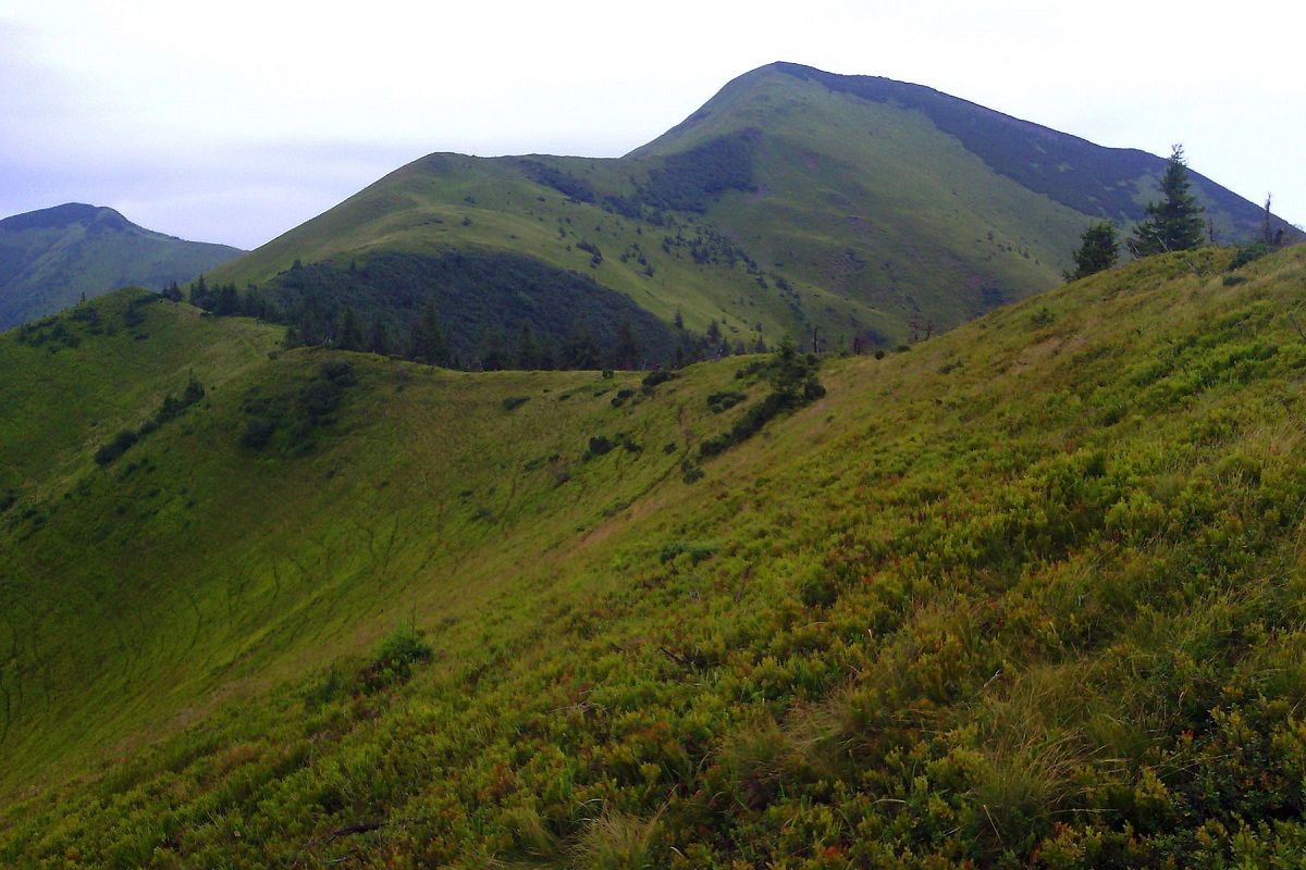
Mount Strymba is a 1,719-meter peak of the Ukrainian Carpathians, which lies within the Gorgan mountain range - on the territory of the Pryvododilni Gorgan. The mountain is located on the ridge of the same name on the border of two districts of Zakarpattia region: Tyachiv and Mizhhirya districts.
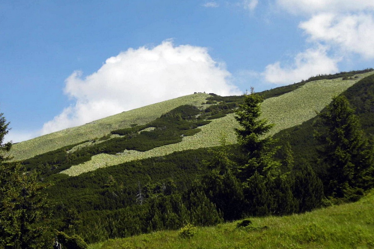
The Strymba is a triangular peak covered with thickets of mountain pine and characteristic Gorgan stone placers. Up to an altitude of 1300-1400 m, the slopes are covered with spruce and beech forests, above this line - with grasses and shrubs. There are small lakes in the gorges.
In the northwestern and eastern directions, the slopes of the mountain are very steep and difficult to pass, in the southeastern direction they are gentle, smoothly turning into a saddle that connects to Mount Stryminis.
To the south of the mountain is the Krasna Ridge, to the northwest is the Pyshkonia Ridge, and to the west is the Tereblya River Valley with the villages of Synevyr, Kolochava, Negrovets, and Horb.
The southwestern part of Strymba is located in the Synevyr National Nature Park.
The nearest settlement is the village of Kolochava in Mizhhiria district of Zakarpattia region.
Location on the map
Water and shelter nearby
- Spring below Mount Strymba (6)270 m · Not verified · 1 586 m
- Spring below Mount Strymba (4)560 m · Has water · 1 379 m
- Drinking water below Mount Strymba670 m · Not verified · 1 420 m
- Spring below Mount Strymba (3)680 m · Has water · 1 420 m
- Spring below Mount Strymba (5)700 m · Not verified · 1 334 m
- Spring below Mount Strymba (2)1.9 km · Not verified · 1 076 m
- Spring below Mount Strymba (7)1.9 km · Has water · 1 494 m
- Spring below Mount Strymba2.5 km · Not verified · 1 004 m
Comments
Places to stay nearby
All stays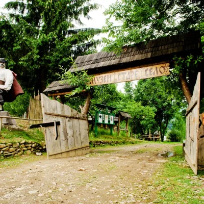 HotelComplex "Stare Selo" MykulychynKolochava6.9 km from Mount StrymbaParkingTransferNearby: Holy Spirit Church 200 mMt Strymba 6.9 km10 trails
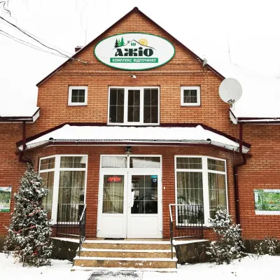 HotelRecreation Complex "Azhio" Mykulychyn VillageKolochava7.9 km from Mount StrymbaSaunaKitchenTransferNearby: Holy Spirit Church 1.2 kmMt Negrovets 7.8 km9 trails
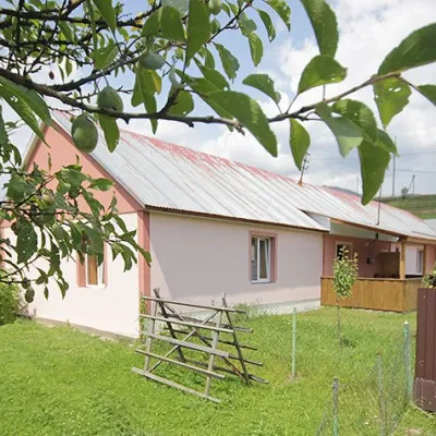 CottageCottage "Yalivets" KolochavaKolochava8.1 km from Mount StrymbaHot tubBBQKitchenNearby: Holy Spirit Church 1.7 kmMt Negrovets 7.3 km9 trails
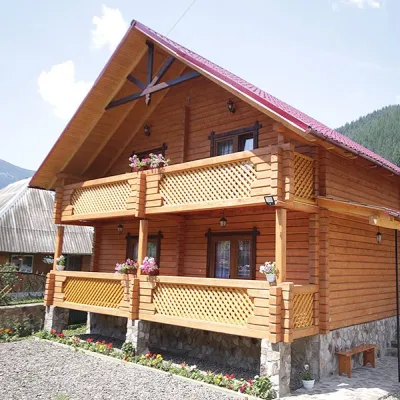 CottageCottage "Orchidea"Synevyrska Polyana18 km from Mount StrymbaSaunaBBQParkingNearby: Kamyanka Mountain 4.1 kmSynevyr Pass 7.1 km6 trails
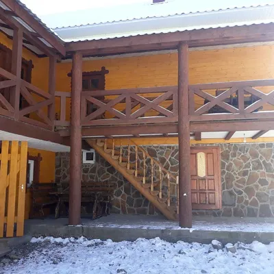 HomesteadHomestead "BILYA SYNEVYRU" Synevyrska PolyanaSynevyrska Polyana18 km from Mount StrymbaSaunaBBQKitchenNearby: Kamyanka Mountain 3.2 kmSynevyr Pass 6.3 km2 trails
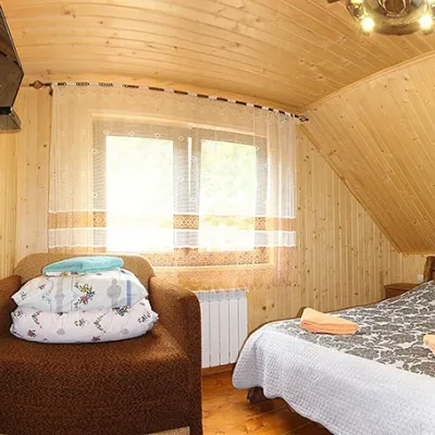 HomesteadHomestead "By the River" Synevyrska PolyanaSynevyrska Polyana18 km from Mount StrymbaSaunaBBQKitchenNearby: Kamyanka Mountain 3.2 kmSynevyr Pass 6.2 km3 trails
Trails via Mount Strymba
All 4 ModerateTwo-dayUnmarkedKolochava village loopvia Mount StrymbaElevation profile637–1 703 m16.2 kmascent 1 145 m≈ 6.5 h walking
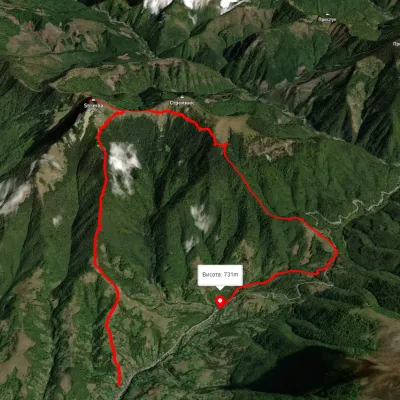 ModerateOne-dayUnmarkedKolochava village loopvia Mount Strymba, Pryslip PassElevation profile673–1 751 m13.6 kmascent 1 130 m≈ 5.5 h walking
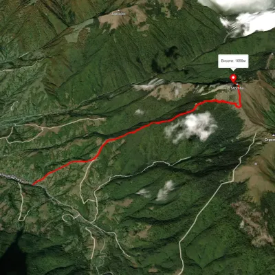 ModerateOne-dayMarkedTo Mount StrymbaElevation profile634–1 700 m5.5 kmascent 1 092 m≈ 3.5 h walking
Nearby attractions
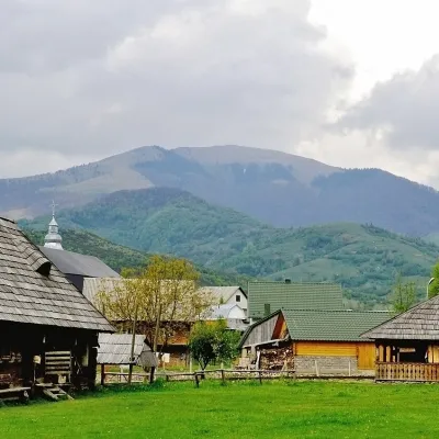 PeakMount DarvaikaKolochavaaltitude 1 502 m · Gorgany range4.5 km from Mount StrymbaDarvaika is a mountain of the Inner Gorgany, in the south-eastern part of the Pyshkonia ridge. It lies in the Mizhhiria district of Zakarpattia Oblast, north-east of...
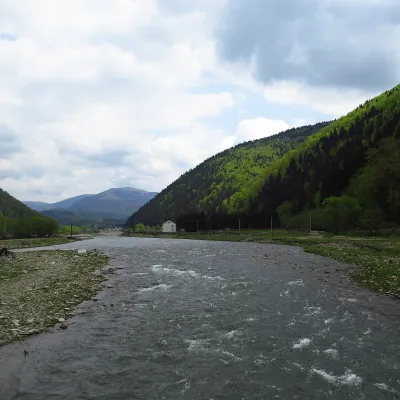 RiverTereblia RiverKolochava5.2 km from Mount StrymbaThe Tereblia begins in the Inner Gorgany, where the Roztoka and Sloboda streams meet, and flows through Synevyrska Poliana, Synevyr, Nehrovets, Kolochava, Mereshor,...
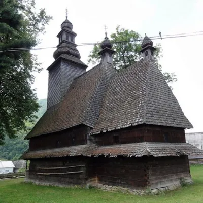 ChurchHoly Spirit Church, KolochavaKolochava6.9 km from Mount StrymbaTheChurch of the Holy Spirit is a wooden church-museum located on a hill near the main road among the spruce trees in the village of Kolochava, Mizhhiria district,...