Mount Tempa
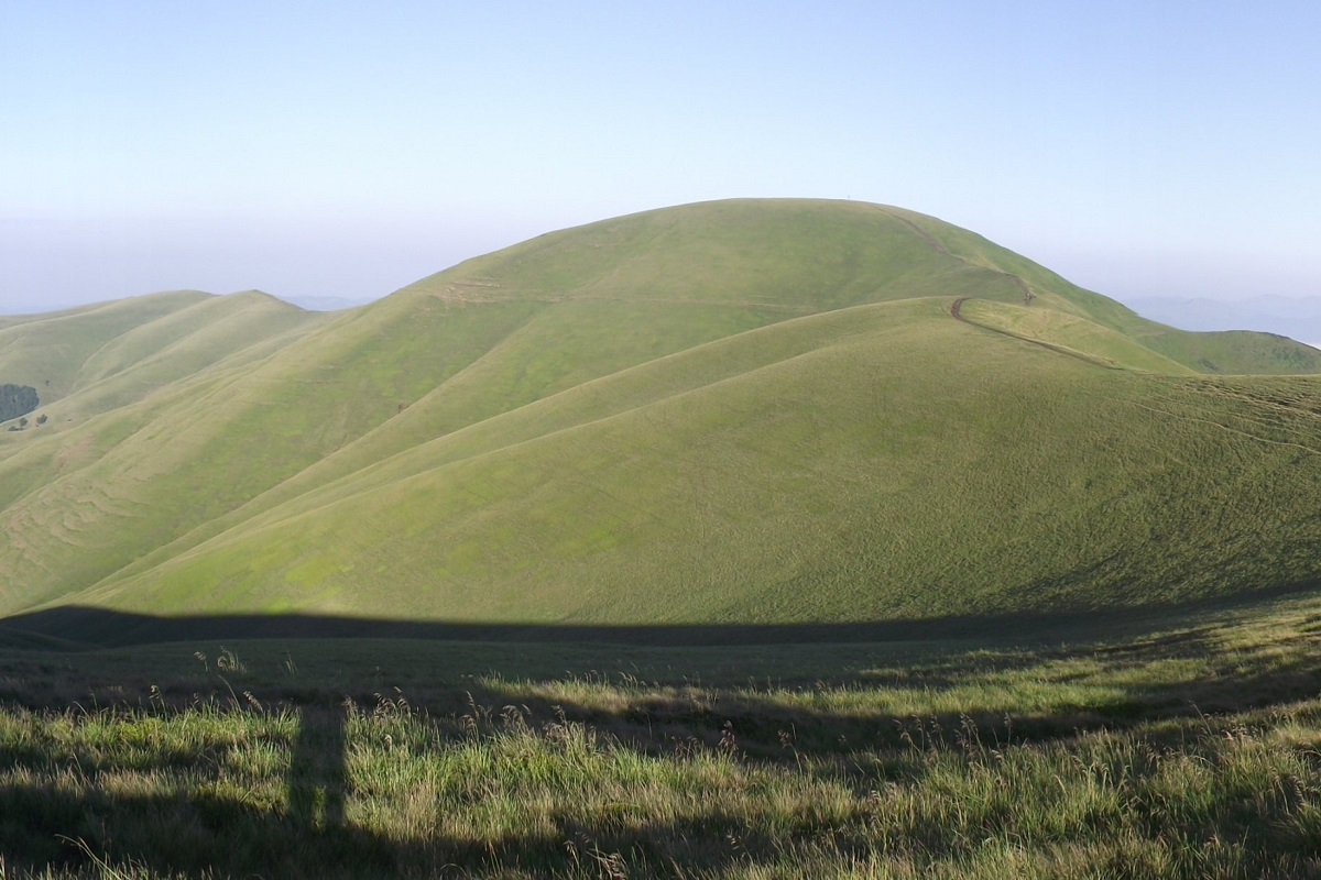
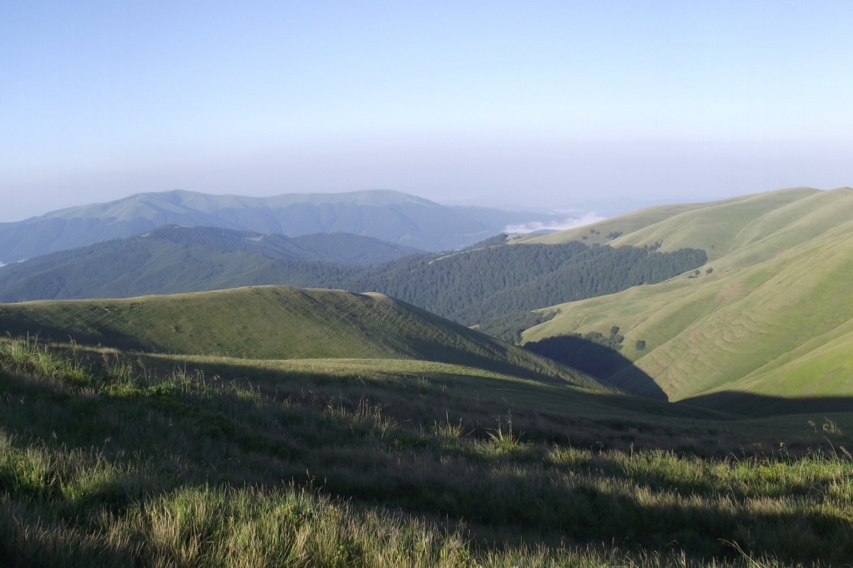
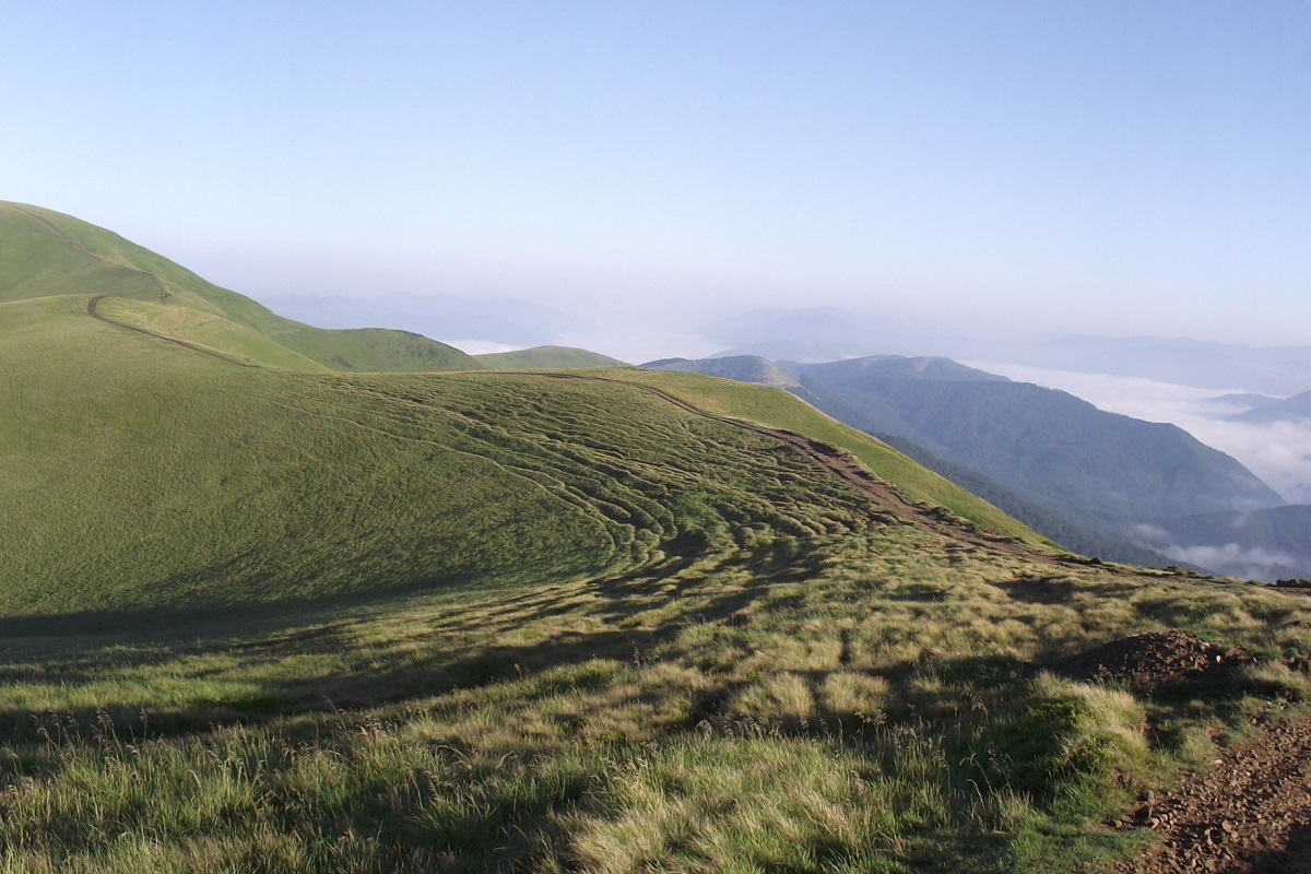
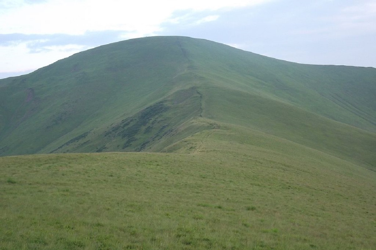
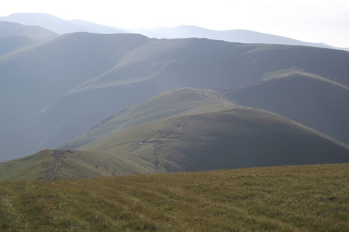
Tempa is a 1,634-meter peak in the western part of the Svydovets mountain range of the majestic Ukrainian Carpathians, located in the Tyachiv district of Zakarpattia region.
The slopes of the mountain are rather gentle; up to 1350-1400 meters they are covered with centuries-old coniferous and beech forests, above this mark - with meadows with abundant blueberry thickets.
To the east of Tempa is Mount Velyka Kurtyaska, and to the northwest are Mounts Stogi, Pid Stogami, and Shpanska. To the southwest, the Shanta Ridge is adjacent to the peak, and to the northeast, the Bedevlyaska Ridge.
It is worth noting that the popular route "By the Peaks of Svydovets" passes through the top of Mount Tempa, which leads from the village of Ust-Chorna to the village of Yasinia (or in the opposite direction).
The nearest settlements are the village of Ust-Chorna and the village of Krasna in the Tyachiv district of Zakarpattia region.
Location on the map
Water and shelter nearby
- Spring below Mount Tempa (4)370 m · Not verified · 1 512 m
- Spring below Mount Tempa (3)710 m · Not verified · 1 329 m
- Forester's hut “Shpanska”1.3 km · Standing · 1 250 m
- Forester's hut “Bedevelska”1.4 km · Standing · 1 293 m
- Spring below Mount Tempa1.8 km · Not verified · 1 427 m
- Spring below Mount Shpanska (2)2 km · Not verified · 1 286 m
- Spring below Mount Shpanska2.1 km · Not verified · 1 306 m
- Spring below Mount Tempa (2)2.2 km · Not verified · 1 334 m
- Spring below Mount Velyka Kurtiaska2.5 km · Not verified · 1 539 m
- Spring (Krasna, 9)2.6 km · Not verified · 1 253 m
- Hut (Krasna, 2)2.7 km · Not verified · 1 229 m
- Hut at Plaiske2.8 km · Not verified · 1 285 m
- Forester's hut “Shpanchyk”2.9 km · Standing · 848 m
Comments
Places to stay nearby
All stays HotelHomestead "Malva"Drahobrat14 km from Mount TempaTransferNearby: Mt Stih 900 mMt Bliznytsia 2.6 km9 trails
 HotelHotel "U Stozi" (Dragobrat - Yasinya)Yasinya15 km from Mount TempaBBQParkingWi‑FiNearby: Mt Stih 1.2 kmMt Bliznytsia 2.9 km9 trails
 HotelHotel "Kazka Karpat" DragobratYasinya15 km from Mount TempaTransferNearby: Mt Stih 1.3 kmMt Bliznytsia 2.9 km9 trails
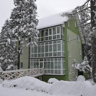 HotelHotel "Zelena Dacha" DragobratYasinya15 km from Mount TempaPoolSaunaBBQNearby: Mt Stih 1.5 kmMt Bliznytsia 3.2 km9 trails
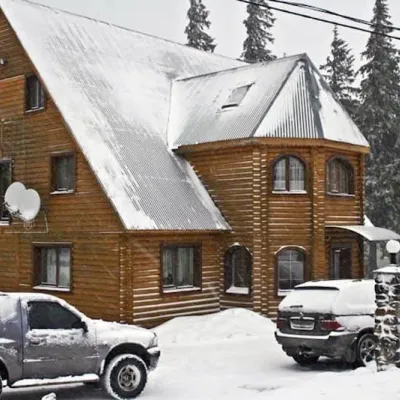 HotelHotel "Velyka Vedmedytsia" DragobratDrahobrat15 km from Mount TempaSaunaKitchenParkingNearby: Mt Stih 1.5 kmMt Bliznytsia 3.1 km9 trails
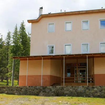 HotelSports and Tourism Complex "Oaza" DragobratDrahobrat15 km from Mount TempaPoolSaunaBreakfastNearby: Mt Stih 1.7 kmMt Bliznytsia 2.4 km9 trails
Trails via Mount Tempa
All 11 HardMulti-dayMarkedTranscarpathian Tourist TrailElevation profile198–2 031 m393.2 kmascent 30 283 m
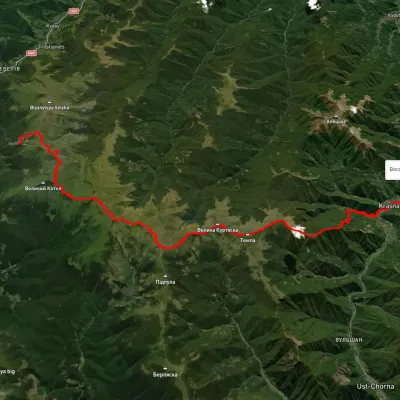 HardMulti-dayUnmarkedDragobrat to Krasna villagevia Mount Stih, Mount Velykyi Kotel +2Elevation profile422–1 751 m35.3 kmascent 1 166 m≈ 11 h walking
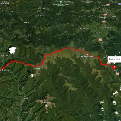 HardMulti-dayUnmarkedUst-Chorna village to Kvasy villagevia Mount Tempa, Mount Mala Kurtiaska +2Elevation profile511–1 876 m51.2 kmascent 2 670 m
Nearby attractions
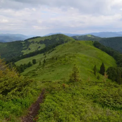 PeakMount ShpanskaUst-Chornaaltitude 1 458 munder 1 km from Mount Tempa10 trails to the topThe top of Mount Shpanska (1458 meters above sea level) is located northwest of Mount Tempa within the Tyachiv district of Zakarpattia region.
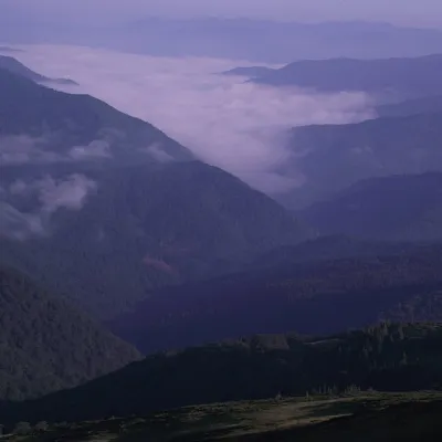 PeakMount Velyka Kurtyaska (Svydovets)Ust-Chornaaltitude 1 621 m1.7 km from Mount Tempa11 trails to the topVelyka Kurtyaska is a mountain in the Svydovets massif (Ukrainian Carpathians). It is located in the northeastern part of Tyachiv district, Zakarpattia region,...
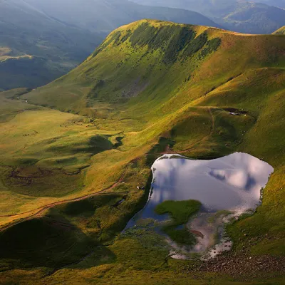 LakeLake Gereshaska (Dogyaska)Yasinya9.1 km from Mount TempaGerashaska (another name - Dogyaska ) is a high-mountain lake in the Ukrainian Carpathians, within the Rakhiv district of Zakarpattia region.