Hoverla village – Mount Brebeneskul
10.5 kmLength
35 mAscent
115 mDescent
851 mMax. altitude
771 mMin. altitude
Trail map
Where to stay nearby
Near the start · Vorokhta
Weather and adviceLoading the forecast…
About the trail
Route Hoverla village – Mount Brebeneskul. Has yellow marking (short routes, connecting paths, shortcuts).
At a glance
A short route of 1.4 km with 35 m of ascent from Hoverla village to Mount Brebeneskul. Estimated walking time: about 0.5 h, not counting stops. Difficulty: easy. Waymarking: yellow.
Water and overnight stays
A spring near the trail: at km 1.5.
When to go
The route can be walked most of the year; it is most comfortable from April to October.
Getting there
Start: Hoverla village.
FAQ
- How long does the route take?
- Estimated walking time: about 0.5 h, not counting stops.
- Is there water on the route?
- A spring near the trail: at km 1.5.
Water and shelter on the route
- Spring (Luhy, 5)km 1.4 from the start · 100 m off the path · Not verified · 768 m
Comments
Trails nearby
All trails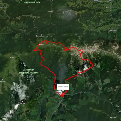 HardMulti-dayUnmarkedLuhy village loopvia Mount Hutyn Tomnatyk, Lake Brebeneskul +2Elevation profile650–2 039 m45.4 kmascent 3 607 m
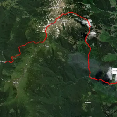 HardMulti-dayUnmarkedZaroslyak base to Luhy villagevia Lake Nesamovyte, Mount Rebra +1Elevation profile683–1 966 m27.7 kmascent 755 m≈ 8.5 h walking
 HardMulti-dayUnmarkedLazeshchyna village to Hoverla villagevia Mount Petros, Mount HoverlaElevation profile719–2 033 m44.6 kmascent 2 019 m