Sloboda-Dolynska
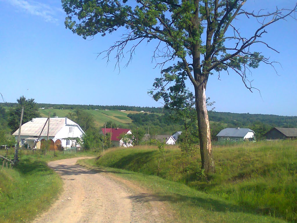
Sloboda-Dolynska is a village in the Dolyna district of Ivano-Frankivsk region. On the map of Arnold Friedrich von Mieg of 1779-1783 the village is called "Sloboda Lisova".
In 1939, the village was home to 870 inhabitants (830 Greek Catholics, 10 Roman Catholics, and 30 Jews).
The village is located among the forest, except for the northern part in the Turyanska valley. The Turyanka river flows through the village. To the north-east of the village there is a protected tract "Pidlis". On the east side of the village, the Syvka River originates.


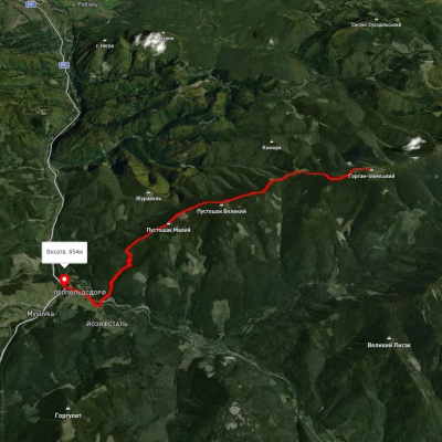
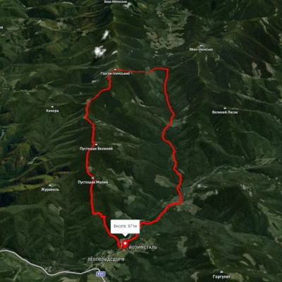
Which hiking trails pass through or near Sloboda-Dolynska?
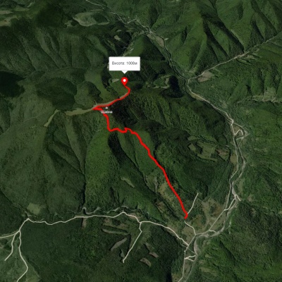
We suggest these hiking trails through or near Sloboda-Dolynska: Route to Mount Shchavna, To Mount Horhan Ilemskyi, Myslivka village – Mount Horhan-Ilemskyi – Myslivka village, Myslivka village, via the Arshytsia ridge, Mount Moloda and Mount Yayko-Ilemske to Myslivka village, Myslivka village, via Mount Velykyi Pustushak, Nimetska polonyna and Mount Horhan Ilemskyi to Osmoloda village, Tatariv village, via Mount Syniak, Mount Dovbushanka, Mount Chorna Kleva, Mount Bratkivska, Mount Syvulia, Mount Kinets Horhanu, Mount Popadia and Mount Grofa to Myslivka village