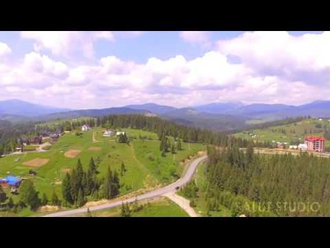
Yablunytsia
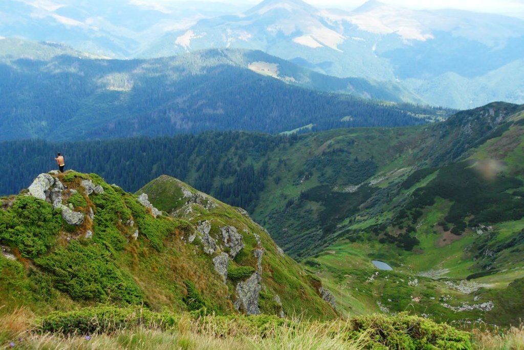
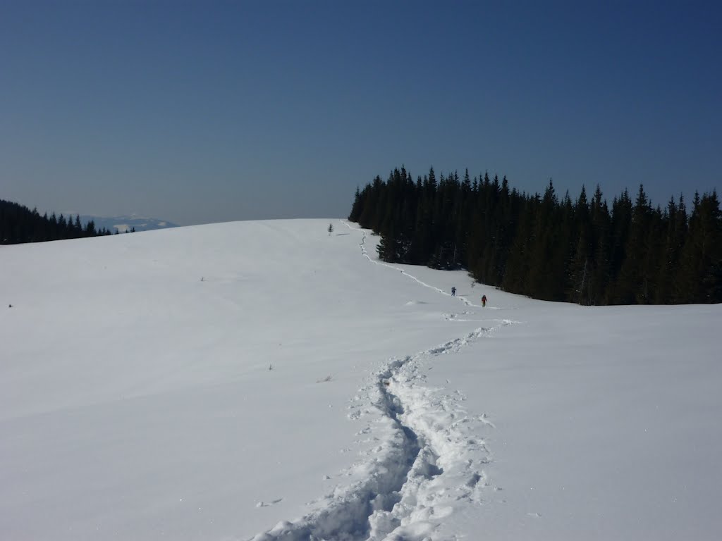
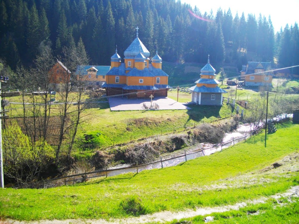
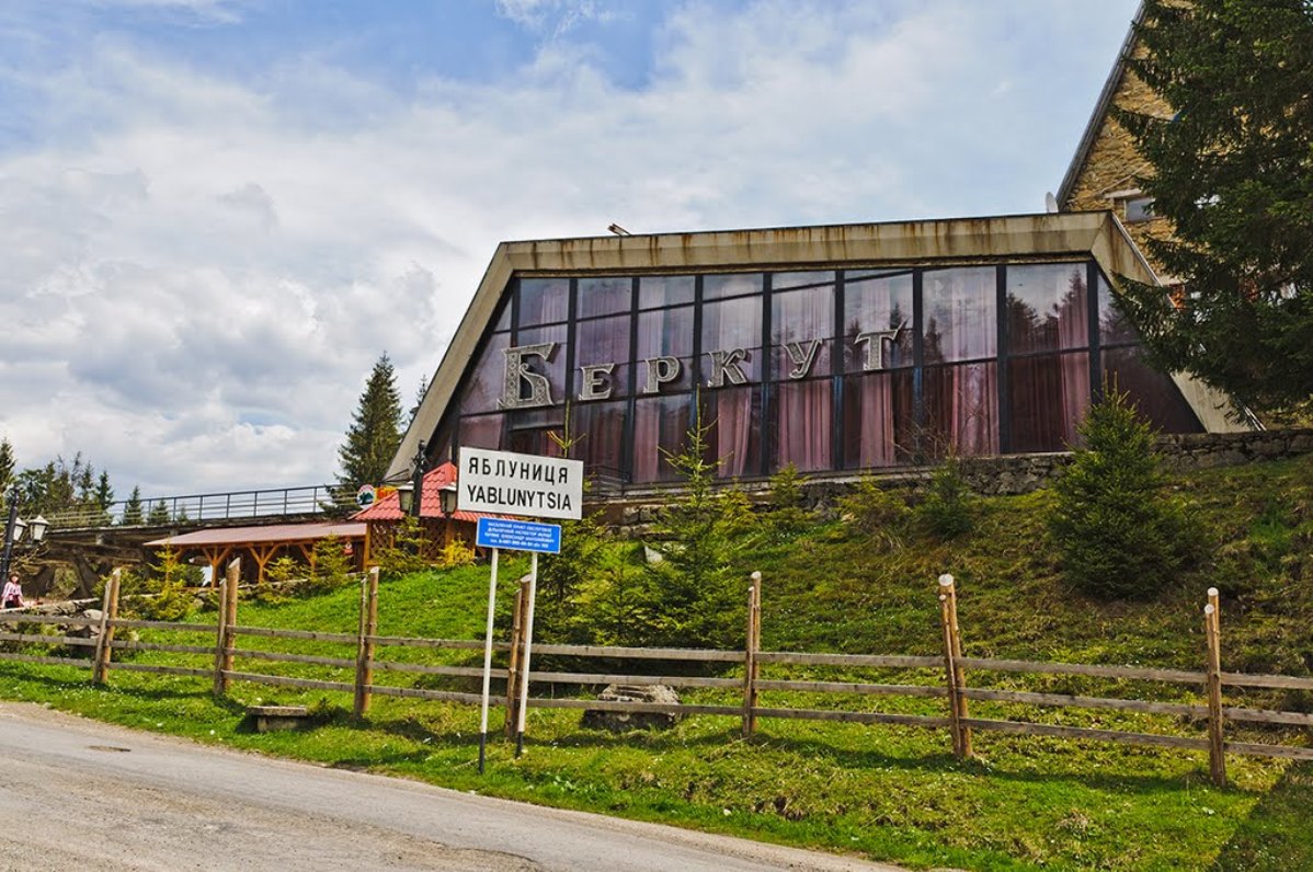
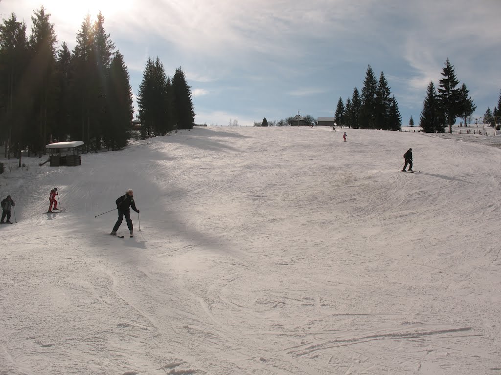
Yablunytsia, a small Carpathian village of just over 2,000 people, is overrun by tourists in winter: Yablunytsia is a ski resort that is within easy reach of Bukovel. It is located 35 km from the city of Yaremche.
Yablunytsia is known among winter tourism enthusiasts for its large number of slopes for winter skiing. There are trails of varying difficulty and ski equipment rental shops. The village offers wonderful views of the Chornohora ridge: Hoverla (2061 m), Petros (2020 m); Gorgany: Sinyak, Hamster, Dovbushanka (1754 m); Svydovets ridge: Stig (1703 m), Bliznytsi (1883 m).
Yablunytsia Pass is the highest in the Ukrainian Carpathians - 931 meters above sea level. You can often hear that this pass is called the "Tatar" pass, because in the 13th century the Mongol-Tatar horde was going to Europe by this way. There are observation decks on the pass, which offer a beautiful and breathtaking view of the Hoverla, Petros and Svydovets mountains. However, Yablunytsia Pass is known not only for its views. A souvenir market is open all year round. Here you can not only buy traditional Hutsul items, such as woolen socks, embroidered shirts or kotsy, but also eat plenty of Carpathian dishes.
In Yablunytsia, there are 6 ski slopes with a total length of about 4 kilometers and a height difference of 280 meters.
In Yablunytsia, people mostly ski from three peaks: Mt. Mykulynka, Mt. Koza and Mt. Dil. Their height is just over 1,000 meters.
What to visit
Landmarks, museums and places of interest near Yablunytsia.
 SightYablunytskyi pass, YablunytsiaYablunytsia1.5 km from the centreYablunytskyi Pass is a transportation artery that connects Ivano-Frankivsk and Zakarpattia regions. There are observation decks on the pass that offer a beautiful and...
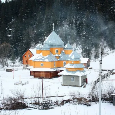 ChurchChurch of St. Basil the Great, YablunytsiaYablunytsia1.9 km from the centreBasil the Great is a functioning church of the Yaremche Deanery of the Kolomyia Eparchy of the Ukrainian Orthodox Church-Kyivan Patriarchate in the village of...
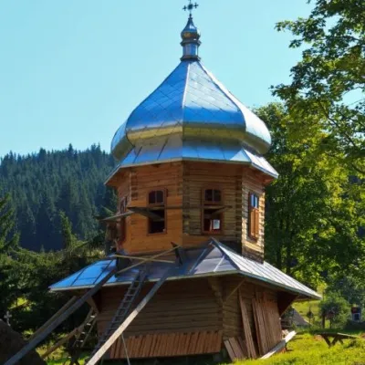 ChurchChurch of the Dormition of the Mother of God, YablunitsaYablunytsia3.1 km from the centreTheChurch of the Assumption of the Blessed Virgin Mary is a local landmark and is the least popular among the wooden churches in Yaremche City Council.
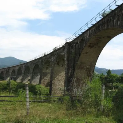 ArchitectureAustrian viaduct bridge, VorokhtaVorokhta6.4 km from the centreThe Austrian Viaduct Bridge in Vorokhta is an engineering marvel that connects the two banks of the Prut River.
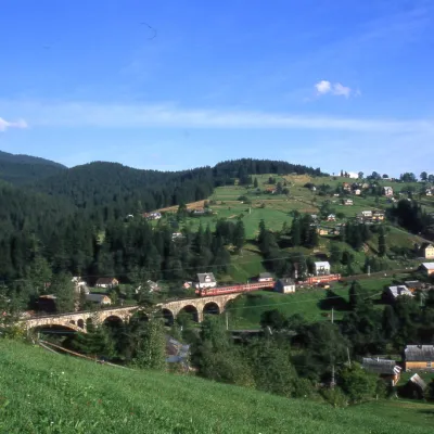 MuseumMuseum of History and Local Lore, VorokhtaVorokhta6.9 km from the centreThe museum was inaugurated on January 21, 2007. The museum reveals the processes of the settlement's emergence, the Oprishka movement in the Vorokhta neighborhood, and...
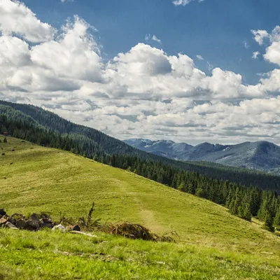 Mountain meadowPolonyna KhomyakovTatarivaltitude 1 525 m8 km from the centreYou can climb here from the Guk waterfall even in a short winter day, spend the night, and in the morning go to the tops of the Khomyak or Sinyak mountains (depending...
Where to stay
Hotels, guesthouses and cottages in and around Yablunytsia.
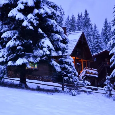 HotelHotel "Jazz Xata" in MykulychynYablunytsiaunder 1 km from the centreSaunaFireplaceTransferNearby: Church of St. Basil the Great 2.3 kmMt Khomiak 7.3 km10 trails
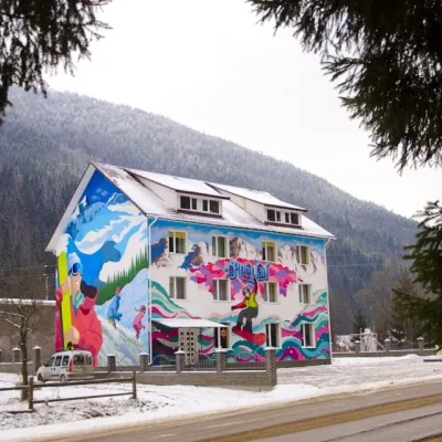 HotelHostel "Free Way" MykulychynYablunytsia1.8 km from the centreSaunaBBQParkingNearby: Church of St. Basil the Great 200 mMt Khomiak 5.7 km23 trails
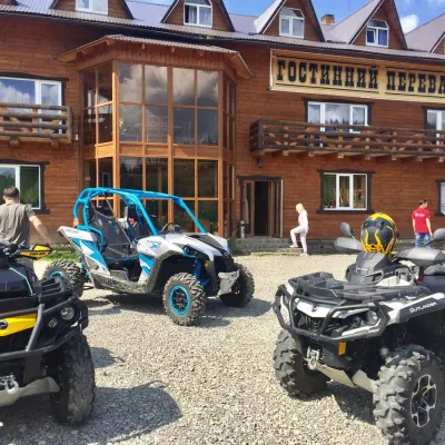 HotelHotel "Hostynnyy Pereval" MykulychynYablunytsia1.8 km from the centreSaunaBBQParkingNearby: Church of St. Basil the Great 3.5 kmMt Khomiak 7.9 km17 trails
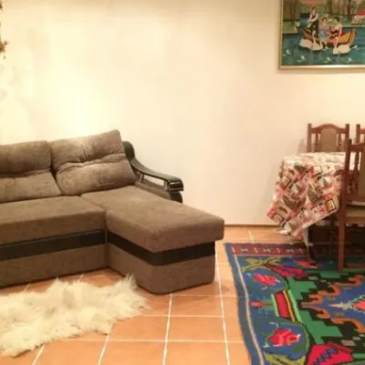 HotelHomestead "Karpatska Hatynka"Yablunytsia2 km from the centreKitchenNearby: Church of St. Basil the Great 3.6 kmMt Khomiak 7.9 km16 trails
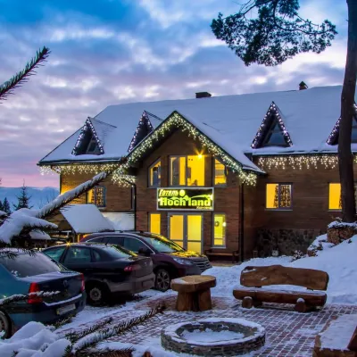 HotelHotel "Hoch Land" MykulychynYablunytsia2 km from the centreTransferNearby: Church of St. Basil the Great 3.6 kmMt Khomiak 8.0 km16 trails
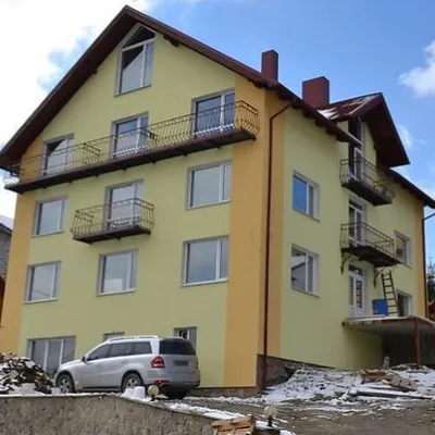 HotelHotel "Toha" MykulychynYablunytsia2 km from the centreSaunaBBQParkingNearby: Church of St. Basil the Great 3.6 kmMt Khomiak 7.8 km16 trails
Trails nearby
All trails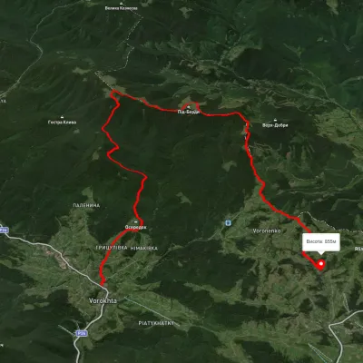 HardMulti-dayUnmarkedVorokhta to Yablunytsia villagevia Mount KukulElevation profile694–1 433 m24.6 kmascent 1 045 m≈ 8 h walking1 km from the centre
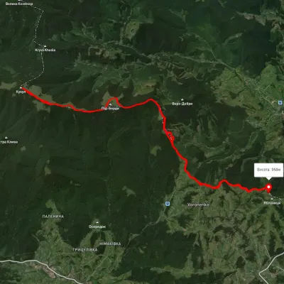 HardMulti-dayUnmarkedVoronenko village loopvia Mount KukulElevation profile920–1 574 m29.5 kmascent 1 248 m≈ 10 h walking1.4 km from the centre
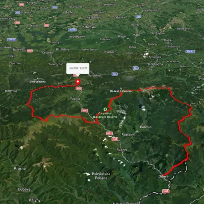 HardMulti-dayUnmarkedDilove village to Yablunytsia villagevia Mount Pip Ivan Marmaroskyi, Mount Hoverla +4Elevation profile362–2 013 m156.7 kmascent 9 253 m1.9 km from the centre
Peaks nearby
All peaks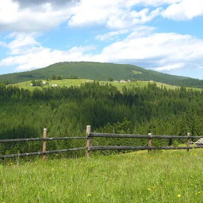 PeakMount Magura, TatarivTatarivaltitude 1 288 m · Gorgany range6 km from the centreMagura is a mountain in the Ukrainian Carpathians, in the Gorgany massif. It is located within the Yaremche City Council of Ivano-Frankivsk Oblast, between the...
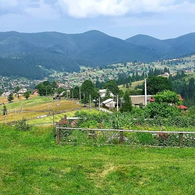 PeakMount OseredokVorokhtaaltitude 915 m · Chornohora range6.6 km from the centreOseredok is a modest 915 m summit right above Vorokhta (about 2 km), north of the Chornohora range, in Ivano-Frankivsk Oblast.
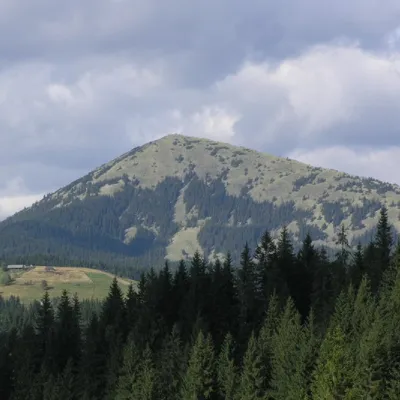 PeakMount KhomiakTatarivaltitude 1 542 m · Gorgany range7.2 km from the centre40 trails to the topKhomyak is a 1542-meter-high peak of the Gorgan mountain range. Rumor has it that the mountain was named so because its shape resembles the back of a hamster.
What's nearby
Video