Uzh River
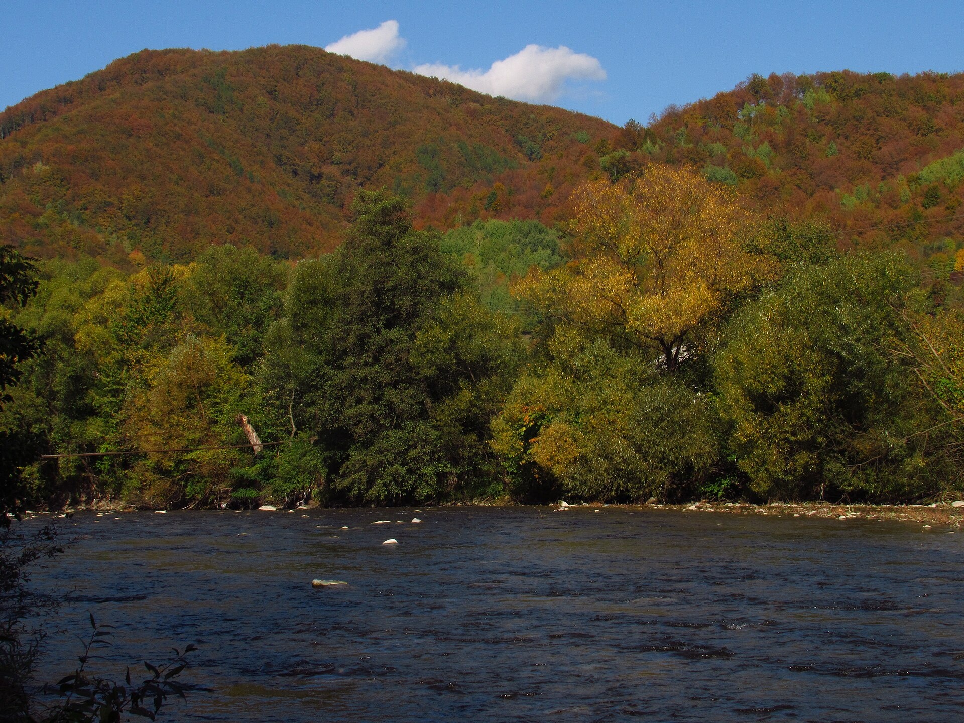
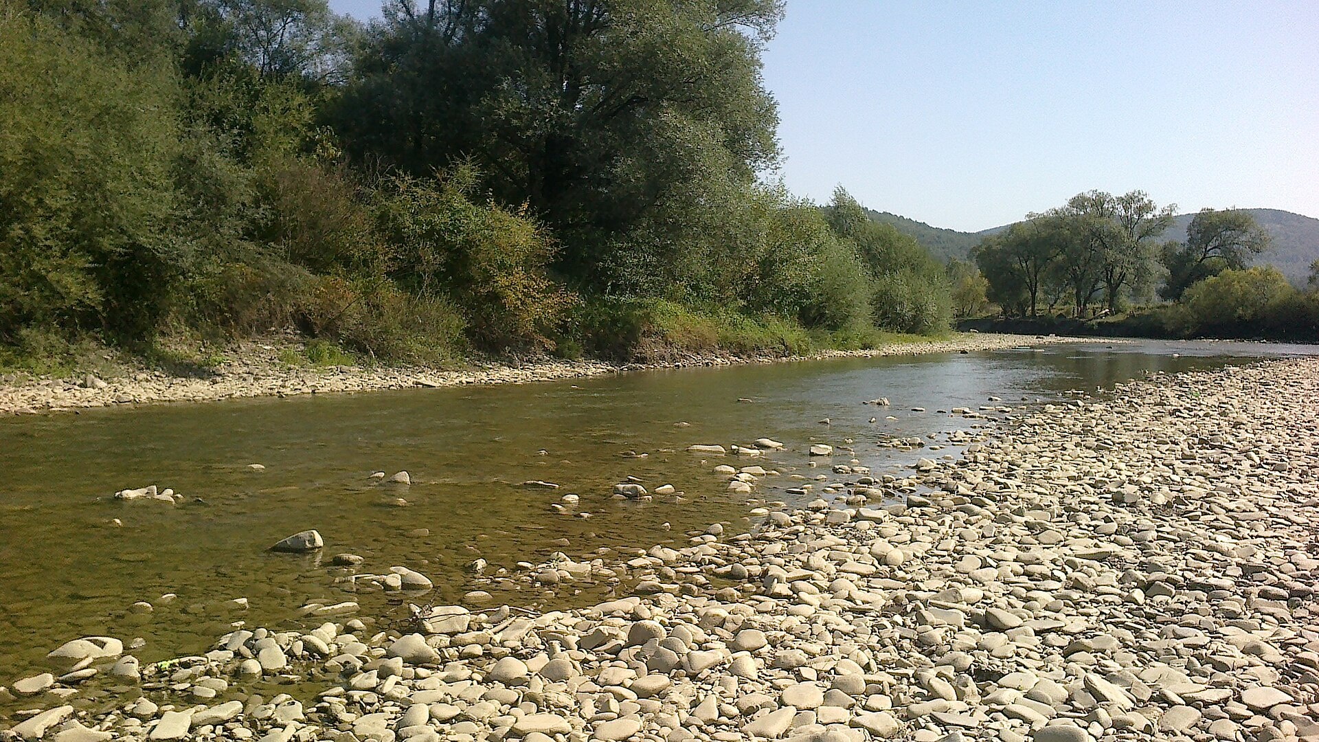
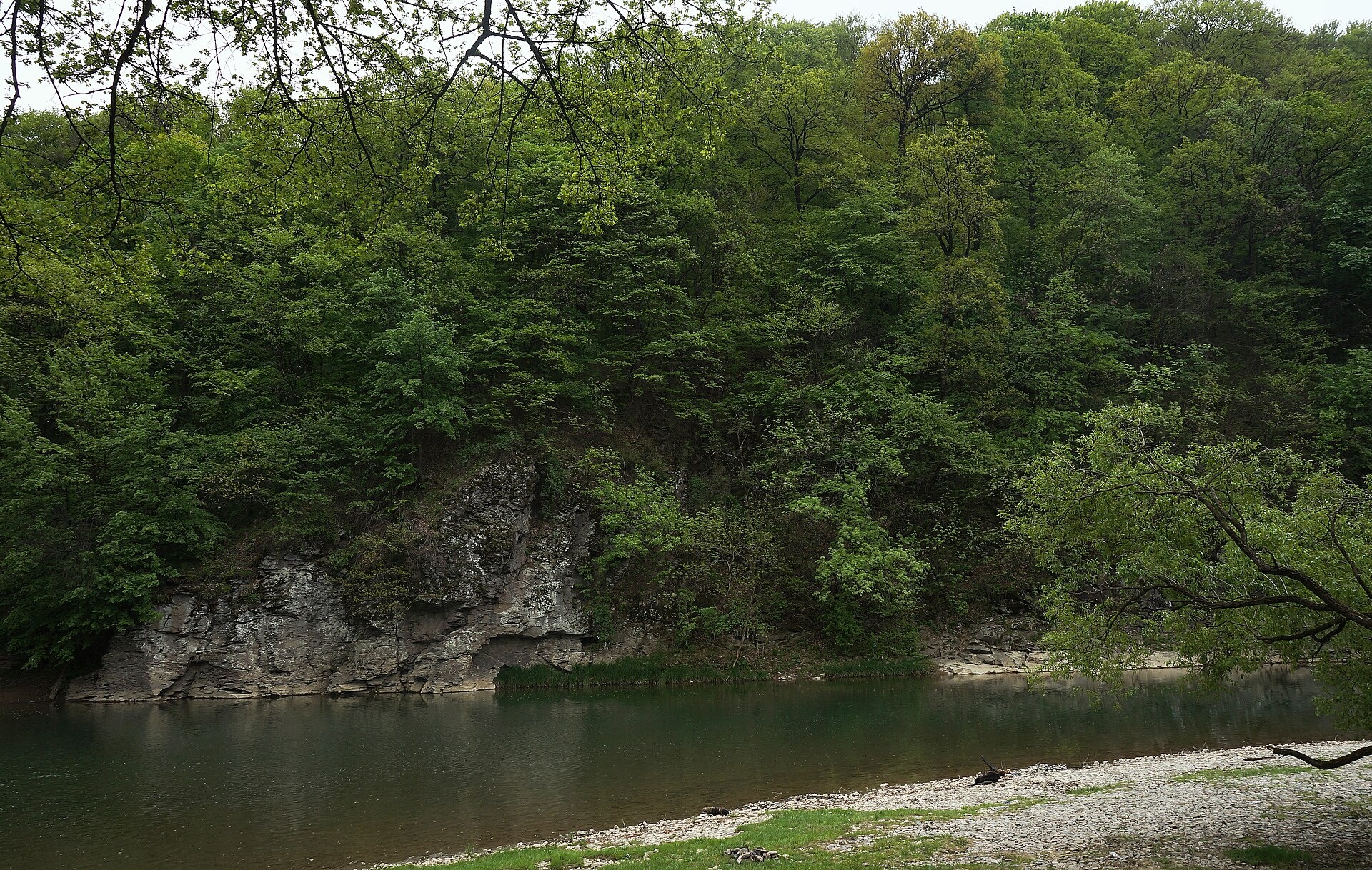
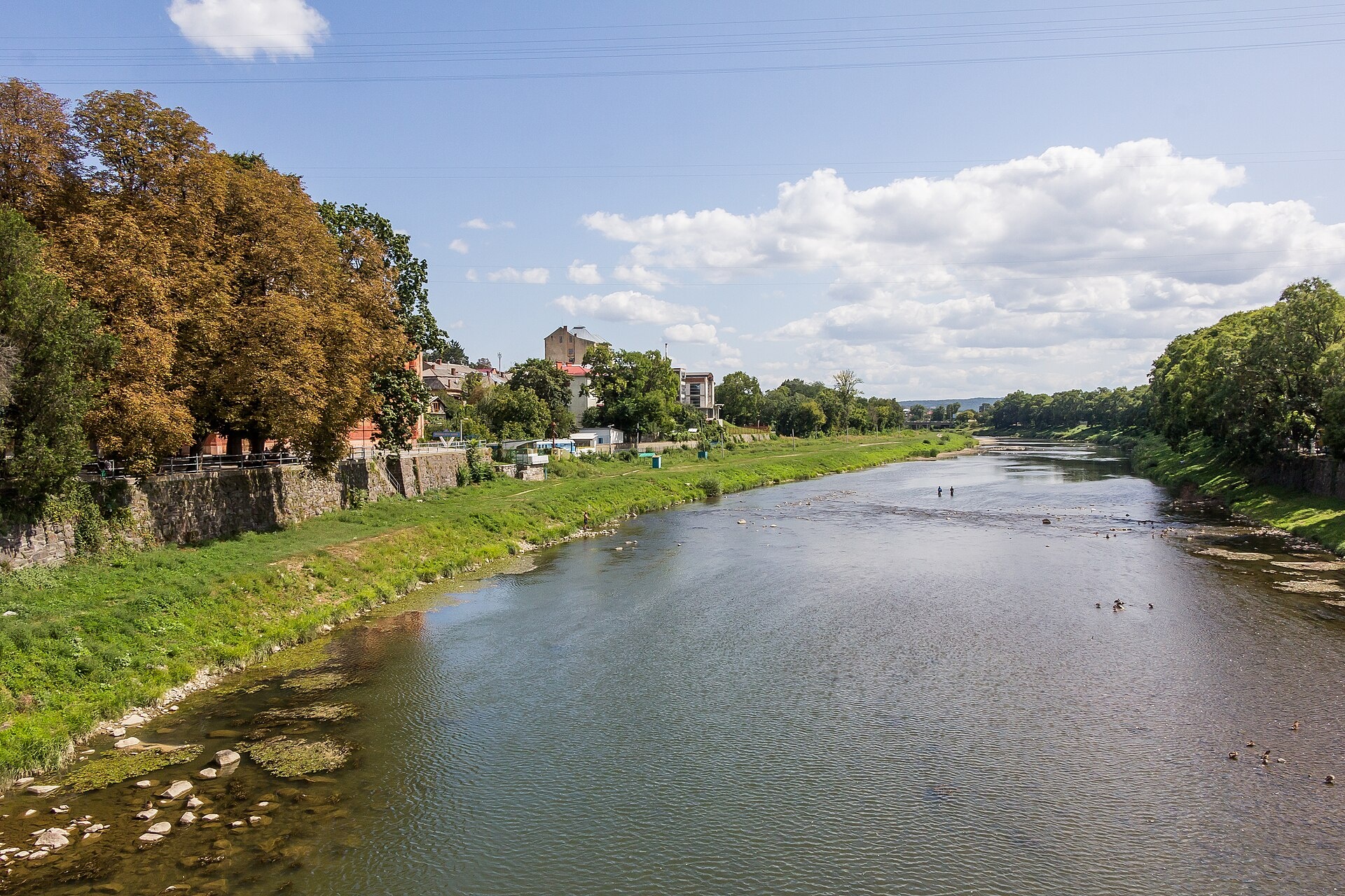
The Uzh begins near the Uzhok Pass, where the Uzh and Uzhok streams meet at about 970 m, and flows south-west through Uzhok, Stuzhytsia, Velykyi Bereznyi, Perechyn and Kamianytsia to Uzhhorod; beyond the city it crosses the border and joins the Laborec in Slovakia. Its upper reaches run through the forests of the Uzhanskyi National Park, and in Perechyn the Turia flows in.
- Length: 133 km, 107 km of it in Ukraine
- Basin area: 2,750 km² (1,950 km² in Ukraine)
- Source: near the Uzhok Pass
- Mouth: the Laborec (Slovakia)
Above the Uzh near Kamianytsia stand the ruins of Nevytsky Castle, and in Uzhhorod the Masaryk Bridge offers a good view of the river. The Uzhanskyi park has the upper tree line on Stuzhytsia, Mount Kniahynia with the site of the 1866 meteorite fall, and wooden churches.
Ichthyologist F. Kurtyak counted 55 species of lampreys and fish in the Uzh basin. Anglers catch trout in the headwaters and tributaries, and chub, pike, asp, perch and wels catfish further down. Seventeen species of the basin are in the Red Book, among them grayling, barbel and nase. The spawning ban runs from 25 March to 15 May, and trout are closed from 10 October to 1 March. Details are in the fishing section. All the region’s waters are on the Fishing in the Carpathians page.
Photos: Константинъ, CC BY-SA 4.0; Sergento, CC BY-SA 3.0; ЯдвигаВереск, CC BY-SA 4.0; Raimond Spekking, CC BY-SA 4.0 — Wikimedia Commons.
Location on the map
Fishing on the Uzh
The upper Uzh in the Uzhanskyi park is trout water, while below Perechyn and near Uzhhorod anglers catch chub, pike, asp and perch. The basin holds 55 species of fish and lampreys.
Can I fish now?
- Brown trout — closed until 1 MarchTrout spawning: closed from 10 October to 1 March in the Zakarpattia, Ivano-Frankivsk, Lviv and Chernivtsi regions.Each illegally caught fish costs UAH 7,225 in damages on top of the fine.
- Other species — allowed within the daily limitKeep to the minimum sizes and the daily limit; release protected species.
Limits and rules
During the 2026 spawning ban the patrol allowed fishing from the bank near Kamianytsia, on the way out of Uzhhorod towards Orikhovytsia and within Uzhhorod. Below Uzhhorod the Uzh crosses the border with Slovakia — the border strip applies there, entry only with the border guards’ permission.
Uzhanskyi National Nature Park
The upper Uzh lies in the Uzhanskyi National Park (39,159 ha, since 1999), part of the East Carpathians Biosphere Reserve. Fishing is banned in the park’s strictly protected zone, and in the regulated recreation zone it is only possible on designated stretches. The park does not publish a list of them — check with the administration (Velykyi Bereznyi) before fishing. In autumn the upper Uzh in the park and around Velykyi Bereznyi is a priority trout protection zone.
What to catch
 Brown troutmountain stretch and tributaries · closed from 10 October to 1 Marchclosed until 1 March
 Chuballowed
 Pikelowland Uzh · closed from 15 February to 31 Marchallowed
 Asplowland Uzhallowed
 Perchallowed
 Wels catfishallowed
The Uzh basin also has zander, carp, bream, roach, vimba and introduced rainbow trout. Of its 55 species, 17 are in the Red Book — among them the zingel and streber, Carpathian lamprey, and the Danube and Dniester gudgeons. Danube salmon were first released into the Uzh in 2025.
 Grayling
 Danube salmon (huchen)
 Barbel
 Nase
Nase Common dace
 Ide
Ide Burbot
Red Book of Ukraine species: if one bites, unhook it carefully and release it. Taking one means a fine and compensation for damages.
Stocking 2025
11,400 young fish released into the river under the state stocking programme
- Danube salmon (huchen) Red Book6,400
- Grayling Red Book5,000
Bite forecast near Velykyi Bereznyi
- TomorrowgoodHigh pressure, light wind, partly cloudy1028 hPa · wind up to 9 km/h · 1…11 °C
- Thursday, 15 OctobergoodHigh pressure, light wind, partly cloudy1026 hPa · wind up to 14 km/h · 5…11 °C
- Friday, 16 OctobergoodHigh pressure, light wind, partly cloudy1026 hPa · wind up to 13 km/h · 6…12 °C
For species open now: chub, pike, asp, perch, wels catfish. Brown trout closed. Based on pressure, wind, temperature and cloud — an estimate, not a guarantee.
Fishing spots 111
Places where you can drive up to the water: fish markers on the page map and the list below. Look at the satellite view before you go — the bank may be steep or overgrown.
Closed right now: brown trout — until 1 March.
- Dirt-road access, Uzhok (2.4 km)About 90 m to the water from a dirt road. Nearest village: Uzhok, 2.4 km.National park — fishing only in designated sections, check with the park
- Stream mouth, Uzhok (1.6 km)The road comes almost to the water. Nearest village: Uzhok, 1.6 km.National park — fishing only in designated sections, check with the park
- Stream mouth, UzhokThe road comes almost to the water. A bridge is right here. Nearest village: Uzhok, 720 m.National park — fishing only in designated sections, check with the park
- By the bridge, UzhokThe road comes almost to the water. Bridge 70 m away. Village: Uzhok.National park — fishing only in designated sections, check with the park
- By the main road, UzhokAbout 100 m to the water from the main road. Nearest village: Uzhok, 920 m.National park — fishing only in designated sections, check with the park
- By the bridge, Volosianka (1.8 km)The road comes almost to the water. A bridge is right here. Nearest village: Volosianka, 1.8 km.National park — fishing only in designated sections, check with the park
- By the main road, VolosiankaAbout 30 m to the water from the main road. Nearest village: Volosianka, 1.1 km.National park — fishing only in designated sections, check with the park
- By the bridge, VolosiankaThe road comes almost to the water. A bridge is right here. Village: Volosianka.National park — fishing only in designated sections, check with the park
Show all spots (111)
- Access road to the water, VolosiankaAbout 70 m to the water from an access road. Village: Volosianka.National park — fishing only in designated sections, check with the park
- Stream mouth, Volosianka (1.5 km)About 60 m to the water from the road. Bridge 90 m away. Nearest village: Volosianka, 1.5 km.National park — fishing only in designated sections, check with the park
- Stream mouth, LuhAbout 100 m to the water from an access road. Nearest village: Luh, 1.3 km.National park — fishing only in designated sections, check with the park
- Dirt-road access, LuhThe road comes almost to the water. Village: Luh.National park — fishing only in designated sections, check with the park
- Stream mouth, LuhAbout 30 m to the water from a dirt road. Village: Luh.National park — fishing only in designated sections, check with the park
- Stream mouth, LuhAbout 80 m to the water from a dirt road. Nearest village: Luh, 1.3 km.National park — fishing only in designated sections, check with the park
- By the main road, Luh (2.3 km)About 130 m to the water from the main road. Nearest village: Luh, 2.3 km.National park — fishing only in designated sections, check with the park
- By the main road, Verkhovyna-Bystra (2.8 km)About 90 m to the water from the main road. Nearest village: Verkhovyna-Bystra, 2.8 km.National park — fishing only in designated sections, check with the park
- By the main road, Stavne (2.7 km)About 30 m to the water from the main road. Nearest village: Stavne, 2.7 km.National park — fishing only in designated sections, check with the park
- By the main road, Stavne (1.8 km)About 100 m to the water from the main road. Nearest village: Stavne, 1.8 km.National park — fishing only in designated sections, check with the park
- Dirt-road access, StavneThe road comes almost to the water. Nearest village: Stavne, 900 m.National park — fishing only in designated sections, check with the park
- Dirt-road access, StavneThe road comes almost to the water. Village: Stavne.National park — fishing only in designated sections, check with the park
- Dirt-road access, StavneAbout 40 m to the water from a dirt road. Nearest village: Stavne, 980 m.National park — fishing only in designated sections, check with the park
- By the bridge, Stavne (1.8 km)The road comes almost to the water. A bridge is right here. Nearest village: Stavne, 1.8 km.National park — fishing only in designated sections, check with the park
- By the main road, ZahorbAbout 120 m to the water from the main road. Nearest village: Zahorb, 1.5 km.National park — fishing only in designated sections, check with the park
- Dirt-road access, ZahorbAbout 130 m to the water from a dirt road. Nearest village: Zahorb, 1.5 km.National park — fishing only in designated sections, check with the park
- Dirt-road access, ZhornavaAbout 50 m to the water from a dirt road. Nearest village: Zhornava, 940 m.National park — fishing only in designated sections, check with the park
- Access from a village street, ZhornavaAbout 150 m to the water from the street. Village: Zhornava.National park — fishing only in designated sections, check with the park
- By the main road, ZhornavaThe road comes almost to the water. Nearest village: Zhornava, 900 m.National park — fishing only in designated sections, check with the park
- By the main road, Zhornava (1.5 km)About 110 m to the water from the main road. Nearest village: Zhornava, 1.5 km.National park — fishing only in designated sections, check with the park
- By the main road, Zhornava (2.3 km)The road comes almost to the water. Nearest village: Zhornava, 2.3 km.National park — fishing only in designated sections, check with the park
- By the main road, Kostrynska Roztoka (2.1 km)About 30 m to the water from the main road. Nearest village: Kostrynska Roztoka, 2.1 km.National park — fishing only in designated sections, check with the park
- By the main road, Kostrynska Roztoka (1.8 km)The road comes almost to the water. Nearest village: Kostrynska Roztoka, 1.8 km.National park — fishing only in designated sections, check with the park
- Dirt-road access, KostrynaAbout 30 m to the water from a dirt road. Nearest village: Kostryna, 1.4 km.National park — fishing only in designated sections, check with the park
- Dirt-road access, KostrynaAbout 30 m to the water from a dirt road. Village: Kostryna.National park — fishing only in designated sections, check with the park
- Dirt-road access, KostrynaThe road comes almost to the water. Village: Kostryna.National park — fishing only in designated sections, check with the park
- Dirt-road access, KostrynaAbout 60 m to the water from a dirt road. Nearest village: Kostryna, 1.1 km.National park — fishing only in designated sections, check with the park
- Dirt-road access, Kostryna (1.9 km)About 40 m to the water from a dirt road. Nearest village: Kostryna, 1.9 km.National park — fishing only in designated sections, check with the park
- By the main road, DomashynAbout 140 m to the water from the main road. Nearest village: Domashyn, 1.3 km.National park — fishing only in designated sections, check with the park
- Dirt-road access, DomashynAbout 50 m to the water from a dirt road. Nearest village: Domashyn, 1.4 km.National park — fishing only in designated sections, check with the park
- Dirt-road access, SilAbout 60 m to the water from a dirt road. Nearest village: Sil, 1.4 km.National park — fishing only in designated sections, check with the park
- Dirt-road access, SilAbout 60 m to the water from a dirt road. Village: Sil.National park — fishing only in designated sections, check with the park
- By the main road, SilAbout 70 m to the water from the main road. Village: Sil.National park — fishing only in designated sections, check with the park
- By the main road, SilThe road comes almost to the water. Nearest village: Sil, 1.3 km.National park — fishing only in designated sections, check with the park
- Dirt-road access, Strychava (2.2 km)About 60 m to the water from a dirt road. Nearest village: Strychava, 2.2 km.National park — fishing only in designated sections, check with the park
- Dirt-road access, Zabrid (2.2 km)About 120 m to the water from a dirt road. Nearest village: Zabrid, 2.2 km.National park — fishing only in designated sections, check with the park
- Dirt-road access, ZabridAbout 120 m to the water from a dirt road. Nearest village: Zabrid, 800 m.National park — fishing only in designated sections, check with the park
- Access from a village street, ZabridAbout 100 m to the water from the street. Village: Zabrid.National park — fishing only in designated sections, check with the park
- Access from a village street, ZabridAbout 120 m to the water from the street. Nearest village: Zabrid, 1.4 km.National park — fishing only in designated sections, check with the park
- Dirt-road access, Velykyi Bereznyi (1.8 km)About 70 m to the water from a dirt road. Nearest village: Velykyi Bereznyi, 1.8 km.
- Access from a village street, Velykyi BereznyiAbout 70 m to the water from the street. Nearest village: Velykyi Bereznyi, 1.1 km.
- Access from a village street, Velykyi BereznyiAbout 90 m to the water from the street. Village: Velykyi Bereznyi.
- Access from a village street, Velykyi BereznyiAbout 110 m to the water from the street. Nearest village: Velykyi Bereznyi, 960 m.
- Dirt-road access, Malyi BereznyiAbout 100 m to the water from a dirt road. Nearest village: Malyi Bereznyi, 1.4 km.
- By the main road, Malyi BereznyiAbout 120 m to the water from the main road. Village: Malyi Bereznyi.
- Dirt-road access, Malyi BereznyiAbout 140 m to the water from a dirt road. Village: Malyi Bereznyi.
- Dirt-road access, Malyi BereznyiAbout 30 m to the water from a dirt road. Nearest village: Malyi Bereznyi, 1.4 km.
- By the main road, Myrcha (2.0 km)About 140 m to the water from the main road. Nearest village: Myrcha, 2.0 km.
- Dirt-road access, MyrchaAbout 50 m to the water from a dirt road. Nearest village: Myrcha, 1.3 km.
- Dirt-road access, MyrchaAbout 80 m to the water from a dirt road. Village: Myrcha.
- Dirt-road access, MyrchaAbout 140 m to the water from a dirt road. Nearest village: Myrcha, 770 m.
- Dirt-road access, PastilkyAbout 110 m to the water from a dirt road. Nearest village: Pastilky, 1.3 km.
- By the road, PastilkyAbout 40 m to the water from the road. Nearest village: Pastilky, 1.1 km.
- Dirt-road access, DubrynychiAbout 90 m to the water from a dirt road. Village: Dubrynychi.
- Dirt-road access, DubrynychiAbout 40 m to the water from a dirt road. Nearest village: Dubrynychi, 900 m.
- Dirt-road access, Dubrynychi (1.6 km)About 50 m to the water from a dirt road. Nearest village: Dubrynychi, 1.6 km.
- Dirt-road access, Zarichovo (1.7 km)About 50 m to the water from a dirt road. Nearest village: Zarichovo, 1.7 km.
- Mouth of the Dvernytskyi tributary, Zarichovo (1.7 km)About 60 m to the water from the main road. Bridge 80 m away. Nearest village: Zarichovo, 1.7 km.
- By the bridge, ZarichovoAbout 50 m to the water from a dirt road. Bridge 60 m away. Nearest village: Zarichovo, 1.0 km.
- Dirt-road access, ZarichovoAbout 100 m to the water from a dirt road. Nearest village: Zarichovo, 1.1 km.
- Dirt-road access, ZarichovoThe road comes almost to the water. Nearest village: Zarichovo, 1.5 km.
- Dirt-road access, Simer (1.7 km)About 70 m to the water from a dirt road. Nearest village: Simer, 1.7 km.
- Dirt-road access, SimerAbout 130 m to the water from a dirt road. Nearest village: Simer, 1.2 km.
- Dirt-road access, PerechynAbout 30 m to the water from a dirt road. Nearest village: Perechyn, 730 m.
- Dirt-road access, PerechynAbout 50 m to the water from a dirt road. Nearest village: Perechyn, 1.1 km.
- Dirt-road access, PerechynAbout 60 m to the water from a dirt road. Nearest village: Perechyn, 1.3 km.
- Dirt-road access, Vorochovo (1.8 km)About 60 m to the water from a dirt road. Nearest village: Vorochovo, 1.8 km.
- Dirt-road access, YaslyshcheAbout 50 m to the water from a dirt road. Nearest village: Yaslyshche, 1.3 km.
- Dirt-road access, YaslyshcheAbout 110 m to the water from a dirt road. Village: Yaslyshche.
- By the main road, YaslyshcheAbout 60 m to the water from the main road. Village: Yaslyshche.
- Dirt-road access, VorochovoAbout 50 m to the water from a dirt road. Nearest village: Vorochovo, 930 m.
- Stream mouth, Vorochovo (1.8 km)About 60 m to the water from a dirt road. Nearest village: Vorochovo, 1.8 km.
- By the bridge, Kamianytsia (2.0 km)About 70 m to the water from an access road. Bridge 100 m away. Nearest village: Kamianytsia, 2.0 km.
- By the main road, Kamianytsia (1.6 km)About 70 m to the water from the main road. Nearest village: Kamianytsia, 1.6 km.
- By the main road, KamianytsiaAbout 50 m to the water from the main road. Village: Kamianytsia.
- By the bridge, KamianytsiaAbout 80 m to the water from an access road. Bridge 100 m away. Village: Kamianytsia.
- Dirt-road access, NevytskeAbout 70 m to the water from a dirt road. Village: Nevytske.
- Dirt-road access, NevytskeAbout 140 m to the water from a dirt road. Nearest village: Nevytske, 1.1 km.
- Dirt-road access, Orikhovytsia (1.5 km)About 40 m to the water from a dirt road. Nearest village: Orikhovytsia, 1.5 km.
- Dirt-road access, Onokivtsi (1.9 km)About 50 m to the water from a dirt road. Nearest village: Onokivtsi, 1.9 km.
- Dirt-road access, OnokivtsiAbout 50 m to the water from a dirt road. Nearest village: Onokivtsi, 910 m.
- By the main road, OnokivtsiAbout 70 m to the water from the main road. Village: Onokivtsi.
- Dirt-road access, OnokivtsiAbout 110 m to the water from a dirt road. Nearest village: Onokivtsi, 1.3 km.
- Dirt-road access, DomanyntsiAbout 40 m to the water from a dirt road. Nearest village: Domanyntsi, 1.3 km.
- By the bridge, DomanyntsiThe road comes almost to the water. A bridge is right here. Nearest village: Domanyntsi, 1.0 km.
- By the road, RadvankaAbout 120 m to the water from the road. Nearest village: Radvanka, 1.1 km.
- By a canal, RadvankaAbout 40 m to the water from a dirt road. Nearest village: Radvanka, 750 m.
- Access from a village street, VerbnykAbout 120 m to the water from the street. Village: Verbnyk.
- Access from a village street, TsentrAbout 60 m to the water from the street. Village: Tsentr.
- Access from a village street, SvepomotsAbout 80 m to the water from the street. Village: Svepomots.
- Dirt-road access, Velykyi GalagovAbout 130 m to the water from a dirt road. Nearest village: Velykyi Galagov, 840 m.
- Access from a village street, KompotnyiAbout 50 m to the water from the street. Village: Kompotnyi.
- Dirt-road access, BozdoshAbout 70 m to the water from a dirt road. Nearest village: Bozdosh, 850 m.
- Access from a village street, StorozhnytsiaAbout 50 m to the water from the street. Nearest village: Storozhnytsia, 740 m.
- Dirt-road access, StorozhnytsiaAbout 60 m to the water from a dirt road. Nearest village: Storozhnytsia, 1.0 km.
- Dirt-road access, StorozhnytsiaAbout 50 m to the water from a dirt road. Nearest village: Storozhnytsia, 1.4 km.
- Dirt-road access, Storozhnytsia (2.0 km)About 70 m to the water from a dirt road. Nearest village: Storozhnytsia, 2.0 km.
- Dirt-road access, Tarnivtsi (2.1 km)About 50 m to the water from a dirt road. Nearest village: Tarnivtsi, 2.1 km.
- Dirt-road access, Tarnivtsi (2.4 km)About 40 m to the water from a dirt road. Nearest village: Tarnivtsi, 2.4 km.
- Access road to the water, Tarnivtsi (3.0 km)About 110 m to the water from an access road. Nearest village: Tarnivtsi, 3.0 km.
- Dirt-road access, Botfalva (2.9 km)About 100 m to the water from a dirt road. Nearest village: Botfalva, 2.9 km.
- Access road to the water, Botfalva (2.9 km)About 80 m to the water from an access road. Nearest village: Botfalva, 2.9 km.
- Access road to the water, Botfalva (3.3 km)About 80 m to the water from an access road. Nearest village (straight line): Botfalva, 3.3 km.
Spots are marked from open data (roads and ways to the water, OpenStreetMap); if a spot is inconvenient or inaccessible, let us know. © OpenStreetMap, ODbL.
Springs: Recreational Fishing Rules (Order No. 700 of the Ministry of Agrarian Policy); Zakarpattia fisheries patrol: 2026 spawning ban and permitted stretches; Zakarpattia fisheries patrol: trout ban from 10 October 2026; Zakarpattia fisheries patrol: autumn trout spawning; Law on the Nature Reserve Fund of Ukraine, art. 21; Wikipedia (uk): Uzhanskyi National Nature Park; Regulation on the border regime (Cabinet of Ministers Resolution No. 1147); State Fisheries Agency: fish stocking, data.gov.ua (CC BY); Zakarpattia fisheries patrol: fish stocking report 2025; Kurtyak F. Fish fauna of the Uzh basin in Ukraine and its changes over the last century (2023); Kurtyak F. Rare fish of the Uzh basin; Kutsokon Y., Roman A. Own findings of fish of Ukraine 2001–2021 (GBIF, CC BY 4.0); Didenko O. et al. Records of fish in Ukraine, field studies 2008–2023 (GBIF, CC BY 4.0); Kharchenko V. et al. Records of protected animal species in Ukraine (GBIF, CC BY 4.0); Red Book of Ukraine animal list (Ministry of Environment Order No. 29, 2021); Wikipedia (uk): Uzh (Laborec tributary); Weather forecast: MET Norway (CC BY 4.0). Rules may change — check the current orders of the fisheries patrol.
Comments
Where anglers can stay
Stays offering fishing within 2 km of the river
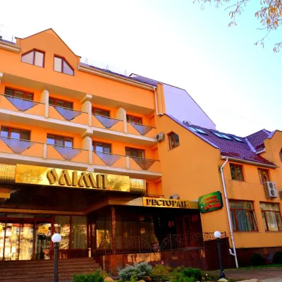 HotelHotel "Olimp" UzhhorodUzhhorodunder 1 km from the riverPoolSaunaBreakfastNearby: Uzhhorod synagogue 1.8 kmUzhhorod Castle 2.4 km
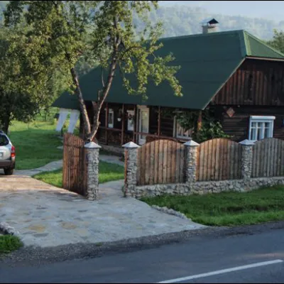 HomesteadСадиба "СТАВНЕ, 158"Stavneunder 1 km from the riverBBQKitchenParkingNearby: 9 trails
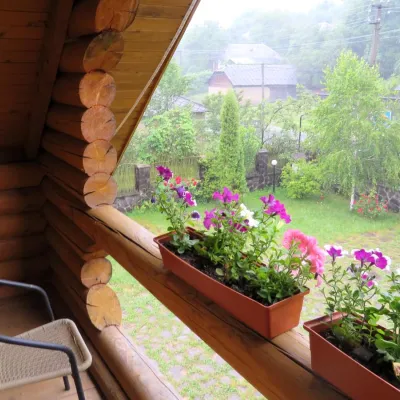 HotelMini-Hotel "Verkhovynskyi Dvir" KostrynaKostrynaunder 1 km from the riverSaunaBBQKitchenNearby: Mt Judah Top 5.4 kmMt Yavirnyk 5.6 km12 trails
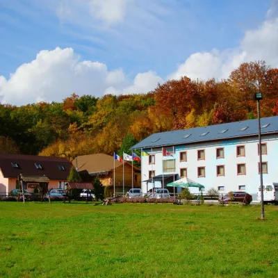 HotelHotel Complex "Klub Visson"Kostrynaunder 1 km from the riverPoolSaunaSPANearby: Mt Judah Top 4.2 kmMt Yavirnyk 5.1 km15 trails
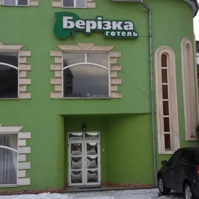 HotelHotel "Berizka" PerechynPerechyn1.1 km from the riverSaunaSPABBQNearby: Church of St. Augustine 400 mNevytsky Castle 7.7 km4 trails
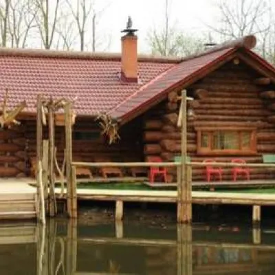 CottageChalet "Vedmezha Berloga" UzhhorodUzhhorod1.4 km from the riverPoolSaunaBBQNearby: Uzhhorod synagogue 3.2 kmUzhhorod Castle 3.8 km
Trails nearby
All trails HardMulti-dayMarkedTranscarpathian Tourist TrailElevation profile198–2 031 m393.2 kmascent 30 283 munder 1 km from Uzh River
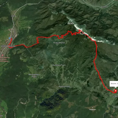 ModerateTwo-dayUnmarkedVelykyi Bereznyi village to Chornoholova villagevia Ruskyi Mochar village, Mount YavirnykElevation profile199–1 014 m20.7 kmascent 918 m≈ 7 h walkingunder 1 km from Uzh River
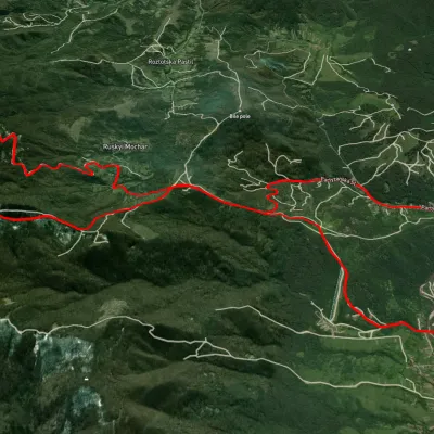 HardTwo-dayUnmarkedVelykyi Bereznyi village loopvia Mount Yavirnyk, Ruskyi Mochar villageElevation profile194–1 009 m22.8 kmascent 980 m≈ 7.5 h walkingunder 1 km from Uzh River
Nearby attractions
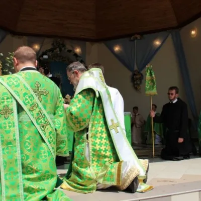 SightBasilian Monastery of St. Nicholas, Male BerezneMalyi Bereznyi2.7 km from Uzh RiverThe monastery is located in the village of Malyi Bereznyi, on the slope of Mount Dilok, near the Uzh River.
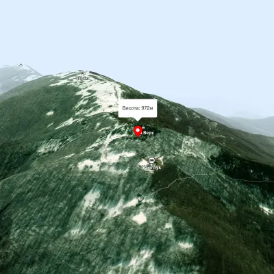 PeakMount Judah TopRuskyi Mocharaltitude 972 m7.2 km from Uzh RiverThe top of Mount Judah Top is 972 meters above sea level. The nearest settlements are: Ruskyi Mochar (2.1 km), Sil (4.2 km), Roztotska Pastil (4.3 km).
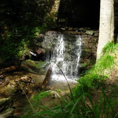 WaterfallLumshory waterfallsLumshory22 km from Uzh RiverLumshory waterfalls are a group of waterfalls in the Ukrainian Carpathians, a hydrological natural monument of local importance (called "Waterfall on the Turytsia...