Mount Syhlanskyi
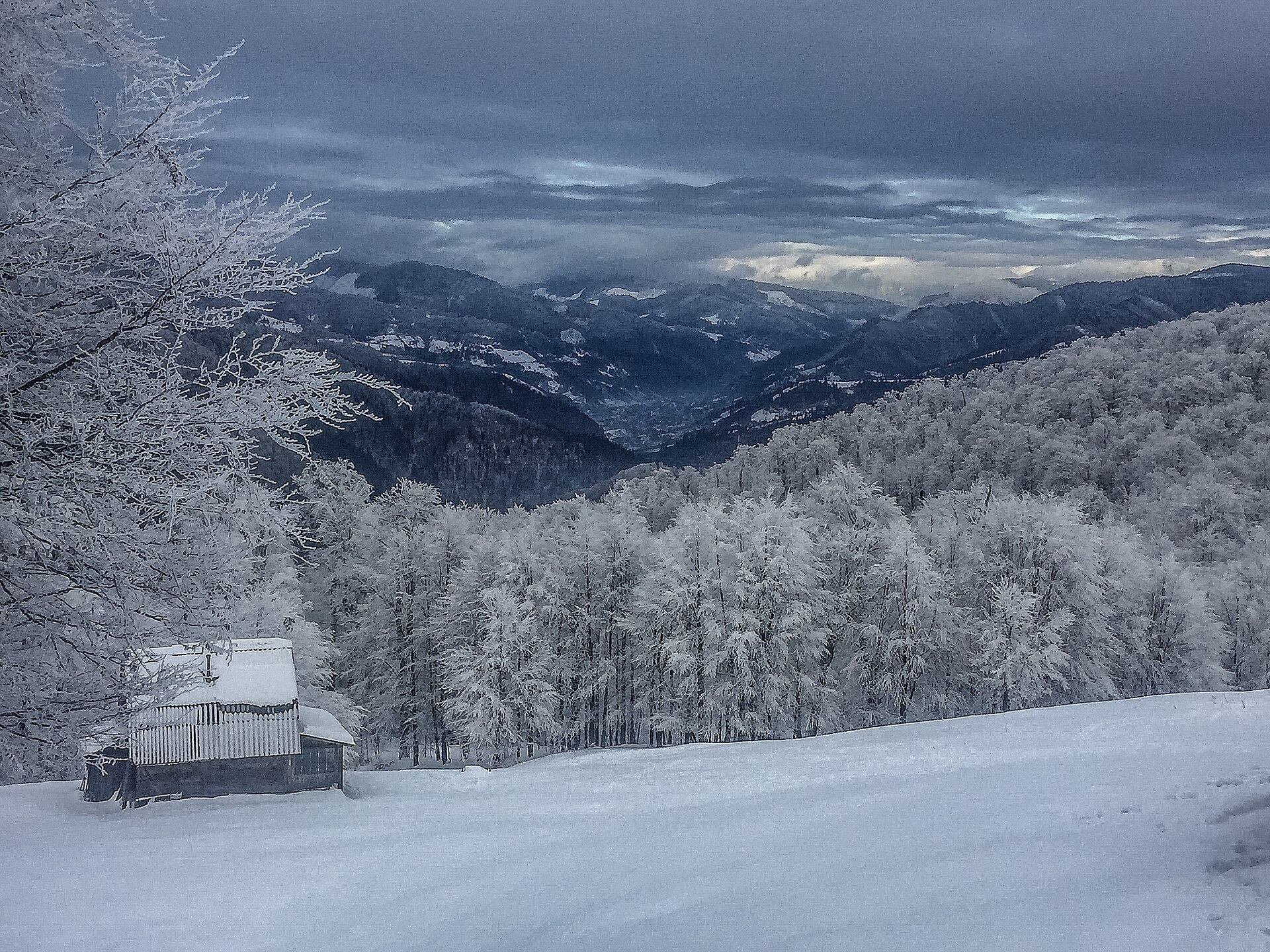
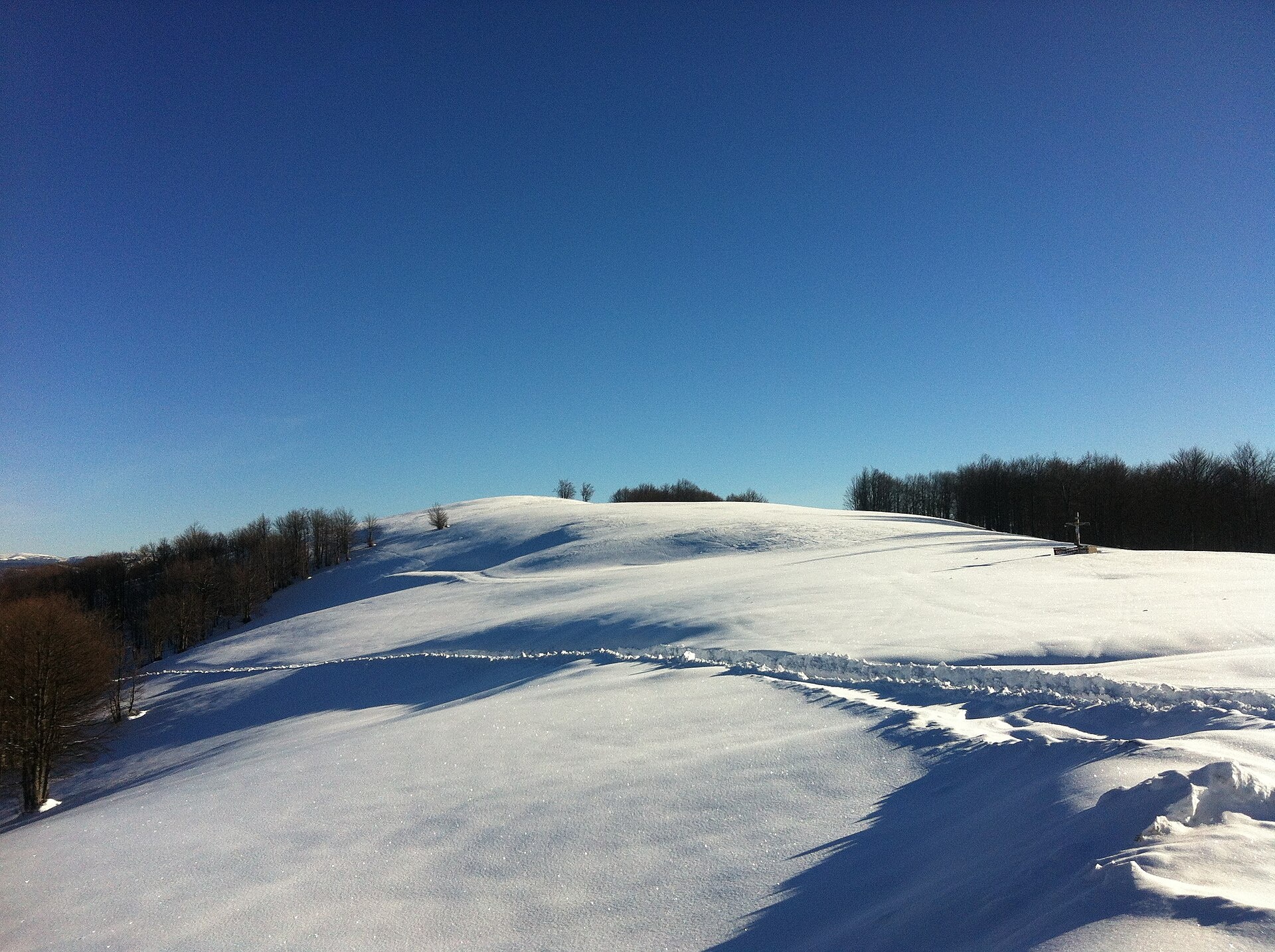
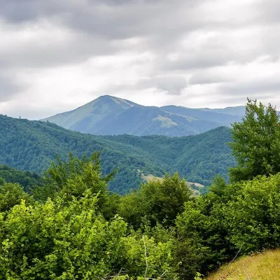
Syhlanskyi is the highest peak of the Polonyna Krasna massif in the Ukrainian Carpathians. It lies in the Tiachiv district of Zakarpattia Oblast, between the villages of Kolochava and Ust-Chorna. It is 1564 m high (1563.8 m according to Wikidata). Locals call the mountain Hromovytsia.
The southern and north-western slopes descend into saddles that link the summit with other peaks of the main ridge. Up to 1100–1200 m the slopes are covered mainly with beech forest, higher up lie mountain meadows. The summit offers views of the surrounding mountains: Svydovets to the east, the Manchul massif to the south-west and the Pyshkonia ridge to the north-west.
The Krasna ridge runs from north-west to south-east, bounded by the Tereblia valley to the west and the Mokrianka valley to the east. Neighbouring tops of the crest are Topas (1548 m) to the north-west and Klymova (1492 m) to the south-east, 6 km from Ust-Chorna.
How to get there
The shortest option from Kolochava is Kolochava – Syhlanskyi – Klymova – Ruzha – Ust-Chorna (29.4 km), crossing the whole central crest of Krasna. The route Ust-Chorna – Klymova – Syhlanskyi – Topas – Kolochava (42.1 km) goes the other way. For a multi-day hike take Kolochava – Krasna ridge – Ust-Chorna – Svydovets ridge – Yasinia (81.4 km); the Transcarpathian Tourist Trail also crosses the summit.
Water, shelter and safety
Our map marks a spot about 2.3 km from the summit where you can take drinking water from a stream. There is no water on the ridge itself, so carry a supply. The Krasna crest is long and treeless: there is no shade in the heat and nowhere to hide in a thunderstorm, so check the forecast and start early. In fog follow the waymarks. The best season is from May to October. In an emergency call 112 or 101; contacts of the nearest units are on the mountain rescue page.
Photos: Trayan Mustyatse, CC BY-SA 4.0; Никитина Виктория Михайловна, CC BY-SA 4.0 — Wikimedia Commons.
Location on the map
Comments
Places to stay nearby
 HotelComplex "Stare Selo" Mykulychyn9.2 km from Mount SyhlanskyiParkingTransferNearby: Holy Spirit Church 200 mMt Strymba 6.9 km10 trails
 HotelRecreation Complex "Azhio" Mykulychyn Village10 km from Mount SyhlanskyiSaunaKitchenTransferNearby: Holy Spirit Church 1.2 kmMt Negrovets 7.8 km9 trails
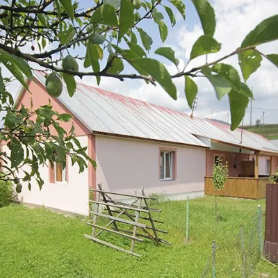 CottageCottage "Yalivets" Kolochava11 km from Mount SyhlanskyiHot tubBBQKitchenNearby: Holy Spirit Church 1.7 kmMt Negrovets 7.3 km9 trails
Trails nearby
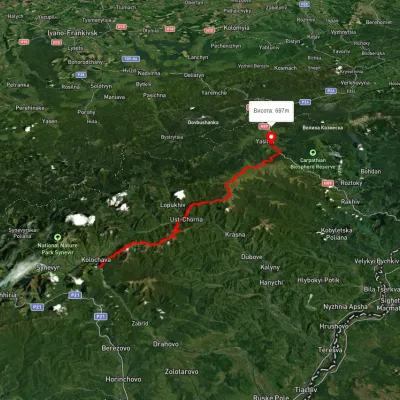 HardMulti-dayUnmarkedKolochava village to Yasiniavia Krasna ridge, Ust-Chorna village +1Elevation profile527–1 756 m81.4 kmascent 3 395 munder 1 km from Mount Syhlanskyi
 HardMulti-dayUnmarkedKolochava village to Ust-Chorna villagevia Mount Syhlianskyi, Mount Klymova +1Elevation profile515–1 557 m29.4 kmascent 1 742 m≈ 11 h walkingunder 1 km from Mount Syhlanskyi
 HardMulti-dayUnmarkedUst-Chorna village to Kolochava villagevia Mount Klymova, Mount Syhlianskyi +1Elevation profile522–1 558 m42.1 kmascent 1 698 m≈ 14 h walkingunder 1 km from Mount Syhlanskyi
Nearby attractions
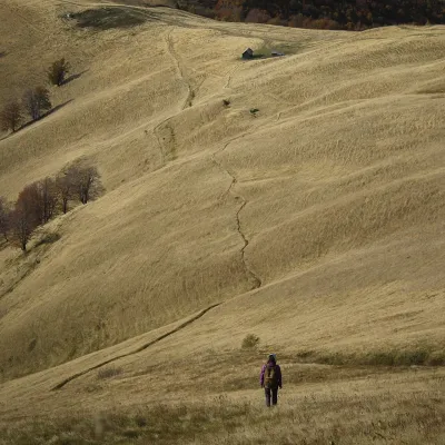 PeakMount Topasaltitude 1 548 m · Svydovets range4.1 km from Mount SyhlanskyiTopas is a mountain in the Ukrainian Carpathians, in the Polonyna Krasna massif, Tiachiv district of Zakarpattia Oblast.
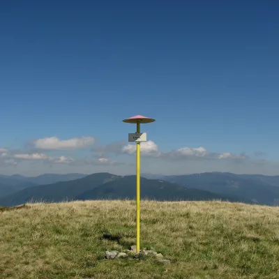 PeakMount Klymovaaltitude 1 492 m6.5 km from Mount SyhlanskyiKlymova is a 1,492 m summit of the Polonyna Krasna range. It lies in the Tiachiv district of Zakarpattia Oblast, about 6 km west of the village of Ust-Chorna, which it...
 PeakMount Strymbaaltitude 1 719 m · Gorgany range8.4 km from Mount Syhlanskyi4 trails to the topMount Strymba is a 1,719-meter peak of the Ukrainian Carpathians, which lies within the Gorgan mountain range - on the territory of the Pryvododilni Gorgan.