Lumshory village, via Mount Mala Holytsia and Mount Yavirnyk to Sil village
About the route:
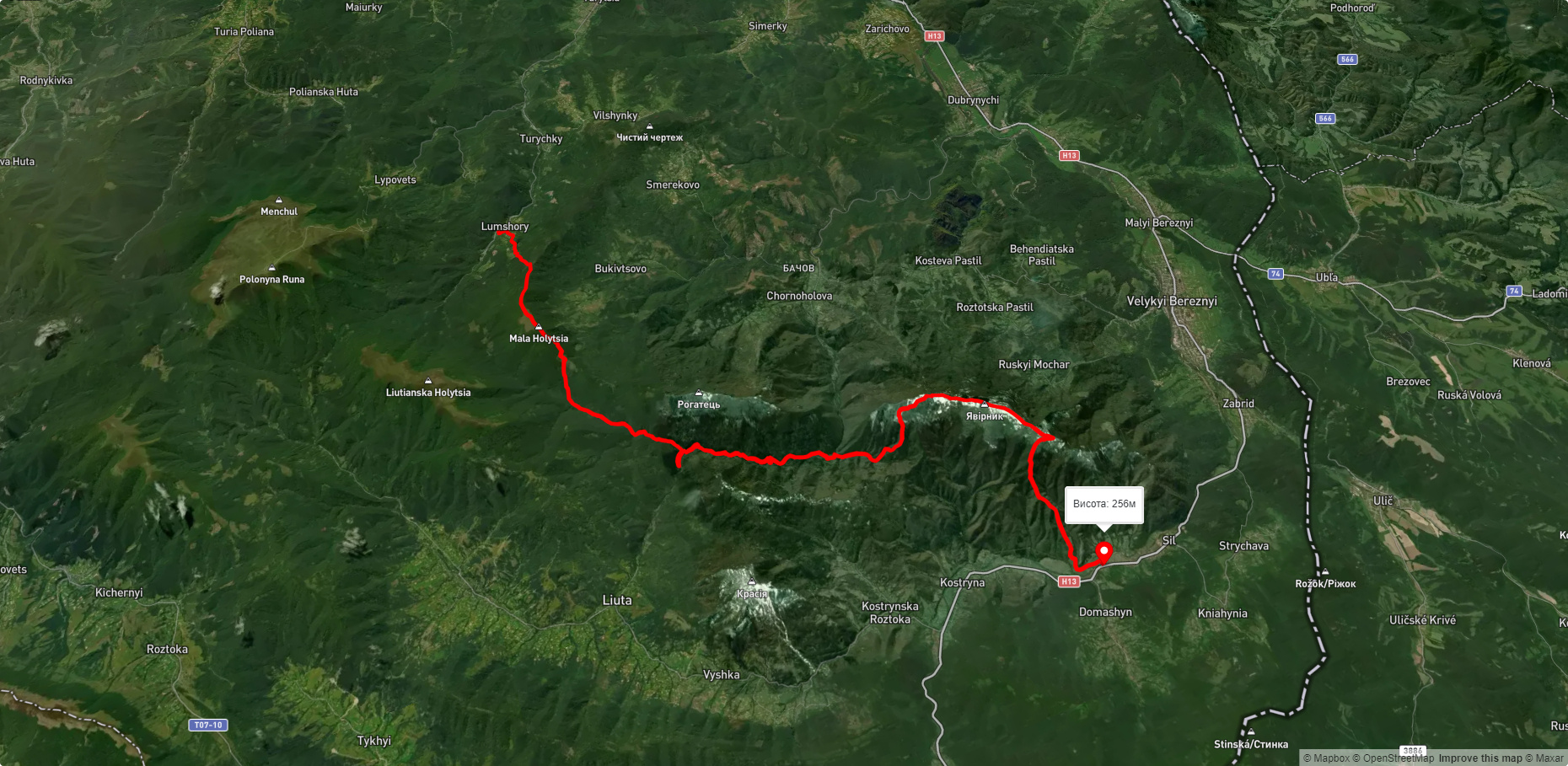
Route Lumshory village, via Mount Mala Holytsia and Mount Yavirnyk to Sil village. Warning! This route is unmarked (it may be partially marked)! Unmarked routes are not equipped with: information boards; signposts; auxiliary signs (water, campsite, etc.). The decision to take the route is entirely your own responsibility! Trail length 35538m. Lowest point - 255m., highest point - 1182m. Total elevation gain 1666m. Along the route you will see: Mount Yavirnyk.
🎮 3D hike
Walk this route in 3D
Real terrain, satellite map, Carpathian forests
Play →
To add a comment you can: login or register.
What to see along the route:
48.90301365603224,22.558190517347725 | Altitude: 1017м
Mount Yavirnyk
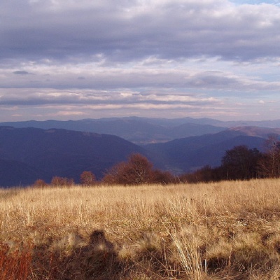 Mount Yavirnyk is a 1,017-meter peak of the Ukrainian Carpathians, which is located within the Polonynsky Beskyd. It is located in Velykyi Bereznyi district of Zakarpattia region, to the east of the village of Velykyi Bereznyi.
... More...
Mount Yavirnyk is a 1,017-meter peak of the Ukrainian Carpathians, which is located within the Polonynsky Beskyd. It is located in Velykyi Bereznyi district of Zakarpattia region, to the east of the village of Velykyi Bereznyi.
... More...


