Mount Zhyd-Mahura – Izky village
Unmarked trailmore
It may be partly marked. Unmarked trails have no information boards, signposts or auxiliary signs (water, campsite, etc.). The decision to walk the trail is entirely your own responsibility.
Trail map
Where to stay nearby

About the trail
Route Mount Zhyd-Mahura – Izky village. Along the route you will see: Mount Zhid-Magura, Church of the Presentation of the Blessed Virgin Mary, Bukovets.
At a glance
A short route of 6.9 km with 165 m of ascent and 1,070 m of descent from Mount Zhyd-Mahura to Izky village. Estimated walking time: about 2 h, not counting stops. Difficulty: easy. Waymarking is missing or partial.
Route stages
- 0–4.5 kmDescent of 850 m (down to 684 m)
- 4.5–6 kmClimb of 100 m (up to 785 m)
- 6–7 kmDescent of 130 m to Izky village
Steepest kilometre: km 1.5–2.5, a descent of 320 m (≈31%).
Water and overnight stays
Springs near the trail: at km 0 and 2. Some springs run low or dry up in late summer.
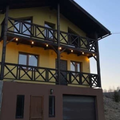
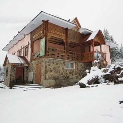
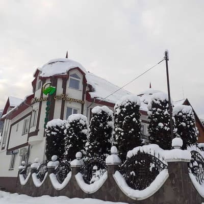
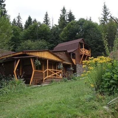
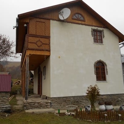
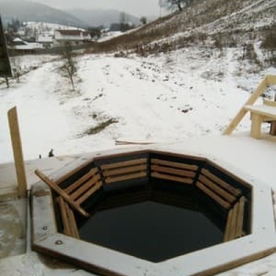
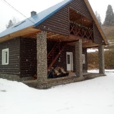
Places to stay near the start: Pylypets; near the finish: Izky.
When to go
Best time: May to October. In winter deep snow is possible, so experience and winter gear are needed.
Getting there
Start: Mount Zhyd-Mahura. Most places to stay near the start are in Pylypets. This is a one-way route: the finish is 4 km from the start in a straight line, so plan your way back in advance.
FAQ
- How long does the route take?
- Estimated walking time: about 2 h, not counting stops.
- Is there water on the route?
- Springs near the trail: at km 0 and 2. Some springs run low or dry up in late summer.
- Where can I stay overnight?
- Places to stay near the start: Pylypets; near the finish: Izky.
Water and shelter on the route
- Spring below Mount Zhyd–Mahura (4)km 0.1 from the start · 250 m off the path · Not verified · 1 415 m
- Spring below Mount Zhyd–Mahura (8)km 2 from the start · 70 m off the path · Not verified · 1 033 m
Comments
What to see on the trail
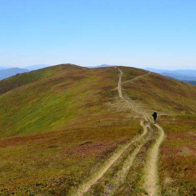 Mount Zhid-Maguraaltitude 1 517 mZhyd-Magura (also called Magura-Zhyd) is a 1517-meter peak of the Ukrainian Carpathians, which is located within the popular tourist destination,...
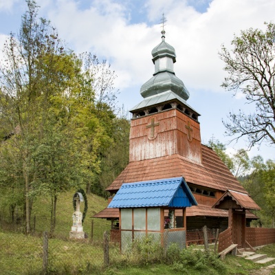 Church of the Presentation of the Blessed Virgin Mary, Bukovetsaltitude 610 mThe ensemble of the Church of the Assumption of the Blessed Virgin Mary with a bell tower and a wooden gate, which is rare today.
Trails nearby
All trails HardMulti-dayMarkedTranscarpathian Tourist TrailElevation profile198–2 031 m393.2 kmascent 30 283 m
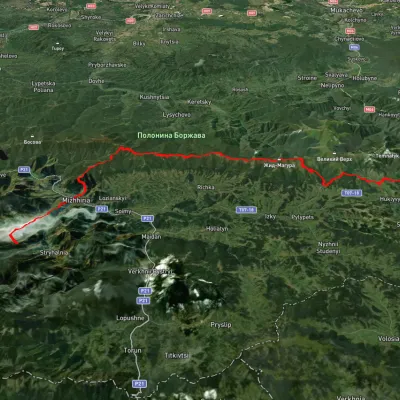 HardMulti-dayUnmarkedSynevyr Pass to Volovetsvia Mizhhiria, Mount Zhyd-Mahura +2Elevation profile435–1 508 m57.3 kmascent 2 396 m
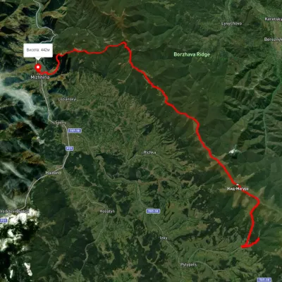 HardMulti-dayUnmarkedPylypets village to Mizhhiriavia Shypit Waterfall, Mount Hemba +1Elevation profile388–1 471 m38.1 kmascent 1 686 m≈ 13 h walking