Zaroslyak base, via Lake Nesamovyte and Mount Shpytsi to Zaroslyak base
About the route:
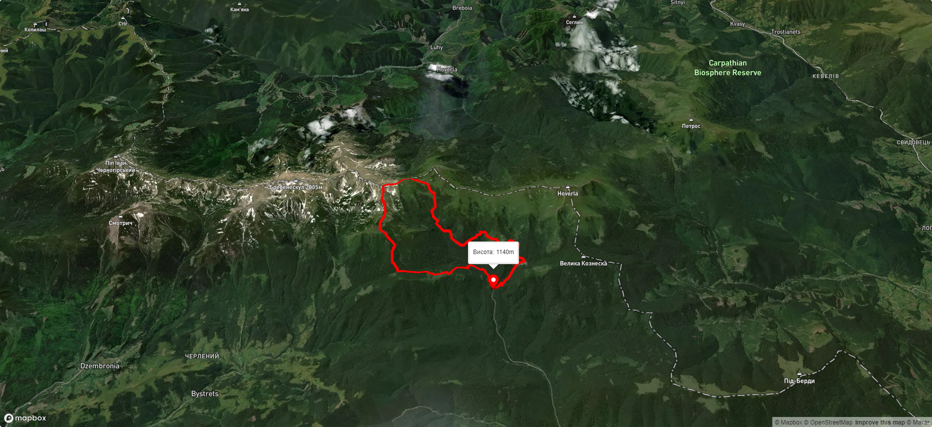
Route Zaroslyak base, via Lake Nesamovyte and Mount Shpytsi to Zaroslyak base. Warning! This route is unmarked (it may be partially marked)! Unmarked routes are not equipped with: information boards; signposts; auxiliary signs (water, campsite, etc.). The decision to take the route is entirely your own responsibility! Trail length 18245m. Lowest point - 1162m., highest point - 1964m. Total elevation gain 937m. Along the route you will see: Mount Gomul, Mount Shpytsi, Polonyna Gadzhina, Mount Rebra, High-mountainous Lake Nesamovite (1750 m.a.s.l., Chornohora ridge), Mount Turkul, Mount Danzig.
🎮 3D hike
Walk this route in 3D
Real terrain, satellite map, Carpathian forests
Play →
To add a comment you can: login or register.
What to see along the route:
48.135896766746484,24.56234245769349 | Altitude: 1788м
Mount Gomul
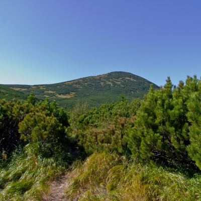 Gomul (also known by another name - Khomul) is a 1788-meter peak in the Ukrainian Carpathians, which is located in the Carpathian National Nature Park. The mountain is located within the Nadvirna district of Ivano-Frankivsk region on the territory of the Chornohora mountain range.
... More...
Gomul (also known by another name - Khomul) is a 1788-meter peak in the Ukrainian Carpathians, which is located in the Carpathian National Nature Park. The mountain is located within the Nadvirna district of Ivano-Frankivsk region on the territory of the Chornohora mountain range.
... More...
48.12562105043507,24.567395739477547 | Altitude: 1863м
Mount Shpytsi
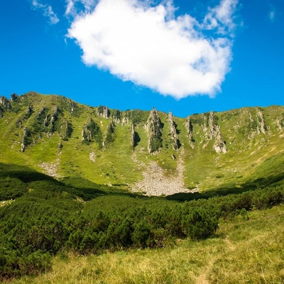 Shpytsi is a mountain of the Ukrainian Carpathians, 1863 m high, which lies on the territory of Verkhovyna district of Ivano-Frankivsk region. The peak is located in the Carpathian National Reserve in the central part of the Chornohora mountain range, several kilometers northeast of the main ridge, with which it is connected by a gentle bridge.
... More...
Shpytsi is a mountain of the Ukrainian Carpathians, 1863 m high, which lies on the territory of Verkhovyna district of Ivano-Frankivsk region. The peak is located in the Carpathian National Reserve in the central part of the Chornohora mountain range, several kilometers northeast of the main ridge, with which it is connected by a gentle bridge.
... More...
48.1191902980076,24.56654307947997 | Altitude: 771м
Polonyna Gadzhina
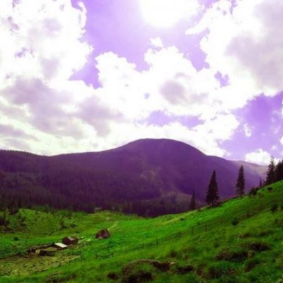 It seemed that the Chornohora massif was literally crowded with people, but sometimes you can come across places that either locals or tourists who have eaten the dog on hikes know about. We are talking about the Hajyna meadow.
... More...
It seemed that the Chornohora massif was literally crowded with people, but sometimes you can come across places that either locals or tourists who have eaten the dog on hikes know about. We are talking about the Hajyna meadow.
... More...
48.1117831797357,24.558383517187508 | Altitude: 2001м
Mount Rebra
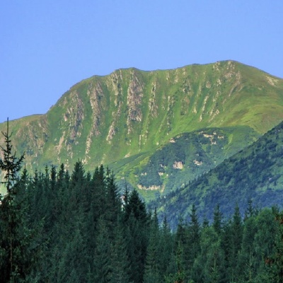 Mount Rebra, with a height of 2001 meters, is located in the central part of the Chornohora ridge. It is one of the highest peaks in Ukraine and closes the six so-called "two-thousanders" of the Ukrainian Carpathians, which includes Hoverla, Brebeneskul, Pip Ivan Chornohirsky, Petros , and Hutyn Tomnatyk.
... More...
Mount Rebra, with a height of 2001 meters, is located in the central part of the Chornohora ridge. It is one of the highest peaks in Ukraine and closes the six so-called "two-thousanders" of the Ukrainian Carpathians, which includes Hoverla, Brebeneskul, Pip Ivan Chornohirsky, Petros , and Hutyn Tomnatyk.
... More...
48.12250030000001,24.53919719999999 | Altitude: 1750м
High-mountainous Lake Nesamovite (1750 m.a.s.l., Chornohora ridge)
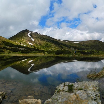 Nesamovyte is one of the highest lakes in the Ukrainian Carpathians (1750 m above sea level). It is located within the Nadvirna district of Ivano-Frankivsk region. It lies within the Carpathian National Park, in a glacial kar (depression) on the eastern slopes of Mount Turkul (Chornohora massif).
... More...
Nesamovyte is one of the highest lakes in the Ukrainian Carpathians (1750 m above sea level). It is located within the Nadvirna district of Ivano-Frankivsk region. It lies within the Carpathian National Park, in a glacial kar (depression) on the eastern slopes of Mount Turkul (Chornohora massif).
... More...
48.123787675160436,24.53010230533448 | Altitude: 1933м
Mount Turkul
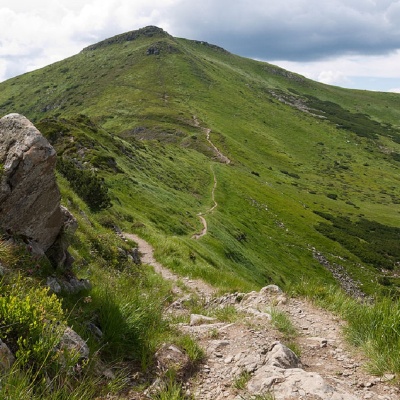 Turkul, 1933 meters high, is one of the peaks of the Ukrainian Carpathians, located in the Chornohora mountain range. The mountain is located on the border of two regions - Zakarpattia and Ivano-Frankivsk.
... More...
Turkul, 1933 meters high, is one of the peaks of the Ukrainian Carpathians, located in the Chornohora mountain range. The mountain is located on the border of two regions - Zakarpattia and Ivano-Frankivsk.
... More...
48.13518791576376,24.531432681005867 | Altitude: 1850м
Mount Danzig
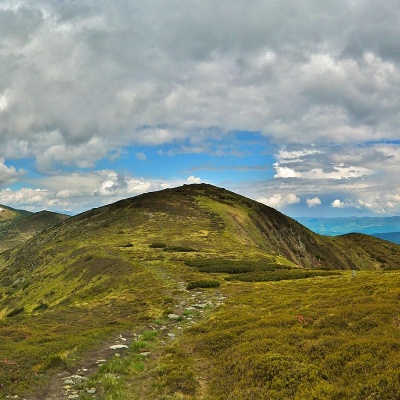 Dantsizh (also known as Danzer) is a peak of the Ukrainian Carpathians, 1850 meters high. The mountain is located on the Chornohora mountain range (in its northwestern part) on the border of two regions - Zakarpattia and Ivano-Frankivsk.
... More...
Dantsizh (also known as Danzer) is a peak of the Ukrainian Carpathians, 1850 meters high. The mountain is located on the Chornohora mountain range (in its northwestern part) on the border of two regions - Zakarpattia and Ivano-Frankivsk.
... More...


