Kamianytsia village, via Antalovetska Poliana to Turi Remety village
About the route:
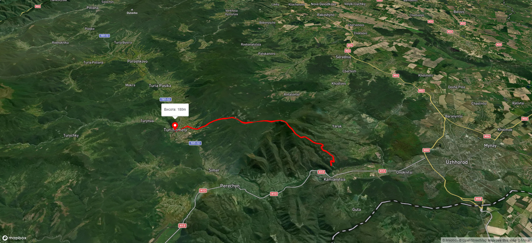
Route Kamianytsia village, via Antalovetska Poliana to Turi Remety village. Warning! This route is unmarked (it may be partially marked)! Unmarked routes are not equipped with: information boards; signposts; auxiliary signs (water, campsite, etc.). The decision to take the route is entirely your own responsibility! Trail length 18147m. Lowest point - 176m., highest point - 963m. Total elevation gain 811m. Along the route you will see: Nevytsky Castle, Mount Antalovetska Polyana.
🎮 3D hike
Walk this route in 3D
Real terrain, satellite map, Carpathian forests
Play →
To add a comment you can: login or register.
What to see along the route:
48.68104434848649,22.40923859218749 | Altitude: 132м
Nevytsky Castle
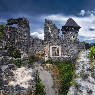 Nevytsky Castle begins its history in the 12th century, and historical facts indicate that Nevytsky Castle had royal status in 1274. It is located 12 km from Uzhhorod in the forest on a high mountain, washed by the Vayda stream. It was owned by Hungarian rulers. Time has not spared the majestic fortress, but restoration is ongoing and the structure is regaining its former grandeur. The castle's defensive fortifications include a wall with four towers, ramparts, and a moat between them. From... More...
48.6751834300035,22.492809292645234 | Altitude: 968м
Mount Antalovetska Polyana
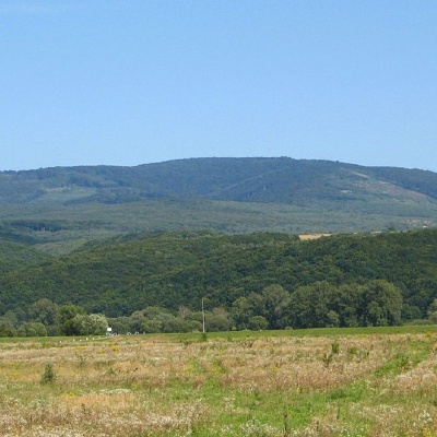 Mount Antalovetska Polyana is a 968-meter high peak of the Ukrainian Carpathians, located in the western part of the Makovets mountain range on the border of two districts of Zakarpattia region - Uzhhorod and Perechyn.
... More...
Mount Antalovetska Polyana is a 968-meter high peak of the Ukrainian Carpathians, located in the western part of the Makovets mountain range on the border of two districts of Zakarpattia region - Uzhhorod and Perechyn.
... More...


