Junction with the green route – Kozmeska polonyna – WWI cemetery
About the route:
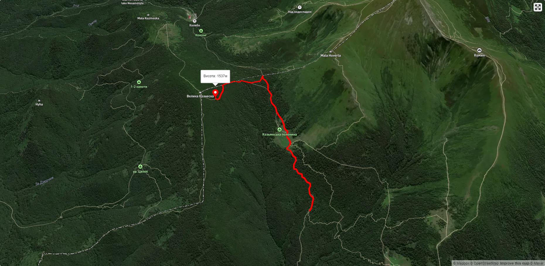
Route Junction with the green route – Kozmeska polonyna – WWI cemetery. Has yellow marking. Trail length 2587m. Lowest point - 1263m., highest point - 1530m. Total elevation gain 334m.
🎮 3D hike
Walk this route in 3D
Real terrain, satellite map, Carpathian forests
Play →
To add a comment you can: login or register.


