Runa polonyna
About the route:
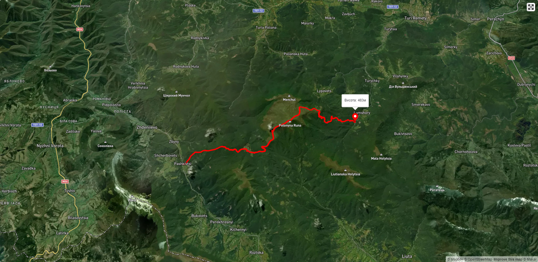
Route Runa polonyna. Has red marking. Trail length 23566m. Lowest point - 465m., highest point - 1473m. Total elevation gain 1689m. Along the route you will see: Lumshory waterfalls.
🎮 3D hike
Walk this route in 3D
Real terrain, satellite map, Carpathian forests
Play →
To add a comment you can: login or register.
What to see along the route:
48.811514668791084,22.73539863667601 | Altitude: 483м
Lumshory waterfalls
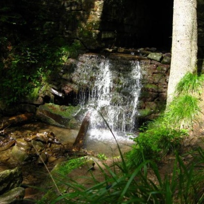 Lumshory waterfalls are a group of waterfalls in the Ukrainian Carpathians, a hydrological natural monument of local importance (called "Waterfall on the Turytsia River"). They are located within Perechyn district of Zakarpattia region. A hydrological natural monument of local importance, located 3.5 km northeast of the village of Lumshory, on the Turytsia River (a tributary of the Turya), near the northwestern slopes of Polonyna Rivna.
... More...
Lumshory waterfalls are a group of waterfalls in the Ukrainian Carpathians, a hydrological natural monument of local importance (called "Waterfall on the Turytsia River"). They are located within Perechyn district of Zakarpattia region. A hydrological natural monument of local importance, located 3.5 km northeast of the village of Lumshory, on the Turytsia River (a tributary of the Turya), near the northwestern slopes of Polonyna Rivna.
... More...


