Zhenets – Kruhloyavirnyk polonyna – Mykulychyn village
About the route:
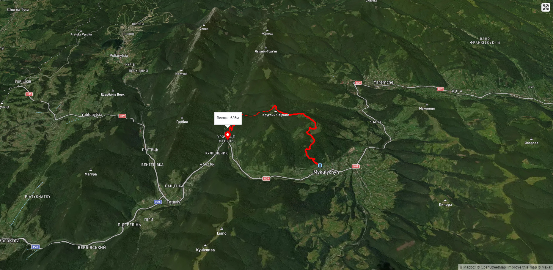
Route Zhenets – Kruhloyavirnyk polonyna – Mykulychyn village. Has yellow marking. Trail length 10335m. Lowest point - 591m., highest point - 1193m. Total elevation gain 1412m. Along the route you will see: Trinity Church, Mykulychyn.
🎮 3D hike
Walk this route in 3D
Real terrain, satellite map, Carpathian forests
Play →
To add a comment you can: login or register.
What to see along the route:
48.39741835492916,24.59886028981322 | Altitude: 622м
Trinity Church, Mykulychyn
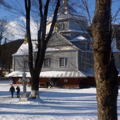 The village of Mykulychyn is known to many vacationers and tourists as a Carpathian resort. It is one of the largest villages in Ukraine. It is home to the Trinity Church. It is the main decoration and source of pride for the villagers. The church is made entirely of wood in the Hutsul style. The temple is remarkable for its power. This is a rather large religious building. The gray building is decorated with golden tops, solemnly shining in the sun. The austere facade of the church has large... More...


