Doraloop, via Mount Makovytsia, Mount Staiky, Mount Smerichok
Trail map
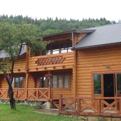
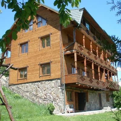
Where to stay nearby
About the trail
Route Dora – Mount Makovytsia – Mount Staiky – Mount Smerichok – Dora. Has yellow marking (short routes, connecting paths, shortcuts). Along the route you will see: St. Michael's Church, Yaremche, White Stone Rock, Peter and Paul Church (Sheptytsky Museum), Yaremche, Dovbush trail in Yaremche, Mount Makovytsia, Yaremche, St. Elias Church, Yaremche.
At a glance
A one-day loop route of 13.2 km with 797 m of ascent, starting and finishing at Dora. Estimated walking time: about 4.5 h, not counting stops. Difficulty: moderate. Waymarking: yellow.
Route stages
- 0–3 kmClimb of 480 m to Mount Makovytsia (984 m)
- 3–7 kmGentle ups and downs at 900–1,000 m
- 7–9 kmDescent of 180 m (down to 809 m)
- 9–11 kmGentle ups and downs at 770–830 m
- 11–13 kmDescent of 300 m (down to 474 m)
Steepest kilometre: km 1–2, a climb of 250 m (≈24%).
Water and overnight stays
Springs near the trail: at km 3, 7 and 8.
Places to stay near the start: Yaremche.
When to go
Best time: May to October. In winter deep snow is possible, so experience and winter gear are needed.
Getting there
Start: Dora. Most places to stay near the start are in Yaremche. This is a loop: it brings you back to the start.
FAQ
- How long does the route take?
- Estimated walking time: about 4.5 h, not counting stops.
- Is there water on the route?
- Springs near the trail: at km 3, 7 and 8.
- Where can I stay overnight?
- Places to stay near the start: Yaremche.
Water and shelter on the route
- Spring below Mount Makovytsia (8)km 2.6 from the start · 240 m off the path · Not verified · 877 m
- Spring (Mykulychyn, 25)km 6.9 from the start · Not verified · 957 m
- Drinking water (Dora)km 8.4 from the start · Not verified · 863 m
Comments
What to see on the trail
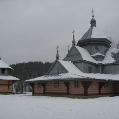 St. Michael's Church, Yaremchealtitude 539 mMichael's Church in Yaremche is a wooden church located on the outskirts of the resort town, in the village of Dora.
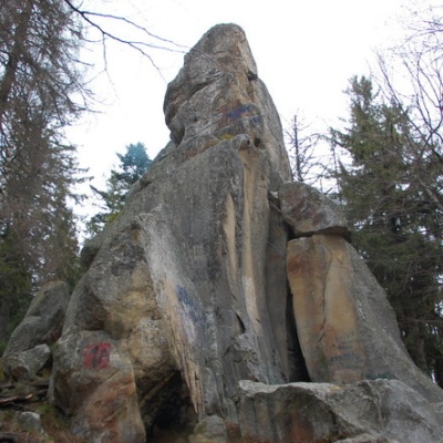 White Stone Rockaltitude 538 mThe White Stone Rock is located in the village of Dora in the Carpathians and is one of the most prominent natural attractions in Ukraine.
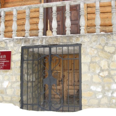 Peter and Paul Church (Sheptytsky Museum), Yaremchealtitude 539 mWhile vacationing in Yaremche, it will be interesting to visit the modern wooden church of the Holy Apostles Peter and Paul, which exists at the St.
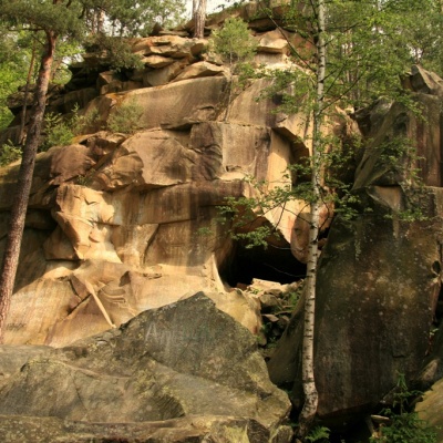 Dovbush trail in Yaremchealtitude 539 mIn the Ukrainian Carpathians, there are many sites named after the leader of the Oprishka, Oleksa Dovbush: Dovbush Rocks, Dovbush Stone, Dovbush Cave.
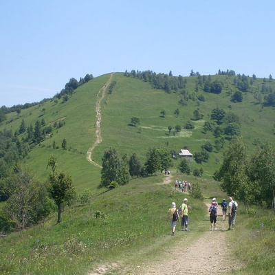 Mount Makovytsia, Yaremchealtitude 984 mBesides, these mountains have a certain mysticism about them.
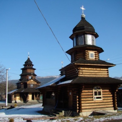 St. Elias Church, Yaremchealtitude 539 mTheChurch of the Holy Prophet E lijah is a unique architectural monument built in the Hutsul style in the shape of a cross in Yaremche. ...
Trails nearby
All trails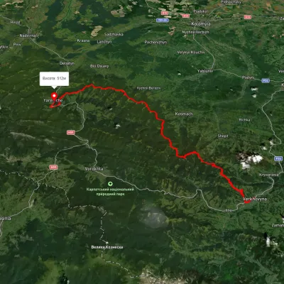 HardMulti-dayUnmarkedVerkhovyna to Yaremchevia Mount Bila Kobyla, Mount Makovytsia +1Elevation profile489–1 488 m63.8 kmascent 2 447 m
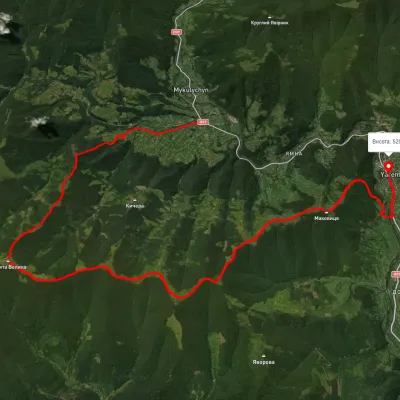 HardMulti-dayUnmarkedMykulychyn village to Yaremchevia Mount Kostel, Mount Rokyta +1Elevation profile493–1 089 m27.1 kmascent 1 047 m≈ 9 h walking
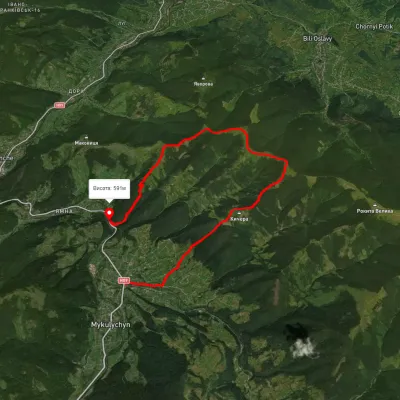 ModerateTwo-dayMarkedRivnia hamlet Mykulychynvia Mount Smerichok, Mount PetrashElevation profile585–1 041 m15 kmascent 915 m≈ 5.5 h walking