Yamnaloop, via Yavirnyk polonyna, Kruhloyavirnyk
Trail map
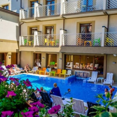
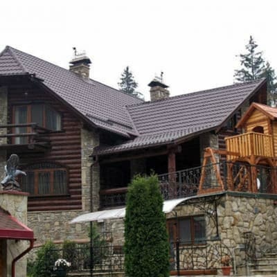
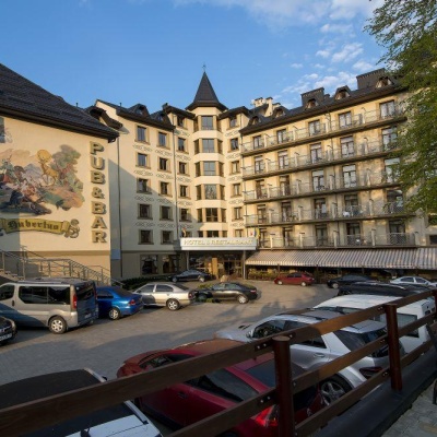
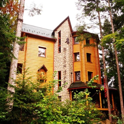
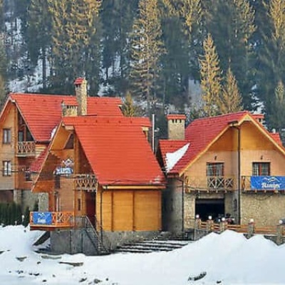
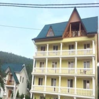
Where to stay nearby

About the trail
Route Yamna – Yavirnyk polonyna – Kruhloyavirnyk – Yamna. Has blue marking (most notable or interesting routes). Along the route you will see: Church of St. John the Baptist, Yaremche, Dovbush's stone, Yaremche, Bridge over the Prut River, Yaremche.
At a glance
A one-day loop route of 14.3 km with 1,077 m of ascent, starting and finishing at Yamna. Estimated walking time: about 5.5 h, not counting stops. Difficulty: moderate. Waymarking: blue.
Route stages
- 0–4 kmClimb of 560 m to Hut
- 4–11 kmGentle ups and downs at 1,000–1,210 m
- 11–13 kmDescent of 400 m (down to 605 m)
- 13–14 kmGentle ups and downs at 540–610 m
Steepest kilometre: km 11–12, a descent of 220 m (≈22%).
Water and overnight stays
Springs near the trail: at km 6, 8, 10 and 11. Some springs run low or dry up in late summer.
Huts and shelters near the trail: Hut (Mykulychyn, 3) (km 4), Hut (Mykulychyn, 2) (km 8), Cabin (Mykulychyn) (km 8), Hut near Polonyna Yavirnyk (km 9). Places to stay near the start and finish: Yaremche.
When to go
Best time: May to October. In winter deep snow is possible, so experience and winter gear are needed.
Getting there
Start: Yamna. Most places to stay near the start are in Yaremche. This is a loop: it brings you back to the start.
FAQ
- How long does the route take?
- Estimated walking time: about 5.5 h, not counting stops.
- Is there water on the route?
- Springs near the trail: at km 6, 8, 10 and 11. Some springs run low or dry up in late summer.
- Where can I stay overnight?
- Huts and shelters near the trail: Hut (Mykulychyn, 3) (km 4), Hut (Mykulychyn, 2) (km 8), Cabin (Mykulychyn) (km 8), Hut near Polonyna Yavirnyk (km 9). Places to stay near the start and finish: Yaremche.
Water and shelter on the route
- Hut (Mykulychyn, 3)km 4.1 from the start · Not verified · 1 134 m
- Spring (Mykulychyn, 20)km 5.6 from the start · 130 m off the path · Not verified · 1 116 m
- Spring (Mykulychyn, 13)km 8 from the start · 130 m off the path · Not verified · 1 174 m
- Hut (Mykulychyn, 2)km 8.1 from the start · Not verified · 1 197 m
- Cabin (Mykulychyn)km 8.1 from the start · Not verified · 1 199 m
- Spring (Mykulychyn, 6)km 8.4 from the start · 100 m off the path · Not verified · 1 228 m
- Hut near Polonyna Yavirnykkm 9.5 from the start · 40 m off the path · Locked · 1 038 m
- Spring (Mykulychyn, 14)km 9.5 from the start · 50 m off the path · Not verified · 1 037 m
- Spring (Mykulychyn, 18)km 11 from the start · 280 m off the path · Not verified · 863 m
Comments
What to see on the trail
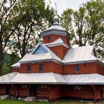 Church of St. John the Baptist, Yaremchealtitude 539 mIn the vicinity of the city of Yaremche is the Church of St. John the Merciful, built back in 1663, in the village of Yamna, and is an unsurpassed...
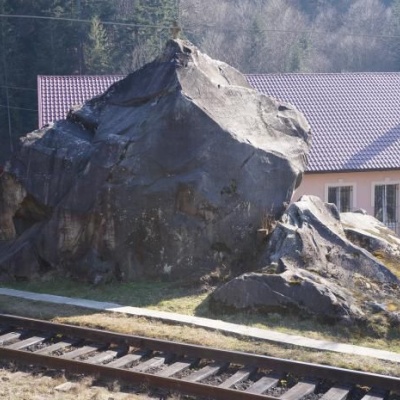 Dovbush's stone, Yaremchealtitude 539 mOleksa Dovbush has been famous for centuries. Songs and legends were composed about him.
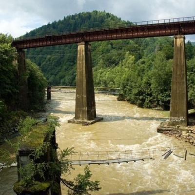 Bridge over the Prut River, Yaremchealtitude 539 mToday, the town can be reached by car or bus, and at the beginning of the last century, there was a railway bridge here. ...
Trails nearby
All trails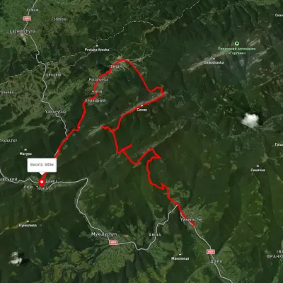 HardMulti-dayUnmarkedYaremche to Tatariv villagevia the Yavirnyk ridge, Zhenetskyi Huk Waterfall +4Elevation profile510–1 658 m46.8 kmascent 2 435 m
 HardMulti-dayUnmarkedYaremche to Polianytsia (Bukovel) villagevia Mount YavirnykElevation profile553–1 464 m36.1 kmascent 1 708 m≈ 12.5 h walking
 ModerateOne-dayMarkedYaremche loopvia Yavir polonyna, Vovcha polonynaElevation profile526–1 194 m12.6 kmascent 1 197 m≈ 5.5 h walking