Mount Makovytsia
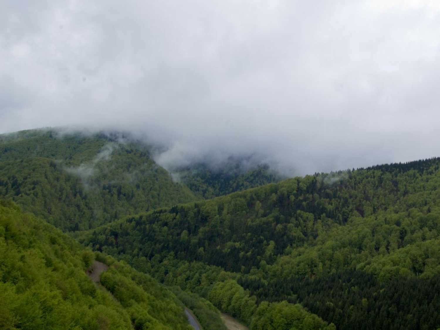
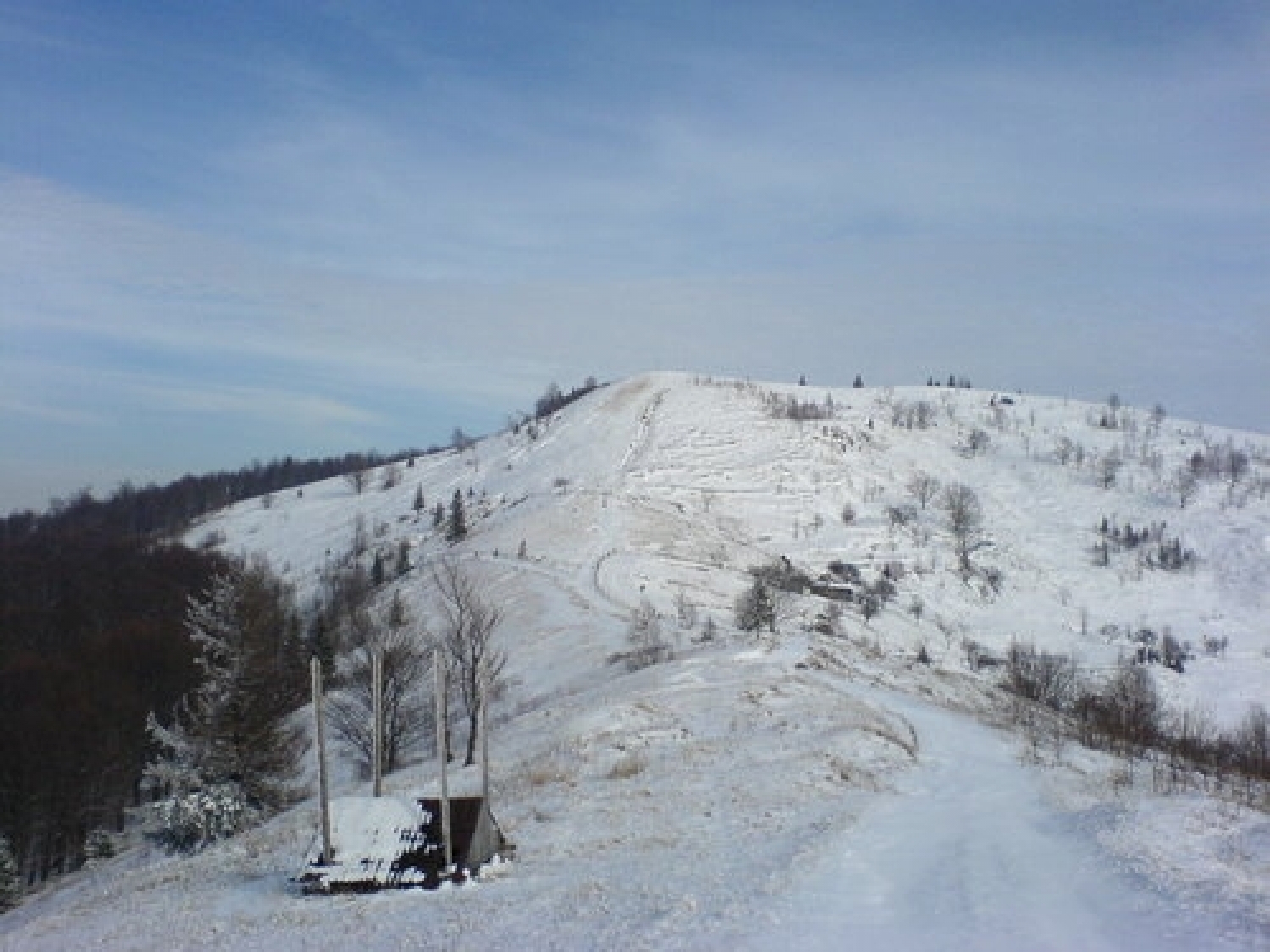
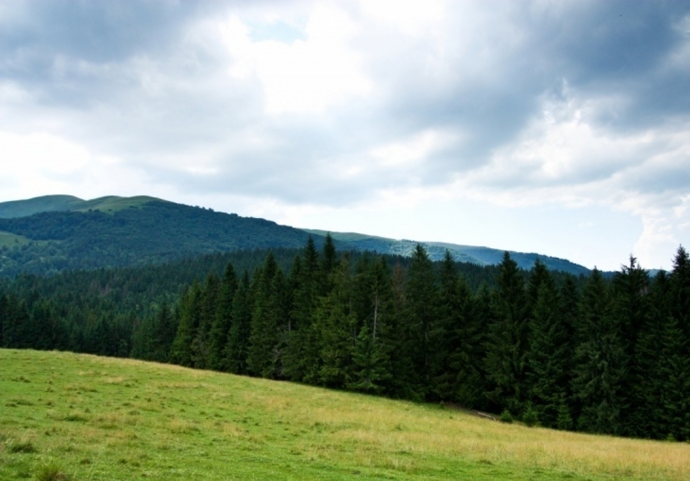
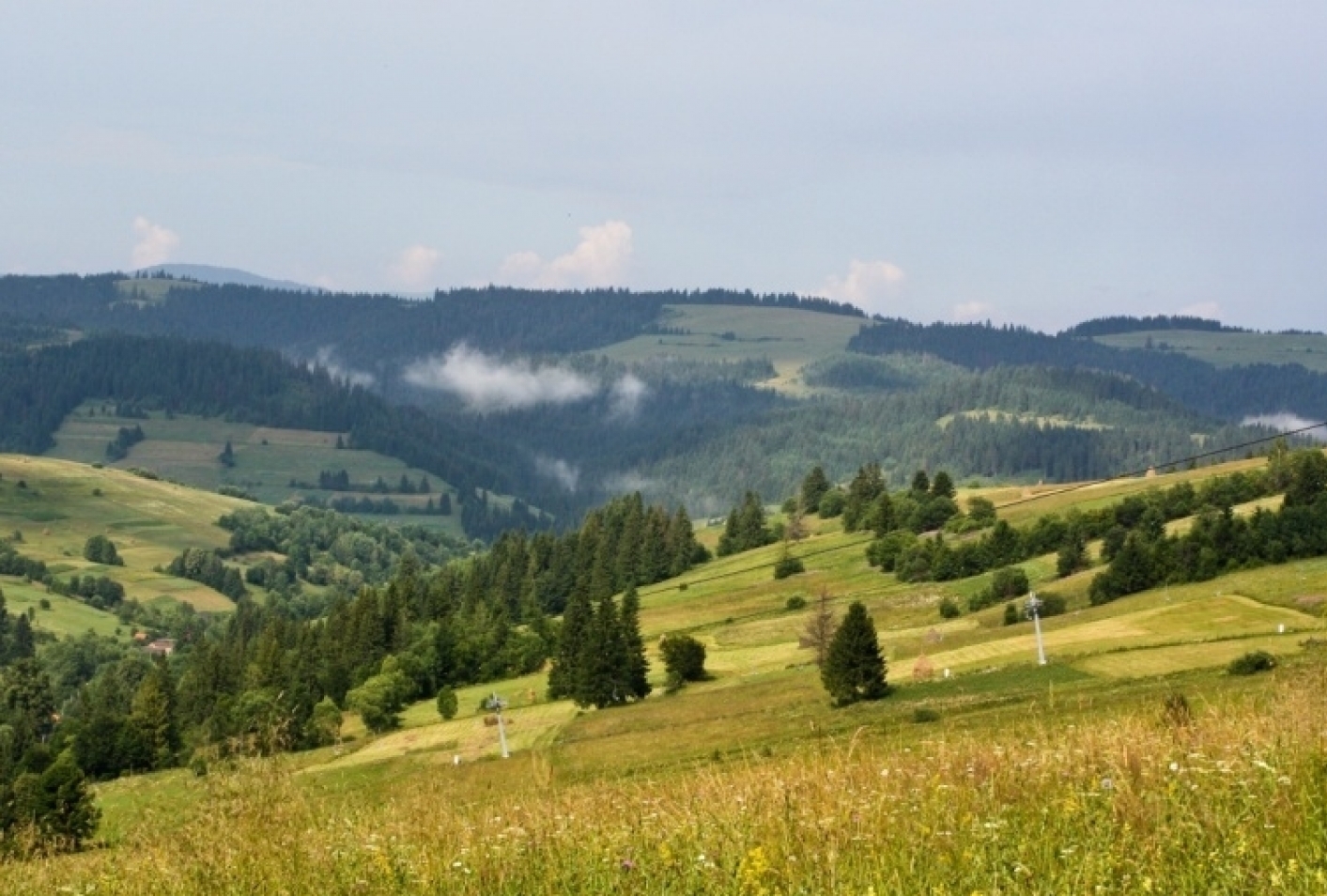
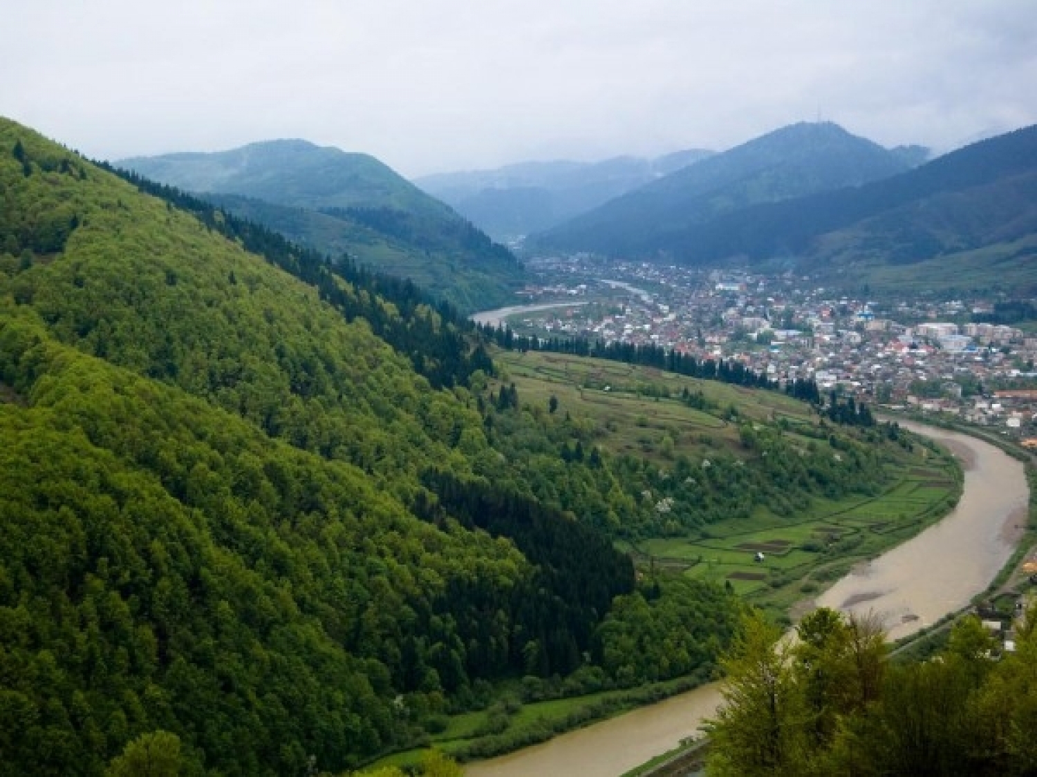
Mount Makovytsia is a gem of the western lands, with amazing landscapes, fairy-tale views, nature, air, and atmosphere located in the central part of the eponymous Makovytsia Ridge – it is part of the Great Volcanic Ridge, on the border of Perechyn and Uzhhorod districts of the Transcarpathian region. Makovytsia is rightly not only a beautiful mountain but also one of the highest in the Volcanic Ridge, yielding its gigantic size only to Mount Buzhora. The height of Makovytsia is almost 978 meters.
The northern and northwestern slopes of Makovytsia are distinguished by their special landscape – they are steeper, so one must be particularly vigilant and careful in these areas, while the southern slopes of the mountain are gentle. Mount Makovytsia is partially covered with forests. Among the predominant trees here are hornbeam, oak, and beech, although wild apple trees, pears, and cherries can sometimes be found. The mountain represents a solid grassy canvas, with luxurious and fragrant grasses inviting you to relax. Many of the plants that grow on Makovytsia are listed in the Red Book of Ukraine, so it is worth not picking or tearing all the herbs to avoid harming this special mountain ecosystem.
To the northwest of Makovytsia is the Lypova Skelya Ridge, to the northeast - Mount Zakruzhi (688 m), and to the south - the valley of the Stara River (a tributary of the Latorytsia). The nearest settlements are the villages of Turyi Remety, Rakovo, Antalovtsi, and the towns of Irshava, Sinevir, Kolochava.
You can stay overnight in the nearby villages with local people, who sometimes accept travelers – sometimes for a fee, and sometimes just for free. Rooms are rented here on a daily basis. If you plan to camp, be sure to take essential items such as: a raincoat, flashlight, rope, batteries for the flashlight, matches, and a camera.
The easiest way to get to Makovytsia is from Uzhhorod. First, take a train or bus to Uzhhorod, and then to one of the nearby settlements to the mountain. It is best to start the hike from the village of Turyi Remety.
Location on the map
Water and shelter nearby
- Hut below Mount Makovytsia630 m · Not verified · 828 m
- Spring below Mount Makovytsia (2)1.2 km · Not verified · 704 m
- Spring below Mount Makovytsia (3)2.1 km · Not verified · 671 m
- Spring below Mount Makovytsia2.3 km · Not verified · 609 m
- Spring (Turi Remety, 5)2.7 km · Weak flow · 731 m
- Spring (Antalovtsi, 10)2.9 km · Not verified · 519 m
Comments
Places to stay nearby
All stays HotelResort "Voyevodyno" Turya PasikaTurya Pasika3.5 km from Mount MakovytsiaPoolSaunaSPANearby: Mt Makovytsia 3.5 km
 HotelSPA Hotel "Vita Park Boholvar" AntalivtsiAntalovtsi7 km from Mount MakovytsiaPoolSaunaSPANearby: Mt Makovytsia 7.0 kmNevytsky Castle 9.7 km
 HotelHotel "Berizka" PerechynPerechyn12 km from Mount MakovytsiaSaunaSPABBQNearby: Church of St. Augustine 400 mNevytsky Castle 7.7 km4 trails
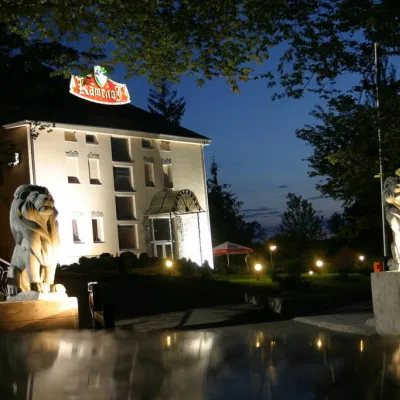 HotelHotel Complex "Camelot"Kamianytsia14 km from Mount MakovytsiaPoolSaunaSPANearby: Nevytsky Castle 300 mMt Antalovetska Polyana 6.3 km7 trails
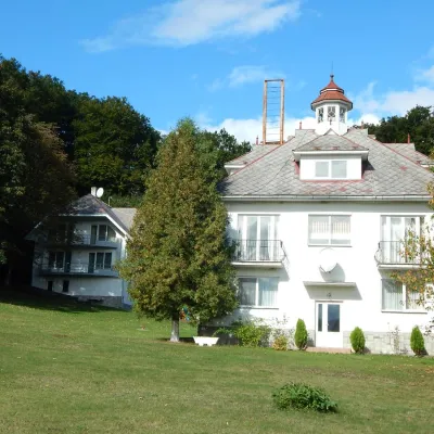 HotelHotel Complex "Babayevo" MykulychynPerechyn15 km from Mount MakovytsiaSaunaBBQWi‑FiNearby: Church of St. Augustine 3.0 kmNevytsky Castle 6.7 km4 trails
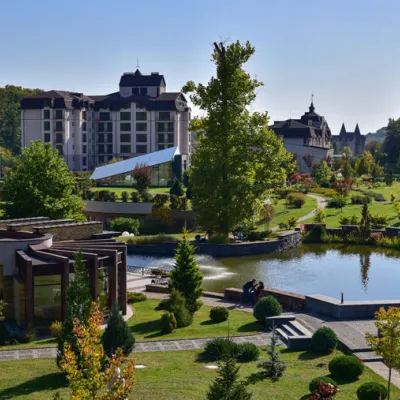 HotelSanatorium Complex "Derenivska Kupil" Nyzhnie SolotvynoShayan15 km from Mount MakovytsiaPoolSaunaSPANearby: Horyany Rotunda 9.1 km1 trail
Trails nearby
All trails ModerateTwo-dayUnmarkedKamianytsia village to Turi Remety villagevia Antalovetska PolianaElevation profile176–963 m18.1 kmascent 811 m≈ 6 h walking4.3 km from Mount Makovytsia
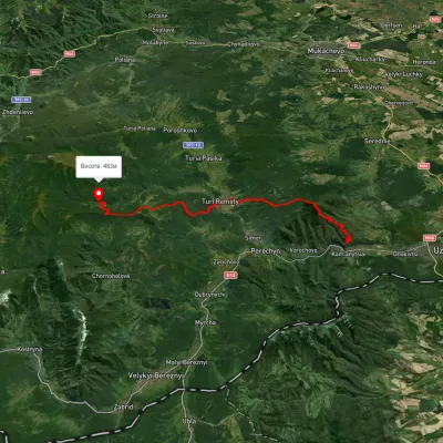 HardMulti-dayMarkedLumshory Nevytske CastleElevation profile176–943 m40.9 kmascent 2 234 m4.9 km from Mount Makovytsia
 ModerateTwo-dayUnmarkedPerechyn village to Kamianytsia villagevia Antalovetska PolianaElevation profile148–966 m20.6 kmascent 931 m≈ 7 h walking5.6 km from Mount Makovytsia
Nearby attractions
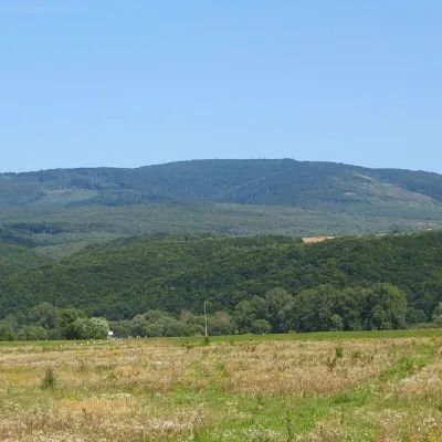 PeakMount Antalovetska PolyanaKamianytsiaaltitude 968 m7.8 km from Mount Makovytsia8 trails to the topMount Antalovetska Polyana is a 968-meter high peak of the Ukrainian Carpathians, located in the western part of the Makovets mountain range on the border of two...
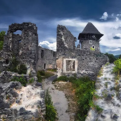 CastleNevytsky CastleNevytske14 km from Mount MakovytsiaNevytsky Castle begins its history in the 12th century, and historical facts indicate that Nevytsky Castle had royal status in 1274.
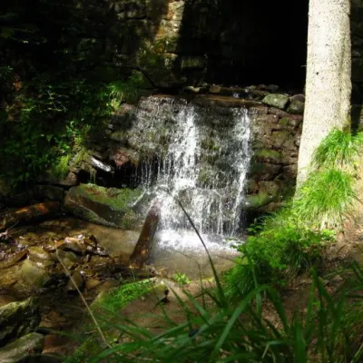 WaterfallLumshory waterfallsLumshory20 km from Mount MakovytsiaLumshory waterfalls are a group of waterfalls in the Ukrainian Carpathians, a hydrological natural monument of local importance (called "Waterfall on the Turytsia...