Mount Yasenovets
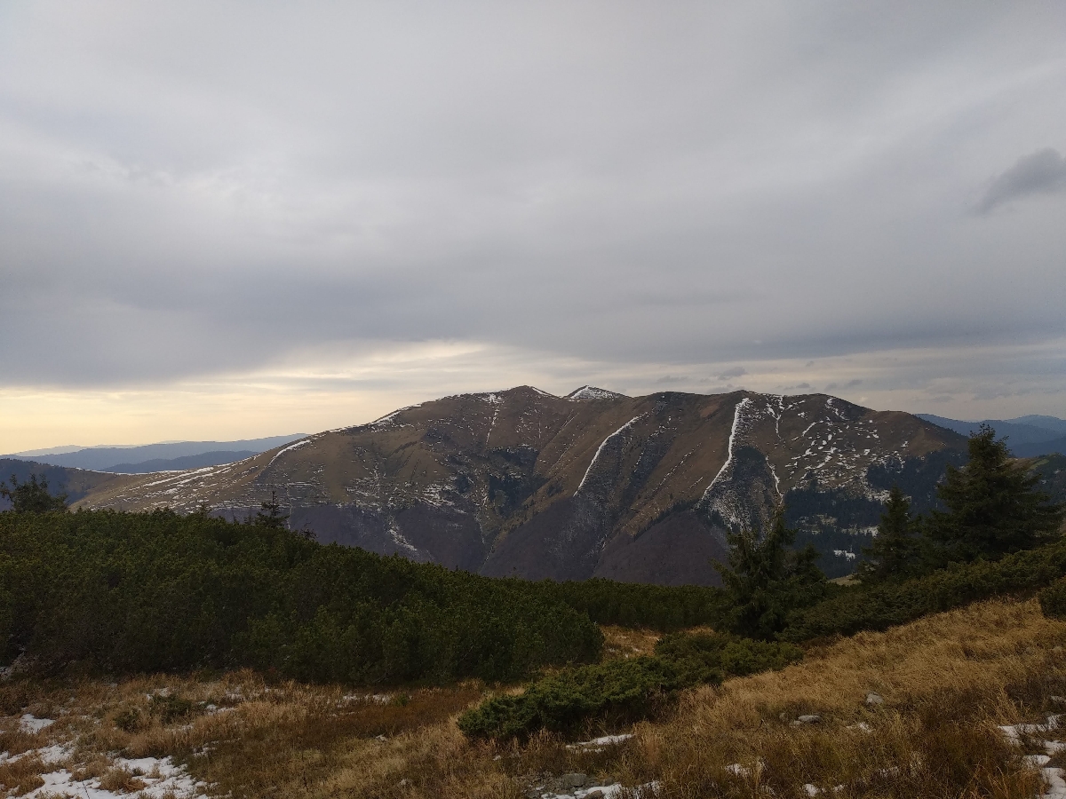
The Pishkonya Ridge stretches from the Synevyr Pass to the southeast, making a southward arc at the end and ending in the village of Kolochava. The highest mountain is called Negrovets, and it rises 1709 meters above sea level. The ridge can be conditionally divided into two sections - marked: Pishkonya, Mala Hropa, Yasnovets, Velyka Hropa, Negrovets, Hrob, Barvinok, and unmarked: the same Horb, unnamed (1441), Yasnovets, unnamed (1564), Darvaika, unnamed (1400).
The nearest settlements are: Synevyr (1.6 km), Horb (4.7 km), Negrovets (5.3 km).
Routes here.
1. Kolochava village - Mount Strymba - Sukhar River - Mount Yasnovets - Mount Horb - Mount Negrovets - Mount Velyka Gropa - Mount Yasenovets - Mount Chertizh - Synevyr village. Duration: 2 days. Route length: 35 km, altitude difference - 1159 m. The route starts in the village of Kolochava and goes up to Mt. Strymba (1719 m), then passes along the typical mountain river Sukhar with a fast flow, rocky bottom and narrow valley, then passes along the steep slopes of the Yasnovets Mountains (1600.2 m; according to other sources - 1605 m), Horb (1687 m) and Negrovets (1707.3 m, according to other sources - 1712 m); then it runs through the mountains Velyka Gropa (1667 m), Yasenovets (1628 m), Chertizh (812 m) to the village of Synevyr.
2. Kolochava village - Horb village - Mount Barvinok - Mount Horb - Mount Negrovets - Mount Velyka Gropa - Mount Yasenovets - Pishkonya ridge - Yavorinka tract. Duration: 1 day. Route length: 15 km, altitude difference - 1147 m. The route starts in the village of Kolochava, then goes past the village of Horb to the mountains Barvinok (1461 m), Horb (1687 m) and Negrovets (1707.3 m, according to other sources - 1712 m); then runs through the mountains Velyka Gropa (1667 m), Yasenovets (1628 m) to the Pishkonya ridge and Yavorinka tract.
Location on the map
Water and shelter nearby
- Spring below Mount Yasenovets (3)1.4 km · Not verified · 1 116 m
- Spring below Mount Yasenovets (6)1.8 km · Not verified · 1 358 m
- Spring below Mount Yasenovets (2)1.8 km · Not verified · 1 363 m
- Spring below Mount Yasenovets (4)2 km · Not verified · 1 309 m
- Spring below Mount Yasenovets2.1 km · Not verified · 1 268 m
- Spring below Mount Yasenovets (5)2.1 km · Not verified · 1 298 m
- Spring below Mount Nehrovets2.2 km · Weak flow · 1 575 m
- Spring (Nehrovets)2.6 km · Not verified · 1 087 m
- Spring below Mount Nehrovets (2)2.7 km · Not verified · 1 251 m
- Spring (Zaverkhnia Kychera, 12)2.8 km · Not verified · 1 324 m
Comments
Places to stay nearby
All stays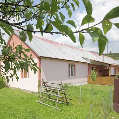 CottageCottage "Yalivets" KolochavaKolochava7.2 km from Mount YasenovetsHot tubBBQKitchenNearby: Holy Spirit Church 1.7 kmMt Negrovets 7.3 km9 trails
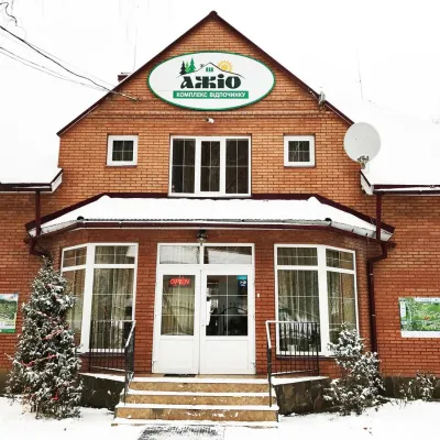 HotelRecreation Complex "Azhio" Mykulychyn VillageKolochava7.7 km from Mount YasenovetsSaunaKitchenTransferNearby: Holy Spirit Church 1.2 kmMt Negrovets 7.8 km9 trails
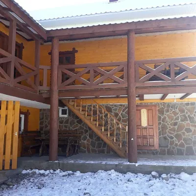 HomesteadHomestead "BILYA SYNEVYRU" Synevyrska PolyanaSynevyrska Polyana8.3 km from Mount YasenovetsSaunaBBQKitchenNearby: Kamyanka Mountain 3.2 kmSynevyr Pass 6.3 km2 trails
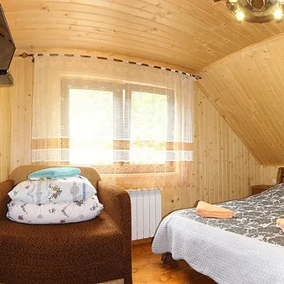 HomesteadHomestead "By the River" Synevyrska PolyanaSynevyrska Polyana8.3 km from Mount YasenovetsSaunaBBQKitchenNearby: Kamyanka Mountain 3.2 kmSynevyr Pass 6.2 km3 trails
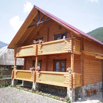 CottageCottage "Orchidea"Synevyrska Polyana8.4 km from Mount YasenovetsSaunaBBQParkingNearby: Kamyanka Mountain 4.1 kmSynevyr Pass 7.1 km6 trails
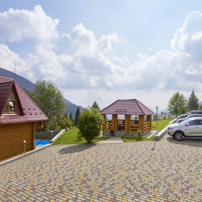 HotelRecreation Base "Kamyanka" MykulychynMizhhiria8.5 km from Mount YasenovetsPoolSaunaSPANearby: Synevyr Pass 400 mKamyanka Mountain 2.9 km5 trails
Trails via Mount Yasenovets
All 5 HardMulti-dayMarkedTranscarpathian Tourist TrailElevation profile198–2 031 m393.2 kmascent 30 283 m
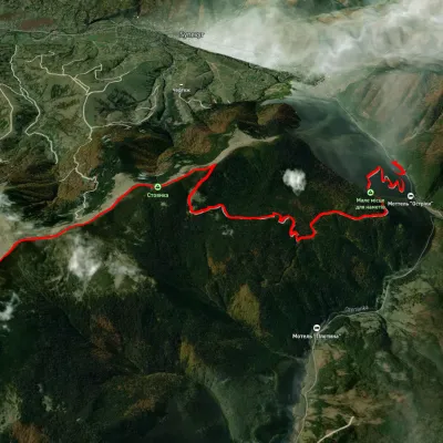 ModerateOne-dayUnmarkedSynevyr village Mount NehrovetsElevation profile647–1 700 m12.3 kmascent 1 310 m≈ 5.5 h walking
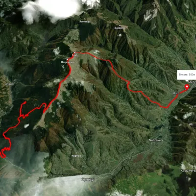 HardMulti-dayUnmarkedSynevyr village to Kolochava villagevia Mount NehrovetsElevation profile539–1 697 m25.4 kmascent 1 531 m≈ 9.5 h walking
Nearby attractions
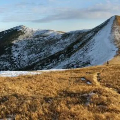 PeakMount Velyka GropaNehrovetsaltitude 1 667 munder 1 km from Mount Yasenovets5 trails to the topToday we will move to the Mizhhirya region, namely to the Pishkonya massif, where the Velyka Gropa mountain rises.
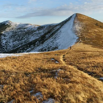 PeakMount NegrovetsNehrovetsaltitude 1 707 m · Gorgany range1.7 km from Mount Yasenovets6 trails to the topMount Negrovets is a peak in the Ukrainian Carpathians, which lies within the Gorgan mountain range (Inner Gorgan Mountains ) in the Mizhhirya district of Zakarpattia...
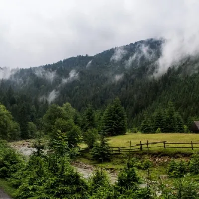 NatureSynevyr (Mizhhirya) PassMizhhiria8.2 km from Mount YasenovetsThe Synevyr Pass (also called the Mizhhiria Pass) is a pass in the Ukrainian Carpathians, in the southwestern outskirts of the Inner Gorgany massif.