White Cheremosh
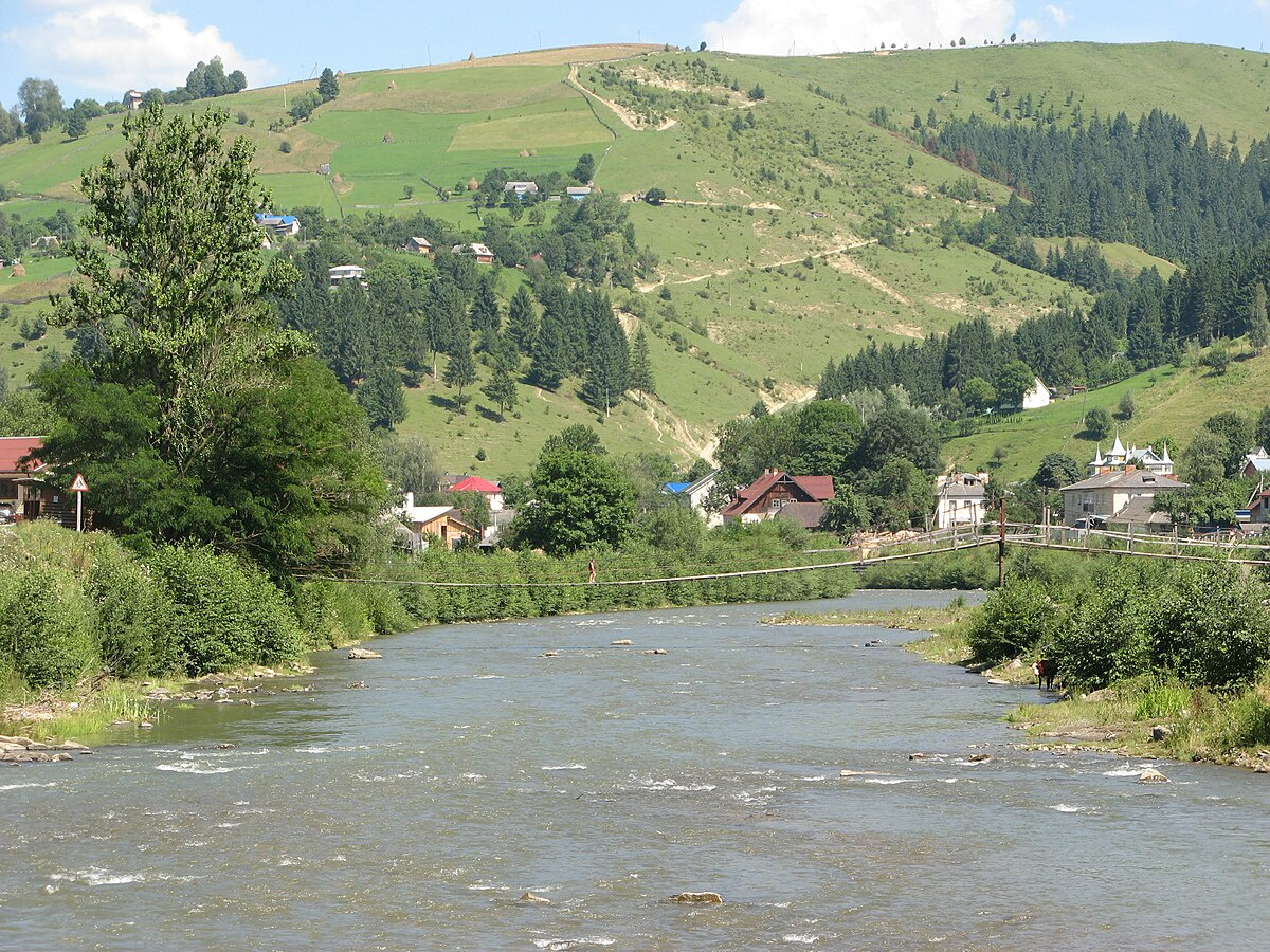
The White Cheremosh is one of the most beautiful and important rivers in the Ukrainian Carpathians. Its clean waters, picturesque landscapes and tourism development make it an important natural resource for local communities and a popular destination for recreation and sports. In the past, due to unsustainable deforestation and development of mountainous areas, natural water filtration has decreased, which has had a negative impact on the river's ecosystem.
Information:
- Length - 51 km.
- Mouth - Cheremosh River
- Basin - the Danube basin
- Source - confluence of the Perkalabu and Sarata rivers
- Fauna - The river is home to a variety of fish species, such as trout, gudgeon, and rare species
- Tourism - The White Cheremosh River is a popular destination for active recreation, including rafting, kayaking, and fishing.
- Hikingtrails - The river is often part of hiking and water trips in the Carpathian Mountains.
- Irrigation - The White Cheremosh has also been used for irrigation of agricultural land in the Carpathian valleys.
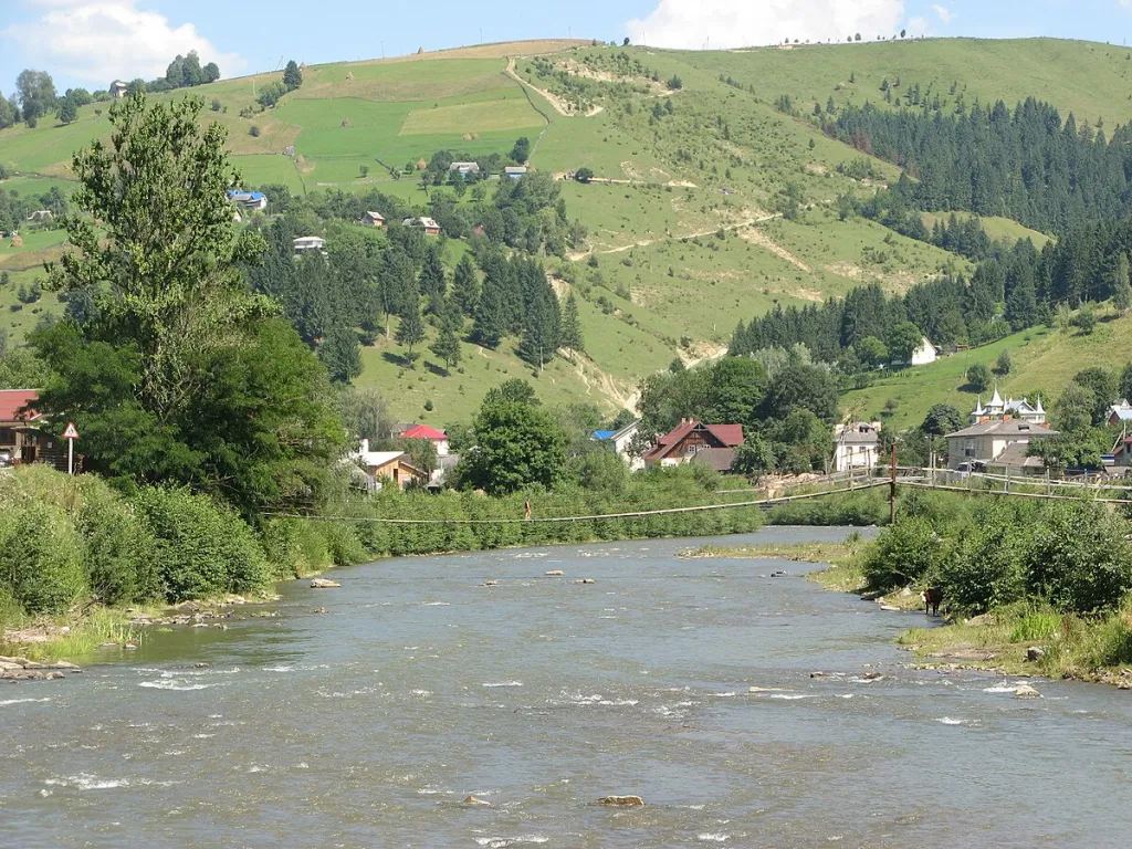
Location on the map
Fishing on the Bilyi Cheremosh
The Bilyi Cheremosh is a mountain border river between Hutsulshchyna and Bukovyna with cold clear water. Brown trout live here, and in recent years the state has been releasing grayling and Danube salmon fry here.
Can I fish now?
- Brown trout — closed until 1 MarchTrout spawning: closed from 10 October to 1 March in the Zakarpattia, Ivano-Frankivsk, Lviv and Chernivtsi regions.Each illegally caught fish costs UAH 7,225 in damages on top of the fine.
- Other species — allowed within the daily limitKeep to the minimum sizes and the daily limit; release protected species.
Limits and rules
Cheremoskyi ichthyological reserve
The Bilyi Cheremosh with its tributaries in Bukovyna is part of the local Cheremoskyi ichthyological reserve (3,288 ha, since 2001), created to protect fish. The river is the border between two oblasts here, so the reserve covers only the Bukovyna half of the channel, up to midstream. Its regulations are not published, so check the fishing regime with the Chernivtsi fisheries patrol. The Cheremoskyi and Verkhovynskyi national parks also lie along the river. The former year-round ban on the Cheremosh rivers down to Kuty was lifted when the current Rules took effect (December 2022).
What to catch
 Brown troutthe whole mountain course and tributaries · closed from 10 October to 1 Marchclosed until 1 March
 Chublower course, towards the Cheremoshallowed
Ichthyologists recorded brown trout on the Perkalab and near Holoshyna (2020–2021), and bullhead and minnow lower down; Danube salmon occurs near Holoshyna.
 Danube salmon (huchen)
 Grayling
 Barbel
 Common dace
Red Book of Ukraine species: if one bites, unhook it carefully and release it. Taking one means a fine and compensation for damages.
Stocking 2025
7,200 young fish released into the river under the state stocking programme
- Grayling Red Book5,800
- Danube salmon (huchen) Red Book1,400
Bite forecast near Usteriky
- TodaygoodSteady pressure, moderate wind1025 hPa · wind up to 15 km/h · 4…8 °C
- TomorrowgoodSteady pressure, moderate wind1025 hPa · wind up to 16 km/h · 4…7 °C
- Saturday, 17 OctobergoodSteady pressure, light wind1019 hPa · wind up to 8 km/h · 5…8 °C
For species open now: chub. Brown trout closed. Based on pressure, wind, temperature and cloud — an estimate, not a guarantee.
Fishing spots 53
Places where you can drive up to the water: fish markers on the page map and the list below. Look at the satellite view before you go — the bank may be steep or overgrown.
Closed right now: brown trout — until 1 March.
- Dirt-road access, Holoshyna (2.7 km)About 50 m to the water from a dirt road. Nearest village: Holoshyna, 2.7 km.Nature reserve (zakaznyk) — check the fishing rules
- Dirt-road access, Plai (3.1 km)The road comes almost to the water. Nearest village (straight line): Plai, 3.1 km.Nature reserve (zakaznyk) — check the fishing rules
- Dirt-road access, Plai (2.6 km)About 40 m to the water from a dirt road. Nearest village: Plai, 2.6 km.Nature reserve (zakaznyk) — check the fishing rules
- Local-road access, Plai (2.4 km)The road comes almost to the water. Nearest village: Plai, 2.4 km.Nature reserve (zakaznyk) — check the fishing rules
- Local-road access, Bila Richka (1.7 km)About 50 m to the water from a local road. Nearest village: Bila Richka, 1.7 km.Nature reserve (zakaznyk) — check the fishing rules
- Local-road access, Bila RichkaAbout 60 m to the water from a local road. Nearest village: Bila Richka, 770 m.Nature reserve (zakaznyk) — check the fishing rules
- Local-road access, Bila RichkaAbout 40 m to the water from a local road. Village: Bila Richka.Nature reserve (zakaznyk) — check the fishing rules
- Access road to the water, Bila RichkaAbout 100 m to the water from an access road. Nearest village: Bila Richka, 1.0 km.Nature reserve (zakaznyk) — check the fishing rules
Show all spots (53)
- Access from a village street, Bila Richka (2.0 km)About 100 m to the water from the street. Nearest village: Bila Richka, 2.0 km.Nature reserve (zakaznyk) — check the fishing rules
- Local-road access, Yablunytsia (1.6 km)About 50 m to the water from a local road. Nearest village: Yablunytsia, 1.6 km.Nature reserve (zakaznyk) — check the fishing rules
- By a canal, YablunytsiaAbout 80 m to the water from a local road. Nearest village: Yablunytsia, 770 m.Nature reserve (zakaznyk) — check the fishing rules
- By the bridge, YablunytsiaThe road comes almost to the water. A bridge is right here. Village: Yablunytsia.Nature reserve (zakaznyk) — check the fishing rules
- Tributary mouth, YablunytsiaAbout 60 m to the water from a local road. Nearest village: Yablunytsia, 730 m.Nature reserve (zakaznyk) — check the fishing rules
- By the bridge, KoniatynThe road comes almost to the water. A bridge is right here. Village: Koniatyn.Nature reserve (zakaznyk) — check the fishing rules
- Stream mouth, KoniatynAbout 30 m to the water from the road. A bridge is right here. Village: Koniatyn.Nature reserve (zakaznyk) — check the fishing rules
- Access from a village street, CheremoshnaAbout 40 m to the water from the street. Nearest village: Cheremoshna, 990 m.Nature reserve (zakaznyk) — check the fishing rules
- By the bridge, PoliankyAbout 40 m to the water from the road. A bridge is right here. Nearest village: Polianky, 850 m.Nature reserve (zakaznyk) — check the fishing rules
- Access road to the water, PoliankyAbout 50 m to the water from an access road. Village: Polianky.Nature reserve (zakaznyk) — check the fishing rules
- Access from a village street, DovhopoleThe road comes almost to the water. Village: Dovhopole.Nature reserve (zakaznyk) — check the fishing rules
- Access from a village street, DovhopoleAbout 30 m to the water from the street. Village: Dovhopole.Nature reserve (zakaznyk) — check the fishing rules
- By the bridge, DovhopilliaAbout 30 m to the water from a local road. A bridge is right here. Nearest village: Dovhopillia, 1.1 km.Nature reserve (zakaznyk) — check the fishing rules
- By the road, StebniThe road comes almost to the water. Nearest village: Stebni, 1.2 km.Nature reserve (zakaznyk) — check the fishing rules
- Local-road access, StebniAbout 30 m to the water from a local road. Village: Stebni.Nature reserve (zakaznyk) — check the fishing rules
- Local-road access, StebniAbout 50 m to the water from a local road. Village: Stebni.Nature reserve (zakaznyk) — check the fishing rules
- Local-road access, StebniAbout 40 m to the water from a local road. Nearest village: Stebni, 730 m.Nature reserve (zakaznyk) — check the fishing rules
- Local-road access, UsterikyAbout 40 m to the water from a local road. Nearest village: Usteriky, 1.2 km.Nature reserve (zakaznyk) — check the fishing rules
- Mouth of the Perkalab tributary on the Bilyi CheremoshThe road comes almost to the water. A bridge is right here. Nearest village (straight line): Nyzhnii Yalovets, 5.9 km.Nature reserve (zakaznyk) — check the fishing rules
- Stream mouth on the Bilyi CheremoshThe road comes almost to the water. Bridge 60 m away. Nearest village (straight line): Nyzhnii Yalovets, 5.1 km.Nature reserve (zakaznyk) — check the fishing rules
- By the bridge, Nyzhnii Yalovets (4.2 km)About 70 m to the water from a local road. Bridge 110 m away. Nearest village (straight line): Nyzhnii Yalovets, 4.2 km.Nature reserve (zakaznyk) — check the fishing rules
- Local-road access, Nyzhnii Yalovets (3.4 km)The road comes almost to the water. Nearest village (straight line): Nyzhnii Yalovets, 3.4 km.Nature reserve (zakaznyk) — check the fishing rules
- Local-road access, Nyzhnii Yalovets (2.7 km)The road comes almost to the water. Nearest village: Nyzhnii Yalovets, 2.7 km.Nature reserve (zakaznyk) — check the fishing rules
- Local-road access, Nyzhnii Yalovets (2.0 km)The road comes almost to the water. Nearest village: Nyzhnii Yalovets, 2.0 km.
- By the bridge, Nyzhnii YalovetsAbout 70 m to the water from a local road. Bridge 80 m away. Nearest village: Nyzhnii Yalovets, 1.1 km.Nature reserve (zakaznyk) — check the fishing rules
- By the bridge, Nyzhnii YalovetsThe road comes almost to the water. Bridge 60 m away. Village: Nyzhnii Yalovets.Nature reserve (zakaznyk) — check the fishing rules
- Local-road access, Nyzhnii YalovetsAbout 60 m to the water from a local road. Village: Nyzhnii Yalovets.Nature reserve (zakaznyk) — check the fishing rules
- Local-road access, Nyzhnii YalovetsAbout 50 m to the water from a local road. Nearest village: Nyzhnii Yalovets, 1.4 km.Nature reserve (zakaznyk) — check the fishing rules
- Dirt-road access, Nyzhnii Yalovets (1.8 km)The road comes almost to the water. Nearest village: Nyzhnii Yalovets, 1.8 km.Nature reserve (zakaznyk) — check the fishing rules
- Local-road access, Nyzhnii Yalovets (2.6 km)About 60 m to the water from a local road. Nearest village: Nyzhnii Yalovets, 2.6 km.Nature reserve (zakaznyk) — check the fishing rules
- Stream mouth, Nyzhnii Yalovets (3.3 km)About 50 m to the water from a local road. Nearest village (straight line): Nyzhnii Yalovets, 3.3 km.Nature reserve (zakaznyk) — check the fishing rules
- Local-road access, Nyzhnii Yalovets (3.8 km)About 30 m to the water from a local road. Nearest village (straight line): Nyzhnii Yalovets, 3.8 km.Nature reserve (zakaznyk) — check the fishing rules
- Local-road access, Nyzhnii Yalovets (4.6 km)About 110 m to the water from a local road. Nearest village (straight line): Nyzhnii Yalovets, 4.6 km.Nature reserve (zakaznyk) — check the fishing rules
- Local-road access, Holoshyna (4.1 km)About 40 m to the water from a local road. Nearest village (straight line): Holoshyna, 4.1 km.Nature reserve (zakaznyk) — check the fishing rules
- Local-road access, Holoshyna (3.3 km)About 50 m to the water from a local road. Nearest village (straight line): Holoshyna, 3.3 km.Nature reserve (zakaznyk) — check the fishing rules
- Local-road access, Holoshyna (2.8 km)The road comes almost to the water. Nearest village: Holoshyna, 2.8 km.Nature reserve (zakaznyk) — check the fishing rules
- Tributary mouth, Holoshyna (2.6 km)About 60 m to the water from a local road. Nearest village: Holoshyna, 2.6 km.Nature reserve (zakaznyk) — check the fishing rules
- Local-road access, Holoshyna (1.9 km)About 110 m to the water from a local road. Nearest village: Holoshyna, 1.9 km.Nature reserve (zakaznyk) — check the fishing rules
- Dirt-road access, HoloshynaAbout 40 m to the water from a dirt road. Nearest village: Holoshyna, 1.2 km.Nature reserve (zakaznyk) — check the fishing rules
- Stream mouth, HoloshynaAbout 40 m to the water from a local road. Village: Holoshyna.Nature reserve (zakaznyk) — check the fishing rules
- Stream mouth, HoloshynaThe road comes almost to the water. Village: Holoshyna.Nature reserve (zakaznyk) — check the fishing rules
- Local-road access, HoloshynaAbout 130 m to the water from a local road. Village: Holoshyna.Nature reserve (zakaznyk) — check the fishing rules
- Stream mouth, HoloshynaAbout 30 m to the water from a local road. Nearest village: Holoshyna, 1.1 km.Nature reserve (zakaznyk) — check the fishing rules
- Stream mouth, Holoshyna (2.0 km)The road comes almost to the water. Nearest village: Holoshyna, 2.0 km.Nature reserve (zakaznyk) — check the fishing rules
- Local-road access, Holoshyna (2.3 km)About 50 m to the water from a local road. Nearest village: Holoshyna, 2.3 km.
Spots are marked from open data (roads and ways to the water, OpenStreetMap); if a spot is inconvenient or inaccessible, let us know. © OpenStreetMap, ODbL.
Springs: Recreational Fishing Rules (Order No. 700 of the Ministry of Agrarian Policy); State Fisheries Agency, Ivano-Frankivsk: trout spawning; State Fisheries Agency, Ivano-Frankivsk: spawning ban; Wikipedia (uk): Cheremoskyi ichthyological reserve; WWF: expedition to the Bilyi Cheremosh (2015); Verkhovynskyi National Park: waters; Kutsokon Y., Roman A. Own findings of fish of Ukraine 2001–2021 (GBIF, CC BY 4.0); State Fisheries Agency: fish stocking, data.gov.ua (CC BY); 0372.ua: Danube salmon and grayling released into the Cheremosh rivers (2025); Weather forecast: MET Norway (CC BY 4.0). Rules may change — check the current orders of the fisheries patrol.
Comments
Places to stay nearby
All stays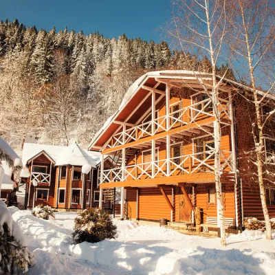 HomesteadHorytsvitVerkhniy Yaseniv5.5 km from White CheremoshHot tubPoolSaunaNearby: Lake Bukovets 5.3 kmBukovelian pass 5.7 km2 trails
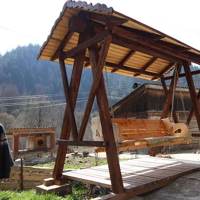 HomesteadHomestead "Karpatyanske Dzherelo" TovarnytsiaTovarnytsia9.7 km from White CheremoshSaunaBBQKitchenNearby: Sych waterfall 2.9 kmProtyate Kaminnya 3.8 km1 trail
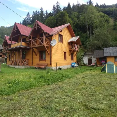 HomesteadHomestead "Hutsulskyi Dvir" MykulychynKryvorivnia10 km from White CheremoshBBQKitchenParkingNearby: Mykhailo Hrushevsky Museum 800 mLake Bukovets 5.5 km5 trails
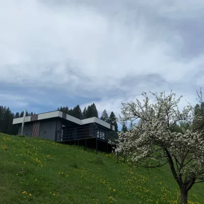 CottageRest in the CarpathiansVerkhovyna13 km from White CheremoshNew modern cottage for a good rest and positive emotions.Nearby: Assumption Church 1.3 kmPolonyna Krinta 6.2 km12 trails
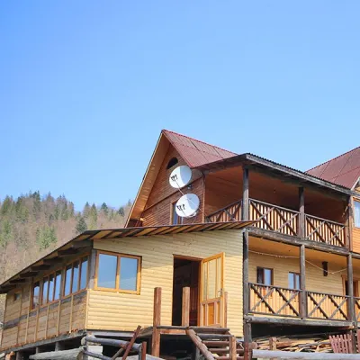 HomesteadHomestead "Tovarnytsia 7 km"Tovarnytsia11 km from White CheremoshSaunaBBQKitchenNearby: Siruchok waterfall 1.5 kmProtyate Kaminnya 3.4 km1 trail
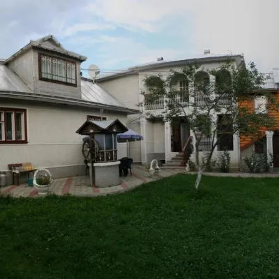 HomesteadHomestead "Perlyna" VerkhovynaVerkhovyna12 km from White CheremoshSaunaBBQWi‑FiNearby: Assumption Church 1000 mMt Bila Kobyla 6.7 km7 trails
Trails nearby
All trails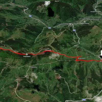 EasyOne-dayUnmarkedPysanyi Kamin Bukovets villageElevation profile774–1 207 m6.9 kmascent 127 m≈ 2 h walking6.5 km from White Cheremosh
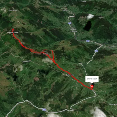 ModerateTwo-dayUnmarkedBukovets village loopvia Pysanyi KaminElevation profile845–1 261 m12.4 kmascent 823 m≈ 4.5 h walking6.6 km from White Cheremosh
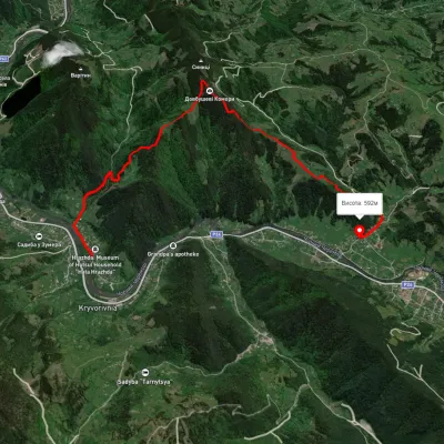 ModerateOne-dayMarkedTo Dovbush ChambersElevation profile554–1 122 m7.9 kmascent 800 m≈ 3.5 h walking7.5 km from White Cheremosh
Nearby attractions
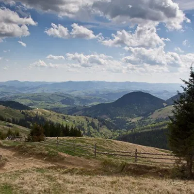 NatureVerkhovynskyi National Nature Park, Verkhniy YasenivVerkhniy Yaseniv8 km from White CheremoshVerkhovyna NNP is the only park in the Ukrainian Carpathians where the oldest metamorphic formations, covered by the Paleozoic and Mesozoic sedimentary cover, come to...
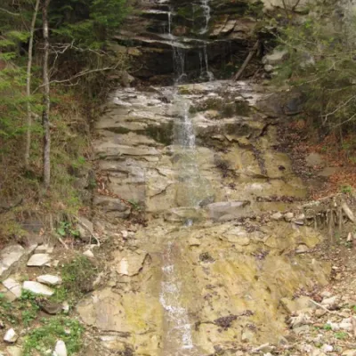 WaterfallWaterfall Kizya, Ust PutilaChernivtsi region8.3 km from White CheremoshA cascade of waterfalls with a height difference of 16 m. Located on a stream - the right tributary of the Biskiv stream.
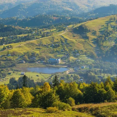 LakeLake Bukovets (Bukovetsky Pass)Bukovets11 km from White CheremoshThe large lake Bukivets is located on the border of Kosiv and Verkhovyna districts. There is a large lake in the center of the village of Bukivets, not far from the...