с. Дземброня, через г. Вухатий Камінь, г. Смотрич до с. Дземброня
About the route:
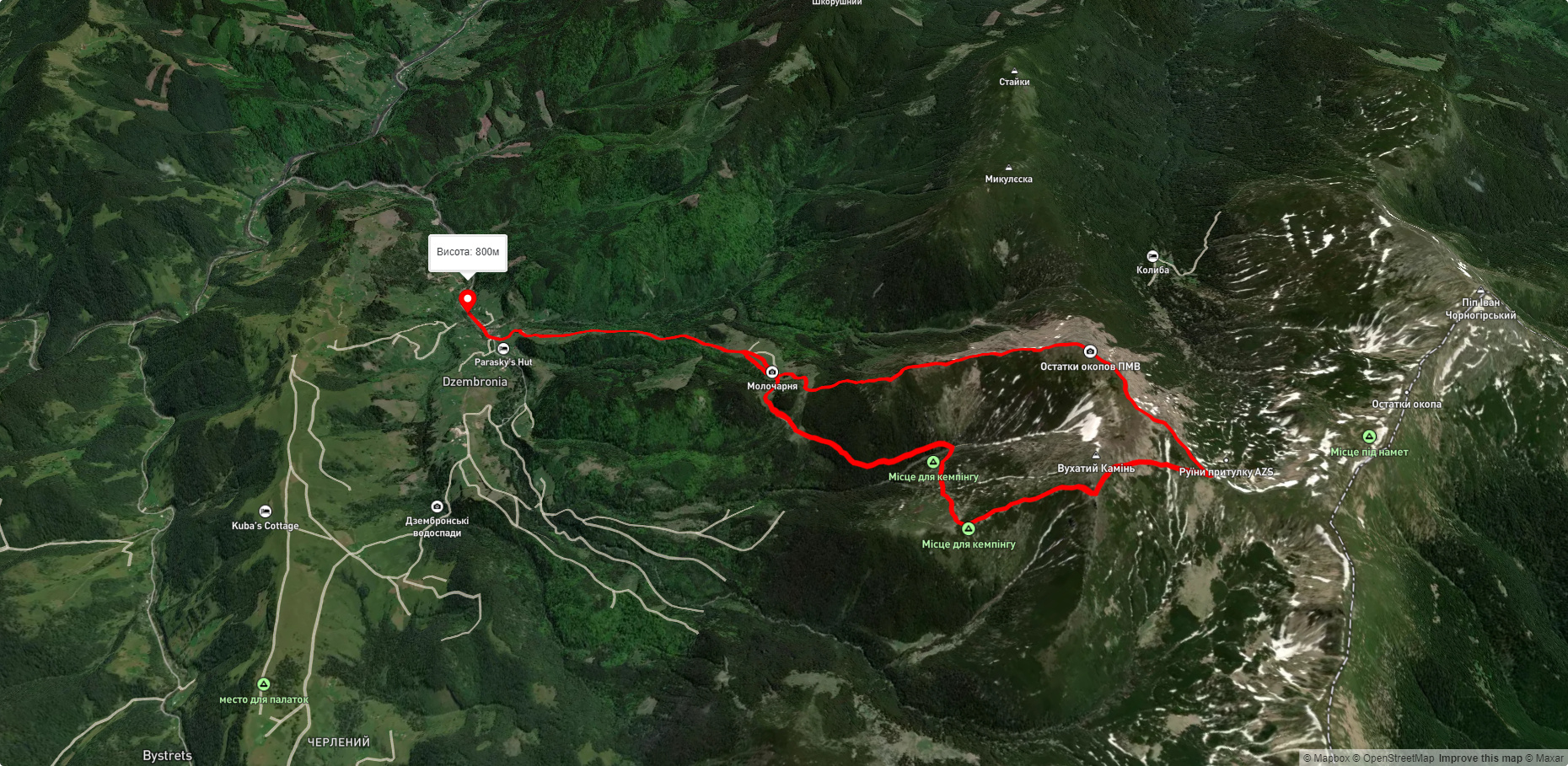
Route с. Дземброня, через г. Вухатий Камінь, г. Смотрич до с. Дземброня. Warning! This route is unmarked (it may be partially marked)! Unmarked routes are not equipped with: information boards; signposts; auxiliary signs (water, campsite, etc.). The decision to take the route is entirely your own responsibility! Trail length 14356m. Lowest point - 844m., highest point - 1933m. Total elevation gain 1203m. Along the route you will see: Гора Смотрич.
🎮 3D hike
Walk this route in 3D
Real terrain, satellite map, Carpathian forests
Play →
To add a comment you can: login or register.
What to see along the route:
48.06947292207556,24.64425712100831 | Altitude: 1898м
Гора Смотрич
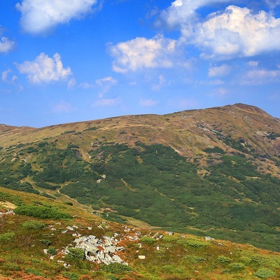 Гора Смотрич (існує ще одна назва – Смотрець) – 1898-метрова вершина Українських Карпат. Розташована в Карпатському національному природному парку на Чорногірському гірському масиві у Верховинському районі Івано-Франківської області.
... More...
Гора Смотрич (існує ще одна назва – Смотрець) – 1898-метрова вершина Українських Карпат. Розташована в Карпатському національному природному парку на Чорногірському гірському масиві у Верховинському районі Івано-Франківської області.
... More...


