с. Корчин – вдсп. Гуркало
About the route:
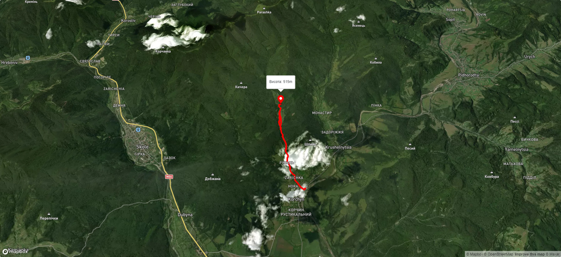
Route с. Корчин – вдсп. Гуркало. Warning! This route is unmarked (it may be partially marked)! Unmarked routes are not equipped with: information boards; signposts; auxiliary signs (water, campsite, etc.). The decision to take the route is entirely your own responsibility! Trail length 6227m. Lowest point - 380m., highest point - 516m. Total elevation gain 204m. Along the route you will see: Водоспад Гуркало .
🎮 3D hike
Walk this route in 3D
Real terrain, satellite map, Carpathian forests
Play →
To add a comment you can: login or register.
What to see along the route:
49.08432245631679,23.47243640154727 | Altitude: 398м
Водоспад Гуркало
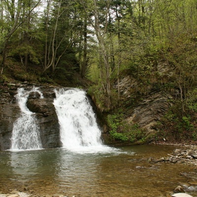 У Гуркала, розташованого на річці Велика Річка, дуже промовиста назва! З нею і не посперечаєшся, особливо, коли в горах починають танути сніги – у цей час будь-який водоспад Карпат може тільки позаздрити міці Гуркала. У цей час уся округа навколо водограю наповнюється «гуркотом» спадаючих з 5-метрової висоти бурхливих весняних потоків…
... More...
У Гуркала, розташованого на річці Велика Річка, дуже промовиста назва! З нею і не посперечаєшся, особливо, коли в горах починають танути сніги – у цей час будь-який водоспад Карпат може тільки позаздрити міці Гуркала. У цей час уся округа навколо водограю наповнюється «гуркотом» спадаючих з 5-метрової висоти бурхливих весняних потоків…
... More...


