Mykulychyn village – Mount Yahidna
Trail map
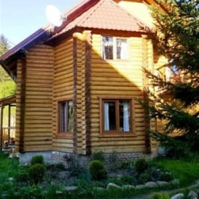
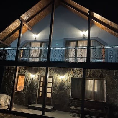
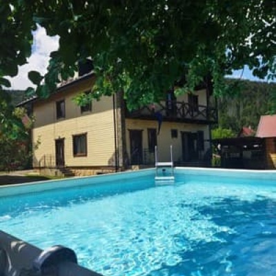
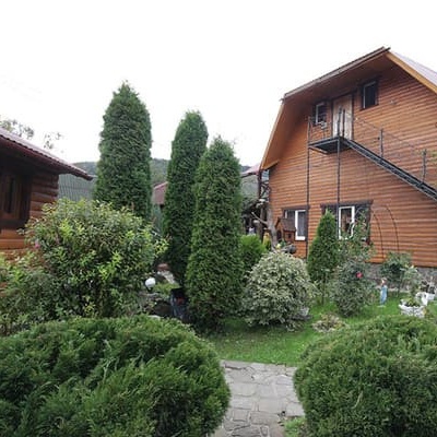
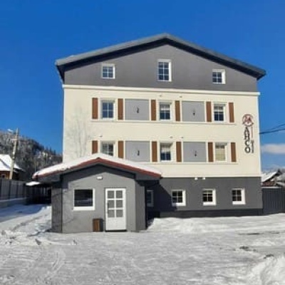
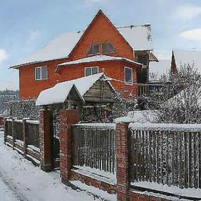
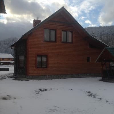
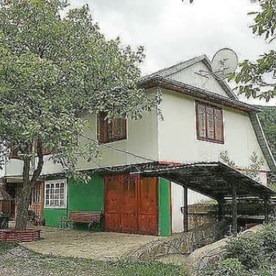
Where to stay nearby
About the trail
Route Mykulychyn village – Mount Yahidna. Has yellow marking (short routes, connecting paths, shortcuts). Along the route you will see: Trinity Church, Mykulychyn, Museum of customary symbols of the Hutsul region (Mykulychyn).
At a glance
A short route of 6.2 km with 595 m of ascent from Mykulychyn village to Mount Yahidna. Estimated walking time: about 2.5 h, not counting stops. Difficulty: easy. Waymarking: yellow.
Route stages
- 0–4.5 kmClimb of 410 m (up to 1,007 m)
- 4.5–6 kmGentle ups and downs at 990–1,080 m
Steepest kilometre: km 2.5–3.5, a climb of 160 m (≈16%).
Water and overnight stays
A spring near the trail: at km 6.
Places to stay near the start: Mykulychyn; near the finish: Tatariv.
When to go
Best time: May to October. In winter deep snow is possible, so experience and winter gear are needed.
Getting there
Start: Mykulychyn village. Most places to stay near the start are in Mykulychyn. This is a one-way route: the finish is 4 km from the start in a straight line, so plan your way back in advance.
FAQ
- How long does the route take?
- Estimated walking time: about 2.5 h, not counting stops.
- Is there water on the route?
- A spring near the trail: at km 6.
- Where can I stay overnight?
- Places to stay near the start: Mykulychyn; near the finish: Tatariv.
Water and shelter on the route
- Spring below Mount Lisniv (3)km 6 from the start · Not verified · 1 090 m
Comments
What to see on the trail
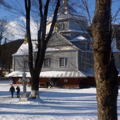 Trinity Church, Mykulychynaltitude 622 mThe church is made entirely of wood in the Hutsul style. The temple is remarkable for its power.
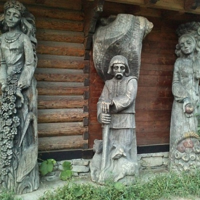 Museum of customary symbols of the Hutsul region (Mykulychyn)altitude 622 mDid you know that the Museum of Customary Symbols of the Hutsul Region (Mykulychyn) and its exhibition are housed in three rooms of an old hut?
Trails nearby
All trails HardMulti-dayMarkedEast Carpathian Tourist TrailElevation profile635–1 819 m278.1 kmascent 14 105 m
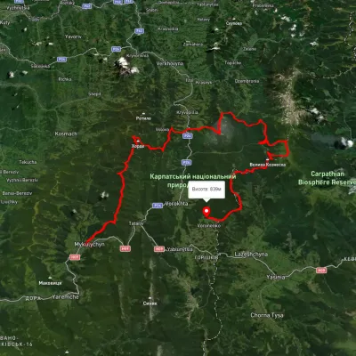 HardMulti-dayUnmarkedMykulychyn village to Voronenko villagevia Mount Khorde, Mount Pozhyzhevska +2Elevation profile585–2 036 m93 kmascent 4 482 m
 ModerateTwo-dayUnmarkedMykulychyn village loopvia Mount YahidnaElevation profile620–1 251 m15.1 kmascent 711 m≈ 5 h walking