Lumshory village — to Zhdeniievo village, via Runa polonyna, Preluka tract, Mount Ostra Hora, Zbyny village
Unmarked trailmore
It may be partly marked. Unmarked trails have no information boards, signposts or auxiliary signs (water, campsite, etc.). The decision to walk the trail is entirely your own responsibility.
Trail map
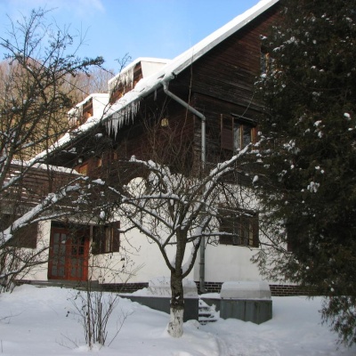
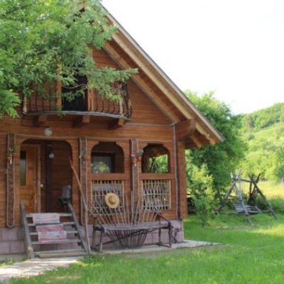
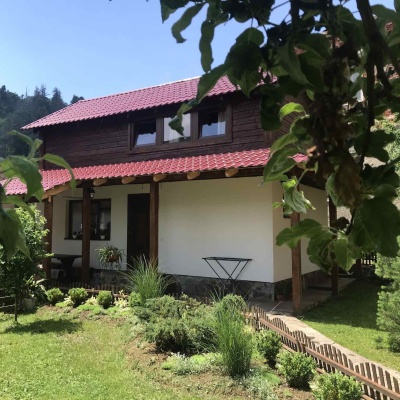
Where to stay nearby
About the trail
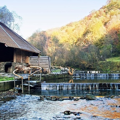
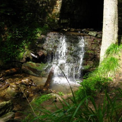
Route Lumshory village, via Runa polonyna, Preluka tract, Mount Ostra Hora and Zbyny village to Zhdeniievo village. Along the route you will see: Lumshory waterfalls.
At a glance
A route of 30 km with 1,519 m of ascent from Lumshory village to Zhdeniievo village. Estimated walking time: about 10 h, not counting stops — a very long day, so it is easier split into 2 days. Difficulty: hard. Waymarking is missing or partial.
Route stages
- 0–10 kmClimb of 930 m to Mount Rivna (1,480 m)
- 10–14 kmDescent of 470 m (down to 923 m)
- 14–16 kmClimb of 320 m (up to 1,247 m)
- 16–23 kmDescent of 680 m (down to 570 m)
- 23–30 kmGentle ups and downs at 390–580 m
Steepest kilometre: km 17–18, a descent of 250 m (≈25%).
Water and overnight stays
A spring near the trail: at km 6. There are no springs between km 6 and 30 — carry at least 4 l of water. Some springs run low or dry up in late summer.
Huts and shelters near the trail: Hut at Lake Komsomolske (km 4). Places to stay near the start: Lumshory; near the finish: Zhdenievo.
A possible split into days:
- Day 1: km 0–13, ≈5 h — overnight: no shelter nearby on the map, bring a tent
- Day 2: km 13–30, ≈5 h — finish
When to go
Best time: May to October. In winter deep snow is possible, so experience and winter gear are needed.
Getting there
Start: Lumshory village. Most places to stay near the start are in Lumshory. This is a one-way route: the finish is 20 km from the start in a straight line, so plan your way back in advance.
FAQ
- How long does the route take?
- Estimated walking time: about 10 h, not counting stops — a very long day, so it is easier split into 2 days.
- Is there water on the route?
- A spring near the trail: at km 6. There are no springs between km 6 and 30 — carry at least 4 l of water. Some springs run low or dry up in late summer.
- Where can I stay overnight?
- Huts and shelters near the trail: Hut at Lake Komsomolske (km 4). Places to stay near the start: Lumshory; near the finish: Zhdenievo.
Water and shelter on the route
- Hut at Lake Komsomolskekm 4.1 from the start · Not verified · 859 m
- Spring (Lypovets, 2)km 6.3 from the start · 90 m off the path · Not verified · 1 233 m
Comments
What to see on the trail
Trails nearby
All trails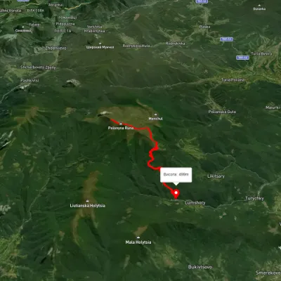 HardTwo-dayUnmarkedLumshory village loopvia Runa polonynaElevation profile489–1 474 m22 kmascent 1 074 m≈ 7.5 h walking
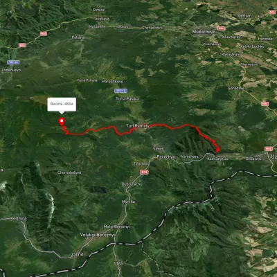 HardMulti-dayMarkedLumshory Nevytske CastleElevation profile176–943 m40.9 kmascent 2 234 m
 ModerateOne-dayUnmarkedLumshory village Mount Liutianska HolytsiaElevation profile443–1 356 m8.8 kmascent 956 m≈ 4 h walking