Hiking routes

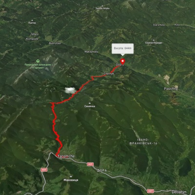
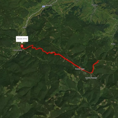
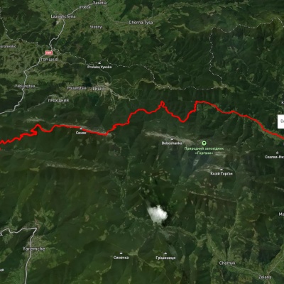
Yaremche, via Divochi Slozy Waterfall and Pereslip Pass to Zelena village
3D map
92 views
Length: 28km
Total ascent: 1040m
Total descent: 954m
Minimum altitude: 519m
Maximum altitude: 996m
More
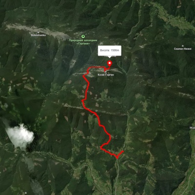
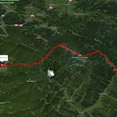
Chernyk village, via Chernyk Waterfall to Mount Kiziiskyi Horhan
3D map
87 views
Length: 11.1km
Total ascent: 1251m
Total descent: 487m
Minimum altitude: 707m
Maximum altitude: 1648m
More
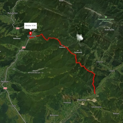
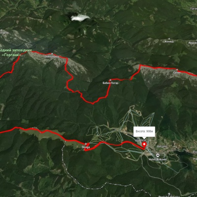
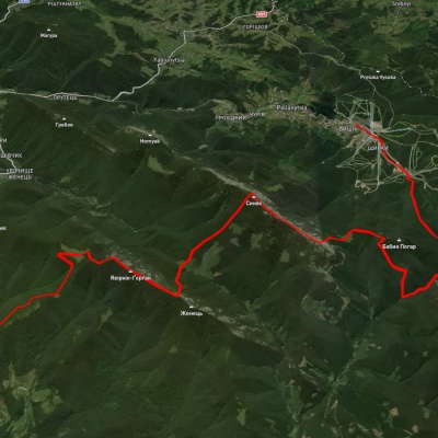
Pasichna village, via Mount Syniachka to Yaremche

Pasichna village, via Mount Syniachka to Yaremche

Three days or more
Unmarked
Passes through peaks: Mount Sinyachka
3D map
97 views
Length: 26.7km
Total ascent: 1206m
Total descent: 1234m
Minimum altitude: 514m
Maximum altitude: 1404m
More
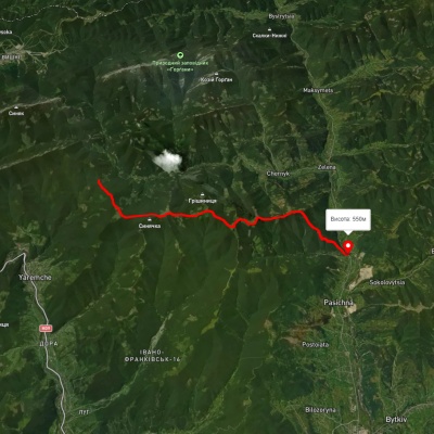
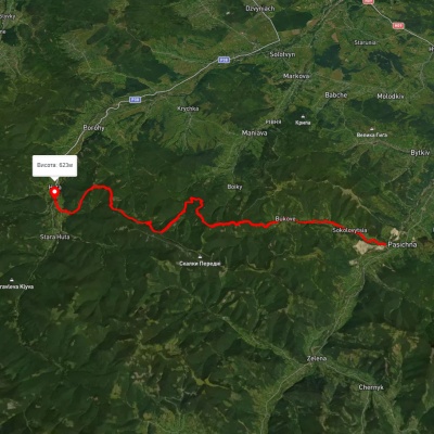
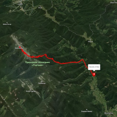
Pasichna village – Pereslop Pass

Pasichna village – Pereslop Pass

Two-day routes
Has green marking.
Passes through peaks: Mount Sinyachka
3D map
122 views
Length: 17.3km
Total ascent: 970m
Total descent: 1392m
Minimum altitude: 548m
Maximum altitude: 1307m
More
Pasichna village, via Mount Syniak and Mount Malyi Horhan to Polianytsia village

Pasichna village, via Mount Syniak and Mount Malyi Horhan to Polianytsia village

Three days or more
Unmarked
Passes through peaks: Mount Sinyachka, Mount Sinyak, Mount Maly Gorgan
3D map
88 views
Length: 33.8km
Total ascent: 2376m
Total descent: 2022m
Minimum altitude: 554m
Maximum altitude: 1655m
More
Huta village – Pasichna village

Huta village – Pasichna village

Three days or more
Has red marking.
3D map
97 views
Length: 26.4km
Total ascent: 2293m
Total descent: 2190m
Minimum altitude: 524m
Maximum altitude: 1217m
More
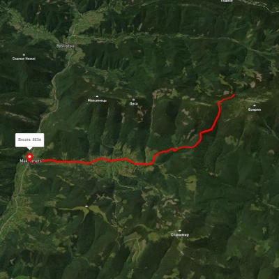
Maksymets village – Stremena polonyna

Maksymets village – Stremena polonyna

One-day routes
Has green marking.
3D map
101 view
Length: 10.8km
Total ascent: 307m
Total descent: 966m
Minimum altitude: 664m
Maximum altitude: 1353m
More
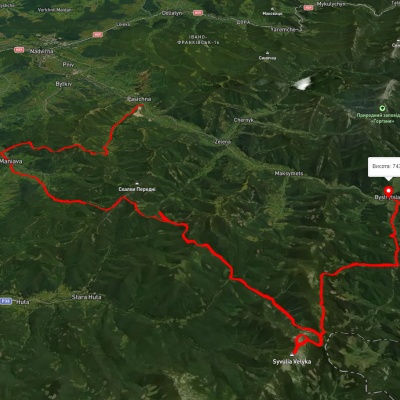
Pasichna village, via Maniava village, Maniava Waterfall and Mount Velyka Syvulia to Bystrytsia village
3D map
110 views
Length: 69.7km
Total ascent: 3340m
Total descent: 3114m
Minimum altitude: 497m
Maximum altitude: 1835m
More
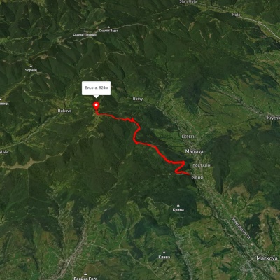
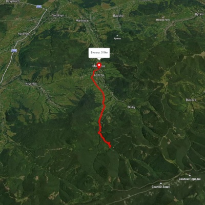
Maniava village - Monastyretska polonyna

Maniava village - Monastyretska polonyna

One-day routes
Has yellow marking.
3D map
109 views
Length: 7.3km
Total ascent: 776m
Total descent: 367m
Minimum altitude: 514m
Maximum altitude: 940m
More
Huta – Poharchyna

Huta – Poharchyna

One-day routes
Has yellow marking.
3D map
97 views
Length: 11km
Total ascent: 1077m
Total descent: 1460m
Minimum altitude: 669m
Maximum altitude: 1269m
More
Bystrytsia village, via Mount Vedmezhyk, Mount Dovbushanka and Divochi Slozy Waterfall to Yaremche

Bystrytsia village, via Mount Vedmezhyk, Mount Dovbushanka and Divochi Slozy Waterfall to Yaremche

Three days or more
Unmarked
Passes through peaks: Mount Vedmezhik, Dovbushanka Mountain
3D map
96 views
Length: 33.8km
Total ascent: 1676m
Total descent: 1879m
Minimum altitude: 522m
Maximum altitude: 1737m
More
Polianytsia village, via Mount Dovbushanka and Mount Vedmezhyk to Bystrytsia village

Polianytsia village, via Mount Dovbushanka and Mount Vedmezhyk to Bystrytsia village

Three days or more
Unmarked
Passes through peaks: Dovbushanka Mountain, Mount Vedmezhik
3D map
93 views
Length: 29.4km
Total ascent: 1315m
Total descent: 1465m
Minimum altitude: 738m
Maximum altitude: 1748m
More
Yablunytsia village, via Khomiakiv polonyna, Mount Syniak, Mount Malyi Horhan, Mount Dovbushanka and Mount Vedmezhyk to Polianytsia village
3D map
95 views
Length: 56.5km
Total ascent: 3091m
Total descent: 2986m
Minimum altitude: 787m
Maximum altitude: 1744m
More
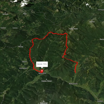
Bystrytsia village, via Mount Vedmezhyk and Mount Dovbushanka to Bystrytsia village

Bystrytsia village, via Mount Vedmezhyk and Mount Dovbushanka to Bystrytsia village

Ring routes
Unmarked
Passes through peaks: Mount Vedmezhik, Dovbushanka Mountain
3D map
90 views
Length: 34.9km
Total ascent: 1505m
Total descent: 1504m
Minimum altitude: 790m
Maximum altitude: 1756m
More
Polianytsia village, via Mount Dovbushanka and Mount Vedmezhyk to Polianytsia village

Polianytsia village, via Mount Dovbushanka and Mount Vedmezhyk to Polianytsia village

Ring routes
Unmarked
Passes through peaks: Dovbushanka Mountain, Mount Vedmezhik
3D map
93 views
Length: 24.3km
Total ascent: 1419m
Total descent: 1419m
Minimum altitude: 893m
Maximum altitude: 1735m
More
Yablunytsia village, via Mount Khomiak, Mount Syniak, Mount Malyi Horhan, Mount Dovbushanka and Mount Vedmezhyk to Bystrytsia village
3D map
95 views
Length: 38.2km
Total ascent: 2270m
Total descent: 2344m
Minimum altitude: 736m
Maximum altitude: 1728m
More
Bystrytsia village, via Mount Vedmezhyk and Mount Dovbushanka to Polianytsia village

Bystrytsia village, via Mount Vedmezhyk and Mount Dovbushanka to Polianytsia village

Three days or more
Unmarked
Passes through peaks: Mount Vedmezhik, Dovbushanka Mountain
3D map
89 views
Length: 25.7km
Total ascent: 1454m
Total descent: 1305m
Minimum altitude: 731m
Maximum altitude: 1733m
More
Mount Syniak, via Mount Malyi Horhan and Mount Dovbushanka to Mount Vedmezhyk

Mount Syniak, via Mount Malyi Horhan and Mount Dovbushanka to Mount Vedmezhyk

One-day routes
Unmarked
Passes through peaks: Mount Sinyak, Mount Maly Gorgan, Dovbushanka Mountain, Mount Vedmezhik
3D map
101 view
Length: 12.3km
Total ascent: 1036m
Total descent: 995m
Minimum altitude: 1009m
Maximum altitude: 1732m
More
Bystrytsia village, via Mount Vedmezhyk, Mount Dovbushanka, Mount Malyi Horhan, Mount Syniak and Khomiakiv polonyna to Zhenets tract
3D map
86 views
Length: 38.5km
Total ascent: 2275m
Total descent: 2295m
Minimum altitude: 650m
Maximum altitude: 1738m
More
Tatariv village, via Mount Syniak, Mount Dovbushanka, Mount Chorna Kleva, Mount Bratkivska, Mount Syvulia, Mount Kinets Horhanu, Mount Popadia and Mount Grofa to Myslivka village
3D map
97 views
Length: 171.1km
Total ascent: 9973m
Total descent: 10072m
Minimum altitude: 671m
Maximum altitude: 1792m
More
Maksymets village, via Mount Hechura, Perenyz Pass and Mount Tavpysh to Bystrytsia village

Maksymets village, via Mount Hechura, Perenyz Pass and Mount Tavpysh to Bystrytsia village

Three days or more
Unmarked
Passes through peaks: Mount Boyarin (Korotkan), Mount Negrova
3D map
84 views
Length: 34.4km
Total ascent: 1612m
Total descent: 1616m
Minimum altitude: 732m
Maximum altitude: 1457m
More
Polianytsia village, via Mount Dovbushanka and Mount Vedmezhyk to Polianytsia village

Polianytsia village, via Mount Dovbushanka and Mount Vedmezhyk to Polianytsia village

Ring routes
Unmarked
Passes through peaks: Dovbushanka Mountain
3D map
104 views
Length: 20.5km
Total ascent: 1191m
Total descent: 1187m
Minimum altitude: 902m
Maximum altitude: 1732m
More
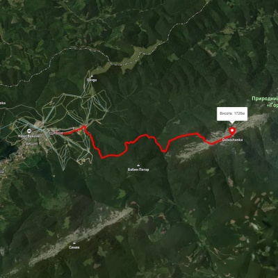
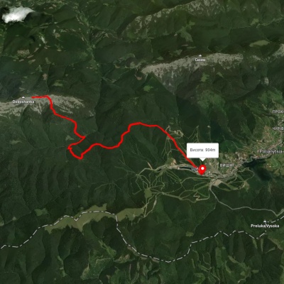
Polianytsia village – Mount Dovbushanka

Polianytsia village – Mount Dovbushanka

One-day routes
Unmarked
Passes through peaks: Dovbushanka Mountain
3D map
83 views
Length: 10.2km
Total ascent: 1082m
Total descent: 246m
Minimum altitude: 902m
Maximum altitude: 1738m
More
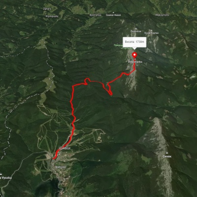
Polianytsia village – Mount Dovbushanka

Polianytsia village – Mount Dovbushanka

One-day routes
Unmarked
Passes through peaks: Dovbushanka Mountain
3D map
92 views
Length: 13.4km
Total ascent: 1180m
Total descent: 333m
Minimum altitude: 886m
Maximum altitude: 1735m
More
Polianytsia village – Mount Dovbushanka – Polianytsia village

Polianytsia village – Mount Dovbushanka – Polianytsia village

Ring routes
Unmarked
Passes through peaks: Dovbushanka Mountain
3D map
95 views
Length: 22.3km
Total ascent: 1556m
Total descent: 1556m
Minimum altitude: 900m
Maximum altitude: 1734m
More
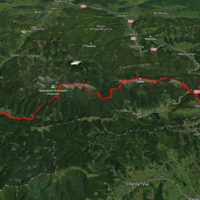
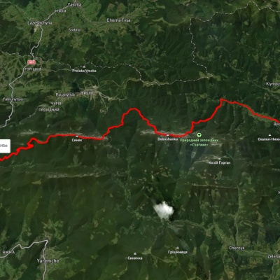
Polianytsia village, via Mount Dovbushanka, Mount Malyi Horhan, Mount Syniak and Mount Yavir-Horhany to Yaremche
3D map
87 views
Length: 33.8km
Total ascent: 2101m
Total descent: 2439m
Minimum altitude: 545m
Maximum altitude: 1736m
More
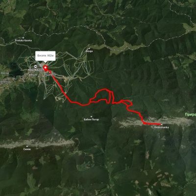
Mount Dovbushanka – Polianytsia village

Mount Dovbushanka – Polianytsia village

One-day routes
Unmarked
Passes through peaks: Dovbushanka Mountain
3D map
97 views
Length: 12.2km
Total ascent: 383m
Total descent: 1168m
Minimum altitude: 904m
Maximum altitude: 1707m
More
Maniava village – Maniava Waterfall

Maniava village – Maniava Waterfall

One-day routes
Has blue marking.
3D map
118 views
Length: 7km
Total ascent: 170m
Total descent: 392m
Minimum altitude: 515m
Maximum altitude: 740m
More
Zhenets tract (Mykulychyn village), via Mount Khomiak, Mount Syniak and Mount Malyi Horhan to Bystrytsia village
3D map
95 views
Length: 45.3km
Total ascent: 1445m
Total descent: 2773m
Minimum altitude: 0m
Maximum altitude: 1618m
More
Yaremche, via Mount Yavirnyk to Polianytsia (Bukovel) village

Yaremche, via Mount Yavirnyk to Polianytsia (Bukovel) village

Three days or more
Unmarked
Passes through peaks: Mount Maly Gorgan
3D map
103 views
Length: 36.1km
Total ascent: 1708m
Total descent: 1362m
Minimum altitude: 553m
Maximum altitude: 1464m
More

The Carpathian Mountains are one of the most beautiful places in Ukraine, attracting people from all over the world. These mountains stretch in the southwest of the country and consist of several mountain ranges, including Montenegro, Svydovets, Gorgany, Marmarosy, Beskydy, and others. Hiking routes in the Carpathians are a great way to experience the beauty of the mountain scenery and enjoy the fresh air. We'll take a look at the most popular routes for beginners and experienced hikers.


The most popular hiking routes in the Carpathians

The route to Mount Hoverla

The route to Mount Hoverla is the most popular route among tourists who come to the Carpathians. It is the highest mountain in Ukraine with a height of 2061 meters. Although the route is not too difficult, tourists should be prepared for long walks. Travel time depends on the route chosen, but on average it takes 5 to 8 hours. The best time to climb Hoverla is in summer or early autumn, when the weather is not as harsh as in winter, when the mountain is covered with snow.

Route to the Pip Ivan Chornohirsky mountain

Mount Pip Ivan Chornohirsky is the third highest mountain in the Carpathians after Hoverla and Brebeneskul. The height of its peak is 2028 meters. Another name for the peak is Chorna Hora, which gave the name to the Chornohora mountain range of the same name. The route to Pip Ivan Chornohirsky is more difficult than to Hoverla. It can take from 8 to 10 hours, depending on the route chosen. Tourists should be prepared to cross steep rocky areas. At the top of the mountain there is a stone tower, an old observatory, which offers a beautiful view of the Carpathians and the Chornohora range.

How to choose a hiking route

First of all, you should determine the level of physical fitness and experience of hiking in the mountains. For beginners, it is recommended to choose easy routes that do not require the use of special equipment. Experienced hikers can choose more difficult routes that include rocky areas and require the use of safety equipment.

It is also worth considering the time of year, as hiking routes in the Carpathians can be dangerous in winter or spring during snowmelt. The safest time for hiking is summer and fall.

You should also consider the length of the route and its complexity. It is not recommended to choose routes that take more than 10 hours if you do not have sufficient experience and physical fitness. For beginners, it is better to choose routes that take from 3 to 6 hours.

When choosing a route, you should also take into account the availability of springs, places for tents, where you can rest and have a snack.

Frequently asked questions about hiking routes in the Carpathians

Do I need special equipment for hiking in the Carpathians?

Some routes in the Carpathians may require special equipment, such as carabiners, a safety belt, ropes, etc. If you do not have enough experience or do not know how to use such equipment, it is better to contact an experienced guide or instructor.

Can I go hiking in the Carpathians on my own?

Yes, you can go hiking in the Carpathians on your own, but you should have sufficient experience and knowledge of the weather conditions and landscape of the region. You also need to be prepared for possible dangers and know how to act in case of emergency.

Is it safe to hike in the Carpathians?

Hiking in the Carpathians can be dangerous, especially in spring and winter. The safest time for hiking is summer and fall, but you should always consider the weather conditions and check the forecast before setting out on the route.

Hiking in the Carpathians is a great way to spend time outdoors, enjoy the panoramas and see the incredible beauty of this region. However, you should be well prepared before setting out on the route, taking into account the complexity of the route, weather conditions, and your own physical abilities. It is better to choose routes according to your abilities and experience, and if necessary, contact an experienced guide or instructor. Remember to be safe and enjoy your outdoor adventures!