Sukha
What to visit
Landmarks, museums and places of interest near Sukha.
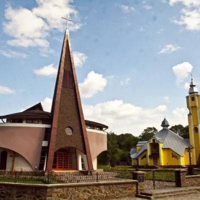 ArchitectureChurch of the Descent of the Holy Spirit, Dovhe6.7 km from the centreThis applies not only to ancient wooden churches, but also to modern ones, such as the Church of the Descent of the Holy Spirit in Dovhe.
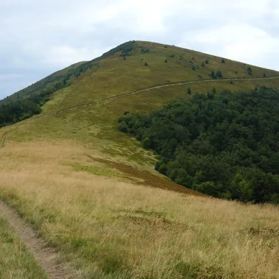 PeakMount Kukaltitude 1 361 m · Borzhava range10 km from the centreKuk is a mountain in the south-eastern part of the Polonyna Borzhava massif in Zakarpattia Oblast. It stands south-west of Mizhhiria and south of the village of...
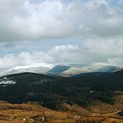 Mountain meadowPolonyna-Kukaltitude 1 189 m · Borzhava range11 km from the centreVery beautiful scenery, there is a spring and places to spend the night with a tent down the road to Mount Cook.
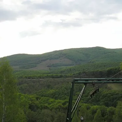 PeakMount Buzhoraaltitude 1 085 m · Volcanic Carpathians range12 km from the centre1 trail to the topMount Buzhora is the highest peak of the Volcanic Ridge of Ukrainian Carpathians. It is located on the Great Dil massif, at the border of Uzhgorod and Irshava...
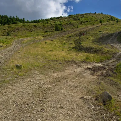 PeakMount Kaminnaaltitude 1 127 m · Borzhava range13 km from the centreKaminna (sometimes called Kamiana) is a 1,127 m summit in the south-eastern part of the Polonyna Borzhava massif in Zakarpattia Oblast, on the stretch of ridge between...
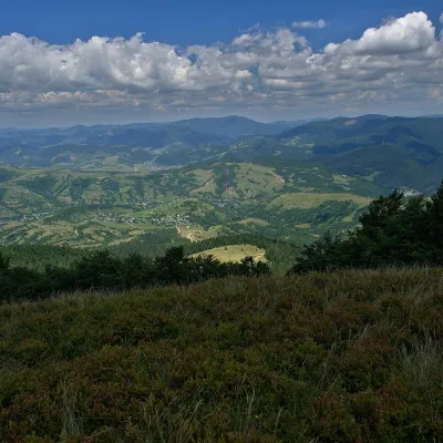 PeakMount Menchul (Mizhhiria)altitude 1 247 m · Borzhava range14 km from the centreMenchul is a 1,247 m summit in the south-eastern part of the Polonyna Borzhava massif in Zakarpattia Oblast.
Where to stay
Hotels, guesthouses and cottages in and around Sukha.
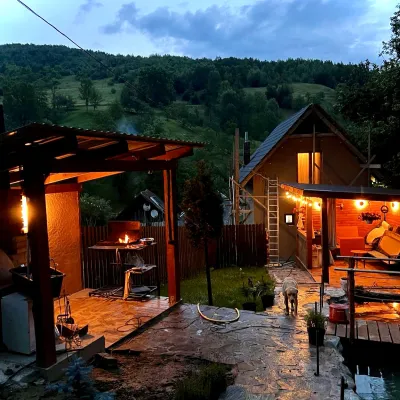 HomesteadPrivate Homestead "Forest House"23 km from the centreThe house is designed for 6 people. Additional places are available.Nearby: St. Michael's Church 7.9 km10 trails
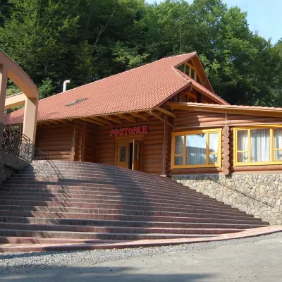 HotelHotel "Zatyshok" Nelypino26 km from the centreSaunaParkingWi‑FiNearby: St. Michael's Church 3.7 km2 trails
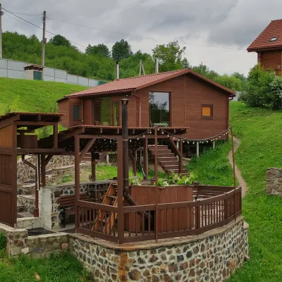 HomesteadEco-house Berdo Svaliava26 km from the centreWe invite you to relax in our eco-house. Our principle is - we are either the best or we don't exist!Nearby: St. Michael's Church 600 mPalace of Counts Schönborn 8.2 km
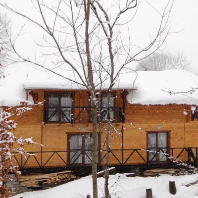 HomesteadHomestead "Dva Braty" Podobovets (sauna, tub)27 km from the centreHot tubSaunaBBQNearby: Shypit Waterfall 2.0 kmMt Gemba 4.5 km16 trails
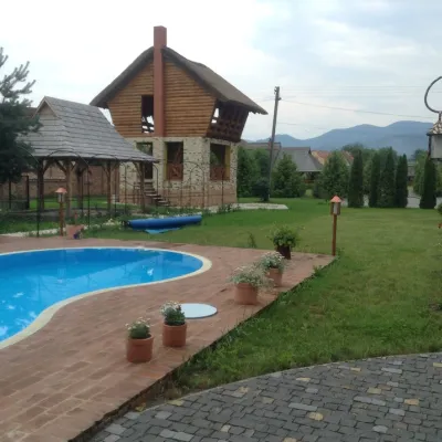 HotelSpa Hotel "Publo" Vyshkovo42 km from the centreHot tubPoolSaunaNearby: Reformed Church 900 mSt. Nicholas Church 6.7 km
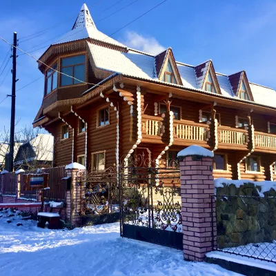 HotelChayna Khata42 km from the centreHot tubBBQKitchen
Trails nearby
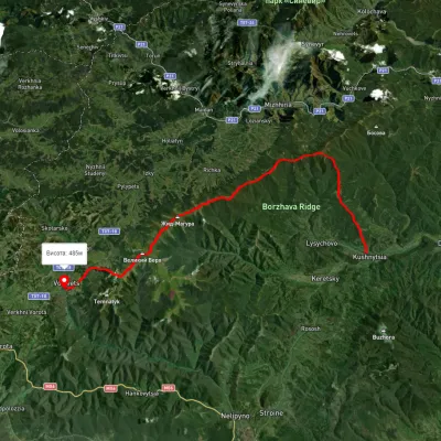 HardMulti-dayUnmarkedKushnytsia village to Volovetsvia Kuk polonyna, Mount Shyrokyi Verkh +3Elevation profile226–1 540 m47.1 kmascent 2 774 m2.5 km from the centre
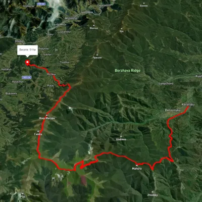 HardMulti-dayUnmarkedKerechky village to Rychka villagevia Mount Stiy, Mount Velykyi Verkh +2Elevation profile254–1 651 m48.3 kmascent 2 525 m11 km from the centre
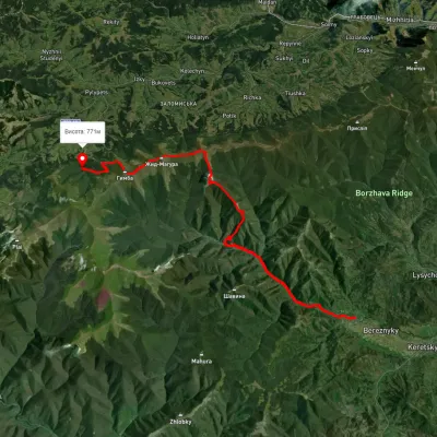 HardMulti-dayUnmarkedBerezniky village to Shypit Waterfallvia Mount Hrab, Mount Zhyd-Mahura +1Elevation profile309–1 509 m25.8 kmascent 1 350 m≈ 9 h walking12 km from the centre
Peaks nearby
PeakMount Kukaltitude 1 361 m · Borzhava range10 km from the centreKuk is a mountain in the south-eastern part of the Polonyna Borzhava massif in Zakarpattia Oblast. It stands south-west of Mizhhiria and south of the village of...PeakMount Buzhoraaltitude 1 085 m · Volcanic Carpathians range12 km from the centre1 trail to the topMount Buzhora is the highest peak of the Volcanic Ridge of Ukrainian Carpathians. It is located on the Great Dil massif, at the border of Uzhgorod and Irshava...PeakMount Kaminnaaltitude 1 127 m · Borzhava range13 km from the centreKaminna (sometimes called Kamiana) is a 1,127 m summit in the south-eastern part of the Polonyna Borzhava massif in Zakarpattia Oblast, on the stretch of ridge between...