смт. Ясіня - г. Петрос
About the route:
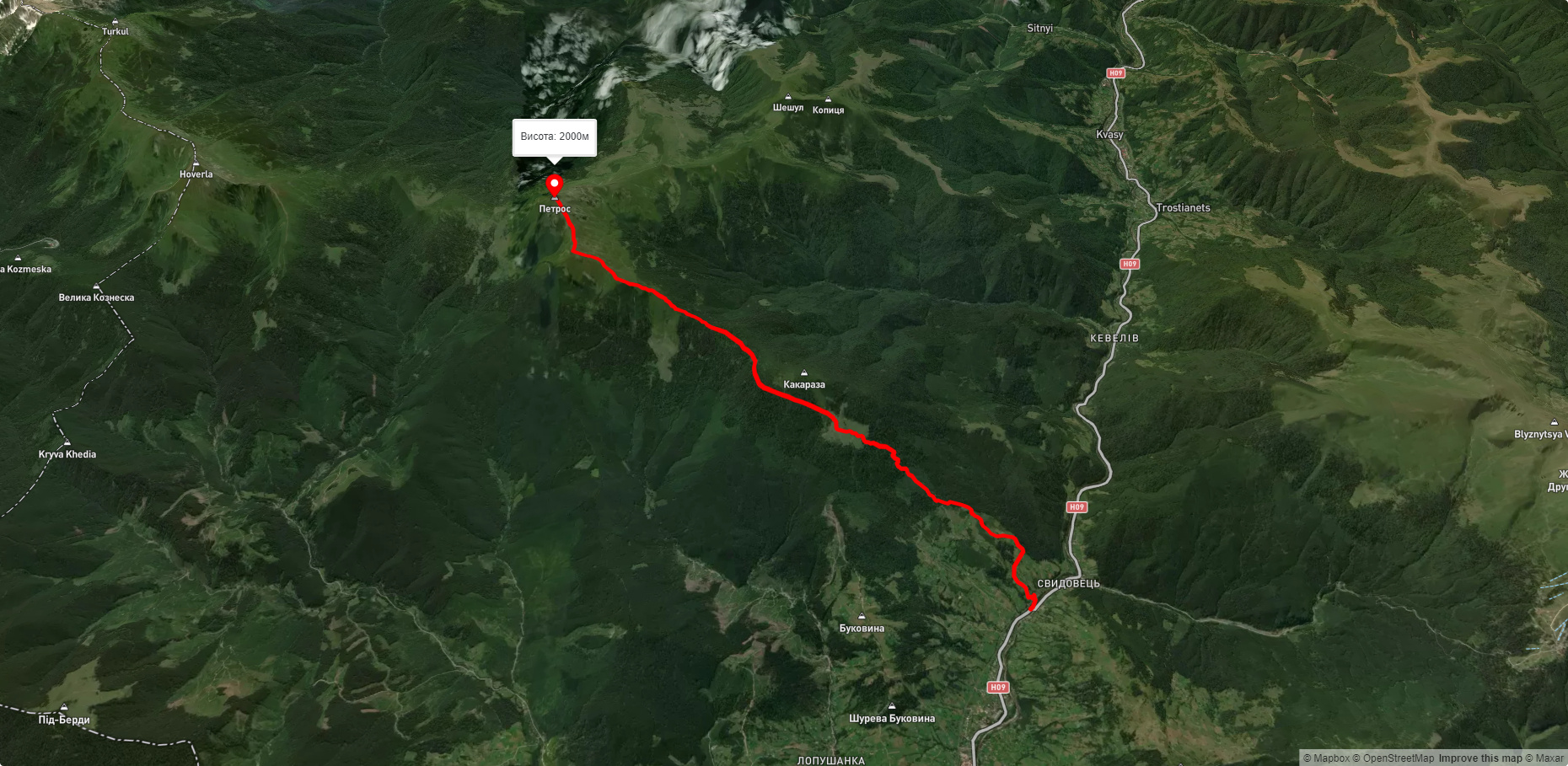
Route смт. Ясіня - г. Петрос. Warning! This route is unmarked (it may be partially marked)! Unmarked routes are not equipped with: information boards; signposts; auxiliary signs (water, campsite, etc.). The decision to take the route is entirely your own responsibility! Trail length 12541m. Lowest point - 631m., highest point - 2023m. Total elevation gain 1467m. Along the route you will see: Гора Петросул, Гора Петрос.
🎮 3D hike
Walk this route in 3D
Real terrain, satellite map, Carpathian forests
Play →
To add a comment you can: login or register.
What to see along the route:
48.18101746825811,24.419016838122598 | Altitude: 1855м
Гора Петросул
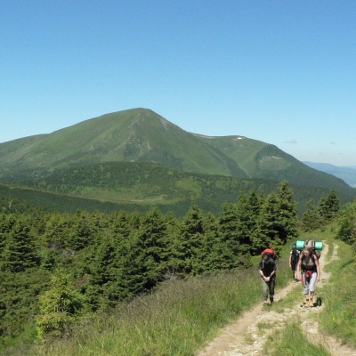 Петросул – 1855-метрова вершина Українських Карпат, яка є «горою-сусідкою» Петроса, оскільки знаходиться «на відстані витягнутої руки» від нього (у північному напрямку).
... More...
Петросул – 1855-метрова вершина Українських Карпат, яка є «горою-сусідкою» Петроса, оскільки знаходиться «на відстані витягнутої руки» від нього (у північному напрямку).
... More...
48.17186346999781,24.421140246313485 | Altitude: 2020м
Гора Петрос
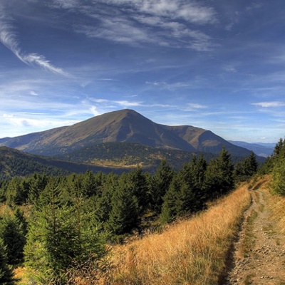 Гора Петрос – четверта за висотою (2020 м) вершина Українських Карпат після Говерли (2061), Бребенескула (2035 м) та Попа Івана Чорногірського (2028 м). Розташована на території Рахівського району Закарпатської області.
... More...
Гора Петрос – четверта за висотою (2020 м) вершина Українських Карпат після Говерли (2061), Бребенескула (2035 м) та Попа Івана Чорногірського (2028 м). Розташована на території Рахівського району Закарпатської області.
... More...


