Ripnensky Stone
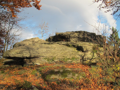
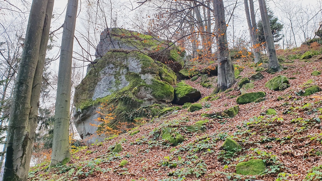
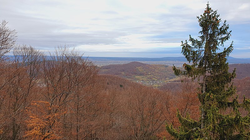
At a distance of 700 meters from the waterfall, there is another tourist attraction - Ripnenskyi Kamen. The maximum height of its rocks is about 15 meters. They are located among the forest on the steep slope of Mount Homotivka. The top of the rocks offers a picturesque view of the surrounding mountains and the valley of the Limnytsia River, one of the cleanest rivers in Europe.
Location: to the west of the village of Ripne, Rozhniativ district.
A group of rocks in the forest on the steep slope of Mount Homotivka (northern edge of the Gorgany massif). The top offers a picturesque view of the surrounding mountains and the Limnytsia River valley.
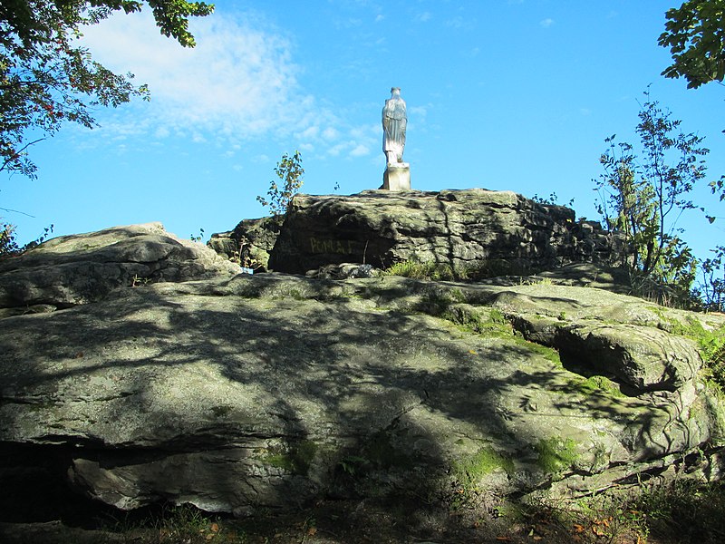
In 2017, local residents installed a statue of the Virgin Mary and the baby Jesus on the top.
The Ripnenskyi Kamen is a group of rocks in the Ukrainian Carpathians (the northern edge of the Gorgany massif). They are located within the Rozhniativ district of Ivano-Frankivsk region, to the west of the village of Ripne.
The maximum height of the rocks is about 15 meters. They are located among the forest on the steep slope of Mount Homotivka (northern edge of the Gorgany massif). They are formed of sandstones. At the foot of the rocks there are several small grottoes. The top of the cliffs offers a picturesque view of the surrounding mountains and the Limnytsia River valley.
To the southeast of the rocks is the Pidhurkalo waterfall.
Location on the map
Comments
Places to stay nearby
All stays HotelHotel SILVER HOUSEIvano-Frankivsk region5.1 km from Ripnensky StoneSilver House features many premises including hotel-apartments, several men's and children's clothing and footwear stores, the café "Zatyshny Dvoryk", beauty salons, a...Nearby: Pidgurkalo waterfall 4.7 kmRipnensky Stone 5.1 km
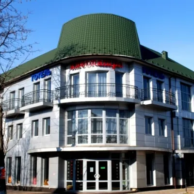 HotelHotel "Kleopatra" PerehinskeRozhnyativ district5.4 km from Ripnensky StoneWi‑FiNearby: Skruntar waterfall 4.7 kmRipnensky Stone 5.4 km
 HomesteadManchela HomesteadVyhoda20 km from Ripnensky StoneThe homestead offers daily accommodation services.Nearby: Carpathian Tram 1.0 kmShyrkovets Swamp 6.7 km
Trails nearby
All trails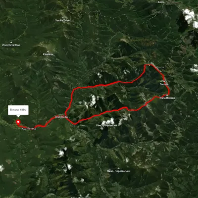 HardMulti-dayUnmarkedOsmoloda village loopvia Plistse polonyna, Mount Koretvyna +2Elevation profile649–1 731 m42.6 kmascent 1 933 m16 km from Ripnensky Stone
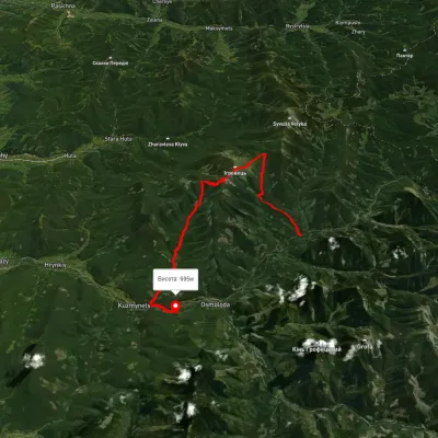 HardTwo-dayUnmarkedOsmoloda village loopvia Mount Ihrovets, Mount VysokaElevation profile680–1 795 m24.8 kmascent 1 185 m≈ 8.5 h walking18 km from Ripnensky Stone
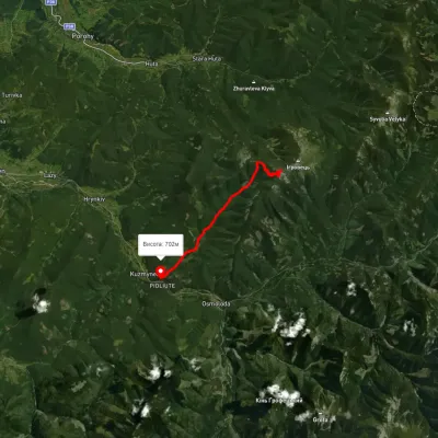 ModerateOne-dayMarkedKuzmynets village Mount VysokaElevation profile693–1 767 m11.1 kmascent 372 m≈ 3.5 h walking18 km from Ripnensky Stone
Nearby attractions
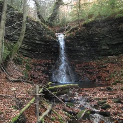 WaterfallPidgurkalo waterfallRipneunder 1 km from Ripnensky StoneThere are also interesting tourist sites that are little known to the general public: Pidhurkalo Waterfall (Ripne village).
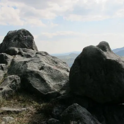 NaturePavlovsky StoneKniazivske3.2 km from Ripnensky StonePavlivskyi Stone is a 30-meter-high geological formation. A group of picturesque rocks in the Ukrainian Carpathians (Gorgany massif).
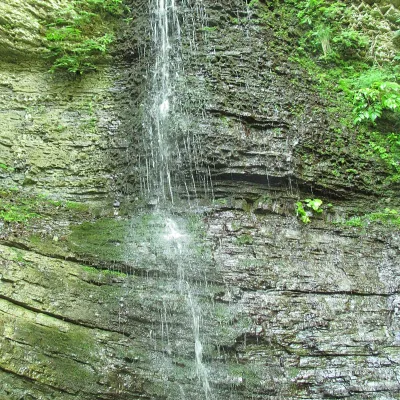 WaterfallSkruntar waterfallZakernychne6.6 km from Ripnensky StoneSkruntar is a waterfall in the Ukrainian Carpathians, on the northern edge of the Gorgany massif. It is located within the Rozhniativ district of Ivano-Frankivsk...