Vilshany Reservoir
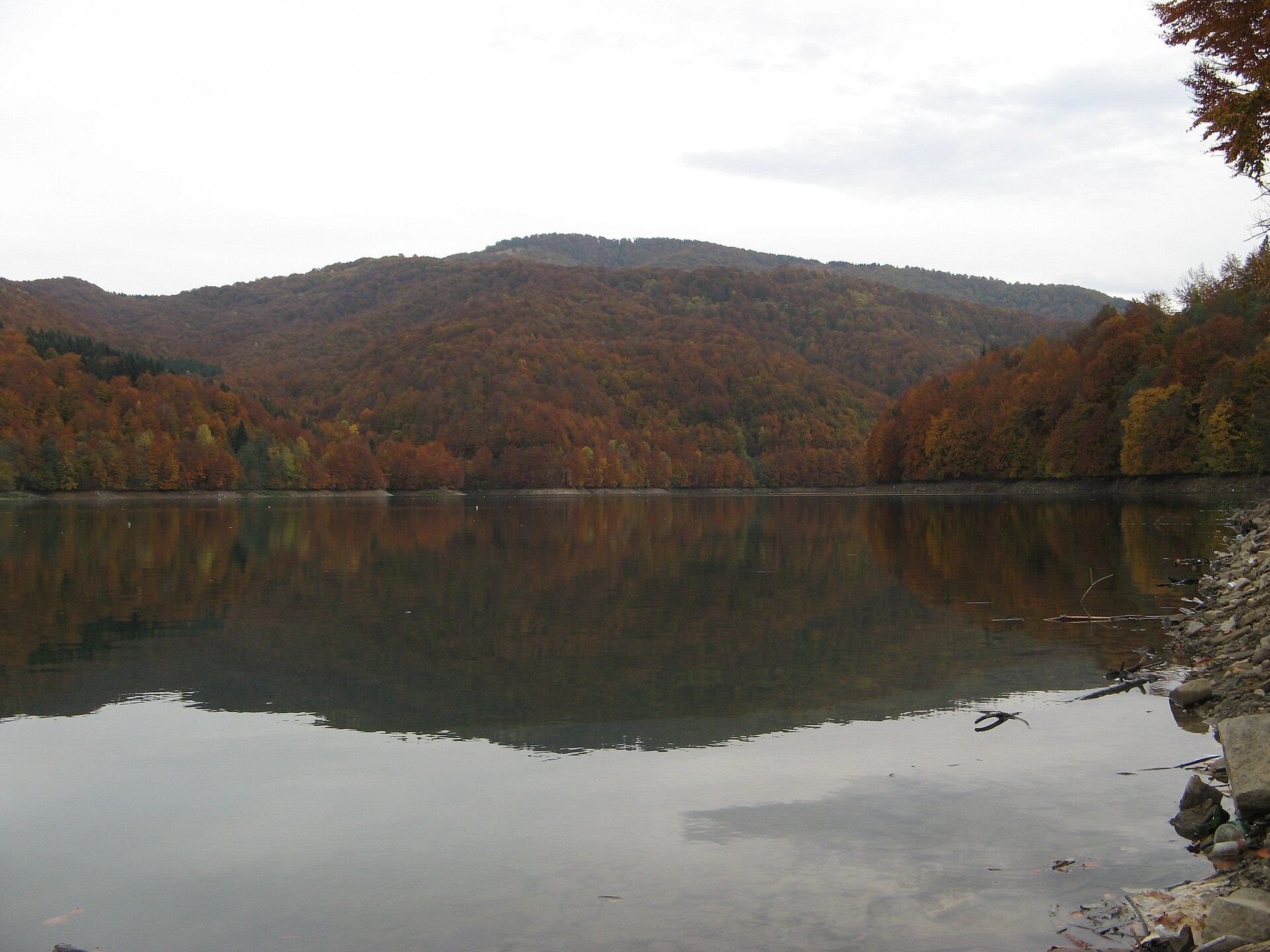
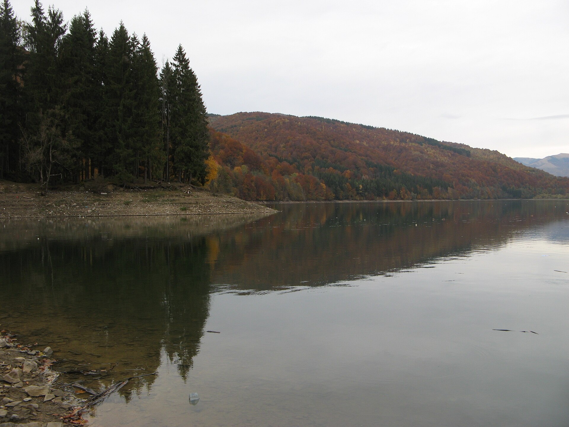
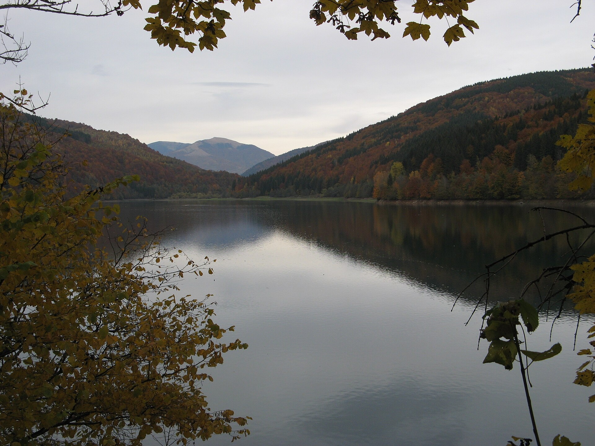
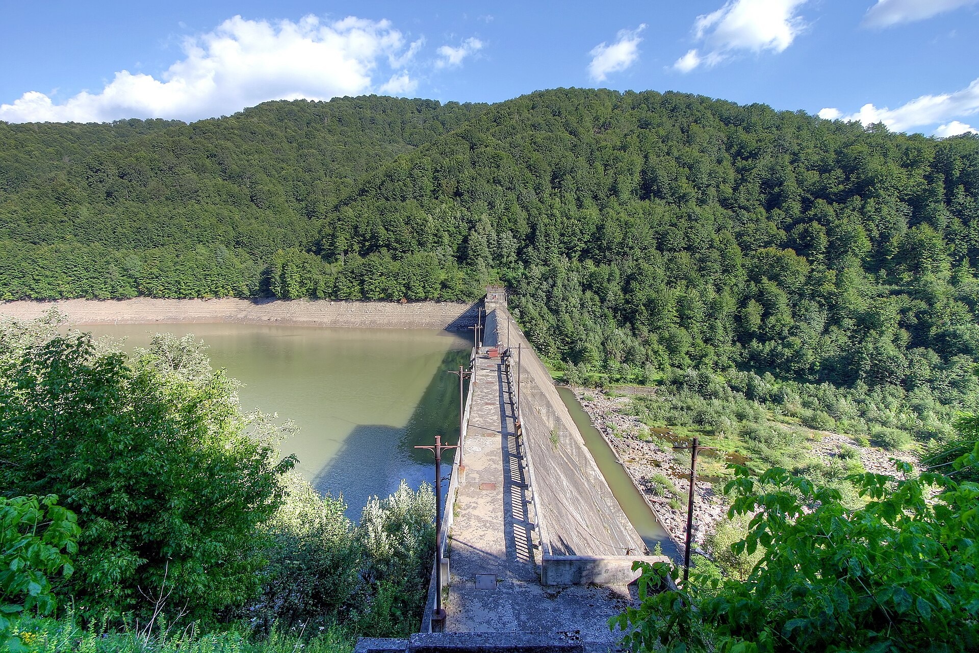
The Vilshany Reservoir, also called the Tereblia-Rika Reservoir, is a narrow mountain lake in the Tereblia valley between Vilshany and Mereshor, below Kolochava. It was created in 1955 by a 46 m dam near Vilshany. Part of its water runs through a 3.7 km tunnel under the mountain to the Tereblia-Rika hydroelectric plant in the Rika valley, which produced its first power in 1956.
- Length: about 10 km
- Area: about 80 ha (72–90 ha depending on the level)
- Volume: 24 million m³
- Maximum depth: 8 m
- Dam: 46 m high, 153 m long
The water level varies, and in summer the reservoir gets shallow. Upstream lies Kolochava with its “Old Village” open-air museum and narrow-gauge railway. The dam is a guarded facility: do not linger or take photos near it.
There are no scientific data on the reservoir’s fish. In 2022 brown trout and Danube salmon, a Red Book species, were released into the Tereblia together with the reservoir. On Zakarpattia reservoirs the spawning ban lasts longer than on rivers — from 1 April to 10 June — but the patrol opens a stretch of the right bank of the Vilshany Reservoir. Details are in the fishing section. All the region’s waters are on the Fishing in the Carpathians page.
Photos: MSha, CC BY-SA 4.0; MSha, CC BY-SA 4.0; MSha, CC BY-SA 4.0; Raimond Spekking, CC BY-SA 4.0 — Wikimedia Commons.
Location on the map
Fishing on the Vilshany Reservoir
A narrow mountain reservoir on the Tereblia between Vilshany and Mereshor. The spawning ban here lasts longer than on rivers, but the patrol keeps the right bank open.
Can I fish now?
- Brown trout — closed until 1 MarchTrout spawning: closed from 10 October to 1 March in the Zakarpattia, Ivano-Frankivsk, Lviv and Chernivtsi regions.Each illegally caught fish costs UAH 7,225 in damages on top of the fine.
- Other species — allowed within the daily limitKeep to the minimum sizes and the daily limit; release protected species.
Limits and rules
The spawning ban on Zakarpattia reservoirs runs from 1 April to 10 June. During this time the patrol allows fishing only from the right bank — from the first access point upstream to the start of the village of Mereshor: from the bank, with one rod with no more than two hooks or a spinning rod. Do not linger or take photos near the power-plant dam.
What to catch
 Brown troutclosed from 10 October to 1 Marchclosed until 1 March
 Pikeclosed from 15 February to 31 Marchallowed
 Perchallowed
We found no scientific studies of the reservoir’s fish. Trout and Danube salmon were released into the Tereblia together with the reservoir in 2022; pike, perch and roach are mentioned only in travel descriptions. In summer the reservoir gets shallow, which harms fish reproduction.
 Danube salmon (huchen)
Red Book of Ukraine species: if one bites, unhook it carefully and release it. Taking one means a fine and compensation for damages.
Bite forecast near Vilshany
- TodaygoodSteady pressure, light wind, partly cloudy1023 hPa · wind up to 13 km/h · 6…11 °C
- TomorrowgoodHigh pressure, light wind, partly cloudy1027 hPa · wind up to 10 km/h · 1…10 °C
- Thursday, 15 OctobergoodHigh pressure, moderate wind, partly cloudy1025 hPa · wind up to 16 km/h · 5…9 °C
For species open now: pike, perch. Brown trout closed. Based on pressure, wind, temperature and cloud — an estimate, not a guarantee.
Fishing spots 16
Places where you can drive up to the water: fish markers on the page map and the list below. Look at the satellite view before you go — the bank may be steep or overgrown.
Closed right now: brown trout — until 1 March.
- By the road, Mereshor (2.2 km)About 110 m to the water from the road. Nearest village: Mereshor, 2.2 km.
- By the road, Mereshor (2.8 km)About 50 m to the water from the road. Nearest village: Mereshor, 2.8 km.
- By the road, Mereshor (3.2 km)About 70 m to the water from the road. Nearest village (straight line): Mereshor, 3.2 km.
- Access road to the water, Vilshany (3.2 km)About 60 m to the water from an access road. Nearest village (straight line): Vilshany, 3.2 km.Nature reserve (zakaznyk) — check the fishing rules
- Dirt-road access, Mereshor (2.8 km)The road comes almost to the water. Nearest village: Mereshor, 2.8 km.
- By the road, Vilshany (2.8 km)About 70 m to the water from the road. Nearest village: Vilshany, 2.8 km.Nature reserve (zakaznyk) — check the fishing rules
- Dirt-road access, Mereshor (3.2 km)The road comes almost to the water. Nearest village (straight line): Mereshor, 3.2 km.
- Dirt-road access, Vilshany (2.6 km)About 30 m to the water from a dirt road. Nearest village: Vilshany, 2.6 km.
Show all spots (16)
- Dirt-road access, Vilshany (3.0 km)The road comes almost to the water. Nearest village (straight line): Vilshany, 3.0 km.
- Dirt-road access, Mereshor (2.5 km)The road comes almost to the water. Nearest village: Mereshor, 2.5 km.
- Stream mouth, MereshorThe road comes almost to the water. Nearest village: Mereshor, 1.3 km.
- Stream mouth, MereshorThe road comes almost to the water. Nearest village: Mereshor, 1.0 km.National park — fishing only in designated sections, check with the park
- Dirt-road access, Mereshor (2.0 km)The road comes almost to the water. Nearest village: Mereshor, 2.0 km.
- By the road, MereshorAbout 40 m to the water from the road. Nearest village: Mereshor, 1.3 km.
- Dirt-road access, Mereshor (1.6 km)About 70 m to the water from a dirt road. Nearest village: Mereshor, 1.6 km.
- By the road, Mereshor (1.8 km)About 40 m to the water from the road. Nearest village: Mereshor, 1.8 km.Nature reserve (zakaznyk) — check the fishing rules
Spots are marked from open data (roads and ways to the water, OpenStreetMap); if a spot is inconvenient or inaccessible, let us know. © OpenStreetMap, ODbL.
Springs: Recreational Fishing Rules (Order No. 700 of the Ministry of Agrarian Policy); Zakarpattia fisheries patrol: spawning ban on reservoirs until 10 June 2026; Zakarpattia fisheries patrol: trout ban from 10 October 2026; Zakarpattia fisheries patrol: fish stocking report 2022; Eurofest: Vilshany Reservoir, a gem among the Zakarpattia mountains (in Ukrainian); Wikipedia (uk): Vilshany Reservoir; Wikipedia (uk): Tereblia-Rika hydroelectric plant; Ihor Melika: the Tereblia-Rika plant, a strategic facility in the Carpathians (in Ukrainian); Weather forecast: MET Norway (CC BY 4.0). Rules may change — check the current orders of the fisheries patrol.
Comments
Places to stay nearby
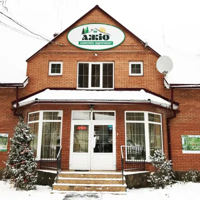 HotelRecreation Complex "Azhio" Mykulychyn Village7 km from Vilshany ReservoirSaunaKitchenTransferNearby: Holy Spirit Church 1.2 kmMt Negrovets 7.8 km9 trails
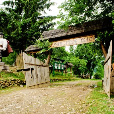 HotelComplex "Stare Selo" Mykulychyn7.3 km from Vilshany ReservoirParkingTransferNearby: Holy Spirit Church 200 mMt Strymba 6.9 km10 trails
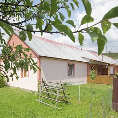 CottageCottage "Yalivets" Kolochava7.3 km from Vilshany ReservoirHot tubBBQKitchenNearby: Holy Spirit Church 1.7 kmMt Negrovets 7.3 km9 trails
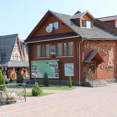 HotelHotel Complex "Trembita" Mykhyhirya16 km from Vilshany ReservoirPoolSaunaSPANearby: Church of Peter and Paul 3.1 kmSynevyr Pass 8.3 km4 trails
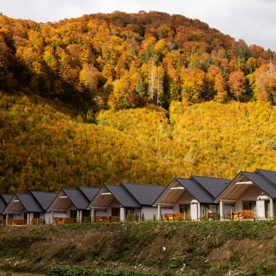 CottageCottages Mizhhirya Mountain Resort17 km from Vilshany ReservoirRest in the mountains: Cottage village in Mykulychyn ? Looking for a comfortable place for family or friends?Nearby: Church of Peter and Paul 4.2 kmPolonyna-Kuk 6.7 km4 trails
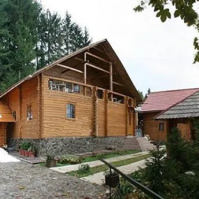 HotelHotel "Non-Stop"17 km from Vilshany ReservoirSaunaBBQParkingNearby: Church of Peter and Paul 1.9 kmSynevyr Pass 7.4 km4 trails
Trails nearby
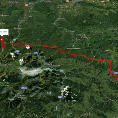 HardMulti-dayUnmarkedSkotarske village to Vilshanske reservoirvia Borzhava polonyna, Palenyi Hrun polonynaElevation profile315–1 504 m72.3 kmascent 3 487 munder 1 km from Vilshany Reservoir
 ModerateTwo-dayUnmarkedMount Topas to Kolochava villagevia Mereshor villageElevation profile459–1 531 m21.8 kmascent 434 m≈ 6.5 h walkingunder 1 km from Vilshany Reservoir
 HardMulti-dayUnmarkedUst-Chorna village to Kolochava villagevia Mount Klymova, Mount Syhlianskyi +1Elevation profile522–1 558 m42.1 kmascent 1 698 m≈ 14 h walking3.2 km from Vilshany Reservoir
Nearby attractions
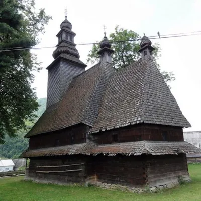 ChurchHoly Spirit Church, Kolochava7.4 km from Vilshany ReservoirTheChurch of the Holy Spirit is a wooden church-museum located on a hill near the main road among the spruce trees in the village of Kolochava, Mizhhiria district,...
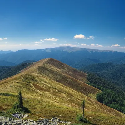 PeakMount Manchulaltitude 1 501 m · Borzhava range8 km from Vilshany Reservoir1 trail to the topMount Manchul (also known as Mount Menchul, Polonyna Manchul) is a 1501-meter peak in the Ukrainian Carpathians.
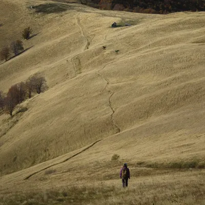 PeakMount Topasaltitude 1 548 m · Svydovets range8.1 km from Vilshany ReservoirTopas is a mountain in the Ukrainian Carpathians, in the Polonyna Krasna massif, Tiachiv district of Zakarpattia Oblast.