Opir River
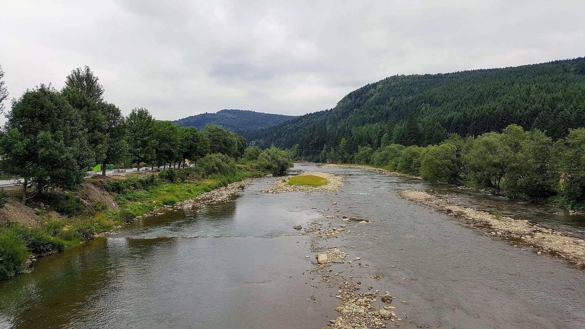
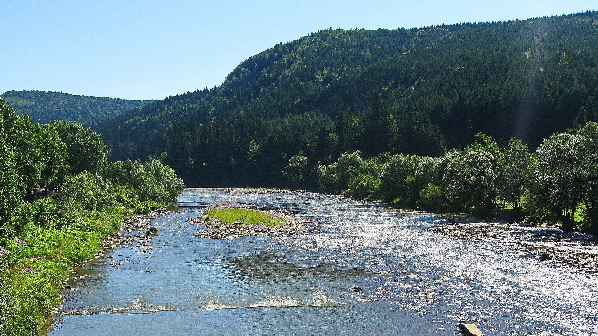
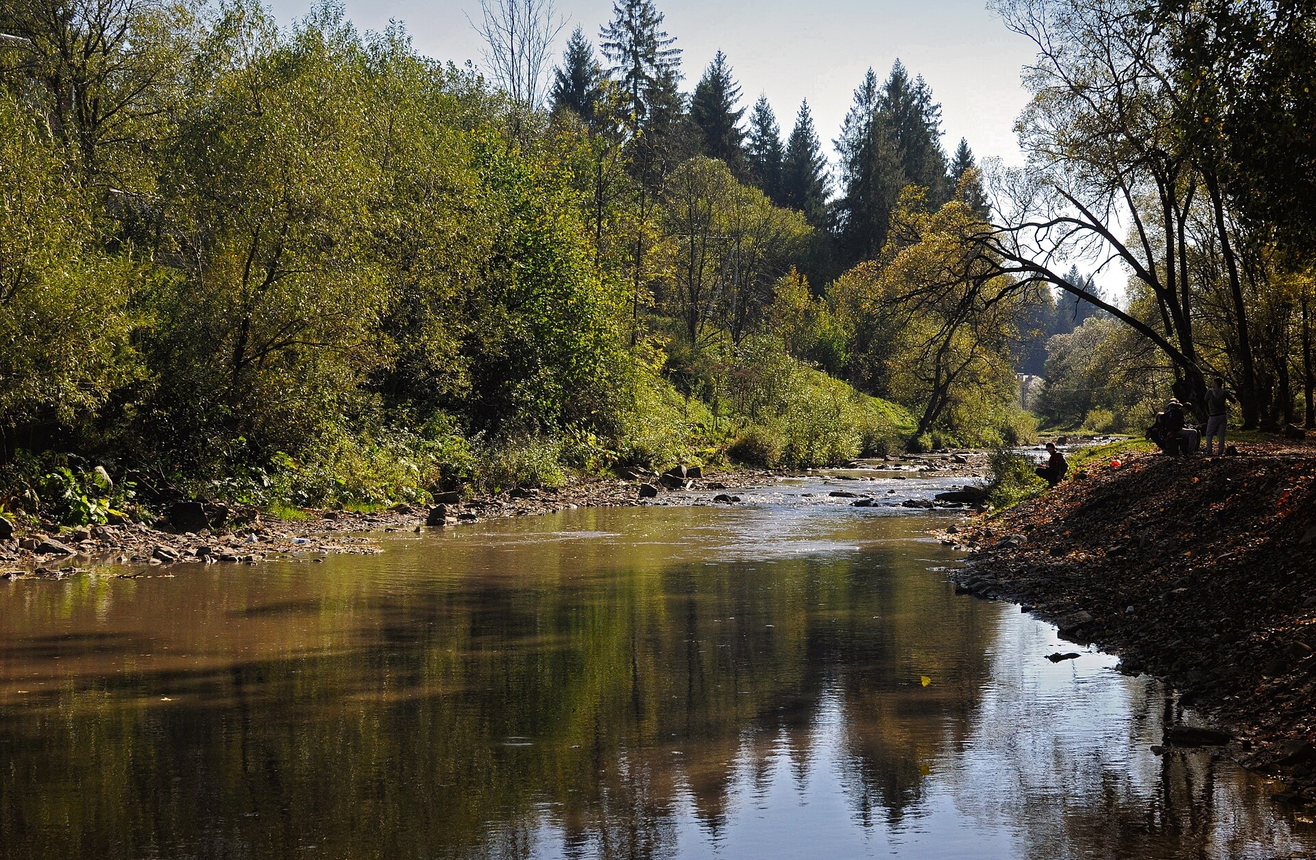
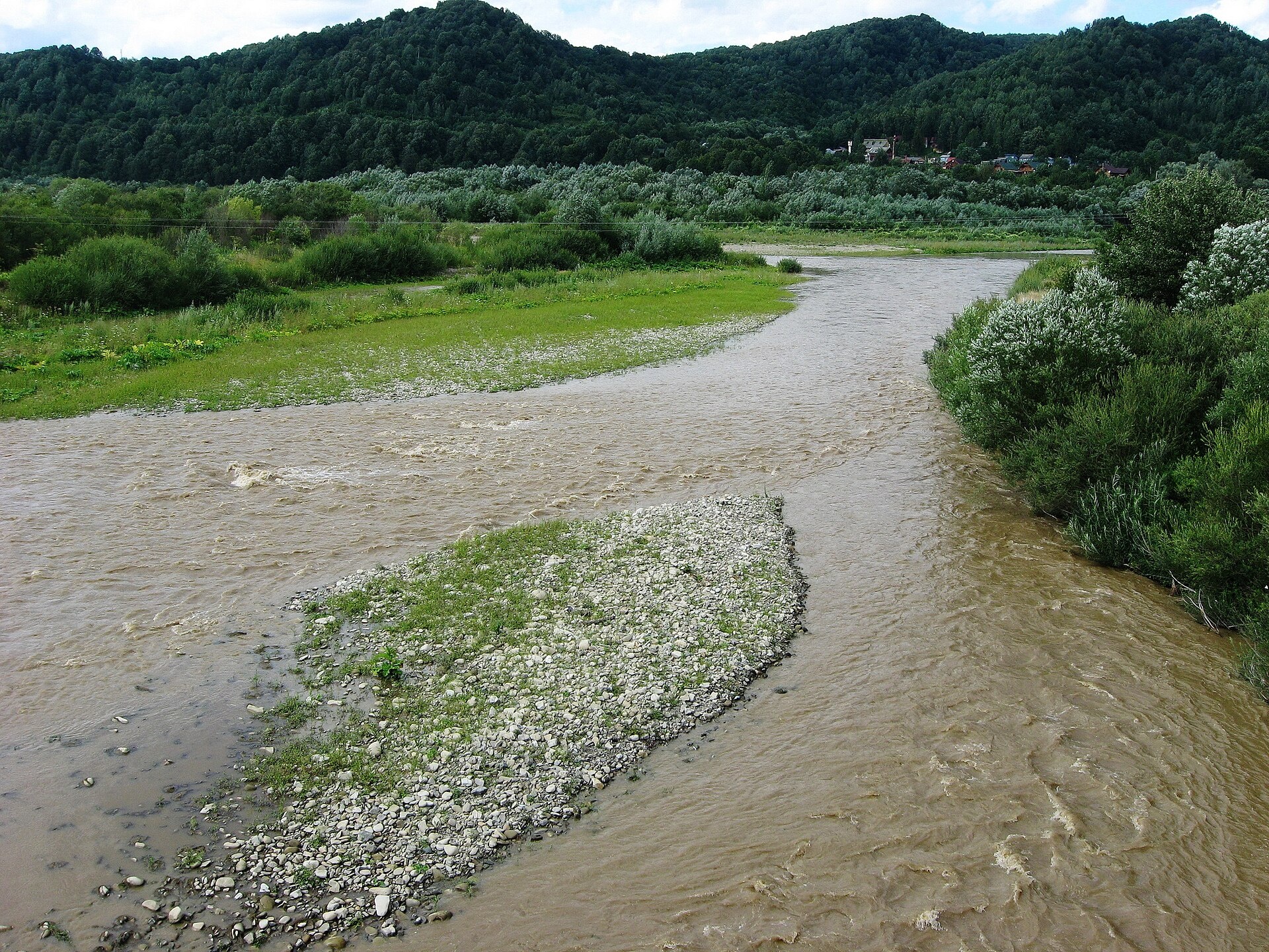
The Opir is a 58-km mountain river of the Skole Beskids. It rises on the eastern slope of Mount Velykyi Yavirnyk, south of the village of Oporets, flows through Lavochne, Slavske, Tukhlia, Hrebeniv, Skole and Dubyna, and joins the Stryi between Verkhnie Synovydne and Mezhybrody.
The Opir is the second-largest river of the Skolivski Beskydy National Nature Park. The valley between Tukhlia and Hrebeniv is narrow and scenic; in the 1930s Hrebeniv had a trout hatchery for 100,000 fry. In spring rafts start from Slavske, in summer from Skole. On the Kamianka tributary inside the park is the Kamianka waterfall.
The main fish of the Opir is brown trout: it lives along the whole river and in the Kamianka and Butyvlia tributaries, and spawns in October. Chub also occur. The Red Book grayling, barbel, nase, dace and burbot live here too and may not be taken. The Opir belongs to the Dniester basin, so the spawning closure runs from 1 April to 10 June, and trout are protected from 10 October to 1 March. Fishing in the park is paid. Details are in the fishing section; other rivers are on Fishing in the Carpathians.
- Length: 58 km
- Catchment: 843 km²
- Source: Mount Velykyi Yavirnyk, south of Oporets
- Mouth: the Stryi between Verkhnie Synovydne and Mezhybrody
- Oblast: Lviv
Photos: IrynaPe, CC BY-SA 4.0; Петроченко Віктор Іванович, CC BY 4.0; Sofiya Hunchyk, CC BY-SA 3.0; Петроченко Віктор Іванович, CC BY 4.0 — Wikimedia Commons.
Location on the map
Fishing on the Opir
The Opir is a mountain river of the Skole Beskids flowing through Slavske, Tukhlia and Skole to the Stryi. Its main fish is brown trout, and the Red Book grayling lives in its tributaries.
Can I fish now?
- Brown trout — closed until 1 MarchTrout spawning: closed from 10 October to 1 March in the Zakarpattia, Ivano-Frankivsk, Lviv and Chernivtsi regions.Each illegally caught fish costs UAH 7,225 in damages on top of the fine.
- Other species — allowed within the daily limitKeep to the minimum sizes and the daily limit; release protected species.
Limits and rules
The Opir itself is not stocked by the state: trout are released into the Stryi near the Opir mouth (1,402 fry in 2025, funded by donations).
Skolivski Beskydy National Nature Park
The Opir is the park’s second-largest river. Recreational fishing is only possible in the regulated recreation zone; under the park’s price list (2021) it costs UAH 50 per rod. The park does not publish a list of fishing stretches, so contact its administration before fishing.
What to catch
 Brown troutthe whole river and the Kamianka and Butyvlia tributaries · closed from 10 October to 1 Marchclosed until 1 March
 Chuballowed
According to Skolivski Beskydy park surveys in 2003–2006, the most numerous fish of the Opir are spirlin and minnow; vimba also occurs. Nase spawn in the Opir in late April and early May. These data are old, and there is no recent complete fish list for the river.
 Grayling
 Barbel
 Nase
Nase Common dace
 Burbot
Red Book of Ukraine species: if one bites, unhook it carefully and release it. Taking one means a fine and compensation for damages.
Bite forecast near Skole
- TodayfairHigh pressure, light wind, cold1026 hPa · wind up to 12 km/h · 2…5 °C
- TomorrowgoodHigh pressure, light wind, partly cloudy1026 hPa · wind up to 14 km/h · 1…9 °C
- Thursday, 15 OctoberfairHigh pressure, moderate wind, cold1026 hPa · wind up to 15 km/h · 3…5 °C
For species open now: chub. Brown trout closed. Based on pressure, wind, temperature and cloud — an estimate, not a guarantee.
Fishing spots 58
Places where you can drive up to the water: fish markers on the page map and the list below. Look at the satellite view before you go — the bank may be steep or overgrown.
Closed right now: brown trout — until 1 March.
- Local-road access, Oporets (4.2 km)About 130 m to the water from a local road. Nearest village (straight line): Oporets, 4.2 km.
- Dirt-road access, Oporets (2.9 km)About 50 m to the water from a dirt road. Nearest village: Oporets, 2.9 km.
- Dirt-road access, Oporets (1.8 km)About 60 m to the water from a dirt road. Nearest village: Oporets, 1.8 km.
- Stream mouth, OporetsAbout 70 m to the water from a dirt road. Nearest village: Oporets, 890 m.
- By the road, OporetsThe road comes almost to the water. Village: Oporets.
- Stream mouth, OporetsThe road comes almost to the water. Nearest village: Oporets, 740 m.
- By the road, Oporets (1.6 km)About 40 m to the water from the road. Nearest village: Oporets, 1.6 km.
- By the bridge, LavochneThe road comes almost to the water. Bridge 40 m away. Nearest village: Lavochne, 1.4 km.
Show all spots (58)
- By the road, LavochneThe road comes almost to the water. Nearest village: Lavochne, 900 m.
- By the bridge, LavochneThe road comes almost to the water. Bridge 60 m away. Nearest village: Lavochne, 1.2 km.
- By the road, TernavkaThe road comes almost to the water. Nearest village: Ternavka, 1.1 km.
- Stream mouth, TernavkaThe road comes almost to the water. Village: Ternavka.
- By the road, TernavkaAbout 60 m to the water from the road. Village: Ternavka.
- By the road, TernavkaThe road comes almost to the water. Nearest village: Ternavka, 1.3 km.
- By the bridge, Ternavka (2.2 km)The road comes almost to the water. Bridge 110 m away. Nearest village: Ternavka, 2.2 km.
- By the road, Slavsko (2.2 km)About 30 m to the water from the road. Nearest village: Slavsko, 2.2 km.
- Access from a village street, SlavskoAbout 80 m to the water from the street. Nearest village: Slavsko, 1.2 km.
- By the road, SlavskoAbout 40 m to the water from the road. Village: Slavsko.
- Access from a village street, SlavskoAbout 40 m to the water from the street. Village: Slavsko.
- By the road, SlavskoAbout 50 m to the water from the road. Nearest village: Slavsko, 1.3 km.
- Access from a village street, Slavsko (2.2 km)About 70 m to the water from the street. Nearest village: Slavsko, 2.2 km.
- By the road, Slavsko (2.9 km)About 80 m to the water from the road. Nearest village: Slavsko, 2.9 km.
- By the road, Lybokhora (3.5 km)The road comes almost to the water. Nearest village (straight line): Lybokhora, 3.5 km.
- Dirt-road access, Lybokhora (2.8 km)About 90 m to the water from a dirt road. Nearest village: Lybokhora, 2.8 km.
- Dirt-road access, Lybokhora (2.1 km)About 40 m to the water from a dirt road. Nearest village: Lybokhora, 2.1 km.
- Stream mouth, Lybokhora (2.1 km)The road comes almost to the water. Nearest village: Lybokhora, 2.1 km.
- By the road, Tukhlia (1.7 km)About 140 m to the water from the road. Nearest village: Tukhlia, 1.7 km.
- By the bridge, TukhliaAbout 30 m to the water from an access road. Bridge 70 m away. Nearest village: Tukhlia, 850 m.
- By the bridge, TukhliaAbout 60 m to the water from a dirt road. Bridge 100 m away. Village: Tukhlia.
- Stream mouth, TukhliaAbout 90 m to the water from the street. Nearest village: Tukhlia, 840 m.
- Dirt-road access, Tukhlia (1.8 km)About 70 m to the water from a dirt road. Nearest village: Tukhlia, 1.8 km.
- Stream mouth, Tukhlia (2.8 km)About 100 m to the water from the street. Nearest village: Tukhlia, 2.8 km.
- Stream mouth, Hrebeniv (3.4 km)About 100 m to the water from the road. Nearest village (straight line): Hrebeniv, 3.4 km.
- By the road, Hrebeniv (2.6 km)About 40 m to the water from the road. Nearest village: Hrebeniv, 2.6 km.
- Dirt-road access, Hrebeniv (2.6 km)About 40 m to the water from a dirt road. Nearest village: Hrebeniv, 2.6 km.National park — fishing only in designated sections, check with the park
- Dirt-road access, Hrebeniv (1.7 km)About 50 m to the water from a dirt road. Nearest village: Hrebeniv, 1.7 km.
- Access from a village street, HrebenivAbout 140 m to the water from the street. Nearest village: Hrebeniv, 800 m.
- Access road to the water, HrebenivAbout 50 m to the water from an access road. Village: Hrebeniv.
- Stream mouth, HrebenivThe road comes almost to the water. Nearest village: Hrebeniv, 1.1 km.
- Dirt-road access, Hrebeniv (2.1 km)The road comes almost to the water. Nearest village: Hrebeniv, 2.1 km.
- By the road, Hrebeniv (2.9 km)About 60 m to the water from the road. Nearest village: Hrebeniv, 2.9 km.
- Stream mouth, Korostiv (3.0 km)About 60 m to the water from the main road. Nearest village (straight line): Korostiv, 3.0 km.
- Access road to the water, Korostiv (3.4 km)About 90 m to the water from an access road. Nearest village (straight line): Korostiv, 3.4 km.
- By the main road, Skole (3.3 km)About 50 m to the water from the main road. Nearest village (straight line): Skole, 3.3 km.
- Access road to the water, Skole (2.4 km)About 60 m to the water from an access road. Nearest village: Skole, 2.4 km.
- Mouth of the Dubrivka tributary, SkoleAbout 70 m to the water from a local road. Nearest village: Skole, 1.4 km.
- Dirt-road access, SkoleAbout 50 m to the water from a dirt road. Village: Skole.
- Mouth of the Chudyliv tributary, SkoleAbout 80 m to the water from a dirt road. Nearest village: Skole, 760 m.
- Stream mouth, SkoleAbout 80 m to the water from the road. Nearest village: Skole, 1.2 km.
- By the main road, DubynaAbout 110 m to the water from the main road. Nearest village: Dubyna, 1.4 km.
- By the road, DubynaAbout 40 m to the water from the road. Village: Dubyna.
- Dirt-road access, DubynaAbout 130 m to the water from a dirt road. Nearest village: Dubyna, 830 m.
- Dirt-road access, Dubyna (1.5 km)About 80 m to the water from a dirt road. Nearest village: Dubyna, 1.5 km.
- Dirt-road access, Dubyna (2.4 km)About 100 m to the water from a dirt road. Nearest village: Dubyna, 2.4 km.
- Dirt-road access, Pobuk (1.7 km)About 90 m to the water from a dirt road. Nearest village: Pobuk, 1.7 km.
- Dirt-road access, PobukAbout 90 m to the water from a dirt road. Nearest village: Pobuk, 1.1 km.
- Access from a village street, TyshivnytsiaAbout 110 m to the water from the street. Nearest village: Tyshivnytsia, 1.2 km.
- Local-road access, Verkhnie SynovydneAbout 110 m to the water from a local road. Village: Verkhnie Synovydne.
Spots are marked from open data (roads and ways to the water, OpenStreetMap); if a spot is inconvenient or inaccessible, let us know. © OpenStreetMap, ODbL.
Springs: Recreational Fishing Rules (Order No. 700 of the Ministry of Agrarian Policy); State Fisheries Agency, Ivano-Frankivsk: trout spawning; State Fisheries Agency, Ivano-Frankivsk: spawning ban; Law on the Nature Reserve Fund of Ukraine, art. 16, 18, 21; Wikipedia (uk): Opir (river); Skolivski Beskydy National Park: fish and their habitats; Skolivski Beskydy National Park: paid services (2021); State Fisheries Agency: fish stocking, data.gov.ua (CC BY); Kharchenko V. et al. Records of protected animal species in Ukraine (GBIF, CC BY 4.0); Red Book of Ukraine animal list (Ministry of Environment Order No. 29, 2021); Weather forecast: MET Norway (CC BY 4.0). Rules may change — check the current orders of the fisheries patrol.
Comments
Where anglers can stay
Stays offering fishing within 2 km of the river
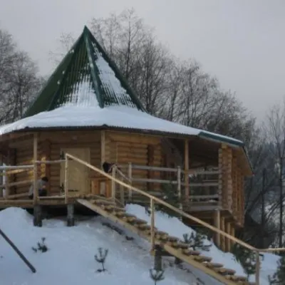 HotelCottage "4 Seasons" Slavsko (apitherapy, sauna, tub and pool)under 1 km from the riverHot tubPoolSaunaNearby: Mt Vysokyi Verkh 6.9 km1 trail
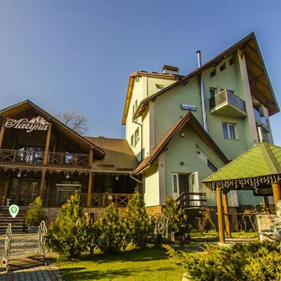 HotelHotel "Lahuna" Mykulychynunder 1 km from the riverPoolSaunaBBQNearby: Mt Vysokyi Verkh 7.3 km1 trail
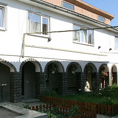 HomesteadСадиба "Над опором" Сколеunder 1 km from the riverBBQKitchenParkingNearby: Gredl Palace 1.4 kmKamianka waterfall 4.0 km24 trails
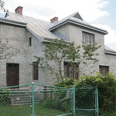 HomesteadСадиба "Незабудка" Сколеunder 1 km from the riverBBQKitchenParkingNearby: Gredl Palace 1.4 kmKamianka waterfall 4.0 km24 trails
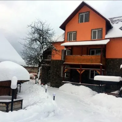 HomesteadСадиба "Рокса" Славськеunder 1 km from the riverPoolBBQKitchenNearby: Mt Vysokyi Verkh 7.1 km1 trail
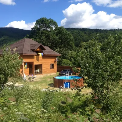 CottageGuest House "Pid Dubom" Dubynaunder 1 km from the riverPoolBBQKitchenNearby: Kamianka waterfall 2.9 kmLake Zhuravlyne 3.1 km26 trails
Trails nearby
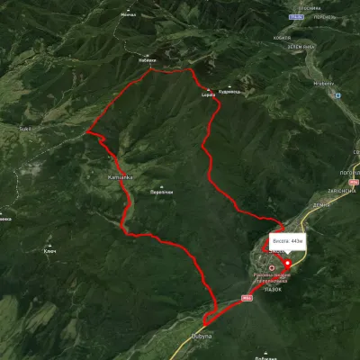 HardMulti-dayUnmarkedSkole loopvia Mount Lopata, Mount Khom +3Elevation profile420–1 248 m31.4 kmascent 1 276 m≈ 10.5 h walkingunder 1 km from Opir River
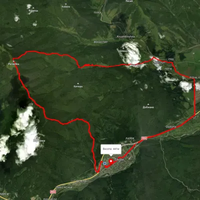 HardMulti-dayUnmarkedSkole loopvia Mount Parashka, Hurkalo Waterfall +1Elevation profile392–1 263 m38.1 kmascent 1 304 m≈ 12 h walkingunder 1 km from Opir River
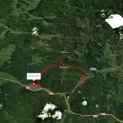 ModerateTwo-dayUnmarkedHrebeniv village to Skolevia Mount Kudriavets, Mount LopataElevation profile419–1 228 m18 kmascent 1 055 m≈ 6.5 h walkingunder 1 km from Opir River
Nearby attractions
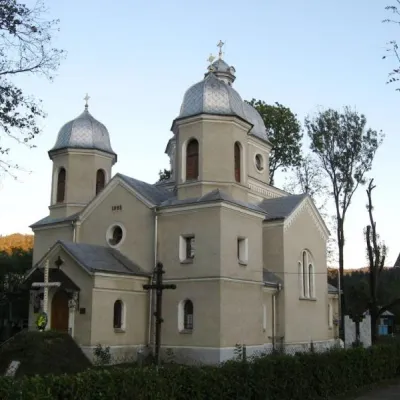 ChurchChurch of the Nativity of the Virgin Mary, Skoleunder 1 km from Opir RiverThe Church of the Nativity of the Virgin Mary appeared in Skole in 1896. Before it was built, there was only one wooden church in the small town, surrounded by...
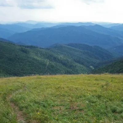 SightSkole Beskydy National Nature Park1.3 km from Opir RiverSkole Beskydy is a land of rugged, majestic mountains that proudly stretch over 35 thousand hectares. Waterfalls, an ancient fortress, forest lakes, springs of healing...
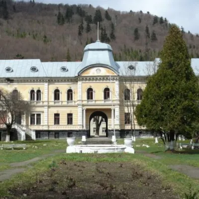 ArchitectureGredl Palace, Skole2.3 km from Opir RiverCaptivates with its sacred architecture Gredl Palace. The park is now home to rare species of trees that are under special protection, including: double-lobed gingo,...