Mount Topas
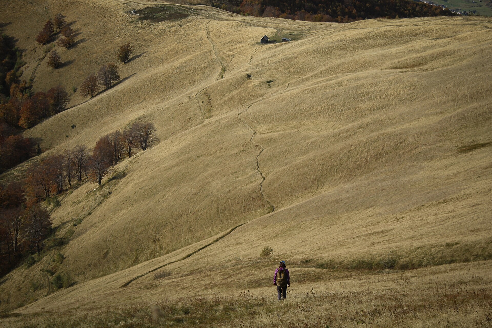
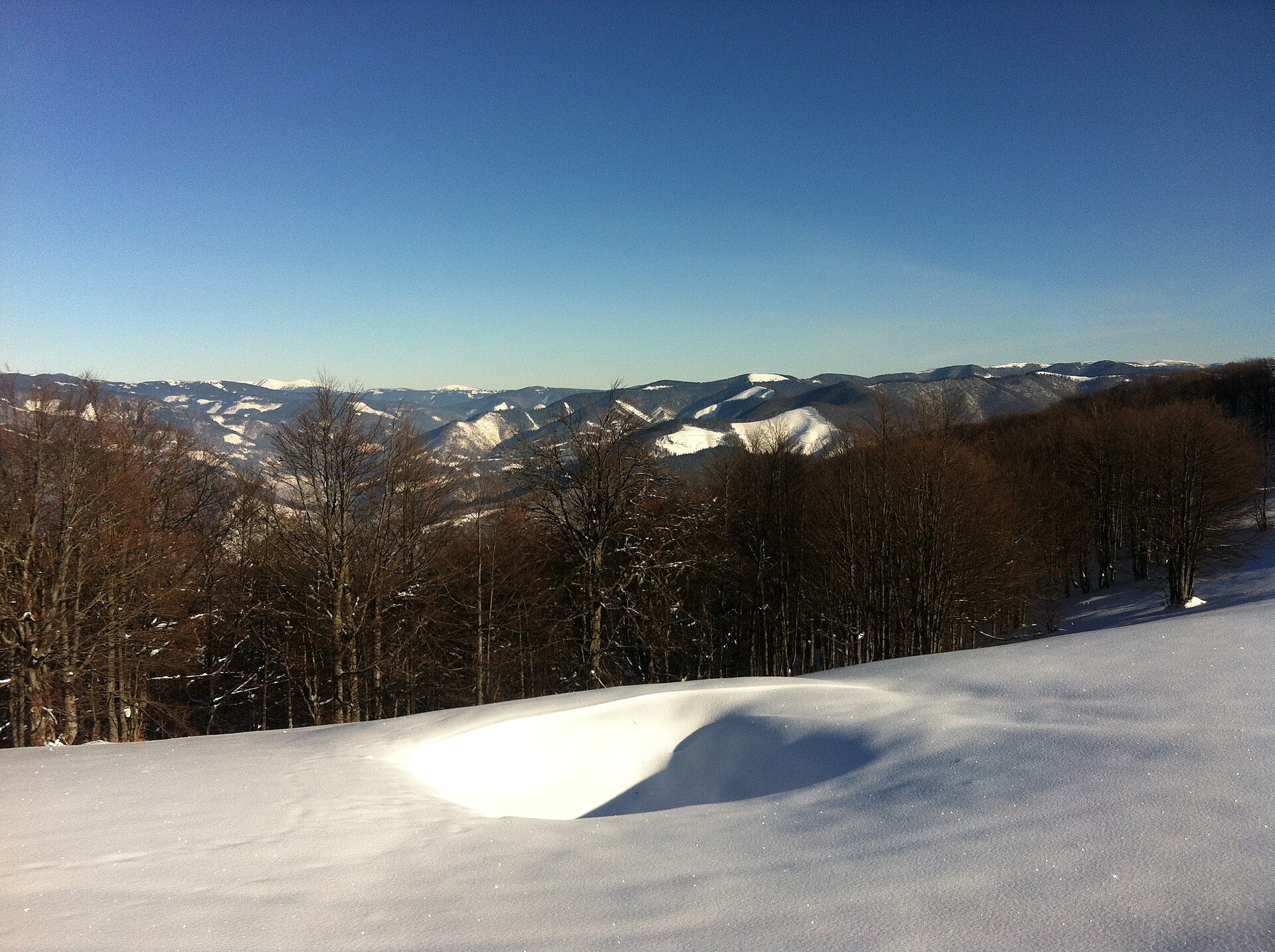
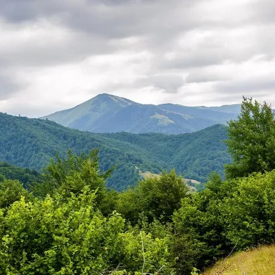
Topas is a mountain in the Ukrainian Carpathians, in the Polonyna Krasna massif, Tiachiv district of Zakarpattia Oblast. It is 1548 m high. The nearest village is Kolochava, starting point of the most popular ascent; Pryslip and Mereshor are also close.
Up to 1100–1200 m the slopes are covered mainly with beech forest, and higher up stretch mountain meadows (polonyny). The summit is open, so the views are wide: the Svydovets massif to the east, the Manchul massif to the south-west and the Pyshkonia ridge to the north-west. A notable landmark of Topas is the tall tower on its summit (reportedly about 65 m high), visible from far away.
From Topas you can follow the crest to the highest peak of the massif, Syhlanskyi (1564 m), and on to Mount Klymova (1492 m) and the village of Ust-Chorna. Polonyna Krasna stretches from north-west to south-east between the Tereblia and Mokrianka valleys.
How to get there
The shortest option is the loop Kolochava – Mount Topas – Kolochava: 16.2 km with about 1000 m of ascent. Another option is the descent through the hamlet of Mereshor: Mount Topas – Mereshor – Kolochava (21.8 km). To walk the whole Krasna ridge, take Ust-Chorna – Klymova – Syhlanskyi – Topas – Kolochava (42.1 km), which also crosses Syhlanskyi, the highest peak of the massif.
Water, shelter and safety
Our map shows a developed spring about 1.5 km from the summit and a hut on the Krasna meadow about 2 km away. There is no shade on the meadows, so in summer bring a hat and enough water. The Krasna ridge is exposed: in a thunderstorm do not stay on the crest or near the tower, in fog follow the waymarks and your navigation app. The best season is from May to October. In an emergency call 112 or 101; contacts are on the mountain rescue page.
Photos: Savka natalya, CC0; Никитина Виктория Михайловна, CC BY-SA 4.0 — Wikimedia Commons.
Location on the map
Comments
Places to stay nearby
 HotelComplex "Stare Selo" Mykulychyn5.6 km from Mount TopasParkingTransferNearby: Holy Spirit Church 200 mMt Strymba 6.9 km10 trails
 HotelRecreation Complex "Azhio" Mykulychyn Village6.8 km from Mount TopasSaunaKitchenTransferNearby: Holy Spirit Church 1.2 kmMt Negrovets 7.8 km9 trails
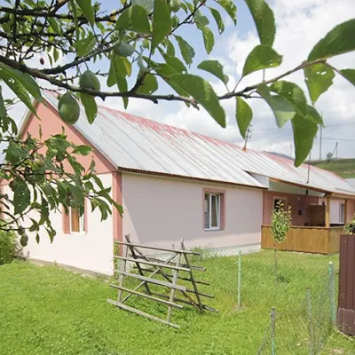 CottageCottage "Yalivets" Kolochava7.3 km from Mount TopasHot tubBBQKitchenNearby: Holy Spirit Church 1.7 kmMt Negrovets 7.3 km9 trails
Trails nearby
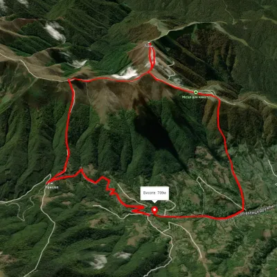 ModerateTwo-dayUnmarkedKolochava village loopvia Mount TopasElevation profile630–1 540 m16.2 kmascent 1 020 m≈ 6 h walkingunder 1 km from Mount Topas
 HardMulti-dayUnmarkedUst-Chorna village to Kolochava villagevia Mount Klymova, Mount Syhlianskyi +1Elevation profile522–1 558 m42.1 kmascent 1 698 m≈ 14 h walkingunder 1 km from Mount Topas
 ModerateTwo-dayUnmarkedMount Topas to Kolochava villagevia Mereshor villageElevation profile459–1 531 m21.8 kmascent 434 m≈ 6.5 h walkingunder 1 km from Mount Topas
Nearby attractions
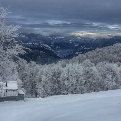 PeakMount Syhlanskyialtitude 1 564 m · Svydovets range4.1 km from Mount TopasSyhlanskyi is the highest peak of the Polonyna Krasna massif in the Ukrainian Carpathians. It lies in the Tiachiv district of Zakarpattia Oblast, between the villages...
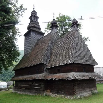 ChurchHoly Spirit Church, Kolochava5.8 km from Mount TopasTheChurch of the Holy Spirit is a wooden church-museum located on a hill near the main road among the spruce trees in the village of Kolochava, Mizhhiria district,...
 PeakMount Strymbaaltitude 1 719 m · Gorgany range7.7 km from Mount Topas4 trails to the topMount Strymba is a 1,719-meter peak of the Ukrainian Carpathians, which lies within the Gorgan mountain range - on the territory of the Pryvododilni Gorgan.