Volovetsloop, via Mount Bozeva
Unmarked trailmore
It may be partly marked. Unmarked trails have no information boards, signposts or auxiliary signs (water, campsite, etc.). The decision to walk the trail is entirely your own responsibility.
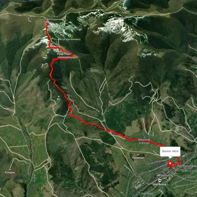
Trail map
Where to stay nearby
About the trail
Route Volovets – Mount Bozeva – Volovets. Along the route you will see: Holy Ascension Church, Volovets, Bozeva Mountain.
At a glance
A one-day loop route of 17.1 km with 789 m of ascent, starting and finishing at Volovets. Estimated walking time: about 5.5 h, not counting stops. Difficulty: moderate. Waymarking is missing or partial.
Route stages
- 0–4 kmGentle ups and downs at 450–490 m
- 4–8 kmClimb of 580 m to Bozeva Mountain (1,095 m)
- 8–12 kmDescent of 590 m (down to 455 m)
- 12–17 kmGentle ups and downs at 440–490 m
Steepest kilometre: km 10–11, a descent of 230 m (≈23%).
Water and overnight stays
A spring near the trail: at km 8. There are no springs between km 8 and 17 — carry at least 1.5 l of water. Some springs run low or dry up in late summer.
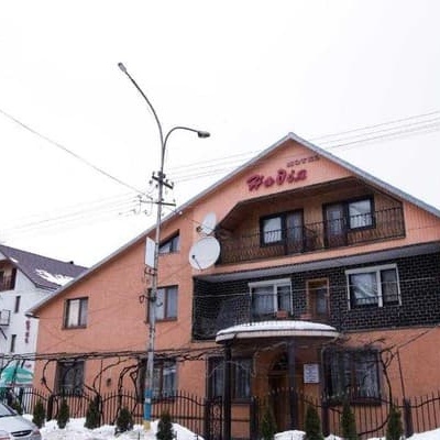
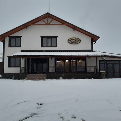
Places to stay near the start: Volovets.
When to go
Best time: May to October. In winter deep snow is possible, so experience and winter gear are needed.
Getting there
Start: Volovets. This is a loop: it brings you back to the start.
FAQ
- How long does the route take?
- Estimated walking time: about 5.5 h, not counting stops.
- Is there water on the route?
- A spring near the trail: at km 8. There are no springs between km 8 and 17 — carry at least 1.5 l of water. Some springs run low or dry up in late summer.
- Where can I stay overnight?
- Places to stay near the start: Volovets.
Water and shelter on the route
- Spring below Mount Bozevakm 7.6 from the start · 200 m off the path · Dried up · 939 m
Comments
What to see on the trail
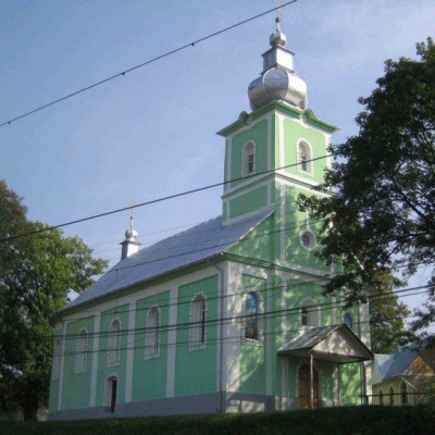 Holy Ascension Church, Volovetsaltitude 519 mThe Orthodox community in Volovets and Kanora was founded in 1925 by Father Lev Tyblevych, an emigrant from Russia (or possibly Ukraine, since he...
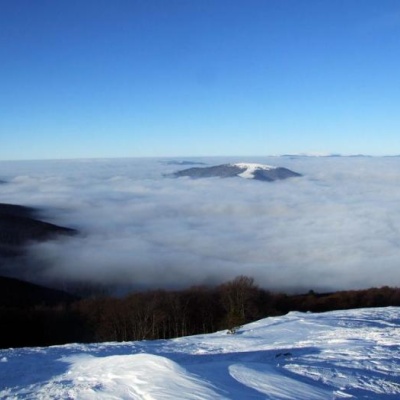 Bozeva Mountainaltitude 1 095 mIt is said that there was an observation post on the mountain, and the place...
Trails nearby
All trails HardMulti-dayMarkedTranscarpathian Tourist TrailElevation profile198–2 031 m393.2 kmascent 30 283 m
 HardMulti-dayUnmarkedVolovets village to Pylypets villagevia Mount Stiy, Shypit WaterfallElevation profile500–1 674 m33.5 kmascent 1 684 m≈ 11.5 h walking
 EasyOne-dayUnmarkedVolovets Mount PlaiElevation profile488–1 322 m8.3 kmascent 75 m≈ 2 h walking