Mount Chyvchyn — to Stovpni Horishni village, via the Pnivie ridge, the Vatunarka ridge, Mount Baba-Liudova
Unmarked trailmore
It may be partly marked. Unmarked trails have no information boards, signposts or auxiliary signs (water, campsite, etc.). The decision to walk the trail is entirely your own responsibility.
Trail map
Where to stay nearby
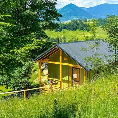
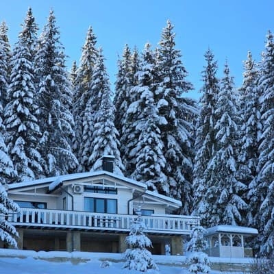
About the trail
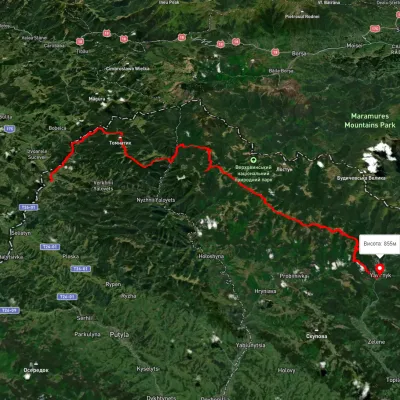
Route Mount Chyvchyn, via the Pnivie ridge, the Vatunarka ridge and Mount Baba-Liudova to Stovpni Horishni village. Along the route you will see: Mount Baba Liudova, Mount Masny Prislip, Mount Rozticka, Hungarian stones (Hungarian rocks), Green.
At a glance
A route of 32.5 km with 1,618 m of ascent from Mount Chyvchyn to Stovpni Horishni village. Estimated walking time: about 11 h, not counting stops — a very long day, so it is easier split into 2 days. Difficulty: hard. Waymarking is missing or partial.
Route stages
- 0–5 kmDescent of 430 m to Hut
- 5–8 kmClimb of 490 m to Mount Masny Prislip (1,581 m)
- 8–15 kmAlong the ridge at 1,500–1,570 m
- 15–20 kmDescent of 510 m (down to 1,018 m)
- 20–23 kmClimb of 410 m (up to 1,431 m)
- 23–32 kmGentle ups and downs at 1,160–1,440 m
Steepest kilometre: km 3–4, a descent of 310 m (≈29%), near Hut.
Water and overnight stays
Springs near the trail: at km 0, 9, 12 and 16. There are no springs between km 16 and 32 — carry at least 3 l of water.
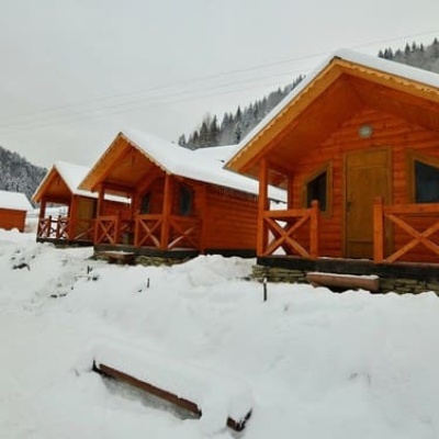
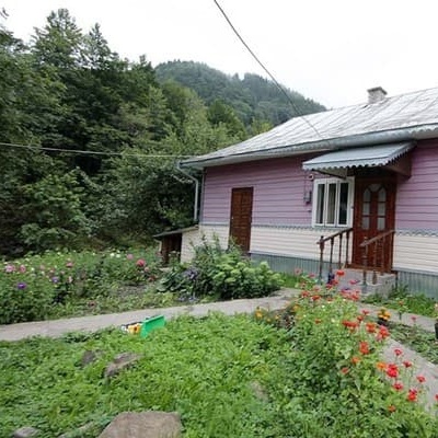
Huts and shelters near the trail: Hut on Polonyna Milkova (km 0), Hut (Khutir Burkut, 2) (km 4), Hut at Ozirnyi (km 11), Forester's hut on Polonyna Mykhailova (km 12), Hut on Polonyna Lukvytsia (km 16), Hut (Khutir Burkut) (km 16), Hut below Mount Skupova (km 31), Hut at Hrun - Velykyi (km 32).
A possible split into days:
- Day 1: km 0–16, ≈5.5 h — overnight: Hut on Polonyna Lukvytsia (hut)
- Day 2: km 16–32, ≈5.5 h — finish
When to go
Best time: May to October. In winter deep snow is possible, so experience and winter gear are needed. About 9 km of the route runs above 1,500 m, where the weather changes quickly — check the forecast.
Getting there
Start: Mount Chyvchyn. This is a one-way route: the finish is 18 km from the start in a straight line, so plan your way back in advance.
FAQ
- How long does the route take?
- Estimated walking time: about 11 h, not counting stops — a very long day, so it is easier split into 2 days.
- Is there water on the route?
- Springs near the trail: at km 0, 9, 12 and 16. There are no springs between km 16 and 32 — carry at least 3 l of water.
- Where can I stay overnight?
- Huts and shelters near the trail: Hut on Polonyna Milkova (km 0), Hut (Khutir Burkut, 2) (km 4), Hut at Ozirnyi (km 11), Forester's hut on Polonyna Mykhailova (km 12), Hut on Polonyna Lukvytsia (km 16), Hut (Khutir Burkut) (km 16), Hut below Mount Skupova (km 31), Hut at Hrun - Velykyi (km 32). Possible overnight stops: Hut on Polonyna Lukvytsia (km 16).
Water and shelter on the route
- Spring below Mount Chyvchyn (5)km 0 from the start · 120 m off the path · Not verified · 1 465 m
- Hut on Polonyna Milkovakm 0.2 from the start · Not verified · 1 445 m
- Hut (Khutir Burkut, 2)km 4.1 from the start · 80 m off the path · Not verified · 1 032 m
- Spring below Mount Masnyi Pryslipkm 8.5 from the start · 90 m off the path · Not verified · 1 454 m
- Hut at Ozirnyikm 10.3 from the start · 230 m off the path · Not verified · 1 426 m
- Spring below Mount Pohrebyna (2)km 11.3 from the start · Not verified · 1 515 m
- Forester's hut on Polonyna Mykhailovakm 11.4 from the start · Standing · 1 502 m
- Spring below Mount Pohrebynakm 14.4 from the start · 120 m off the path · Not verified · 1 432 m
- Hut on Polonyna Lukvytsiakm 14.5 from the start · 50 m off the path · Standing · 1 436 m
- Hut (Khutir Burkut)km 14.5 from the start · 60 m off the path · Not verified · 1 434 m
- Hut below Mount Skupovakm 28.8 from the start · Not verified · 1 171 m
- Hut at Hrun - Velykyikm 29.3 from the start · Not verified · 1 194 m
Comments
What to see on the trail
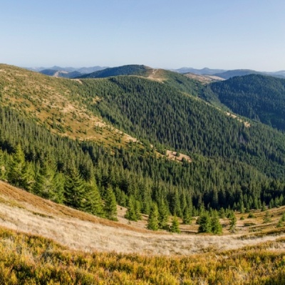 Mount Baba Liudovaaltitude 1 582 mBaba Liudova (also known as Baba Ludova) is a peak on the Pneve ridge, which is located in the Hryniavsky Mountains of the Ukrainian Carpathians.
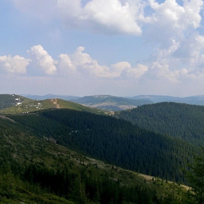 Mount Masny Prislipaltitude 1 581 mMasnyi Pryslip is a peak of the Ukrainian Carpathians, which is located within the Hryniava mountain range.
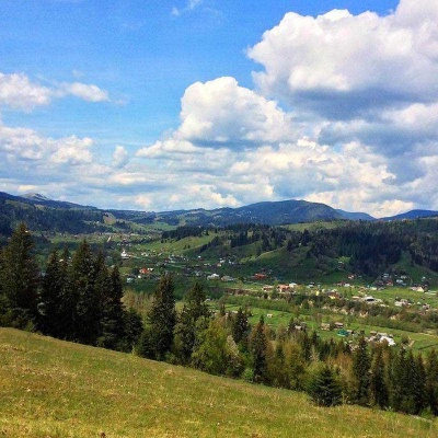 Mount Roztickaaltitude 1 514 mRoztitska (also known by other names - Roztitska, Rostytska, Rostitska) is a peak in the Ukrainian Carpathians, which is located within the...
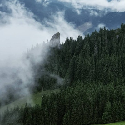 Hungarian stones (Hungarian rocks), Greenaltitude 785 mThe Hungarian Rocks or Hungarian Stones are an array of four huge vertical rocks in the middle of the forest, which rise above the spruce forest.
Trails nearby
All trails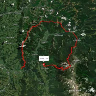 HardMulti-dayUnmarkedKrasnyk village to Dzembronia villagevia Mount Krynta, Mount Zmiinska +3Elevation profile741–1 799 m48.9 kmascent 2 606 m
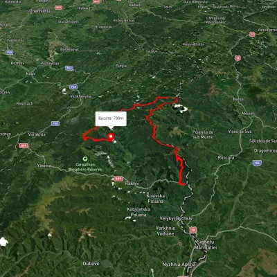 HardMulti-dayUnmarkedDilove village to Hoverla villagevia Mount Pip Ivan Marmaroskyi, Mount Chyvchyn +3Elevation profile317–2 020 m162.3 kmascent 5 379 m
 HardMulti-dayUnmarkedShepit village to Shybene villagevia Mount Yarovytsia, Mount Pnivie +1Elevation profile851–1 579 m73.4 kmascent 2 571 m