Dilove village, via Mount Pip Ivan Marmaroskyi to Kostylivka village
About the route:
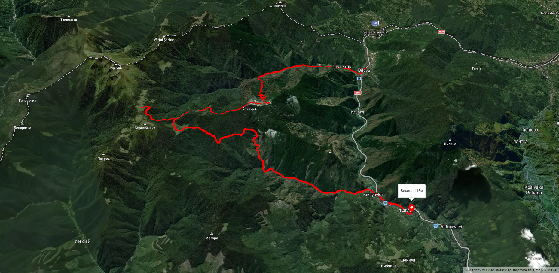
Route Dilove village, via Mount Pip Ivan Marmaroskyi to Kostylivka village. Warning! This route is unmarked (it may be partially marked)! Unmarked routes are not equipped with: information boards; signposts; auxiliary signs (water, campsite, etc.). The decision to take the route is entirely your own responsibility! Trail length 37884m. Lowest point - 343m., highest point - 1532m. Total elevation gain 2750m. Along the route you will see: Geographical center of Europe, Business, Berlebashka Mountain, Polonyna Lysycha.
🎮 3D hike
Walk this route in 3D
Real terrain, satellite map, Carpathian forests
Play →
To add a comment you can: login or register.
What to see along the route:
47.9359496,24.173681399999964 | Altitude: 357м
Geographical center of Europe, Business
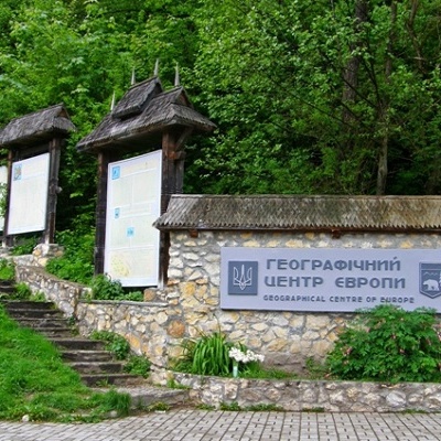 Dilove village is located in Rakhiv district. It is one of the main attractions of Transcarpathia, as the sign of the geographical center of Europe is installed in this place.
... More...
Dilove village is located in Rakhiv district. It is one of the main attractions of Transcarpathia, as the sign of the geographical center of Europe is installed in this place.
... More...
47.95159529349685,24.316523090820326 | Altitude: 1734м
Berlebashka Mountain
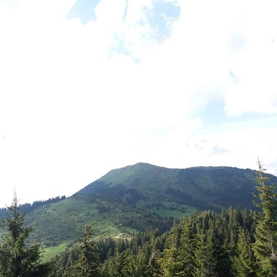 Berlebashka is a mountain in the Rakhiv Mountains (part of the Marmarosh Mountains). It is located in the south of Rakhiv district, Zakarpattia region, south of the village of Bohdan and southeast of the village of Kostylivka.
... More...
Berlebashka is a mountain in the Rakhiv Mountains (part of the Marmarosh Mountains). It is located in the south of Rakhiv district, Zakarpattia region, south of the village of Bohdan and southeast of the village of Kostylivka.
... More...
47.93603585474152,24.31603159683837 | Altitude: 1477м
Polonyna Lysycha
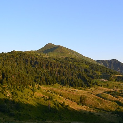 The Lysycha valley is located on the Marmoroska ridge of the Carpathians. It is located in Rakhiv district of Zakarpattia region near the Ukrainian-Romanian border.
... More...
The Lysycha valley is located on the Marmoroska ridge of the Carpathians. It is located in Rakhiv district of Zakarpattia region near the Ukrainian-Romanian border.
... More...


