Lumshory village, via Runa polonyna, Voievodyn Waterfall, Preluka tract, Mount Ostra Hora, Pashkivtsi village and Mount Pikui to Bilasovytsia village
About the route:
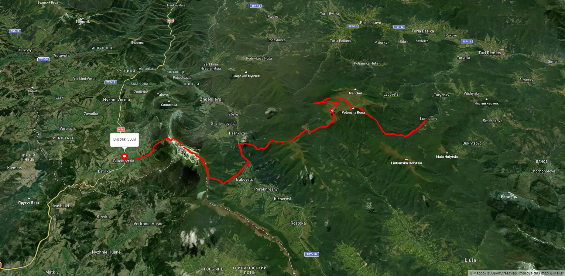
Route Lumshory village, via Runa polonyna, Voievodyn Waterfall, Preluka tract, Mount Ostra Hora, Pashkivtsi village and Mount Pikui to Bilasovytsia village. Warning! This route is unmarked (it may be partially marked)! Unmarked routes are not equipped with: information boards; signposts; auxiliary signs (water, campsite, etc.). The decision to take the route is entirely your own responsibility! Trail length 45177m. Lowest point - 461m., highest point - 1474m. Total elevation gain 2956m. Along the route you will see: Lumshory waterfalls, Mount Runa Ply, Vojvodyn waterfall.
🎮 3D hike
Walk this route in 3D
Real terrain, satellite map, Carpathian forests
Play →
To add a comment you can: login or register.
What to see along the route:
48.811514668791084,22.73539863667601 | Altitude: 483м
Lumshory waterfalls
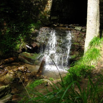 Lumshory waterfalls are a group of waterfalls in the Ukrainian Carpathians, a hydrological natural monument of local importance (called "Waterfall on the Turytsia River"). They are located within Perechyn district of Zakarpattia region. A hydrological natural monument of local importance, located 3.5 km northeast of the village of Lumshory, on the Turytsia River (a tributary of the Turya), near the northwestern slopes of Polonyna Rivna.
... More...
Lumshory waterfalls are a group of waterfalls in the Ukrainian Carpathians, a hydrological natural monument of local importance (called "Waterfall on the Turytsia River"). They are located within Perechyn district of Zakarpattia region. A hydrological natural monument of local importance, located 3.5 km northeast of the village of Lumshory, on the Turytsia River (a tributary of the Turya), near the northwestern slopes of Polonyna Rivna.
... More...
48.775923524599506,22.83194216582035 | Altitude: 1227м
Mount Runa Ply
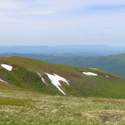 Runa-Play is a 1,227-meter peak of the Ukrainian Carpathians, located in the southeastern part of the Runa Valley. The mountain is located in the Perechyn district of Zakarpattia region.
Mount Runa-Play lies within the ornithological reserve of national importance "Sokolovi Skeli" .
The nearest settlement is the village of Turya Polyana (Perechyn district, Zakarpattia region).
More...
Runa-Play is a 1,227-meter peak of the Ukrainian Carpathians, located in the southeastern part of the Runa Valley. The mountain is located in the Perechyn district of Zakarpattia region.
Mount Runa-Play lies within the ornithological reserve of national importance "Sokolovi Skeli" .
The nearest settlement is the village of Turya Polyana (Perechyn district, Zakarpattia region).
More...
48.78572385446831,22.84622314273838 | Altitude: 391м
Vojvodyn waterfall
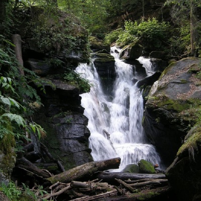 The Voyevodyn Waterfall is located on the stream of the same name near the village of Zhdeniyevo in Zakarpattia within the Sokolovi Skeli, an ornithological reserve of national importance, and is considered one of the most beautiful hydrological natural monuments in Ukraine, as well as a great place for photography and picnics.
... More...
The Voyevodyn Waterfall is located on the stream of the same name near the village of Zhdeniyevo in Zakarpattia within the Sokolovi Skeli, an ornithological reserve of national importance, and is considered one of the most beautiful hydrological natural monuments in Ukraine, as well as a great place for photography and picnics.
... More...


