Zbyny – Voievodyn
13.7 kmLength
558 mAscent
1 315 mDescent
1 220 mMax. altitude
436 mMin. altitude
Trail map
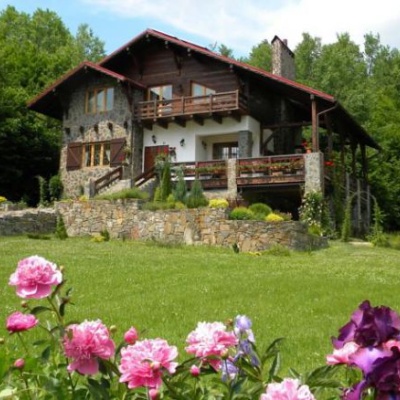
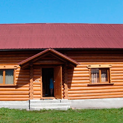
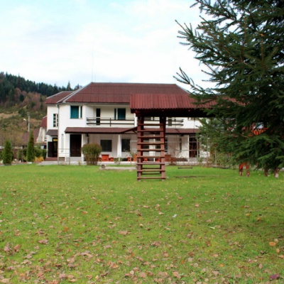
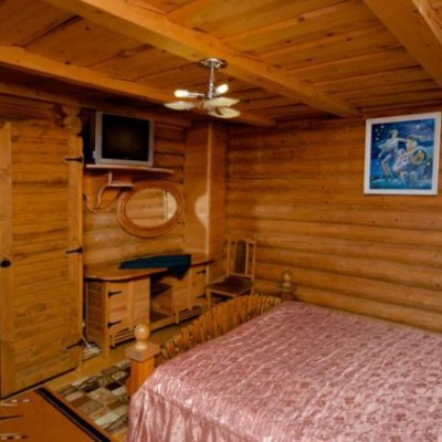
Where to stay nearby
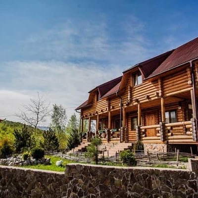
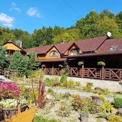
Near the start · Zhdenievo
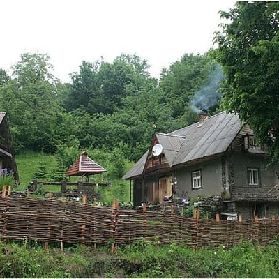
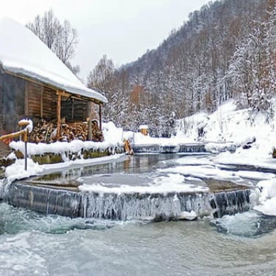
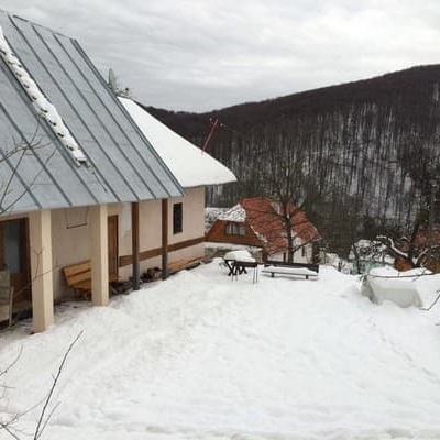
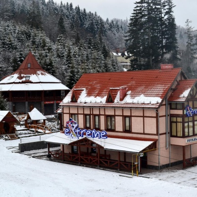
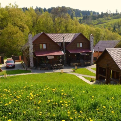
Near the finish · Zhdenievo
Weather and adviceLoading the forecast…
About the trail
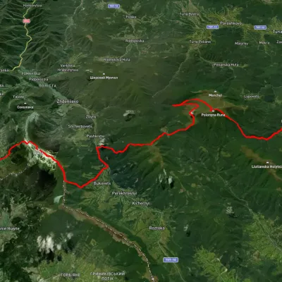
Route Zbyny – Voievodyn. Has blue marking (most notable or interesting routes). Along the route you will see: Mount Runa-Plai, Vojvodyn waterfall.
At a glance
A one-day route of 13.7 km with 558 m of ascent and 1,315 m of descent from Zbyny to Voievodyn. Estimated walking time: about 4.5 h, not counting stops. Difficulty: moderate. Waymarking: blue.
Route stages
- 0–1 kmGentle ups and downs at 1,190–1,220 m, past Mount Runa-Plai
- 1–5 kmDescent of 530 m (down to 665 m)
- 5–8 kmClimb of 140 m (up to 804 m)
- 8–10 kmGentle ups and downs at 730–810 m
- 10–14 kmDescent of 320 m to Voievodyn
Steepest kilometre: km 2–3, a descent of 220 m (≈22%).
Water and overnight stays
Our map shows no springs near the trail — bring your own water (at least 2.5 l).
Places to stay near the finish: Zhdenievo.
When to go
Best time: May to October. In winter deep snow is possible, so experience and winter gear are needed.
Getting there
Start: Zbyny. This is a one-way route: the finish is 9 km from the start in a straight line, so plan your way back in advance.
FAQ
- How long does the route take?
- Estimated walking time: about 4.5 h, not counting stops.
- Is there water on the route?
- Our map shows no springs near the trail — bring your own water (at least 2.5 l).
- Where can I stay overnight?
- Places to stay near the finish: Zhdenievo.
Comments
What to see on the trail
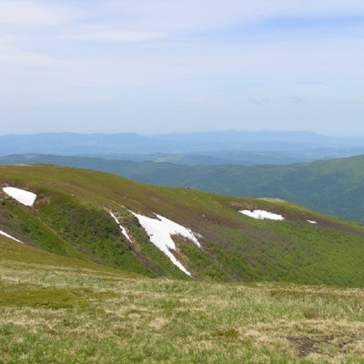 Mount Runa-Plaialtitude 1 227 mRuna-Play is a 1,227-meter peak of the Ukrainian Carpathians, located in the southeastern part of the Runa Valley.
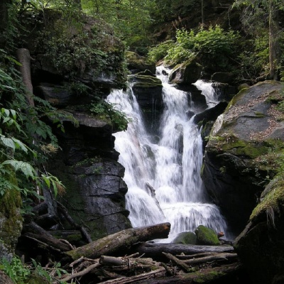 Vojvodyn waterfallaltitude 391 mThe Voyevodyn Waterfall is located on the stream of the same name near the village of Zhdeniyevo in Zakarpattia within the Sokolovi Skeli, an...
Trails nearby
All trails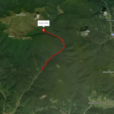 EasyOne-dayUnmarkedTuria Poliana village Voievodyn WaterfallElevation profile430–877 m7 kmascent 472 m≈ 2.5 h walking
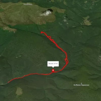 ModerateTwo-dayUnmarkedTuria Poliana village loopvia Voievodyn WaterfallElevation profile489–1 012 m14.3 kmascent 763 m≈ 5 h walking
 HardMulti-dayUnmarkedLumshory village to Bilasovytsia villagevia Runa polonyna, Voievodyn Waterfall +4Elevation profile461–1 474 m45.2 kmascent 2 956 m