Lopushne – Synevyr
Trail map
Where to stay nearby

About the trail
Route Lopushne – Synevyr. Has yellow marking (short routes, connecting paths, shortcuts). Along the route you will see: Ozerna Mountain, Synevyr Lake Synevyrska Polyana.
At a glance
A one-day route of 9.5 km with 1,011 m of ascent from Lopushne to Synevyr. Estimated walking time: about 4 h, not counting stops. Difficulty: moderate. Waymarking: yellow.
Route stages
- 0–6.5 kmClimb of 470 m (up to 1,136 m)
- 6.5–7.5 kmGentle ups and downs at 1,130–1,160 m
- 7.5–9.5 kmDescent of 150 m to Synevyr
Steepest kilometre: km 5–6, a climb of 140 m (≈14%).
Water and overnight stays
A spring near the trail: at km 8. There are no springs between km 0 and 8 — carry at least 2 l of water.
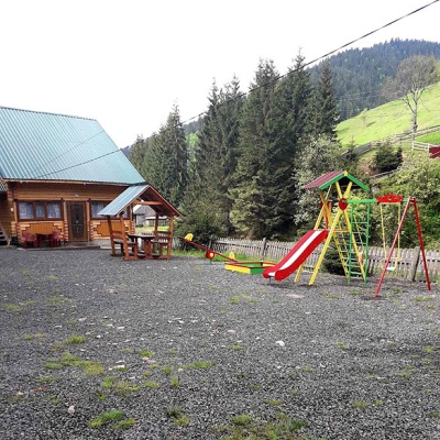
Places to stay near the finish: Synevyrska Polyana.
When to go
Best time: May to October. In winter deep snow is possible, so experience and winter gear are needed.
Getting there
Start: Lopushne. This is a one-way route: the finish is 6 km from the start in a straight line, so plan your way back in advance.
FAQ
- How long does the route take?
- Estimated walking time: about 4 h, not counting stops.
- Is there water on the route?
- A spring near the trail: at km 8. There are no springs between km 0 and 8 — carry at least 2 l of water.
- Where can I stay overnight?
- Places to stay near the finish: Synevyrska Polyana.
Water and shelter on the route
- Spring below Mount Ozerna (5)km 8.2 from the start · Not verified · 1 114 m
Comments
What to see on the trail
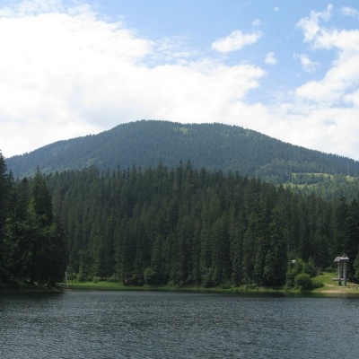 Ozerna Mountainaltitude 1 496 mMount Ozerna (+1496 meters) rises above Lake Synevyr. The ascent begins in the village of Torun.
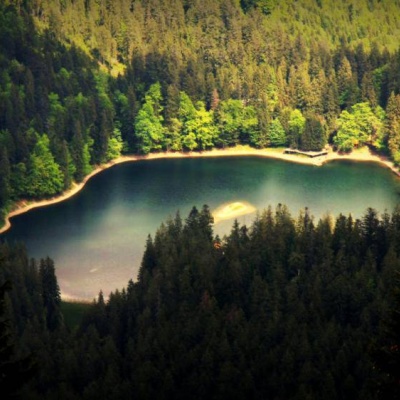
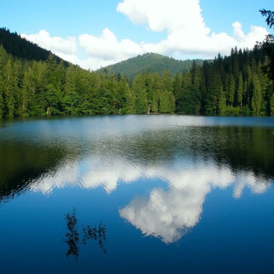 Synevyr Lake Synevyrska Polyanaaltitude 989 mLake Synevyr, located on the territory of the National Nature Park of the same name in Mizhhirya district of Zakarpattia region, is the largest and...
Trails nearby
All trails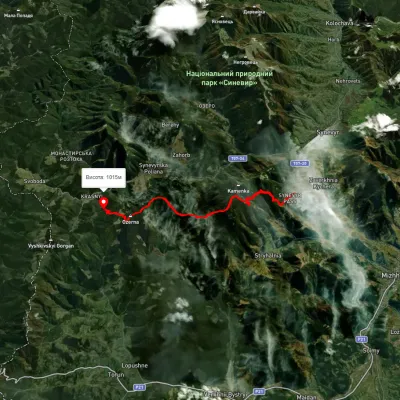 ModerateTwo-dayMarkedSynevyr Pass Lake Synevyrvia Mount OzernaElevation profile889–1 519 m15.6 kmascent 1 397 m≈ 6.5 h walking
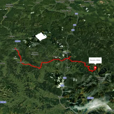 HardMulti-dayUnmarkedSlavske village to Lake Synevyrvia the Bukovets PassElevation profile583–1 328 m53.8 kmascent 2 170 m
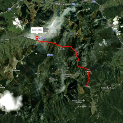 HardTwo-dayUnmarkedLake Synevyr to Synevyr villagevia Mount Ozerna, Mount KamiankaElevation profile661–1 553 m19.4 kmascent 1 213 m≈ 7.5 h walking