Pidlisniv hamlet – Huk Zhenetskyi Waterfall
About the route:
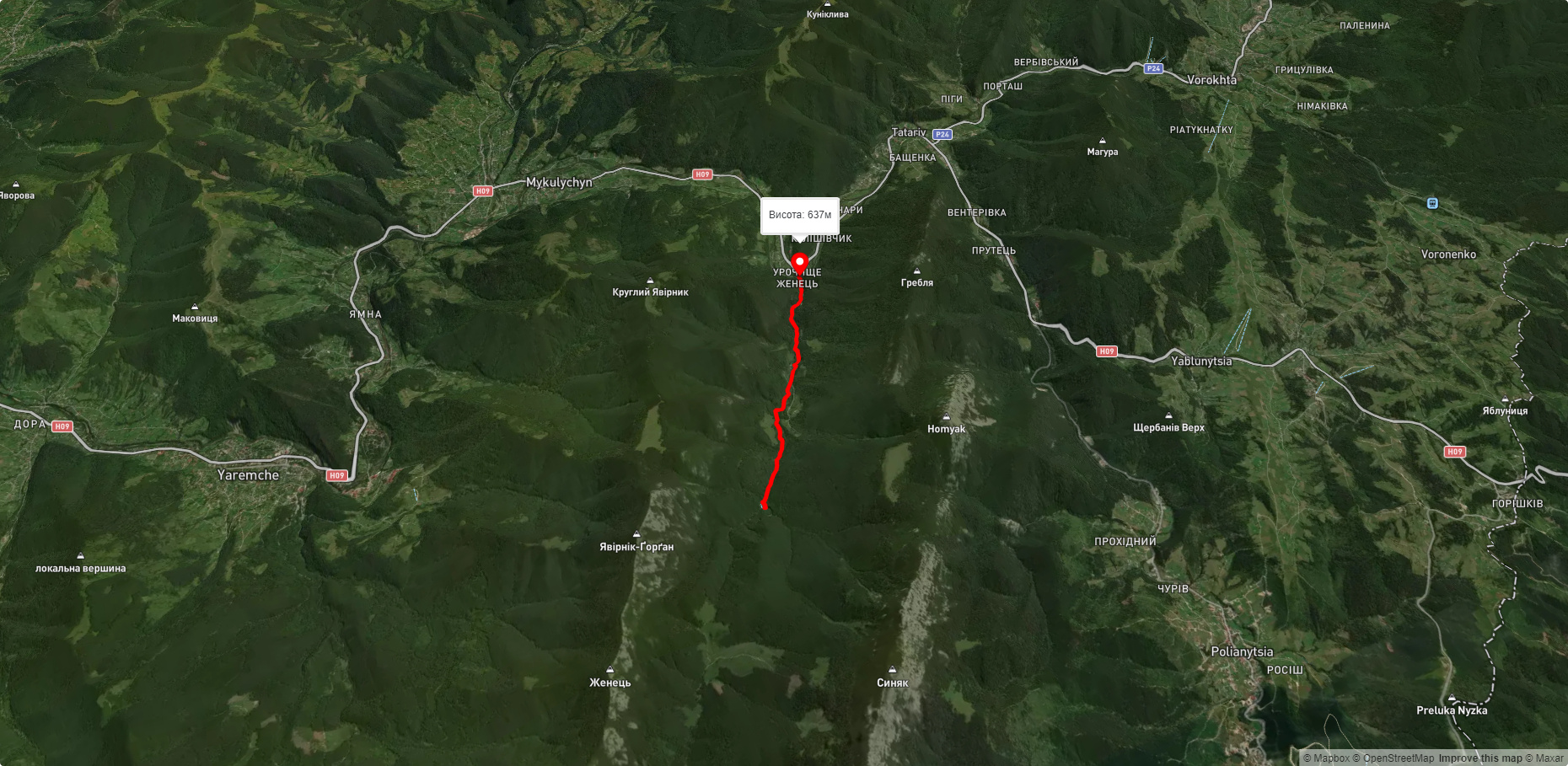
Route Pidlisniv hamlet – Huk Zhenetskyi Waterfall. Has blue marking. Trail length 4771m. Lowest point - 635m., highest point - 879m. Total elevation gain 293m. Along the route you will see: Zhenetsky Hook waterfall, Narinetskyi waterfall, Mykulychyn.
🎮 3D hike
Walk this route in 3D
Real terrain, satellite map, Carpathian forests
Play →
To add a comment you can: login or register.
What to see along the route:
48.39114927376516,24.499661471606487 | Altitude: 622м
Zhenetsky Hook waterfall
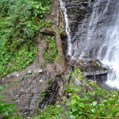 Zhenetskyi Huk is one of the most convenient Carpathian waterfalls for tourists, as it is accessible by a direct, asphalt road. It is also one of the most beautiful waterfalls in the world. Zhenetskyi Huk gets a truly unique look during snowmelt and after heavy rains, when, in addition to the main stream, water flows in thin threads from the top of the rock, creating several more mini-waterfalls around.
... More...
Zhenetskyi Huk is one of the most convenient Carpathian waterfalls for tourists, as it is accessible by a direct, asphalt road. It is also one of the most beautiful waterfalls in the world. Zhenetskyi Huk gets a truly unique look during snowmelt and after heavy rains, when, in addition to the main stream, water flows in thin threads from the top of the rock, creating several more mini-waterfalls around.
... More...
48.38473691450483,24.521805789233387 | Altitude: 622м
Narinetskyi waterfall, Mykulychyn
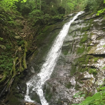 Narinetskyi Waterfall is a waterfall in the Ukrainian Carpathians, on the Noretskyi Stream (a left tributary of the Zhenets River). It is located on the border of the villages of Mykulychyn and Tatariv, which are subordinated to the Yaremche City Council. The total height of the waterfall is about 10 meters. The waterfall was formed in the place where the stream crosses a thick sandstone layer. Not far (1800 meters) from Narinetskyi waterfall is the Zhenetskyi Huk waterfall.
More...
Narinetskyi Waterfall is a waterfall in the Ukrainian Carpathians, on the Noretskyi Stream (a left tributary of the Zhenets River). It is located on the border of the villages of Mykulychyn and Tatariv, which are subordinated to the Yaremche City Council. The total height of the waterfall is about 10 meters. The waterfall was formed in the place where the stream crosses a thick sandstone layer. Not far (1800 meters) from Narinetskyi waterfall is the Zhenetskyi Huk waterfall.
More...


