Kryvopillia Pass, Kryvopillia
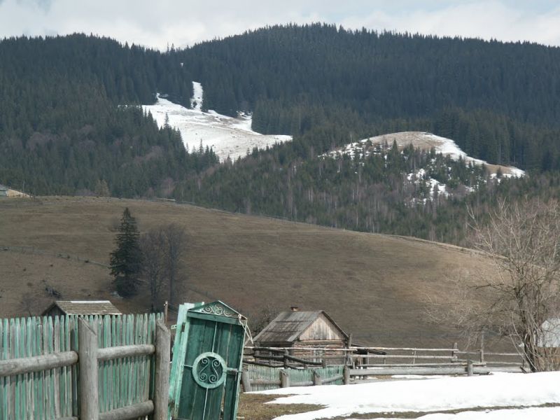
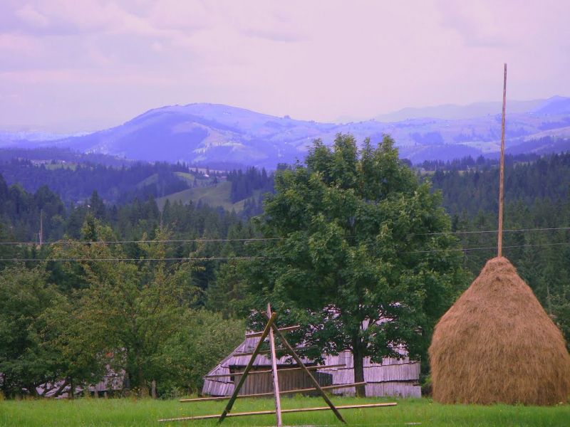
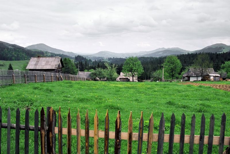
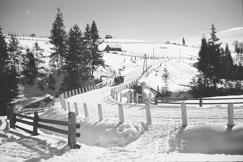
Kryvopillia Pass is one of the most difficult passes in the Ukrainian Carpathians. It is located within the Verkhovyna-Putyla lowlands (in its northwestern part), on the northwestern outskirts of the village of Kryvopillia, Verkhovyna district, Ivano-Frankivsk region, from which the pass got its name.
The height of the pass is 970 m above sea level (according to other sources - 1013 m). It is located on the border of the Prut and Black Cheremosh rivers. The pass is crossed by the paved road Vorokhta - Verkhovyna P24. The slopes of the pass are relatively gentle and easily accessible.
Kryvopillia is a small Hutsul village located 16 km from the district center and 18 km from the Vorokhta railway station, in the valley of the Black Cheremosh River. Until 1958 it was called Kryvopole. In 1958 it was renamed to Kryvopillia. The village is surrounded by forested mountains.
In recent years, the tourist infrastructure in the village has been actively developing, with many estates and cottages appearing. A popular tourist route to the Kostrych ridge begins from the pass.
Video 2
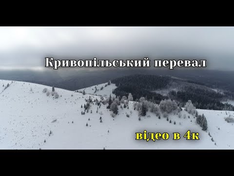 Кривопільский перевал взимку (4к)Rudchyks
Location on the map
Comments
Places to stay nearby
All stays HotelHotel-Restaurant "Bukov'yan"Kryvopilliaunder 1 km from Kryvopillia Pass, KryvopilliaHotel-Restaurant "Bukov'yan" offers a cozy getaway in the Carpathians, far from the hustle and bustle of the city.Nearby: Mt Makovytsia 700 mKryvopillia Pass 800 m6 trails
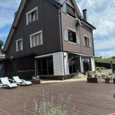 HomesteadUnderDilKryvopilliaunder 1 km from Kryvopillia Pass, KryvopilliaThe accommodation UnderDil is located in the village of Kryvopillia, just 42 km from the landmark "Vodospad Probiy".Nearby: Kryvopillia Pass 900 mPolonyna Dil 1.2 km7 trails
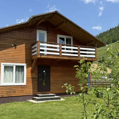 CottageDida's EstateVolova4.1 km from Kryvopillia Pass, KryvopilliaA modern cottage in the Carpathians for your vacation Located 890 m above sea level in the colorful Hutsul village of VolovaNearby: Polonyna Dil 2.5 kmMt Rotilo 3.1 km6 trails
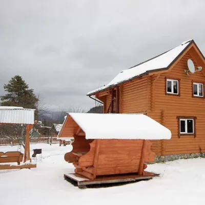 HomesteadHomestead "HOVERLYANKA" Vorokhta (near Hoverlyansky Checkpoint)Vorokhta5.1 km from Kryvopillia Pass, KryvopilliaSaunaBBQKitchenNearby: Mt Kukul 3.9 kmPolonyna Kukul 4.3 km6 trails
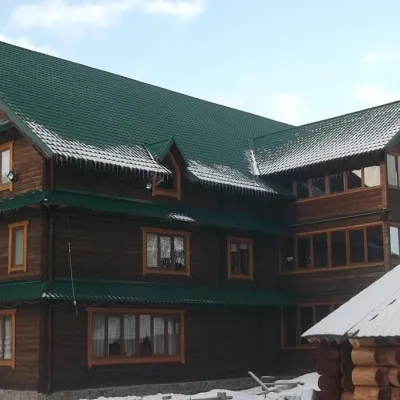 HotelHotel "Yuraya" Vorokhta (near the checkpoint to Hoverla)Vorokhta5.2 km from Kryvopillia Pass, KryvopilliaHot tubPoolSaunaNearby: Mt Kukul 3.8 kmPolonyna Kukul 4.2 km6 trails
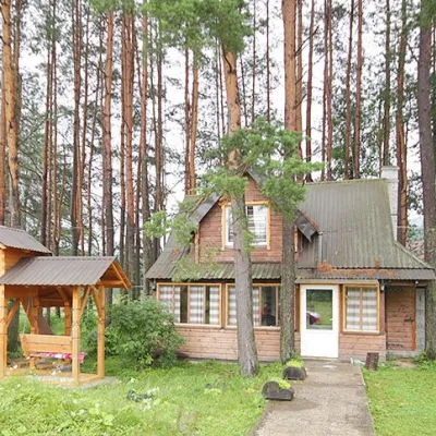 HomesteadHomestead "Sosnovyi Dvir" Vorokhta (Tenth Kilometer)Vorokhta5.4 km from Kryvopillia Pass, KryvopilliaSaunaBBQKitchenNearby: Mt Kukul 3.7 kmPolonyna Kukul 4.1 km5 trails
Trails nearby
All trails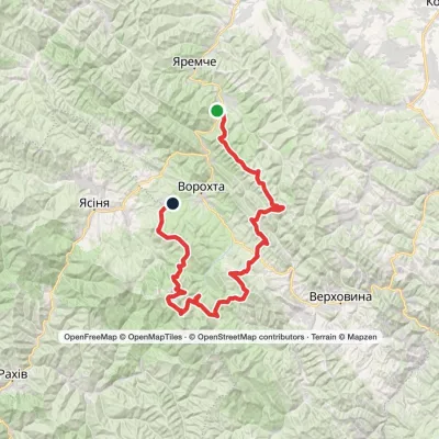 HardMulti-dayMykulychyn village to Voronenko villagevia Mount Khorde, Mount Pozhyzhevska +2Elevation profile587–2 053 m93 kmascent 4 347 munder 1 km from Kryvopillia Pass, Kryvopillia
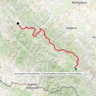 HardMulti-dayMarkedEast Carpathian Tourist TrailElevation profile643–1 828 m278.1 kmascent 8 209 munder 1 km from Kryvopillia Pass, Kryvopillia
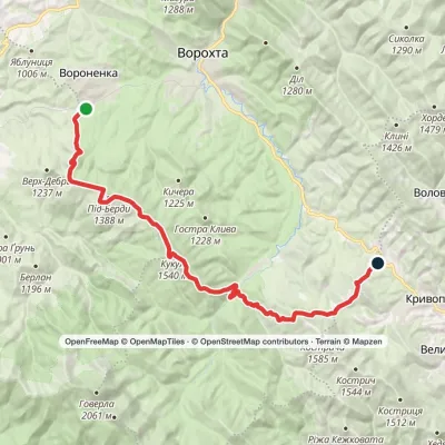 HardMulti-dayVoronenko village to Kryvopillia villagevia Mount KukulElevation profile868–1 541 m26.9 kmascent 1 262 m≈ 9 h walkingunder 1 km from Kryvopillia Pass, Kryvopillia
Nearby attractions
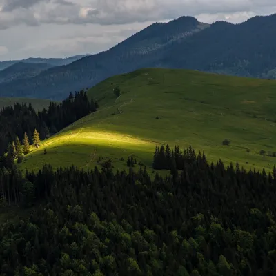 PeakMount Makovytsia (Kryvopillia)Kryvopilliaaltitude 1 161 m1.4 km from Kryvopillia Pass, KryvopilliaMakovytsia is a 1,161 m summit above the village of Kryvopillia (about 2.3 km) in the Verkhovyna district of Ivano-Frankivsk Oblast.
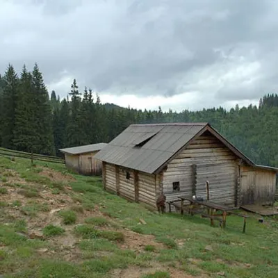 Mountain meadowPolonyna DilKryvopilliaaltitude 950 m1.7 km from Kryvopillia Pass, KryvopilliaShepherds graze cows in the meadow. You can buy dairy products from the shepherds, as well as take part in a master class on its preparation from May to October.
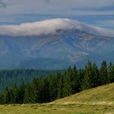 NatureKostrich RidgeKryvopillia4 km from Kryvopillia Pass, KryvopilliaThe ridge is located in the Verkhovyna district and is a well-known tourist attraction in the Carpathians.
Craft nearby
All craft places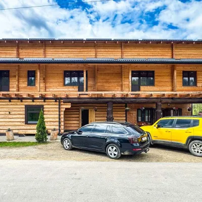 Koliby & Hutsul cuisineZRUB Ethno Restaurant, IltsiIltsi8.2 km from Kryvopillia Pass, KryvopilliaZRUB Ethno Restaurant is a new log-built home of Hutsul cooking in the village of Iltsi, on the edge of Verkhovyna, the town often called the Hutsul capital.
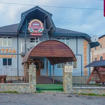 Craft beer & breweriesVerkhovyna Brewery at the Pyvovar Motel, VerkhovynaVerkhovyna12 km from Kryvopillia Pass, KryvopilliaVerkhovyna Brewery operates at the Pyvovar motel on the approach to Verkhovyna, the Hutsul capital of the Carpathians.
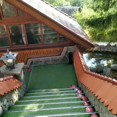 Koliby & Hutsul cuisineStara Vorokhta Restaurant, VorokhtaVorokhta12 km from Kryvopillia Pass, KryvopilliaStara Vorokhta restaurant ("Old Vorokhta") is one of the best-known places for Hutsul food in Vorokhta: on Google Maps it is rated 4.6 from more than 6,300 reviews, a...
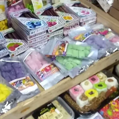 Markets & fairsSouvenir Bazaar by the Ski Jumps, VorokhtaVorokhta12 km from Kryvopillia Pass, KryvopilliaThe souvenir bazaar in Vorokhta is one of the busiest little trading spots in the mountain Hutsul region.
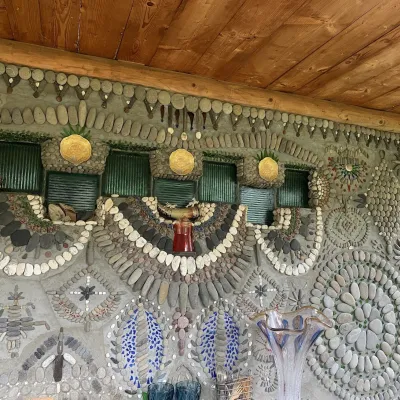 Ethno parks & homesteadsTsikava Sadyba Art and Ethno Homestead, VerkhovynaVerkhovyna14 km from Kryvopillia Pass, KryvopilliaTsikava Sadyba («The Curious Estate») is a private art homestead in the very centre of Verkhovyna that local housewife and artist Oksana Susiak has been shaping since...
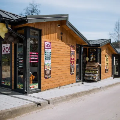 Markets & fairsTorhovyshche Souvenir Market, VerkhovynaVerkhovyna14 km from Kryvopillia Pass, KryvopilliaTorhovyshche is a modern souvenir market right in the centre of Verkhovyna, the capital of the mountain Hutsul region.