Vorokhta — Mount Kukul, via Perehslyp tract
Trail map
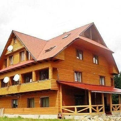
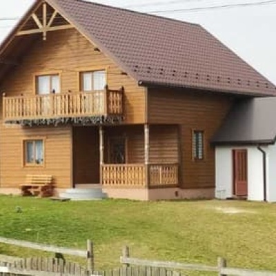
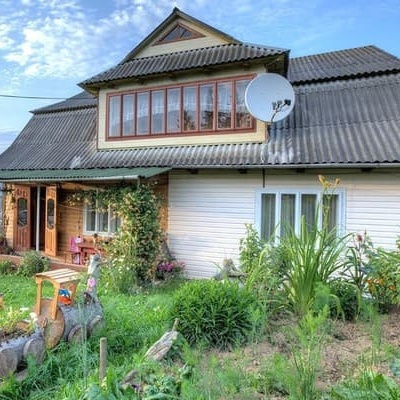
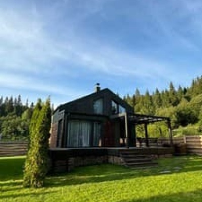
Where to stay nearby
About the trail
Route Vorokhta - Perehslyp tract - Mount Kukul. Has blue marking (most notable or interesting routes).
Kukul is a small ridge with the highest peak of the same name, which is surrounded by a dense forest. There are many places for pastures on the ridge, and in summer all the Hutsul huts are occupied - shepherds make polonyna cheese here. If you've never tasted it, be sure to go to Kukul for brynza or budz, because the rich taste is definitely worth it! Plus, no one will bite you for your curiosity if it's polite: ask the owners if you can buy or at least taste some cheese from them - they will most likely not refuse you!
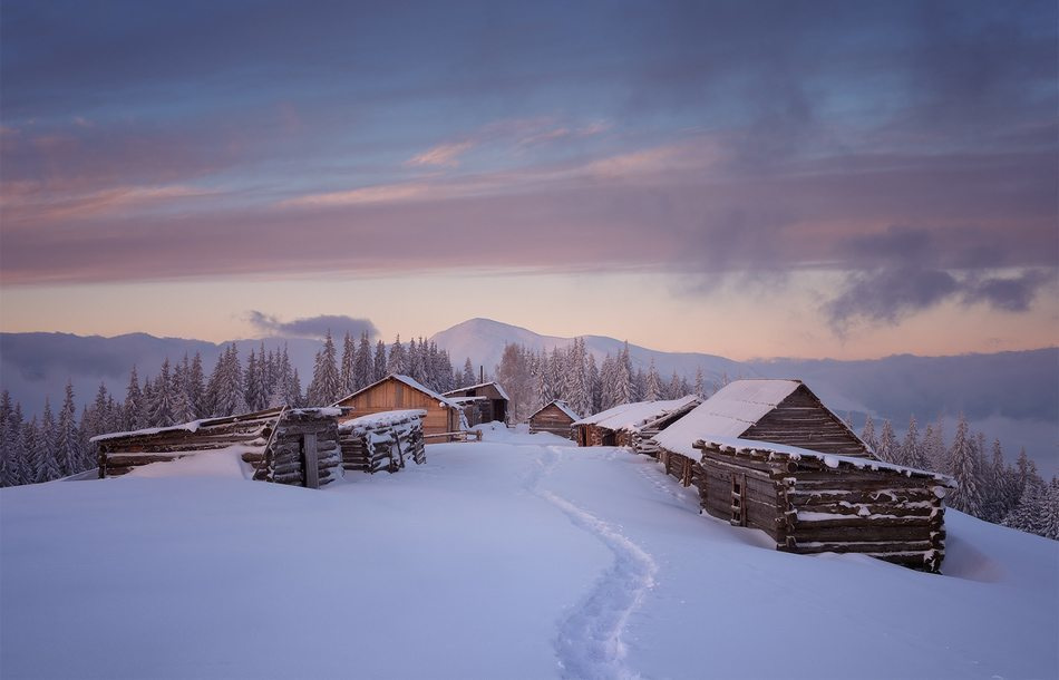
Perhaps the best time to visit Kukul is in the fall. Everything around you is full of colors from dark green, almost blue, to bright yellow, the air is saturated with oxygen, and it's easy and pleasant to breathe. Climb the ridge and open your eyes wide. Do you know what heaven on Earth looks like? Perhaps it looks a bit like the autumn Carpathians.
In the summer, Kukul is full of berries - just walk around and eat raspberries or blueberries. Everything is easier than with mushrooms. We think you won't have any problems recognizing raspberries, but just in case, here's a photo of a typical blueberry bush - enjoy!
In general, the mountains in Vorokhta are perhaps the most accessible for tourists, because many tourist routes start from here. From Vorokhta you will have to climb through the forest. After that, you will come out in the middle of the Kukul ridge, not at the beginning. There are many springs and small streams on the trail leading from Vorokhta, especially in summer. It is often muddy, so choose your shoes carefully before starting the route. Despite the 20-kilometer distance, the route to Mount Kukul from Vorokhta will not be exhausting. This is due to the low elevation, slow ascent, and the road shaded by the forest.
What's around? The most important thing is that you can see Hoverla and Chornohora in the palm of your hand (Kukul is one of the few ranges close to the highest massif in Ukraine), and the Kostrych ridge, which often extends hikes from Kukul for a few more days. You can see the Blyznytsi massif on Svydovets. Turn around and you'll see the rocky Gorgany on the other side. In short, almost all the iconic Carpathian mountains can be combined in one spherical photo from here.
At a glance
A one-day route of 11.7 km with 1,108 m of ascent from Vorokhta to Mount Kukul. Estimated walking time: about 5 h, not counting stops. Difficulty: moderate. Waymarking: blue.
Route stages
- 0–12 kmClimb of 760 m to Mount Kukul (1,539 m)
Steepest kilometre: km 9–10, a climb of 200 m (≈20%).
Water and overnight stays
Springs near the trail: at km 4, 6, 7 and 9.
Places to stay near the start and finish: Vorokhta.
When to go
Best time: May to October. In winter deep snow is possible, so experience and winter gear are needed.
Getting there
Start: Vorokhta. This is a one-way route: the finish is 9 km from the start in a straight line, so plan your way back in advance.
FAQ
- How long does the route take?
- Estimated walking time: about 5 h, not counting stops.
- Is there water on the route?
- Springs near the trail: at km 4, 6, 7 and 9.
- Where can I stay overnight?
- Places to stay near the start and finish: Vorokhta.
Water and shelter on the route
- Spring (Vorokhta, 2)km 3.7 from the start · Not verified · 879 m
- Spring (Vorokhta)km 6.1 from the start · Not verified · 1 011 m
- Spring (Vorokhta, 3)km 7.4 from the start · Not verified · 1 141 m
- Spring below Mount Kukul (8)km 9.5 from the start · 70 m off the path · Not verified · 1 248 m
- Spring below Mount Kukul (7)km 10.1 from the start · Not verified · 1 363 m
Comments
Trails nearby
All trails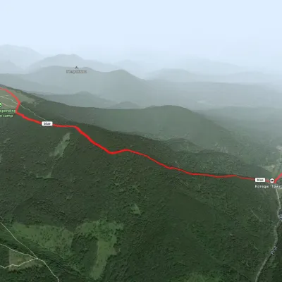 EasyOne-dayMarkedHoverla checkpoint (Zavoiela) Mount KukulElevation profile899–1 526 m4.8 kmascent 730 m≈ 2.5 h walking
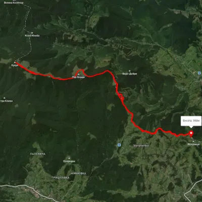 HardMulti-dayUnmarkedVoronenko village loopvia Mount KukulElevation profile920–1 574 m29.5 kmascent 1 248 m≈ 10 h walking
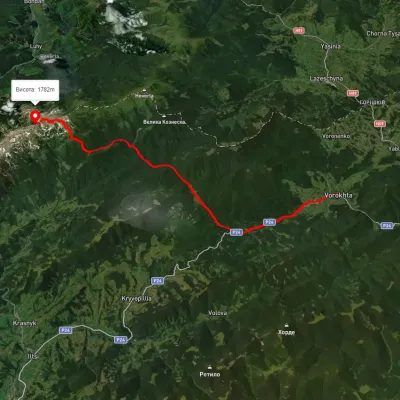 HardMulti-dayUnmarkedVorokhta to Lake Brebeneskulvia Mount Shpytsi, Mount RebraElevation profile734–1 981 m28.3 kmascent 1 662 m≈ 10.5 h walking