Narinetskyi waterfall, Mykulychyn
Mykulychyn, Ivano-Frankivsk region, Ukraine
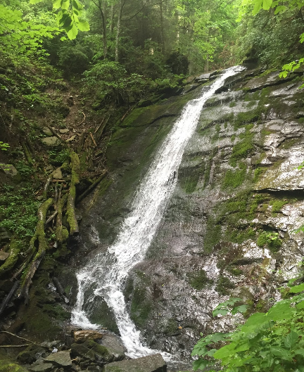
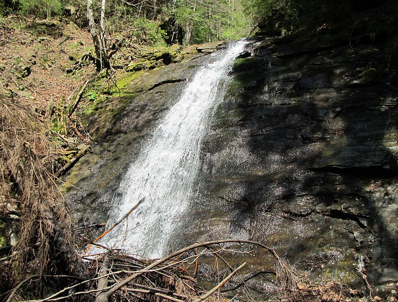
Narinetskyi Waterfall is a waterfall in the Ukrainian Carpathians, on the Noretskyi Stream (a left tributary of the Zhenets River). It is located on the border of the villages of Mykulychyn and Tatariv, which are subordinated to the Yaremche City Council. The total height of the waterfall is about 10 meters. The waterfall was formed in the place where the stream crosses a thick sandstone layer. Not far (1800 meters) from Narinetskyi waterfall is the Zhenetskyi Huk waterfall.
Location on the map
Comments
Places to stay nearby
All stays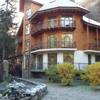 HotelHotel "Dikyi Med" TatarivTatariv2.2 km from Narinetskyi waterfall, MykulychynSaunaSPABBQNearby: Narinetskyi waterfall 2.2 kmMt Khomiak 3.6 km47 trails
 HotelHotel "Hirskaya Sonata" MykulychynMykulychyn2.8 km from Narinetskyi waterfall, MykulychynSaunaWi‑FiTransferNearby: Narinetskyi waterfall 2.8 kmMt Khomiak 4.4 km51 trails
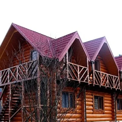 HotelGuest House "Iryna" MykulychynMykulychyn3.5 km from Narinetskyi waterfall, MykulychynSaunaBBQKitchenNearby: Narinetskyi waterfall 3.5 kmMt Khomiak 5.0 km49 trails
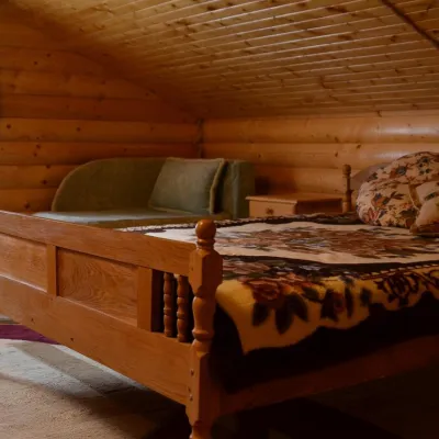 HotelHotel "Lisovyi Zrub" MykulychynMykulychyn3.5 km from Narinetskyi waterfall, MykulychynBBQParkingKidsNearby: Narinetskyi waterfall 3.5 kmMt Khomiak 5.0 km49 trails
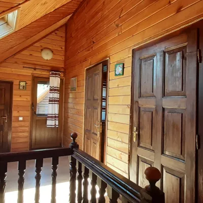 CottageWood-House MykulychynTatariv4.9 km from Narinetskyi waterfall, MykulychynWe invite you to relax in the village of Mykulychyn. Separate cottages for up to 6 people.Nearby: Mt Lisniv 3.2 kmZhenetsky Hook waterfall 6.6 km40 trails
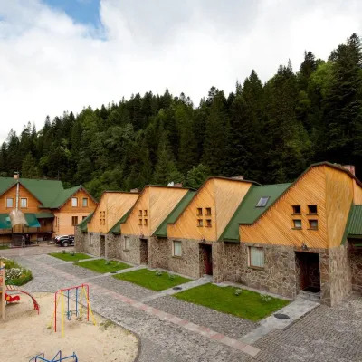 HotelHotel "Lavanda Country Club" in TatarivTatariv4.7 km from Narinetskyi waterfall, MykulychynPoolSaunaKidsNearby: Mt Khomiak 3.9 kmPolonyna Khomyakov 4.7 km43 trails
Trails nearby
All trails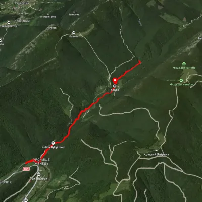 EasyOne-dayUnmarkedZhenets tract Zhenetskyi Huk WaterfallElevation profile623–917 m7 kmascent 423 m≈ 2.5 h walkingunder 1 km from Narinetskyi waterfall, Mykulychyn
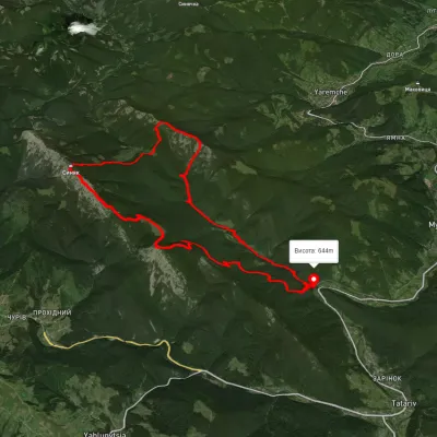 HardMulti-dayUnmarkedZhenets tract loopvia Mount Khomiak, Mount Syniak +2Elevation profile650–1 647 m27 kmascent 2 065 m≈ 11 h walkingunder 1 km from Narinetskyi waterfall, Mykulychyn
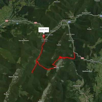 HardTwo-dayUnmarkedTatariv village to Zhenets tract (Mykulychyn village)via Mount Khomiak, Zhenetskyi Huk WaterfallElevation profile675–1 544 m18.4 kmascent 1 228 m≈ 7 h walkingunder 1 km from Narinetskyi waterfall, Mykulychyn
Nearby attractions
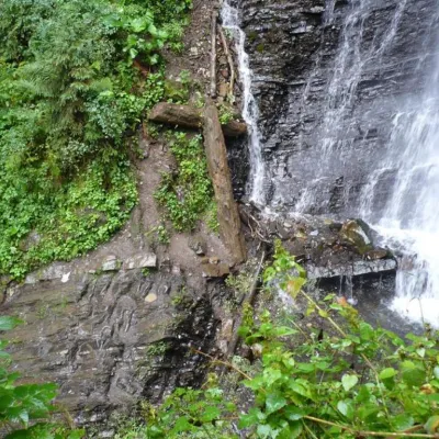 WaterfallZhenetsky Hook waterfallMykulychyn1.8 km from Narinetskyi waterfall, MykulychynZhenetskyi Huk is one of the most convenient Carpathian waterfalls for tourists, as it is accessible by a direct, asphalt road.
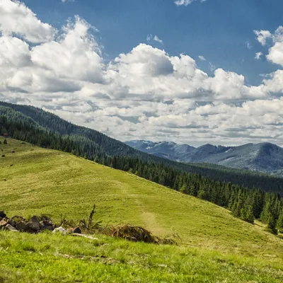 Mountain meadowPolonyna KhomyakovTatarivaltitude 1 525 m2.3 km from Narinetskyi waterfall, MykulychynYou can climb here from the Guk waterfall even in a short winter day, spend the night, and in the morning go to the tops of the Khomyak or Sinyak mountains (depending...
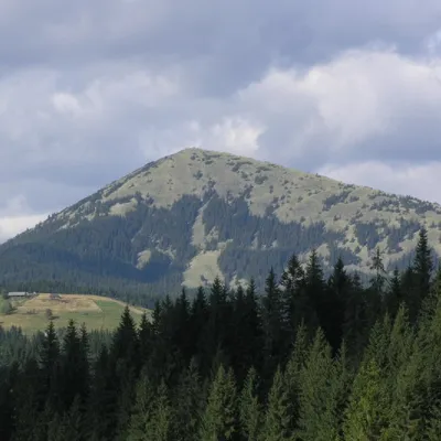 PeakMount KhomiakTatarivaltitude 1 542 m · Gorgany range2.7 km from Narinetskyi waterfall, Mykulychyn40 trails to the topKhomyak is a 1542-meter-high peak of the Gorgan mountain range. Rumor has it that the mountain was named so because its shape resembles the back of a hamster.