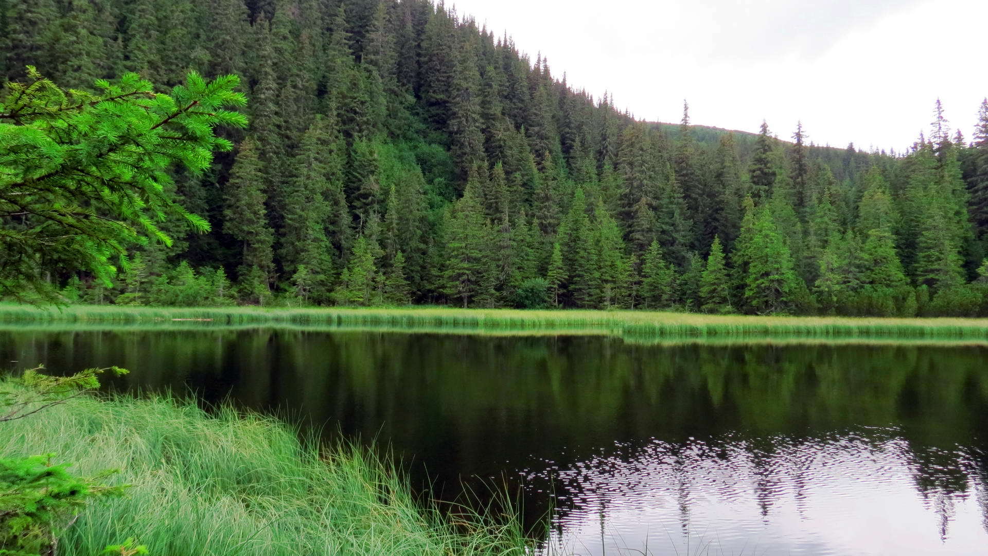
If you want to get an unforgettable experience in the Carpathians, we recommend planning hiking on the following routes:Chornohora Highlands, Chyvchyn Highlands, Hryniava Mountains, Kostrytsia Ridge, Pokuttya Carpathians, Chyvchyn and Chornohora, Chornohora glacial cairns, the heart of Chornohora, to Nesamovytye Lake, along Chornohora through Kostrycha.
Route 1: Along the Chornohora highlands.
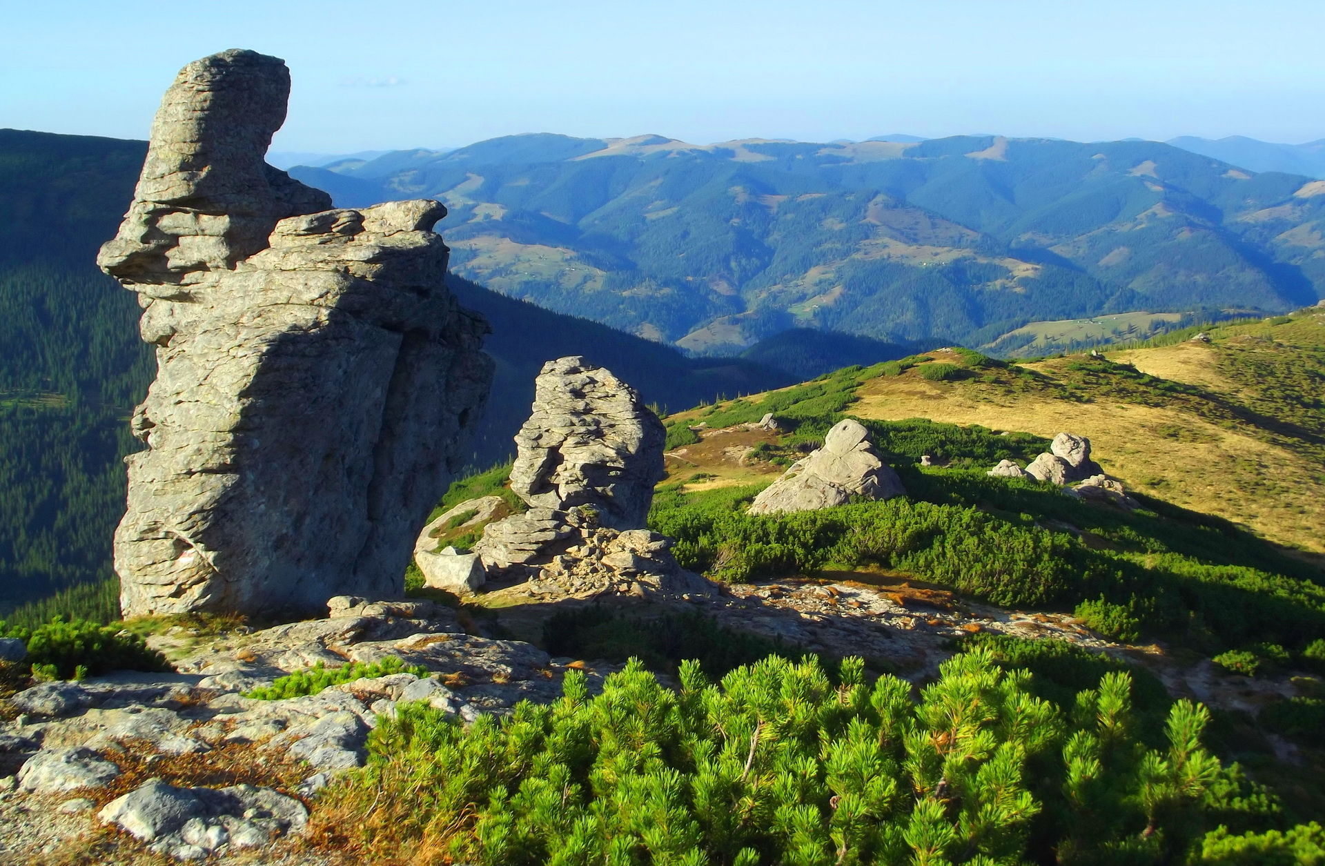
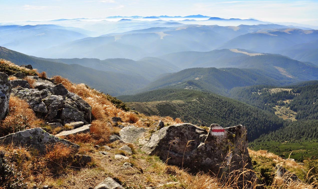
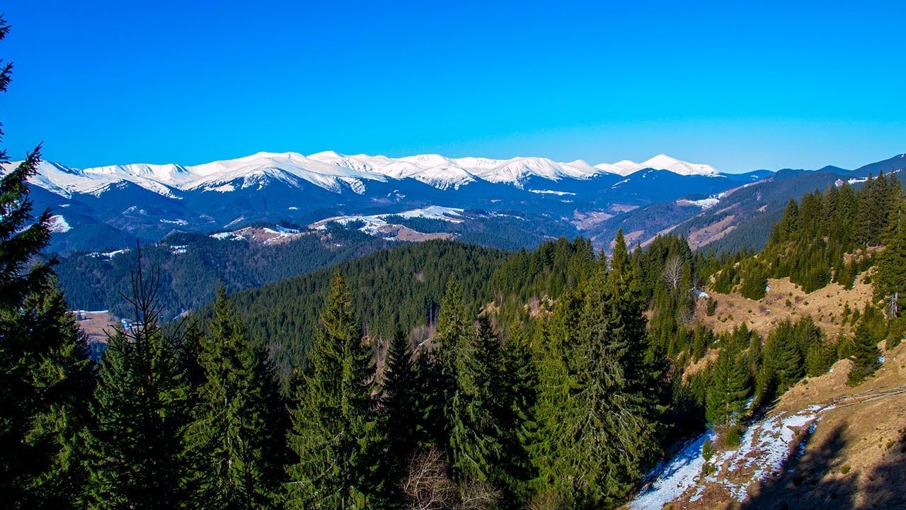
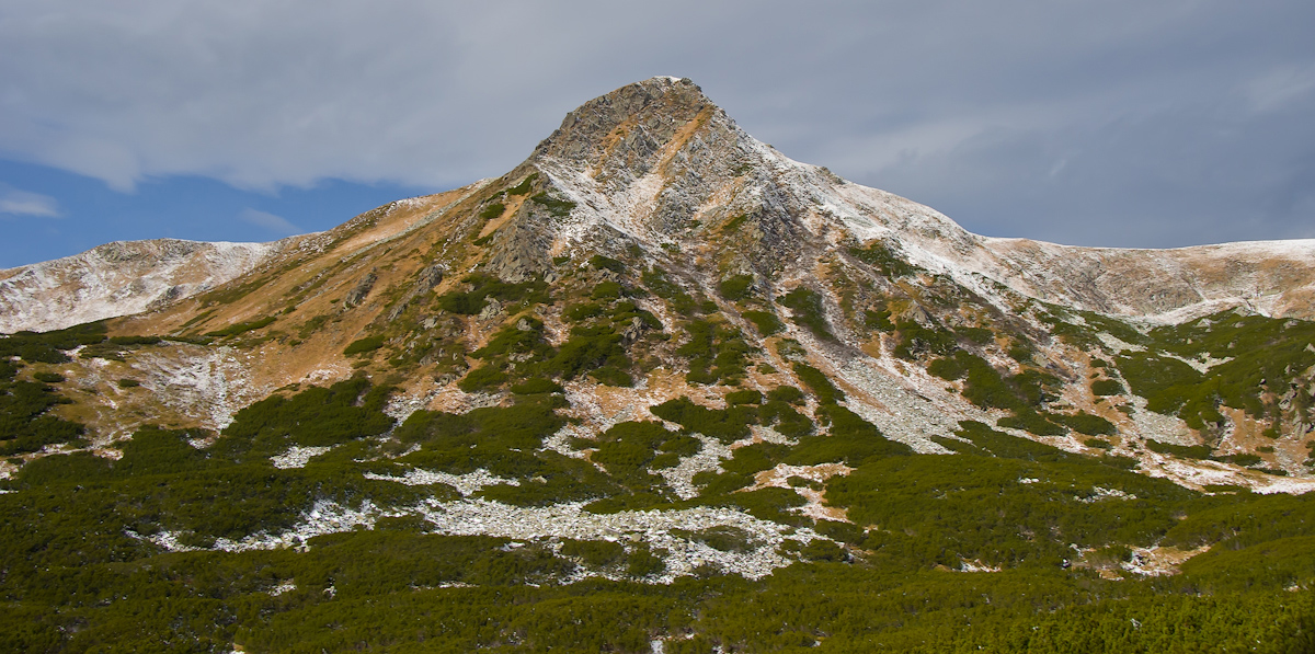
The route passes along the peaks of the highest in Ukraine Chornohora ridge. The trail in the highlands passes through the Transcarpathian slopes, sometimes passing along the peaks. If you wish, you can climb all the Chornohora towers without exception.
Recommended places to spend the night are near the lakes Maricheika, Brebeneskul and Nesamovyte. The starting point of the route is the village of Yavirnyk (Shybene), and the end point is the alpine training and sports center "Zaroslyak". The route passes through the territory of the Carpathian National Park. There are water sources near lakes, on the top of Mount Brebeneskul and on the saddle between Breskul and Hoverla.
The village of Yavirnyk (Shybene ) - Highland forestry of the KNPP - Vesnarka meadow - Lake Maricheyka - Mount Pip Ivan Chornohirsky (2026 m) - Mount Dzembronya (1887 m) - Mount Menchul (1999 m) - Mount Brebeneskul (2036 m) - Mount Rebra (2001 m) - Lake Nesamovyte - Mount Turkul (1933 m) - Mount Dantsizh (1848 m) - Mount Pozhyzhevska (1822 m) - Mount Breskul (1911 m) - Mount Hoverla (2061 m) - Zaroslyak meadow - Zaroslyak village.
The length of the route is 35 km. Duration: 2-3 days. Seasonality: June-October.
Route 2: Along the Chyvchyn highlands.
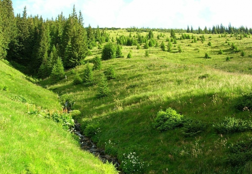
The first part of the route passes through the watershed of the Chyvchyn ridge along the Ukrainian-Romanian border at altitudes of 1400 - 1700 meters, the second part - through the valley of the Black Cheremosh from its source to the confluence of the left tributary of the Shybeny River. The trail in the mountains runs along the Ukrainian slopes, from the Chimirny tract to the village of Shybene there is a dirt road. Overnight stays are possible in any meadows, of which there are many along the route. There are water sources in all the meadows.
The starting and ending point is the village of Yavirnyk (Shybene). Route: Yavirnyk village (Shybene) - Medvezhak tract - Rogeska meadow - Mount Stig (1654 m) - Bercheska meadow - Mount Kernychnyi (1588 m) - Mount Furatyk (1526 m) - Ledeskul meadow - Preluchnyi meadow - Mt. Starosta - Mount Budashevska Velyka (1677 m) - Mount Chivchyn (1766 m) - Popadia meadow - Mount Lustun (1626 m) - Mount Pirie (1530 m) - Mount Koman (1723 m) - Mount Hnitessa (1749 m) - Baltagura meadow - tract 82 km.
Duration: 4-5 days. Seasonality: May-September.
Route 3: Through the Hryniava Mountains.
The route runs along the peaks of the Hryniava Mountains, located in the interfluve of the Black and White Cheremosh, in the direction from the village of Krasnyk to the Ukrainian-Romanian border. It includes climbing all the higher peaks of this ridge. Overnight stays are possible in any meadows, and there are drinking water sources everywhere. The starting and ending points have a bus service from the village of Verkhovyna.
Krasnyk village - Mount Krenta (1359 m) - Mount Zmienska (1356 m) - Mount Rostitska (1513 m) - Mount Skupova (1579 m) - Lukovytsia meadow - Mount Baba Ludova (1586 m) - Dukonya meadow - Mokrynets meadow - Perkalaba tract - Holoshyno village- Hryniava village.
The length of the route is 64 km. Duration: 3-4 days. Seasonality: May-September.
Route 4: Along the Kostrytsky ridge.
The route passes through the two main peaks of a small mountain range - the Kostrycha ridge, which offers a magnificent panorama of the entire Montenegro. The starting point is a village located on the Kryvopil (Vorokhta) Pass itself, and the end point is the village of Krasnyk.
Kryvopil pass - Bukovel village - Mount Makovytsia (1160 m) - Mount Kostrycha (1585 m) - Mount Kostrych (1544 m) - Mount Kostrytsia (1512 m) - Bolota meadow - Mount Heha (1287 m) - Vesnarka meadow - Krasnyk village.
The length of the route is 26 km. Duration: 2 days. Seasonality: May-October.
Route 5: Through the Pokuttya Carpathians.
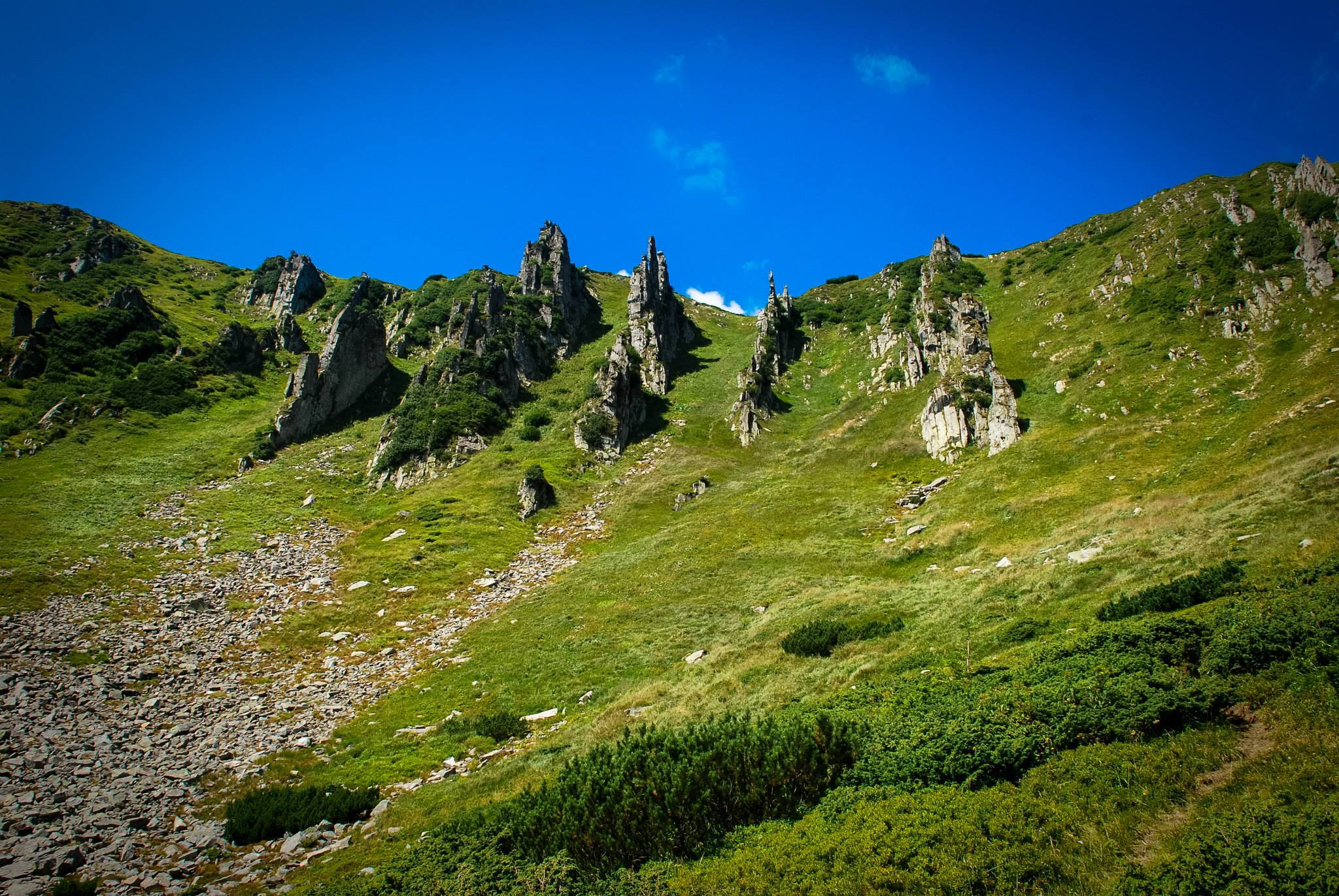
The route passes through the higher peaks of the Pokutsko-Bukovyna Carpathians, which are crowned with large boulders of constantly weathering Yamnets sandstone, as well as through several villages of the Verkhovyna district. The starting and ending point is the village of Verkhovyna.
The route is as follows. Verkhovyna - village of Vipche - Malyi Pryslip pass - Mount Bila Kobyla (1477 m) - Mount Chornyi Hrun (1385 m) - Mount Ihrets (1311 m) - Bukovets pass - Mount Kopilash (1150 m) - Mount Pysanyi Kamin (1221 m) - village of Yaseniv - Mount Synytsi (1186 m) - Dovbush's barns - Magura ridge (1118 m) - Mount Pushkar (816 m) - Verkhovyna village. Verkhovyna.

The length of the route is 46 km. Duration: 3-4 days. Seasonality: May-October.
Route 6: Through Chivchyny and Chornohora.
The route covers the northern part of the Chyvchyny and southern part of the Chornohora ranges. It starts in the village of Shybene and ends in the village of Dzembronia. These villages have a bus service.
Shybene village - Ruskyi Dil ridge - Mount Horns (1556 m) - Mount Regeska (1569 m) - Mount Radul (1598 m) - Shchivnyk meadow - Mount Vykhid (1471 m) - Mount Vaskul (1730 m) - Mount Pip Ivan (2026 m) - Mount Smotrych (1896 m) - Smotrych meadow - Dzembronia village.
The length of the route is 36 km. Duration: 2-3 days. Seasonality: June-September.
Route 7: Along the glacial chains of Montenegro.
The route passes by typical glacial pits, which are numerous on the northeastern slopes of the Montenegrin ridge, through the second highest peak of the Ukrainian Carpathians. It starts and ends in the Chornohora villages of Dzembronia and Bystrets.
Dzembronia village - Mount Vuhaty Kamen (1864 m) - Mount Dzembronia (1887 m) - Mount Menchul (1999 m) - Mount Brebeneskul (2036 m) - Kedrovaty Pohorilets ridge - Kizi Ulyny meadow - Mount Dovbushevyi Sidets (1506 m) - Bystrets village.

The length of the route is 22 km. Duration: 2 days. Seasonality: June-September.
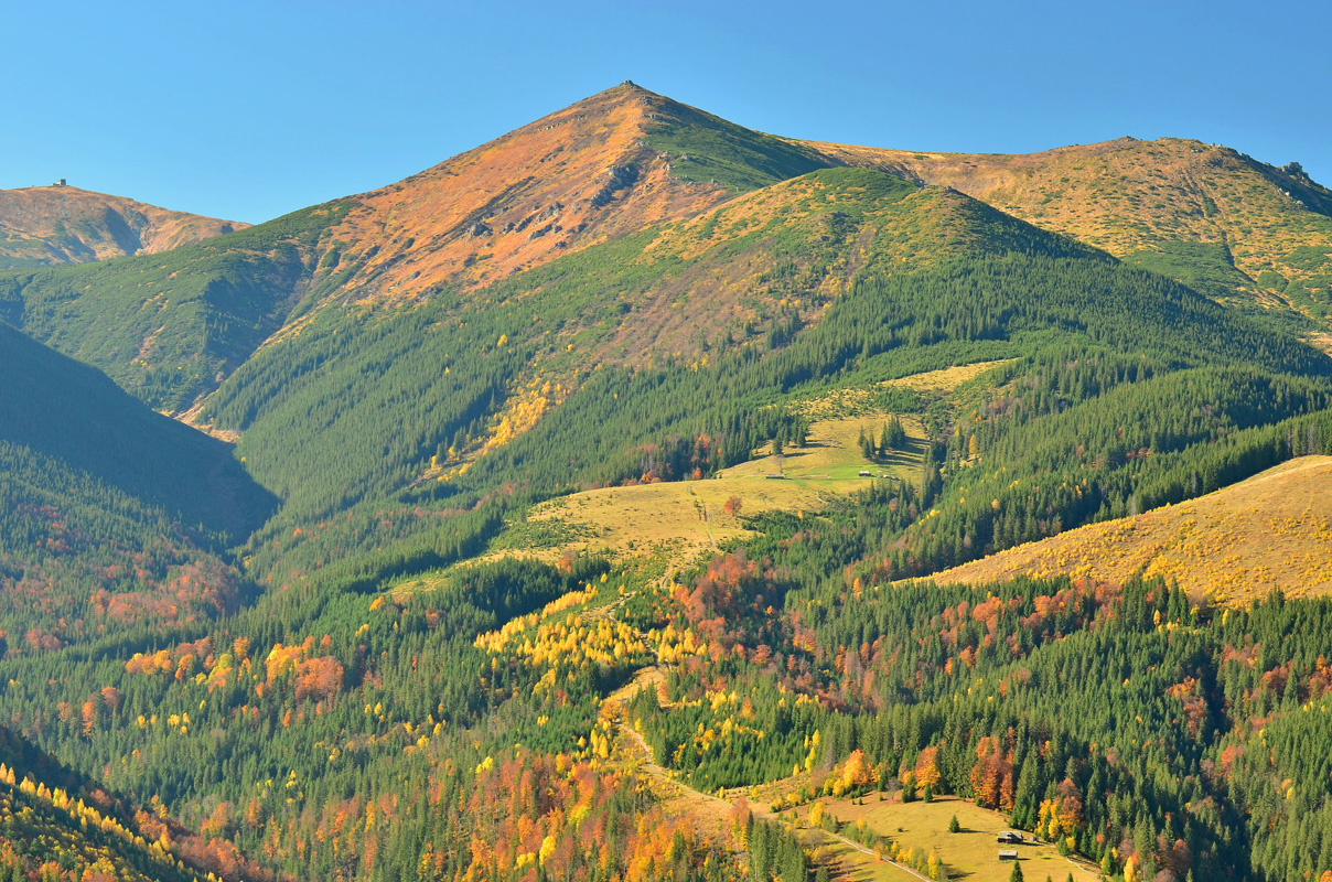
Route 8: In the heart of Montenegro.
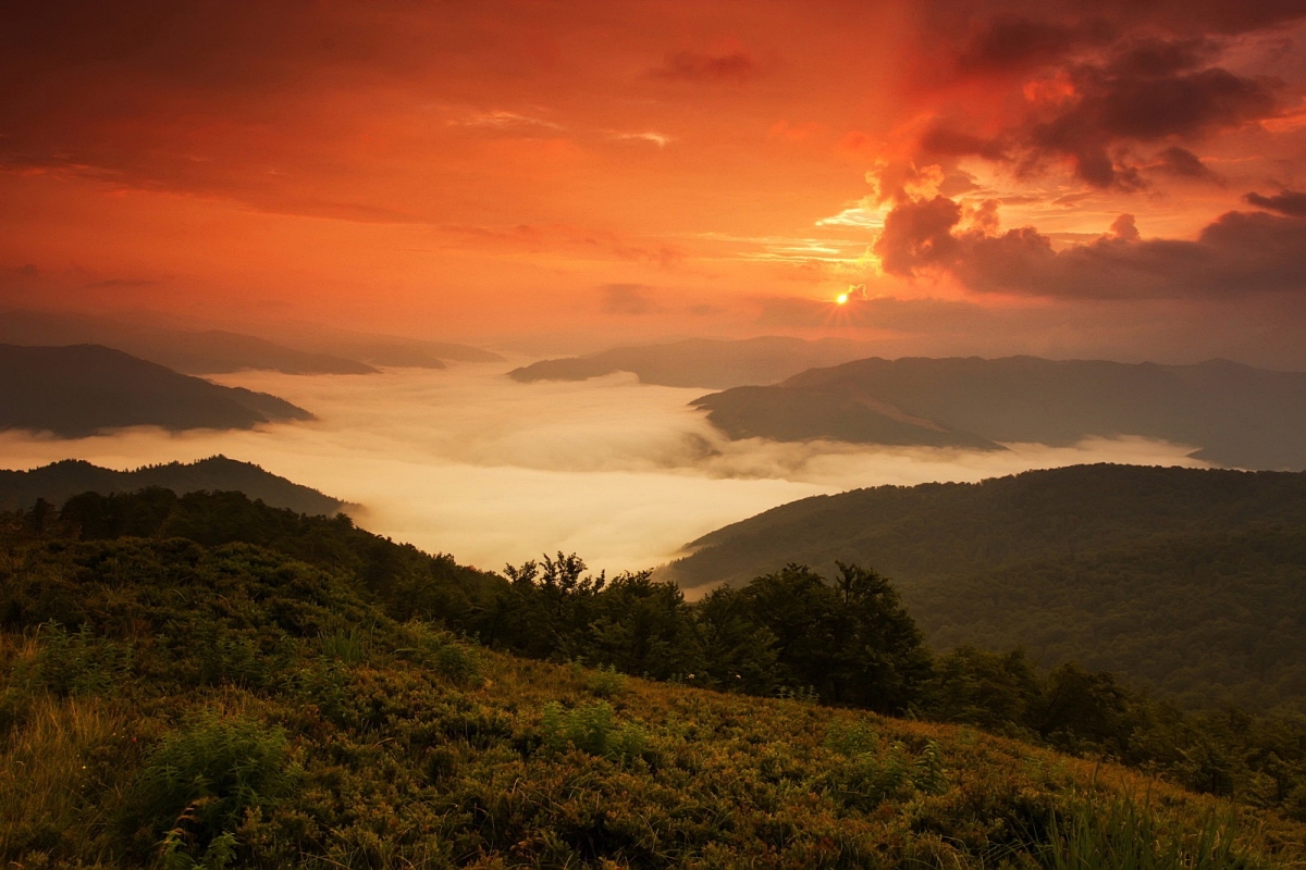
The route leads to the central, most elevated part of the ridge where more than half of its highest peaks are concentrated. Overnight stay is possible only on Lake Brebeneskul, the highest mountain lake in Ukraine. Here, on the top of Mount Brebeneskul, there is the highest water source in Ukraine.
Dzembronia village - Chufrova meadow - Rozsybenyi ridge - Mount Menchul (1999 m) - Mount Brebeneskul (2036 m) - Lake Brebeneskul - Mount Hutyn-Tomnatyk (2016 m) - Mount Rebra (2001 m) - Mount Shpytsi (1864 m) - Hajyna meadow - Bystrets village.
The length of the route is 28 km. Duration: 2 days. Seasonality: June-September.
Route 9: To the Furious Lake.
The route goes a little beyond the district, but it leads to the high-mountainous Lake Nesamovyty, which is covered with legends and tales. The route passes through the hanging valleys and hollows of the most picturesque valley of the Ukrainian Carpathians - Hajina. Overnight stay is possible only on Lake Nesamovyty.
Bystrets village - Dovbusheva krynytsia - Hajyna meadow - Mount Shpytsi (1864 m) - Lake Nesamovyte - ruins of the Polish oil mill - Mount Velyka Maryshevska (1564 m) - Bystrets village.

The length of the route is 20 km. Duration: 2 days. Seasonality: June-September.
Route 10: Along Chornohora through Kostrych.
The route runs through the lowlands, skirting high peaks and mountain ranges and crosses the Kostrych ridge only in one place. It starts in the remote village of Shybeni and ends on the Verkhovyna - Vorokhta highway. It can be walked in any weather conditions.
The village of Shybene - Highland Forestry of the KNPP - the mouth of the Pohorilets River - the sources of the Pohorilets River - Piltseve meadow - Chufrova meadow - Kosaryshche ridge - Bystrets village - Kobyleva meadow - Psarivka meadow - Mount Kostrych (1544 m) - Velykyi Khodak village - Verkhovyna Vorokhta highway.
The length of the route is 38 km. Duration: 2-3 days. Seasonality: June-October.
References used: http://carpathians.eu/marshruti/marsh...