с. Дубове – г. Апецька – с. Дубове
About the route:
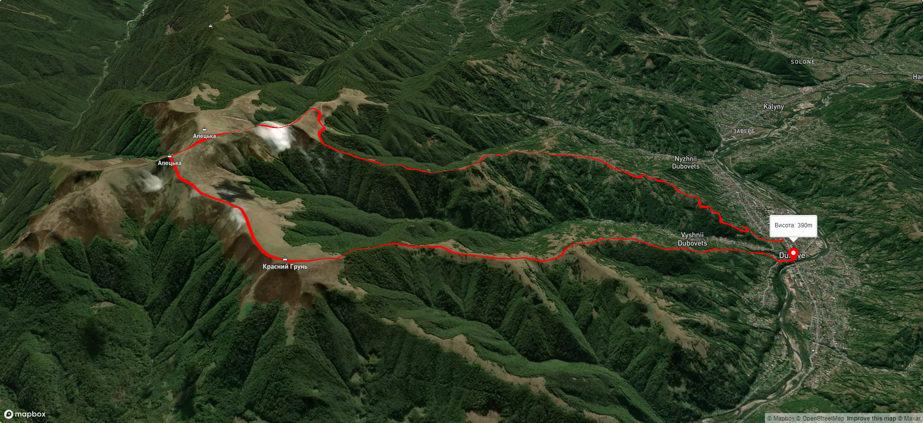
Route с. Дубове – г. Апецька – с. Дубове. Warning! This route is unmarked (it may be partially marked)! Unmarked routes are not equipped with: information boards; signposts; auxiliary signs (water, campsite, etc.). The decision to take the route is entirely your own responsibility! Trail length 21207m. Lowest point - 385m., highest point - 1490m. Total elevation gain 1212m. Along the route you will see: Гора Апецька.
🎮 3D hike
Walk this route in 3D
Real terrain, satellite map, Carpathian forests
Play →
To add a comment you can: login or register.
What to see along the route:
48.18541333345776,23.997394137304696 | Altitude: 1512м
Гора Апецька
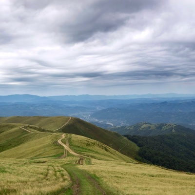 Апецька — вершина в Українських Карпатах, на межі Тячівського і Рахівського районів Закарпатської області.
... More...
Апецька — вершина в Українських Карпатах, на межі Тячівського і Рахівського районів Закарпатської області.
... More...

