The following study presents more than 200 local geographical terms of the Ukrainian Carpathians collected in the regions of Chornohora, Svydovets, Gorgany, Borzhava Polonyna, Krasna Polonyna, and Beskydy. Key words: upper forest boundary, mountain meadows, highlands. The objectives of the study are to analyze the views on the problem of using local geographical terms (LGT) in geography, in particular in landscape studies; to process numerous literary sources; to develop terminology for natural territorial complexes (NTC) of the Ukrainian Carpathians.
Certain issues of place names have been considered in the works of geographers, historians, ethnographers, and linguists since the emergence of these sciences. In addition, geographers themselves were often the creators of place names, naming continents, islands, mountain systems, etc. The first researcher of folk geographical terminology in Ukraine was S. Rudnytskyi (1877-1937), the founder of Ukrainian national geography. In 1908, his work "Outline of Geographical Terminology" was published in Lviv in the "Collection of the Mathematical, Natural History, and Medical Section". In Bolshevik-occupied Ukraine, P. Tutkovsky conducted similar research. He created a dictionary of geological terminology, which included about 5,000 Ukrainian scientific terms.
With regard to the Ukrainian Carpathians, landscape science now needs hundreds of new terms to describe various natural territorial complexes. Over the course of ten years, researchers have managed to collect about 200 local geographical terms of the Ukrainian Carpathians, many of them directly during expeditionary work in the Carpathians, and many terms have been borrowed from works of fiction, scientific works, etc. The goal is to draw the attention of a wide range of scholars to the folk Ukrainian geographical terminology, which is exceptionally rich and original, because many scholars still turn to foreign languages in search of new scientific terms, forgetting and distorting the IHT that has been tested over the centuries. However, the vernacular has been and continues to be an inexhaustible source from which the Ukrainian literary language is constantly being updated, mainly through the language of fiction and science.
"Every literary language," Franko wrote, "is alive and capable of life as long as it has the ability, on the one hand, to incorporate all the cultural elements of the present, and thus to be enriched with new terms and expressions, and, on the other hand, as long as it tends to be enriched with new elements from the specific life of the people and from the varieties and dialects of the vernacular. After all, a local term is a universal key that, in the right hands, solves many semantic and informational problems. And any landscape study should begin with the study of local geographical terms, especially when they relate to such a unique area as the Ukrainian Carpathians, because the LCT has a significant and multifaceted information potential. Let's look at the content of the most common folk geographic terms in the Carpathians.
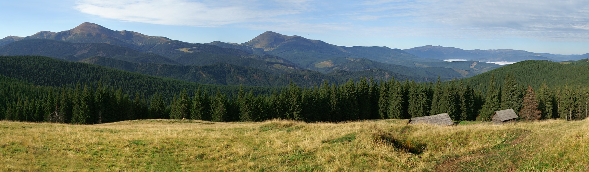
"Ozirnyi" - a lookout ridge from which you can see the surrounding nature (pictured in the photo: Ozirna meadow)
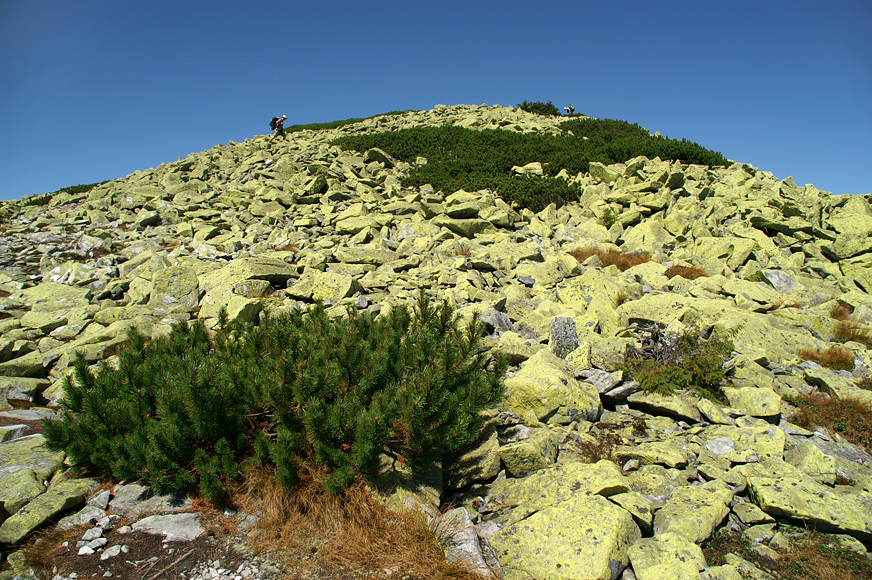
Mountain, peak, ridge. 1. Arshytsia - a steep, rocky, wild mountain, a peak; a sunny, unforested mountain slope. 2. Berdo - a low mountain, a hill, a rocky mountain, a steep slope, a rocky cliff. 3. Besked - a steep mountain slope, a cliff. 4. Beskyd is a highland; a mountain range that is a watershed; a steep mountain slope, a cliff; a mountain ravine; a mountain forest. 5. Bovd - a large sandy mountain. 6. A fool is a rock. 7. Bowd - rock; stone with rough shapes. 8. Gorda - a rock; a stone with rough shapes; an empty, "stupid" field (slope); a mountain overgrown with forest only at the top. 9. Golya - a bare, unvegetated peak. 10. Gorbaka - a low hill with gentle slopes. 11. Gorgan - a high rocky mountain. 12. Grun - a low mountain with soft contours, a hill; rocky top; the upper part of a mountain range; mountain pasture; a round wooded road. 13. Dil - a mountain, a ridge that separates two villages, two rivers, etc.; a mountain, a ridge with unforested slopes occupied by agricultural land; a piece of rock, a mountain. 14. Ky(i)chera - a mountain with a forested top; a high mountain half-covered with forest; a roof-shaped crest; a mountain covered with forest, except for the top; a rocky top; simply "mountain". 15. Kizly - (from "kizly" - rafters on the roof of a house where the roof has a sharp shape) - a pyramidal, triangular top. 16. Kechera - the top of a mountain. 17. A cliff is an unforested rocky mountain. 18. Tassel - a mountain with a forested top. 19. Magura - a hill, a rise, a mound; a high secluded peak, a mountain. 20. Menchul (Menchelyk, Munchelyk, Munchel, Menchil) - a mountain, a hill. 21. Ozirnyi - an observation ridge from which you can see the surrounding nature. 22. Planina - a meadow. 23. Pikuy - a sharp peak. 24. Plish(in)a - a mountain with an unforested peak; a bald peak. 25. Ribs - a rocky ridge (crest); a steep broken slope. 26. Horn - a sharp peak. 27. Ripa - a rocky peak; a steep cliff; a rocky slope, a crevice, an abyss. 28. Tatra - a rocky peak; a large granite rock. 29. Shchovb - the top of a mountain; a steep, rocky peak, cliff. 30. Spikes - very sharp, rocky peaks.

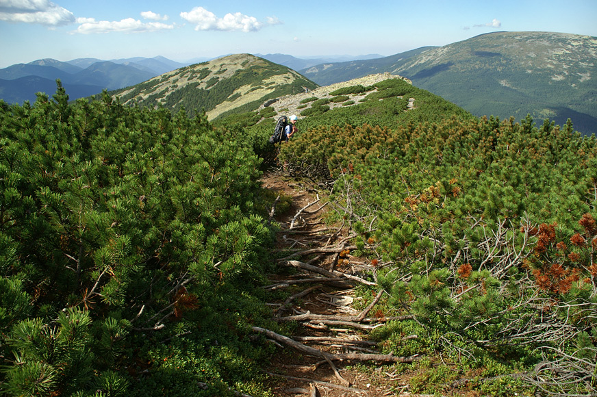
"Stud" - mountain pine (subalpine shrub).
Negative landforms (ravine, gully, valley, hollow). 1. vertep - a steep deep ravine; a cave; stony, difficult terrain. 2. Vyzviz - a road among the mountains between high steep slopes. 3. Havra - a cave, a pit. 4. Debra - a deep valley in the forest. 5. Doly - lowlands. 6. Drill - a ditch made by water in the soft layers between hard rocks. 7. Gutter - a deep, narrow valley. 8. Ravine - a deep ravine; a dry valley; waterlogged, muddy. 9. A bend is a turn of a river valley by about 90°. 10. A trough is a cut in the riverbed. 11. Cuevas - mountain jungle, abyss. 12. Foothills - a pass. 13. Podil - a place under a mountain, a hill; the coast. 14. Pereniz - a low valley (not a river valley) between two ridges, peaks. 15. Podina - a valley in a forest; a low flooded place; a valley between mountains. 16. Porichyna - an old watercourse. 17. Potochyna - a valley of a stream. 18. Prypir - a steep, rocky ledge. 19. Blind - a blind, closed valley, hollow. 20. Failure - a cliff, a collapsing wall. 21. Abyss - a steep, precipitous slope. 22. Rift - a narrow, elongated valley between two ridges. 23. Ditch - a cut ravine; an artificial depression. 24. Riverbed - an old stream, an old channel. 25. Skok(s) - rocky protrusions in the riverbed, rapids, ribs. 26. Uviz - a gorge. 27. Ulogs - circuses, executions. 28. Precipice - a rough overhanging cliff; a deep gap in the rock. 29. Fosse - a ditch, a ditch made by man. 30. Tsara - a valley. 31. Adit - a deep crevice in the rock; a rough overhanging rock. 32. Yazvir - a deep ravine with a spring. 33. Yama - valley, hollow. 34. Yaruga - a large ravine. 35. Jaskynya - a cave (from the Slovak "jaskyňa").
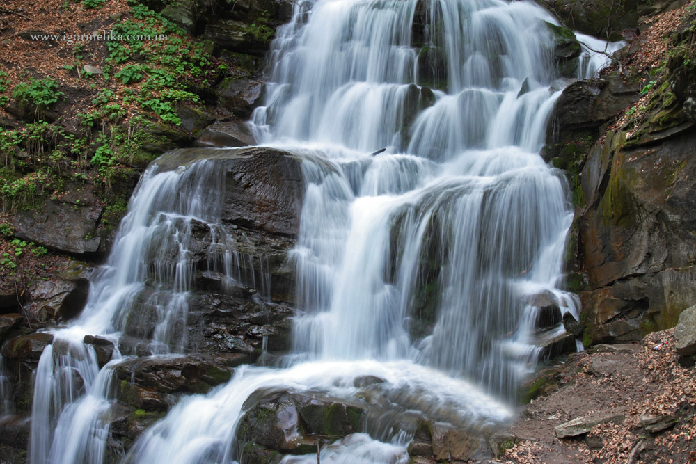
"Whisper", "hiss" - a cascade on a river, a noisy stream.
Land, slopes (other forms of relief). 1. Butan - a log cabin, a place of logging. 2. Golitsa - a clearing in the forest. 3. Gotar(a) - a stony, barren place; a boundary, a watershed. 4. Zanoga - a tract between peaks. 5. Zarinok - banks covered with alluvial deposits; coastal meadows, pastures. 6. Kuyava - an empty deserted place. 7. Laz - a hayfield (meadow) in the forest. 8. Side - the slope of the mountain. 9. Obnoga - the sole of the mountain; foot. 10. Pereluka - a meadow, hayed among the forest. 11. Piskun - low sandy terrain. 12. Sills - the continuation of the terrace slope. 13. Prypichok - a steep mountain slope; a steep, downhill section of a mountain road. 14. Clearance - a strip (line) of felling in the forest. 15. Prochert - a clearing in the forest. 16. Rin - coastal sand, gravel, pebble; the river bank is covered with sand and pebble sediments. 17. Steep - a steep slope, a steep place. 18. Toloka - summer pasture for cattle. 19. Tsarynka - a fenced field, meadow, garden near a house; arable land, cultivated field; anthropogenic meadows in the forest.

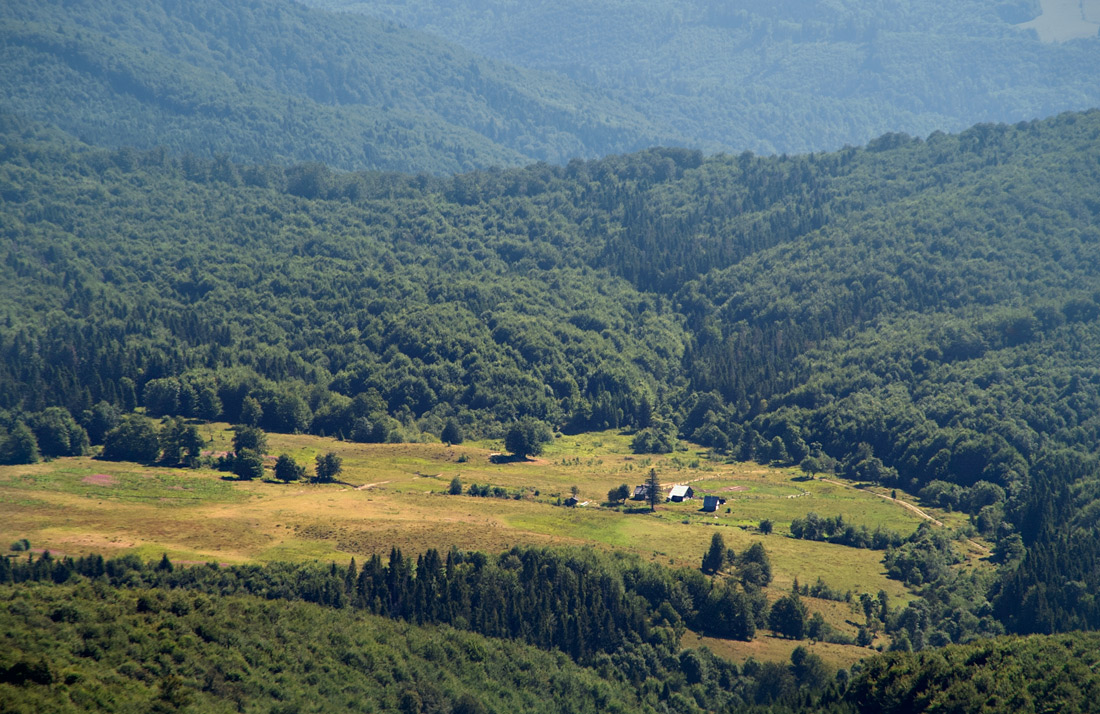
"Pereluka" - a meadow, hayed in the middle of the forest (in the photo: the Preluky tract, Polonyna ridge)
Aquatic protected areas. 1. Bolbana - a whirlpool, a deep, turbulent place in the river. 2. Bombelo - deep water below a waterfall; a pit with water in an old riverbed. 3. Borkut - a source of carbonated mineral water; carbonated mineral water; a place with carbonated mineral water. 4. Vershad - the headwaters, the beginning of a river (stream); source, source. 5. Whirlpool - a steep on the river. 6. Window - a deep (dangerous) place in a river, lake; open water overgrown in a swamp; whirlpool; rising spring. 7. Gaba, gabyk - a tumble, a wave. 8. Gat - a dam, embankment, weir on a river; a path through a river, swamp; stagnant water. 9. Head - the source, the beginning of the river. 10. Gotz - a waterfall. 11. Gruzy - dangerous, difficult places. 12. Gurkalo - a small (low) waterfall. 13. Hook - a large, loud waterfall. 14. Kaplivets (from kapaty), scap - a waterfall on a stream with a small flow. 15. Kapko - a spring with a small flow rate (from kapaty). 16. Kashytsia - a lining of trees (stones) to protect the banks. 17. Nora - a deep source; a place where groundwater temporarily comes to the surface. 18. Okolina - a large bend. 19. Roztoki - the place of confluence (branching) of two rivers. 20. Raw water - salt water. 21. Tama - a dam, a weir. 22. Terlo - a place of spawning fish. 23. Rosish - branching of rivers. 24. Tsovt - a sharp rock at the bottom of a river. 25. Tsurkalo - a spring with a water outlet and a drain, a trough for intercepting water. 26. Shi(e)pit - a cascade on a river; a noisy stream. 27. Shnuriv - a straight section of the riverbed with a calm flow. 28. Shurchyn - a stormy section of the riverbed with a noisy current. 29. Shchava - a spring with sour water; an area covered with sorrel (kvask).
Rocks, natural and geographical processes and weather phenomena. 1. Bagwa - a wet, marshy area. 2. Mud - a swamp in a meadow, field, mossy bog (gluh). 3. Balta - a marshy area, a valley with a swamp. 4. Bayura - a pit, a puddle with liquid mud (dirty water). 5. Bolvany - rocky blocks, large shapeless stones, rough forms. 6. Veremie - good weather (or weather in general). 7. Gnylyak - a swampy stream (with stagnant water). 8. Gregots - stone placers, classically expressed in the Gorgany. 9. Mud - thick, viscous, viscous mud on a path or road. 10. Dzega - a windmill in the forest. 11. Drag - a shaky, pliable marsh, wet unstable place. 12. Zarva (zarvitsa) - a cliff, a collapse, a landslide. 13. Zarulo - a blaze. 14. Zlom - a storm in the forest. 15. Kalabanya - a shallow, drying puddle on the road, path. 16. Legit - a breeze. 17. Lupak - shale. 18. Lyapavka - liquid mud on the road, path. 19. Masko(a)la - a damp, marshy area, sticky swamp. 20. Mishivo - mixed sticky mud on the road, path. 21. Mochar - a wet field, haying in a valley; wet lowland. 22. Mlaka - a wet field, a wet meadow; lush grass in a swamp. 23. Mrazhytsia - a swamp in the forest. 24. Mrech - drizzle, fog. 25. Oblaz - a cliff, a steep. 26. Osovyna - landslide, landslide slope. 27. Floods - heavy sudden rains, floods. 28. Spit - rainy weather. 29. Failure - a cliff. 30. Rust - liquid mud of rusty color. 31. Saga - a swamp in a meadow; muddy bog. 32. Saun - an avalanche. 33. Seren - frozen snow. 34. Spad - dew on flowers. 35. Bog - a thick deep swamp. 36. Cecotes - fine gravelly material that covers slopes, formed as a result of weathering. 37. A large boulder at the bottom of a river. 38. Sharuga - a snowstorm, blizzard. 39. Shooter - small stones.
Flora and fauna. 1. Bashtarnik - spruce virgin forest. 2. Forest - pine forest. 3. Bechka - willow, vine. 4. Blavat - cornflower. 5. Buchina - beech forest. 6. Verification - a squirrel. 7. A wind-turned tree, a place from which the wind has turned the tree. 8. Wine - grapes. 9. Gadzhuchka, gadzhucha - a young dew. 10. Gachuga - a tall spruce. 11. Gotur - grouse, wood grouse. 12. Thicket - a dense (difficult to pass) forest. 13. Dzega - a windy, difficult place. 14. Dzemir (zemir) - jungle, dense dark forest. 15. Dibrova - oak forest. 16. Dick - a wild boar. 17. Zhovna - woodpecker. 18. Stallion - mountain pine (subalpine shrub). 19. Zanyadrt - slum. 20. Zapust - forest culture, young forest plantations. 21. Izvir - forest thicket; wild, impassable place. 22. Konar - a thick branch. 23. Kosoderevyna - mountain pine. 24. Klebuk - a thicket. 25. Kumbuk - a tree with the top cut off and growing in breadth. 26. Lelich - green alder (subalpine shrub). 27. Polonyna - alpine-subalpine meadows. 28. Pergach - a bat. 29. Pstrug - trout. 30. Rapavka - frog. 31. Sigla - a tall spruce forest; a mountain covered with spruce forest; a spruce tree with only apical branches. 32. Tram - a thick tree, a log; a burden. 33. Trembling - aspen. 34. Tursuk - a young spruce forest; young forests; bushes. 35. Khabaz - weed. 36. Thickets - lowland thickets (trees, shrubs). 37. Khomnik - thickets. 38. Hopta - weed. 39. Shuvar - reeds. 40. Silk braid - edelweiss. 41. Chegir - a shrub. 42. Chetinya, chetina - branches of pine needles.
The use of local geographical terms will help to achieve conciseness in the legends of landscape maps, and will help to spell place names correctly. It can serve as an auxiliary tool in the reconstruction of derivative natural territorial complexes (NTCs). For example, the toponymic materials were used to reconstruct post-forest PAs in the area of the anthropogenic upper forest boundary of the Ukrainian Carpathians, with the landscape method playing a leading role. However, it should be noted that these place names require a critical attitude, since the names of peaks, ridges, tracts, etc. often reflect not only natural (undisturbed or slightly disturbed) features of the area, but also those that have already been changed by humans and given names. Thus, the use of folk terms to enrich scientific terminology requires a comprehensive (landscape) approach.
Author: A. Baitzar (Ivan Franko National University of Lviv). Photo: Ihor Melika
References used: http://igormelika.com.ua/moi-karpati/...