Mount Velykyi Pustoshak
Velykyi Pustoshak is a 1,423 m summit (1,427 m according to other sources) in the northern Gorgany, in the Kalush district of Ivano-Frankivsk Oblast. It is the first summit of the Arshytsia ridge from the west; the ridge’s highest point, Horhan-Ilemskyi (1,587 m), lies about 4.2 km to the south-east. The nearest village is Myslivka, about 5.7 km as the crow flies, where almost all hikes onto the ridge begin.
Nearby rise Malyi Pustoshak (1,313 m) about 1.5 km to the north-west, Ilmovyi Verkh (1,036 m) 1.7 km to the north-east, Nimetska (1,185 m) 1.8 km to the east and Zhuravel (1,104 m) 2.2 km to the north. The Ilma river rises north-west of Horhan-Ilemskyi, and the Svicha valley bounds the ridge to the west.
How to get there
Eight of our routes cross Velykyi Pustoshak or pass within 150 m of it. The shortest is To Horhan-Ilemskyi (11.6 km). A loop option is Myslivka – Mount Horhan-Ilemskyi – Myslivka (24.0 km). Over the summit itself and the Nimetska pasture to Osmoloda runs Myslivka – Mount Velykyi Pustoshak – Nimetska pasture – Mount Horhan-Ilemskyi – Osmoloda (35.0 km, about 1,500 m of ascent). A longer loop is Myslivka – Mount Yaiko-Ilemske – Mount Horhan-Ilemskyi – Myslivka (36.3 km).
Water, shelter and safety
There is no water right at the summit: on our map the nearest spring is about 2 km to the east (around 1,145 m), and the springs below Horhan-Ilemskyi are 2.3–2.9 km to the south-east (one of them weak). A shelter in the valley near Myslivka is about 2.6 km to the north-east, and a weather shelter below Horhan-Ilemskyi about 3.4 km to the south-east. Their condition is unknown, so carry water from the village. In fog it is easy to lose the path on the rocky sections of the ridge. The nearest summit with our forecast is weather on Hrofa (about 18 km away). In an emergency call 112 or 101 — contacts of the nearest units are on our mountain rescue page.
Interesting facts
- On a slope below the Nimetska pasture, at about 960 m, a patch of forest with English yew has been protected since 2018 — here the yew grows near the upper limit of its range.
- In 1983 a MiG-23 military jet crashed into the Arshytsia ridge near Horhan-Ilemskyi; a restored memorial stands at the crash site.
Comments
Places to stay nearby
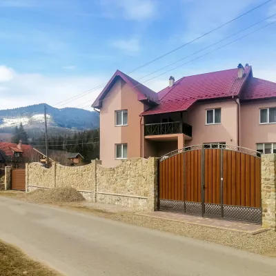 HotelDen House4 km from Mount Velykyi PustoshakPoolSaunaBreakfastNearby: Mt Gorgan-Ilemsky 8.0 kmMt Yayko-Ilemske 10.0 km7 trails
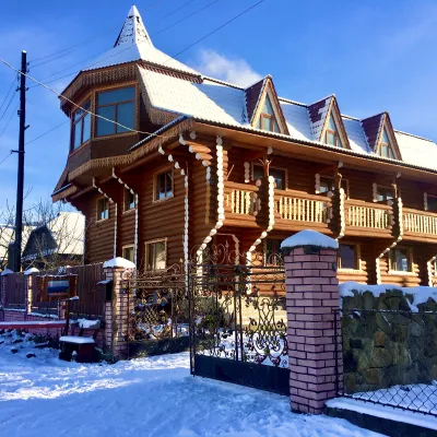 HotelChayna Khata13 km from Mount Velykyi PustoshakHot tubBBQKitchen
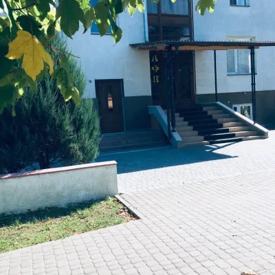 HomesteadManchela Homestead20 km from Mount Velykyi PustoshakThe homestead offers daily accommodation services.Nearby: Carpathian Tram 1.0 kmShyrkovets Swamp 6.7 km
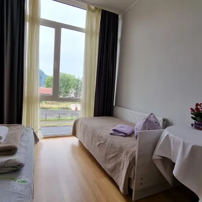 HomesteadManchela Homestead20 km from Mount Velykyi PustoshakBBQParkingWi‑FiNearby: Carpathian Tram 1.0 kmShyrkovets Swamp 6.7 km
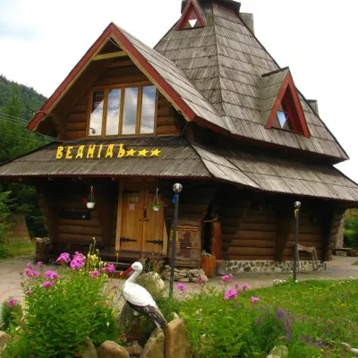 HotelHotel "Vedmid" Mykulychyn4.3 km from Mount Velykyi PustoshakSaunaSPAFireplaceNearby: Mt Gorgan-Ilemsky 8.4 kmPolonyna Shchavna 9.4 km7 trails
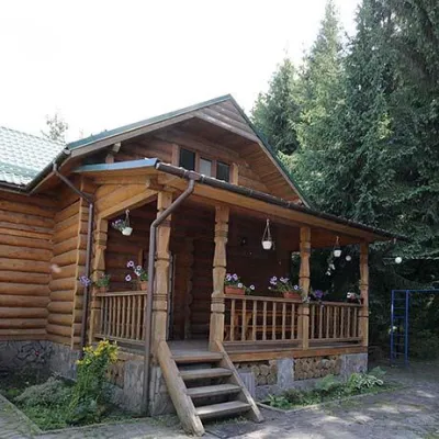 CottageCottages "Pid Lisom" Vyshkiv13 km from Mount Velykyi PustoshakHot tubPoolSaunaNearby: Big Megla 9.3 km
Trails nearby
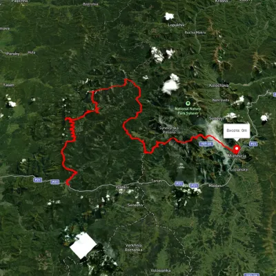 HardMulti-dayUnmarkedMyslivka village to Mizhhiriavia Mount Moloda, Mount Popadia +3Elevation profile444–1 717 m117 kmascent 6 438 munder 1 km from Mount Velykyi Pustoshak
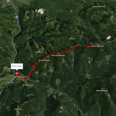 ModerateOne-dayMarkedTo Mount Horhan IlemskyiElevation profile651–1 568 m11.6 kmascent 535 m≈ 4 h walkingunder 1 km from Mount Velykyi Pustoshak
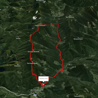 HardTwo-dayUnmarkedMyslivka village loopvia Mount Horhan-IlemskyiElevation profile662–1 574 m24 kmascent 1 214 m≈ 8.5 h walkingunder 1 km from Mount Velykyi Pustoshak
Nearby attractions
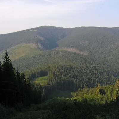 PeakMount Gorgan-Ilemskyaltitude 1 587 m · Gorgany range4.2 km from Mount Velykyi Pustoshak8 trails to the topMount Gorgan-Ilemsky is the peak of the Ukrainian Carpathians, located on the Arshytsia ridge of the Gorgan mountain range.
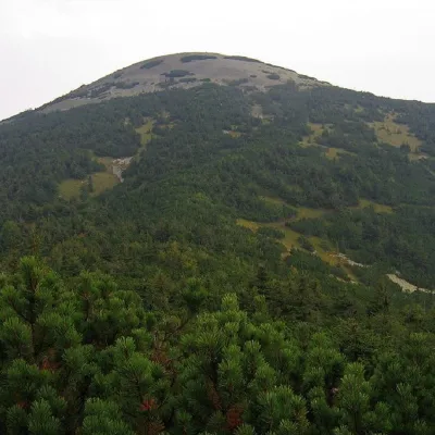 PeakMount Yayko-Ilemskealtitude 1 680 m · Gorgany range7.3 km from Mount Velykyi Pustoshak7 trails to the topMount Yayko-Ilemske is the peak of the Ukrainian Carpathians, located in the western part of the Gorgan mountain range.
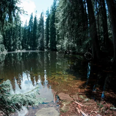 LakeLake Arshitsa, Osmoloda7.5 km from Mount Velykyi PustoshakLake Arshytsia is the highest lake on the ridge (1300 m) and was recently discovered in April 2009 by a tourist from the Dolyna, Viktor Verkhovynets, as evidenced by a...